Plizio Visual Lab
Nibok

ℹ️Practical info — Nibok
▾
🌤 Weather — 5 days
📍 Nearby
Sights nearby
💡 Tips
- Explore the hillside roads to see remnants of the island's phosphate mining history.
- The sunset views from the western slopes are spectacular; find a high vantage point.
- Watch out for stray dogs when walking the inland paths.
- It gets very hot in the afternoon; schedule your walks for early morning or late evening.
🍽 Food
Available at small takeaway stalls along the main western road.
A modern staple of the Nauruan diet, often served with rice at local joints.
Grab cold sodas from neighborhood convenience huts.
🛍 Shopping · 🧘 Quiet spots
Pick up basic snacks and drinks for the road.
Ask locals if there are small historic items or crafts available.
Look out over the western coast from the quiet inland slopes.
Observe the dramatic limestone formations left by mining in peace.
Water temperature…
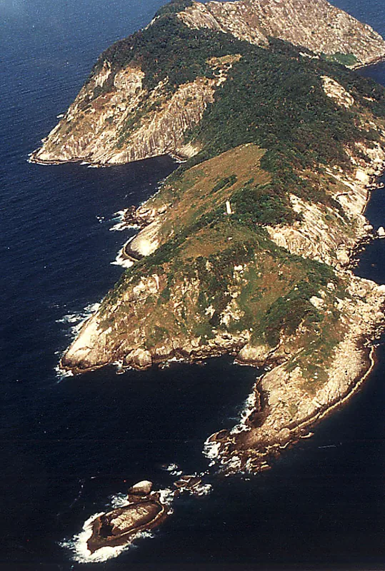
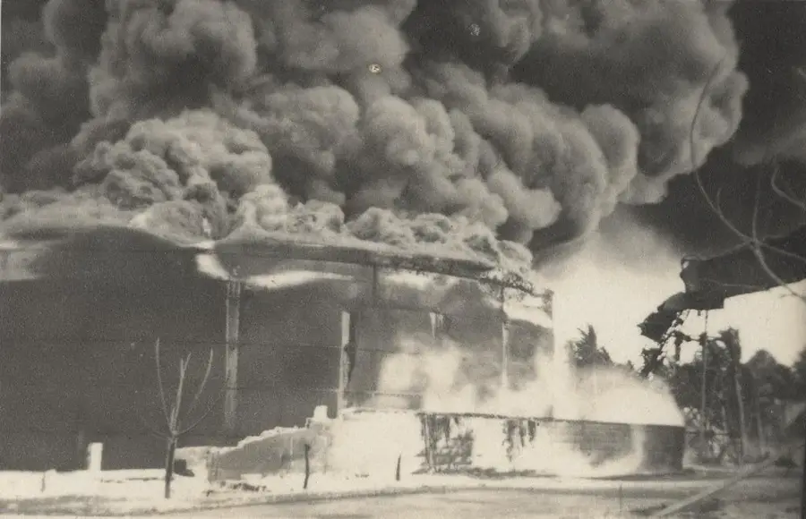
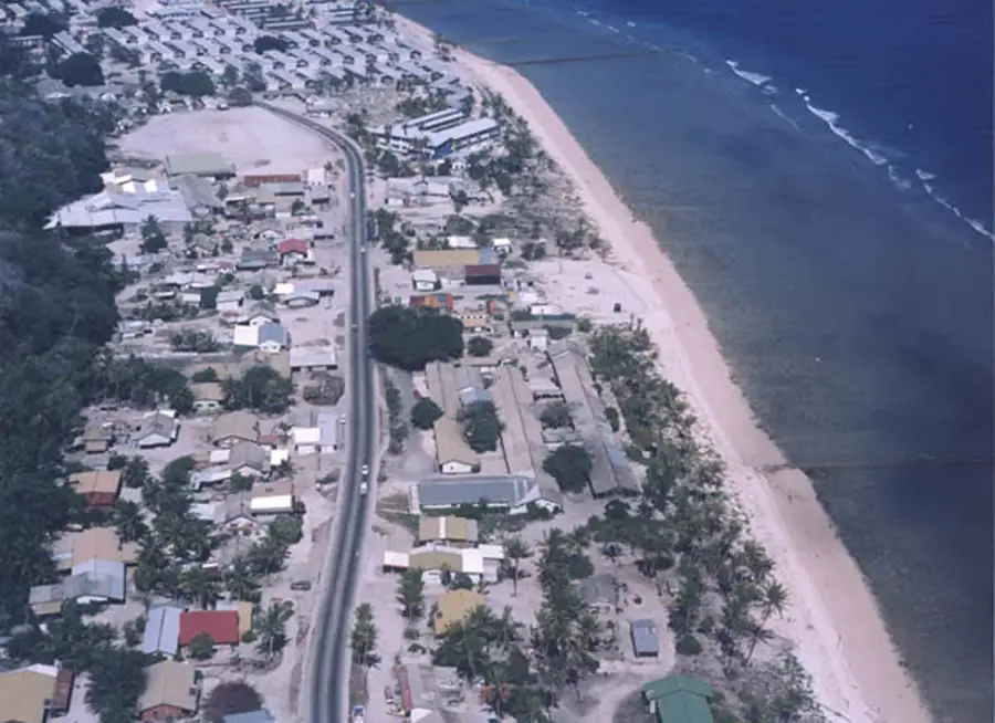
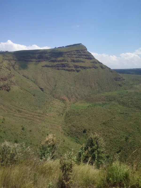
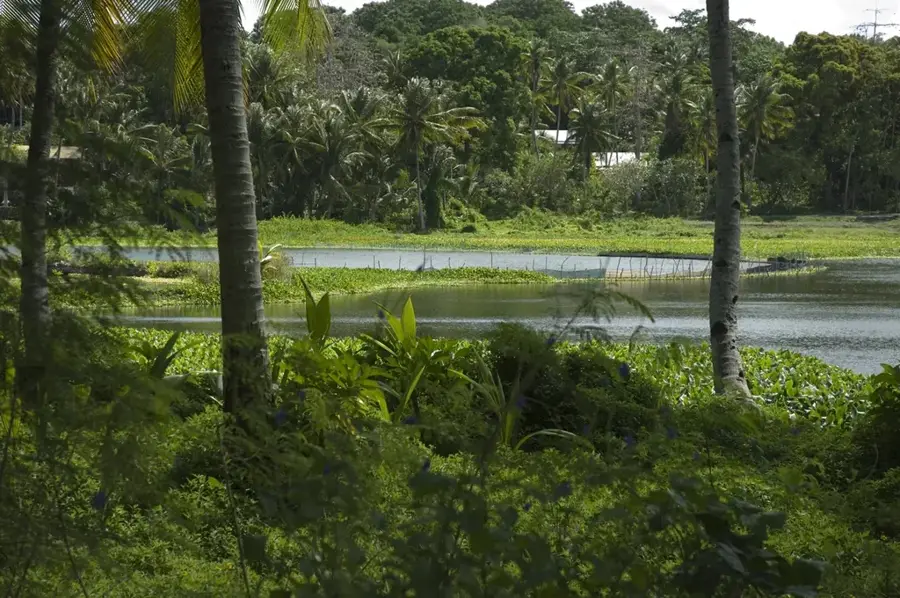
Nibok is a district located on the western coast of Nauru, serving as a poignant reminder of the island's complex relationship with phosphate mining. The district stretches from the narrow, palm-fringed coastal plain up towards the central plateau known as Topside. While the shoreline is a bustling residential area for many mining families, the inland portion of Nibok reveals a dramatic, scarred landscape. Decades of extraction have stripped away the topsoil, leaving behind a forest of jagged limestone pinnacles that create a surreal, lunar appearance. This terrain is a stark testament to the environmental cost of the wealth that once made Nauru one of the richest nations per capita. Throughout Nibok, remnants of the old mining infrastructure, including rusted rail tracks and loading facilities, can still be found, offering a glimpse into the industrial past. Despite the heavy impact of mining, the district's elevated positions provide some of the best sunset views on the island. Nibok encapsulates the dual identity of Nauru: a traditional Pacific community living on the edge of a landscape transformed by global industrial demands.
- Location: Nauru
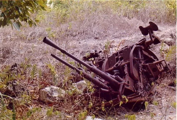
- Top sights: Command Ridge · Japanese WWII Gun · Monument to the Nauruans Exiled in WWII
- Nearby: Arenibek (4 km)
- Population: ~747
Best time to visit & climate
The most pleasant time to visit is May, Jun, Sep.
| Jan | Feb | Mar | Apr | May | Jun | Jul | Aug | Sep | Oct | Nov | Dec | |
|---|---|---|---|---|---|---|---|---|---|---|---|---|
| Avg °C | 28 | 28 | 28 | 28 | 28 | 28 | 28 | 28 | 28 | 28 | 28 | 28 |
| Rain mm | 194 | 192 | 193 | 161 | 116 | 107 | 123 | 118 | 108 | 118 | 133 | 202 |
Geography
Facts
- Located on the northwestern coast of the island
- Land area of approximately 1.6 square kilometers
- Part of the Ubenide electoral constituency
- Site of workshops for the phosphate corporation
- Borders Denigomodu and Uaboe districts
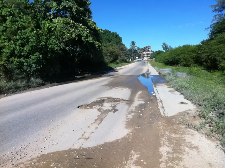
- The coastal main road runs through the district
Explore nearby
Notable places around
Route planner — Car & Motorhome
Where do you start? We build the route here, with stops and country notes along the way.
© OpenStreetMap contributors · OpenRouteService
Sights in the town Nibok (10)
Buada Chapel
A small chapel inland, near Buada Lagoon.
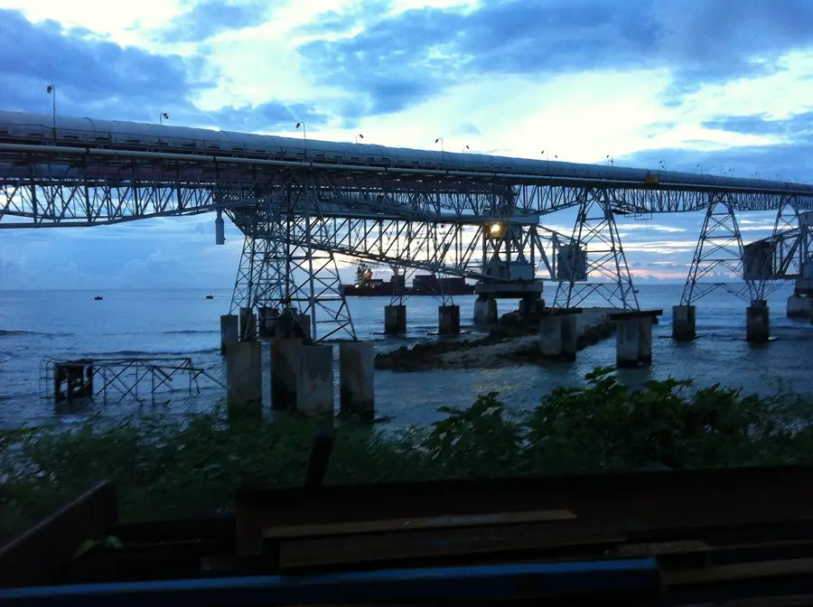
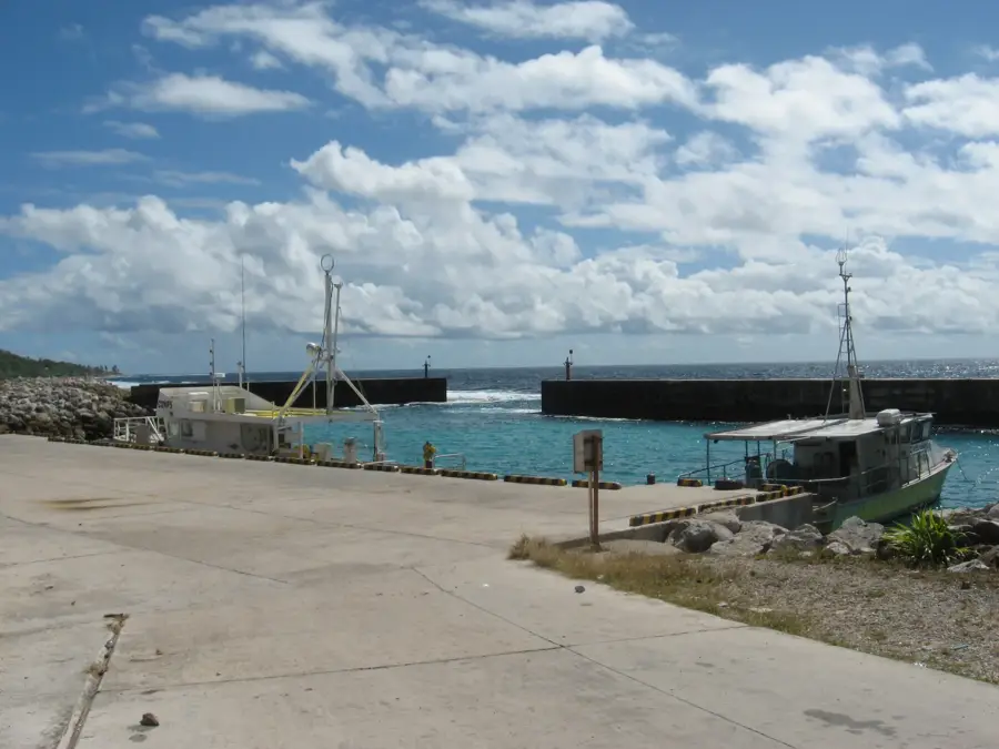
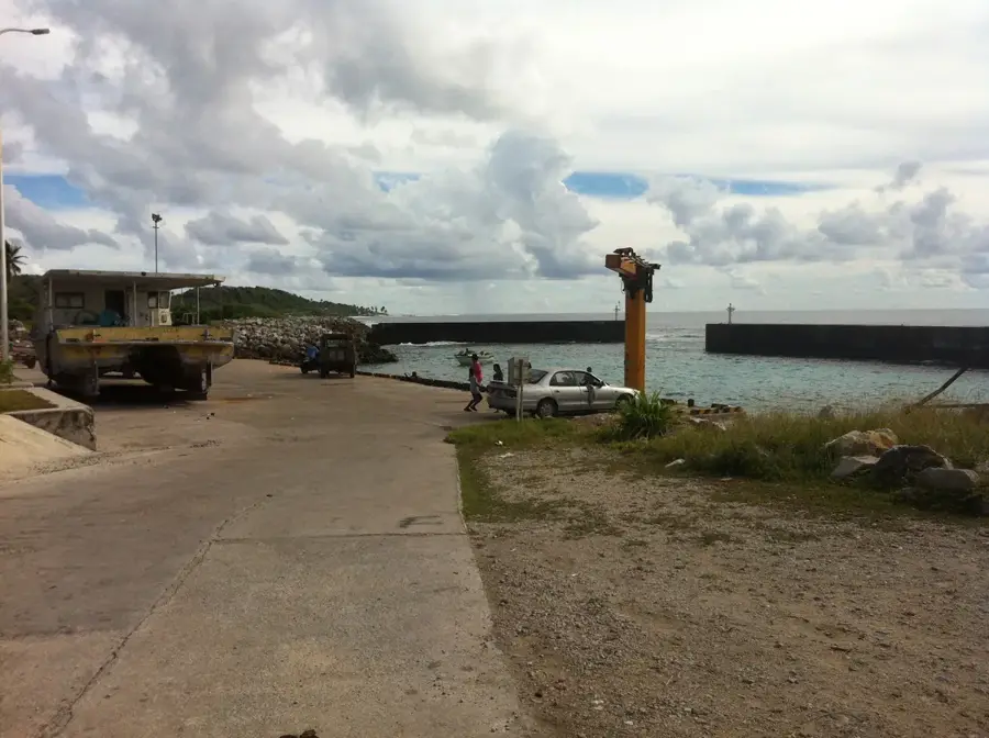
Cantilever Cranes
Old phosphate loading cranes at the port, industrial relics.
A.O.G
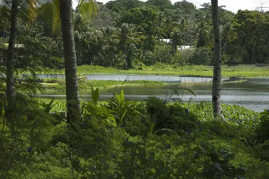
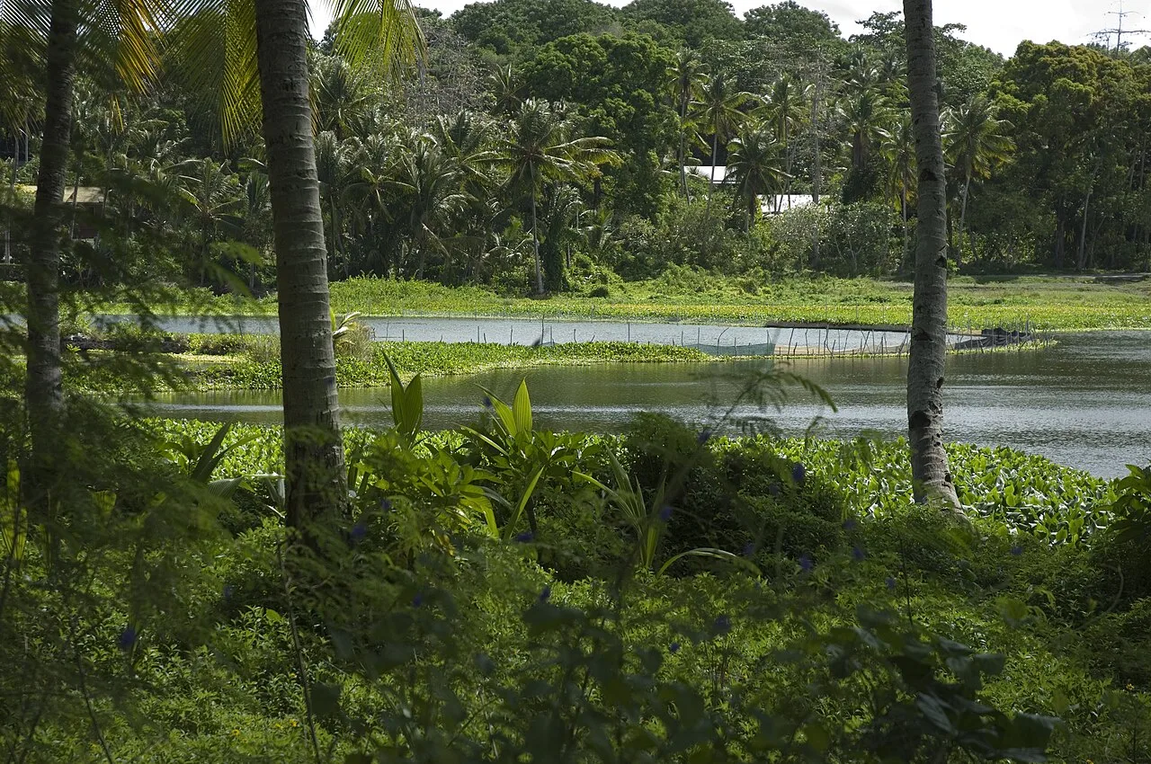
Lagoon viewpoint
Viewpoint overlooking the central lagoon of Nauru.
Japanese WWII Prison
Ruins of a Japanese prison from the occupation period.
Orro Congregational Church
Congregational church in the Orro district.
Naoero Museum🏛 museum
Nauru's national museum, featuring exhibits on island history.
Frequently asked questions
What is there to see in Nibok?
How much time is needed for a visit?
Is Nibok safe for tourists?
Is there a restaurant there?
What is the beach access like?
Nibok: where is it located?
Nibok: what is there to see?
Nibok: when is the best time to visit?
Nibok: why is it worth visiting?

Nearby cities


History & landmarks


Nature

More places