Plizio Visual Lab
Denigomodu

ℹ️Practical info — Denigomodu
▾
🌤 Weather — 5 days
📍 Nearby
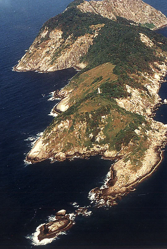
Sights nearby
💡 Tips
- As the most populous district, visiting the 'Location' housing area gives a unique glimpse into Nauru's diverse community.
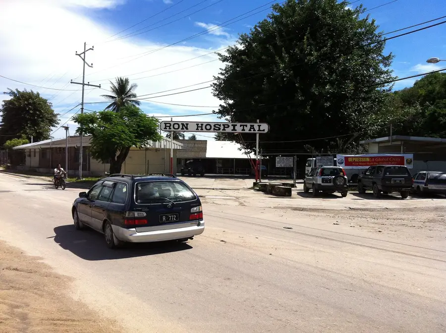
- The Nauru State Hospital is located here and serves as a major landmark for navigation.
- Be respectful when taking photos in residential compounds; always ask for permission first.
- While distances are small, the intense equatorial sun makes having a vehicle essential for comfort.
- This district is one of the better places on the island to find internet access or Wi-Fi hotspots.
🍽 Food
Try simple, home-style meals like noodles or curry from the small stands near the worker housing.
A local sweet bread often sold in the small community shops around the residential area.
Look for roadside smoke on weekends; locals often grill fresh reef fish which is delicious and affordable.
🛍 Shopping · 🧘 Quiet spots
Small convenience stores within the housing compounds offer a mix of Asian and Pacific island goods.
Occasionally, colorful Pacific-style shirts and dresses are sold at makeshift roadside stalls.
The shaded areas around the State Hospital offer a relatively quiet spot in this busy district.
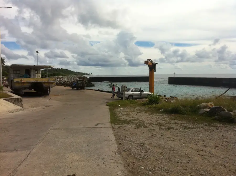
Walking along the coastal edge of the district in the late afternoon provides nice views of the reef flats.
Water temperature…
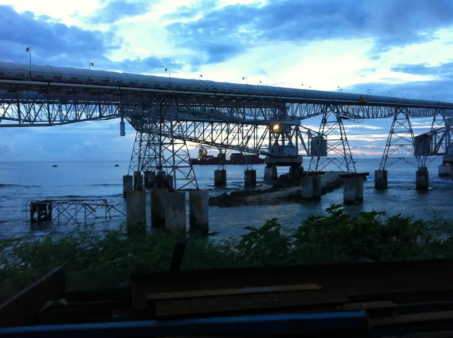
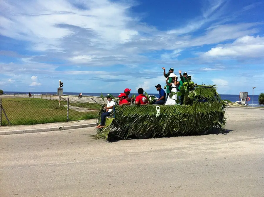
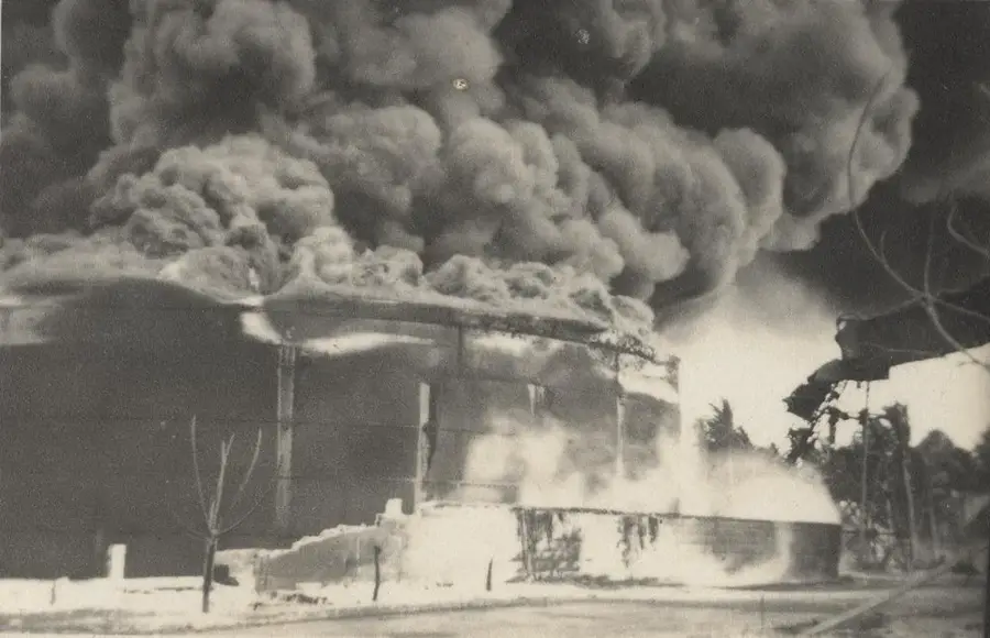
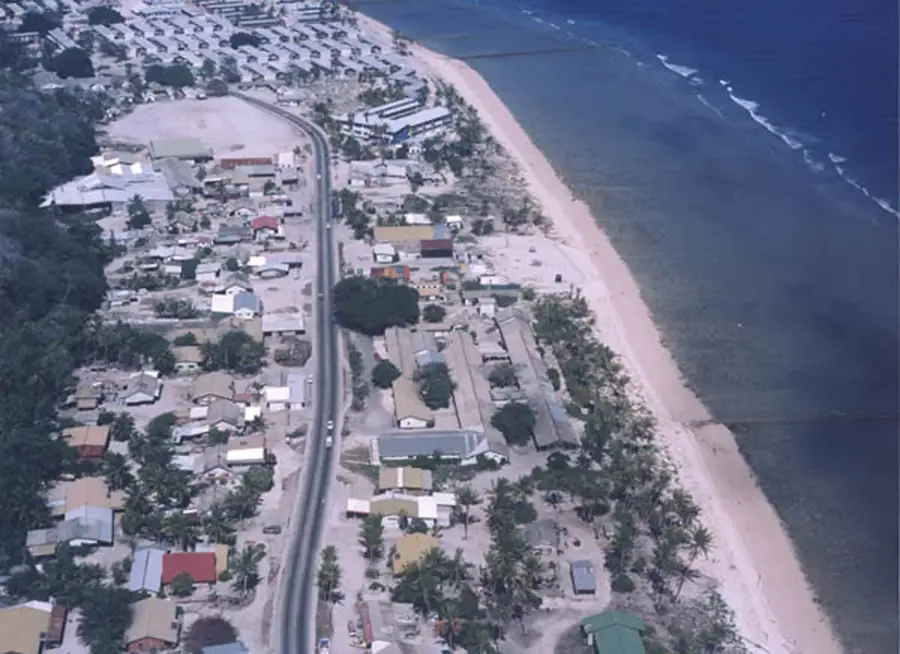
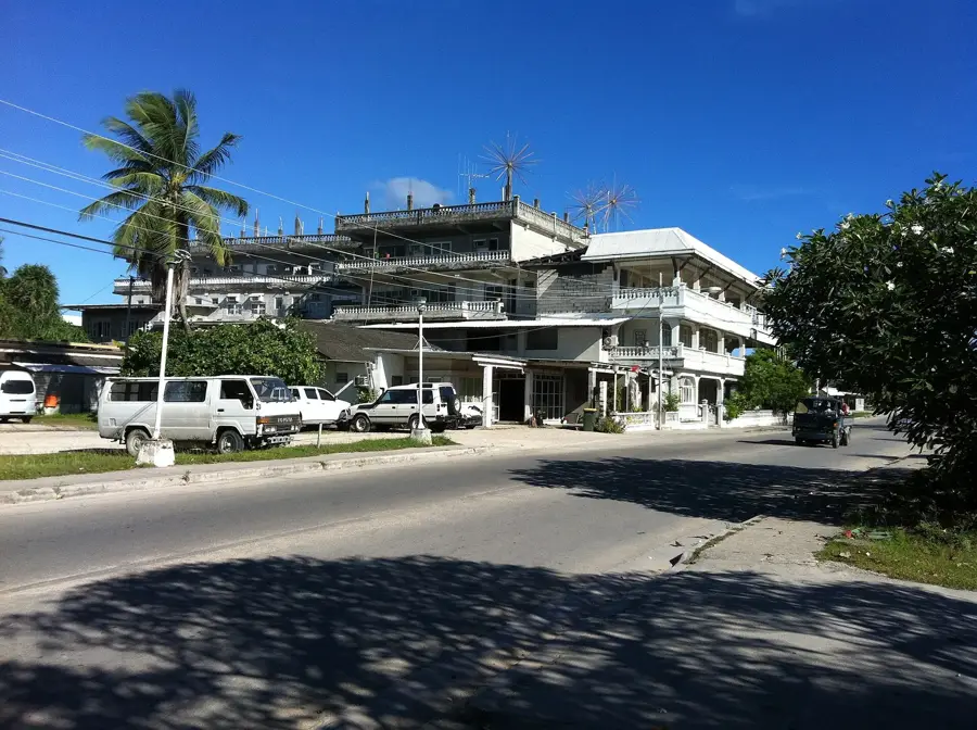
Denigomodu stands as the most densely populated and industrially significant district of Nauru, reflecting the island's complex relationship with its natural resources. Located on the western coast, it serves as the residential hub for the expatriate workforce employed in the phosphate industry, many of whom reside in the large housing complex known as "The Loc." The district is also the site of the Nauru General Hospital, the primary healthcare facility for the nation's citizens. Historically, Denigomodu was shaped by the infrastructure required for phosphate processing and export, including the large cantilever structures used for loading ships. While the landscape bears the marks of decades of intensive mining, the community remains a vital center of daily life, where the intersection of traditional Nauruan culture and the demands of modern industry is most visible.
- Location: Nauru
- Top sights: Monument to the Nauruans Exiled in WWII · Cantilever Cranes · Command Ridge
- Nearby: Anetan (4 km)
- Population: ~747
Best time to visit & climate
The most pleasant time to visit is May, Jun, Sep.
| Jan | Feb | Mar | Apr | May | Jun | Jul | Aug | Sep | Oct | Nov | Dec | |
|---|---|---|---|---|---|---|---|---|---|---|---|---|
| Avg °C | 28 | 28 | 28 | 28 | 28 | 28 | 28 | 28 | 28 | 28 | 28 | 28 |
| Rain mm | 194 | 192 | 193 | 161 | 116 | 107 | 123 | 118 | 108 | 118 | 133 | 202 |
Geography
Facts
- Most populous district on the island
- Home to the Nauru General Hospital
- Site of the 'Location' settlement for migrant workers
- Land area of approximately 1.18 square kilometers
- Crucial hub for phosphate industry infrastructure
- Located between Nibok and Aiwo districts
Explore nearby
Notable places around
Route planner — Car & Motorhome
Where do you start? We build the route here, with stops and country notes along the way.
© OpenStreetMap contributors · OpenRouteService
Sights in the town Denigomodu (10)
A.O.G
Christian church in Denigomodu, part of the Assemblies of God.
Broken Down Cantilever Cranes
Dilapidated cantilever cranes in Denigomodu, remnants of the phosphate industry.
Orro Congregational Church
Christian church in Denigomodu, used by the Congregational community.
Buada Chapel
Chapel in Denigomodu, used by the Christian community.
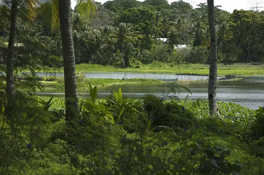
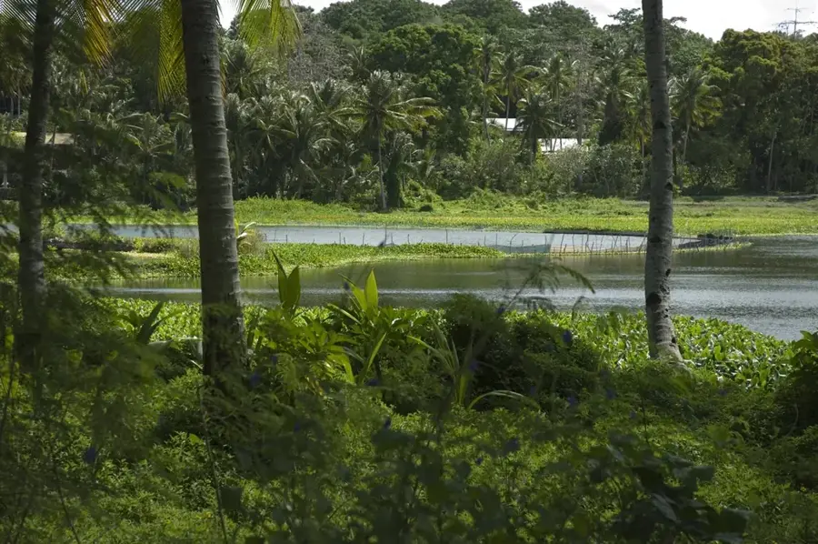
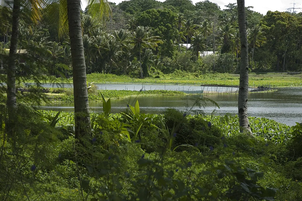
Lagoon viewpoint
Viewpoint over the lagoon in Denigomodu, a quiet spot by the water.
Naoero Museum🏛 museum
Museum in Nauru, showcasing the history, culture and nature of the island nation.
Frequently asked questions
What characterizes the townscape of Denigomodu?
Is Denigomodu interesting for tourists?
How are the transport connections?
Are there green spaces nearby?
Is a visit dangerous?
Denigomodu: where is it located?
Denigomodu: what is there to see?
Denigomodu: when is the best time to visit?
Denigomodu: why is it worth visiting?

Nearby cities


History & landmarks


Nature
More places