Plizio Visual Lab
Denigomodu Coast

Weather…
Water temperature…
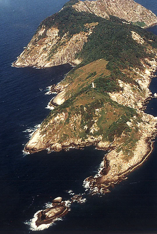
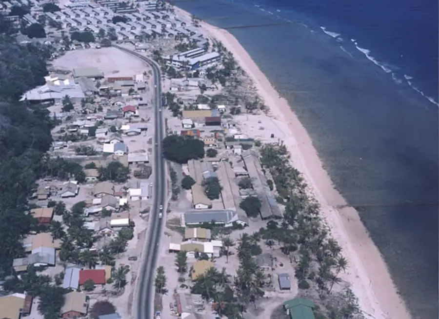
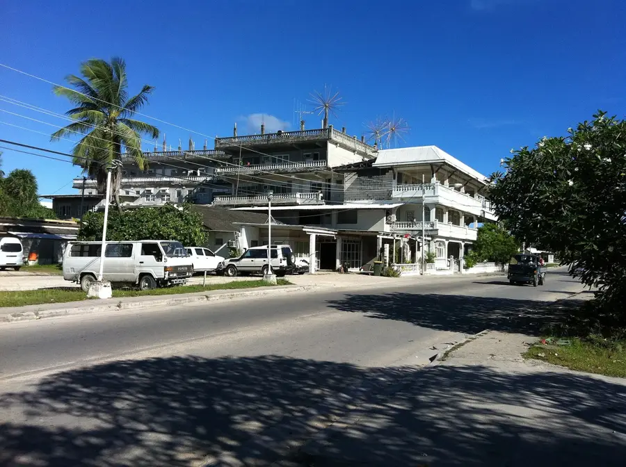
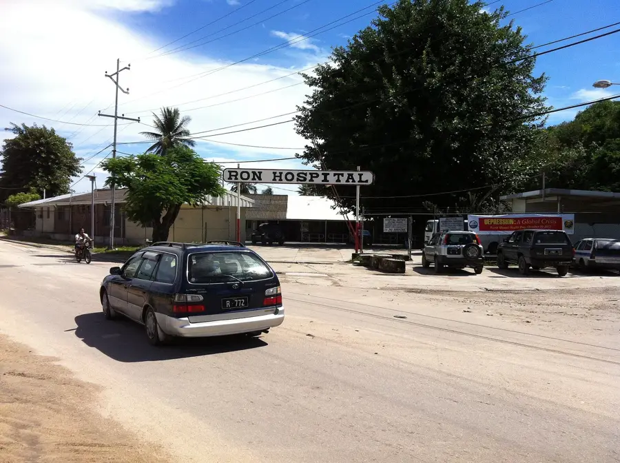
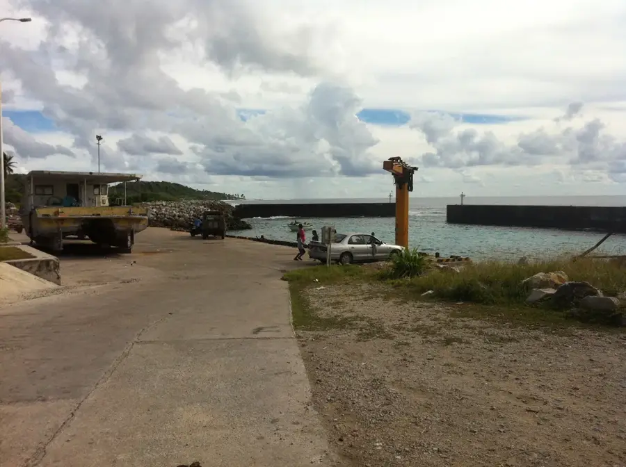
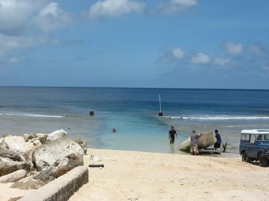
The Denigomodu Coast stretches along the western edge of Nauru, offering a fascinating look at the island's unique coral geology and the daily lives of its residents. The shoreline is defined by a wide, expansive reef flat that is exposed during low tide, revealing a landscape of fossilized coral formations and tidal pools. As Denigomodu is the most densely populated district on the island, this coastal stretch is a lively community space where locals gather for evening walks and relaxation. It is a common site for launching traditional outrigger canoes, as fishermen navigate the narrow channels through the reef to reach the deep waters of the Pacific. The westward-facing orientation makes it one of the premier spots on the island for viewing spectacular tropical sunsets. Exploring the sandy patches and rocky outcrops provides a quiet perspective on the natural environment of Nauru, far from the industrial areas found further inland.
- Location: Nauru
- Top sights: Monument to the Nauruans Exiled in WWII · Cantilever Cranes · Command Ridge
- Nearby: Anetan (4 km)
Best time to visit & climate
The most pleasant time to visit is May, Jun, Sep.
| Jan | Feb | Mar | Apr | May | Jun | Jul | Aug | Sep | Oct | Nov | Dec | |
|---|---|---|---|---|---|---|---|---|---|---|---|---|
| Avg °C | 28 | 28 | 28 | 28 | 28 | 28 | 28 | 28 | 28 | 28 | 28 | 28 |
| Rain mm | 194 | 192 | 193 | 161 | 116 | 107 | 123 | 118 | 108 | 118 | 133 | 202 |
📋 Practical info
Geography
Facts
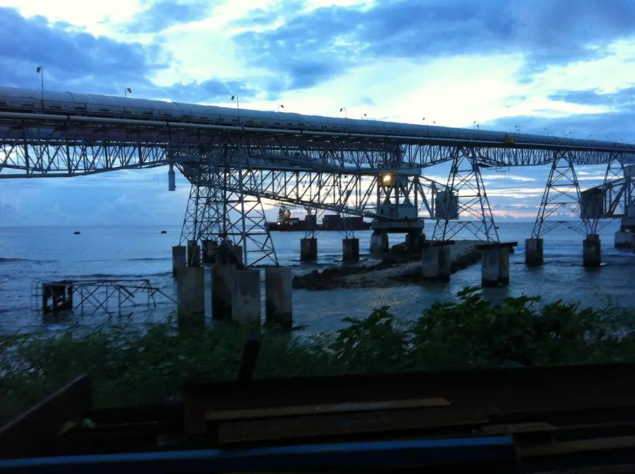
- Site of the massive phosphate cantilever loaders
- Highest population density in the adjacent housing
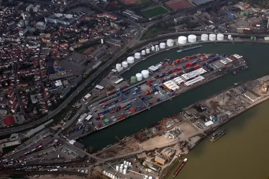
- Coastal road links the port to northern districts
- The coral reef flat is notably narrow here
- Tidal range averages between 1 and 2 meters
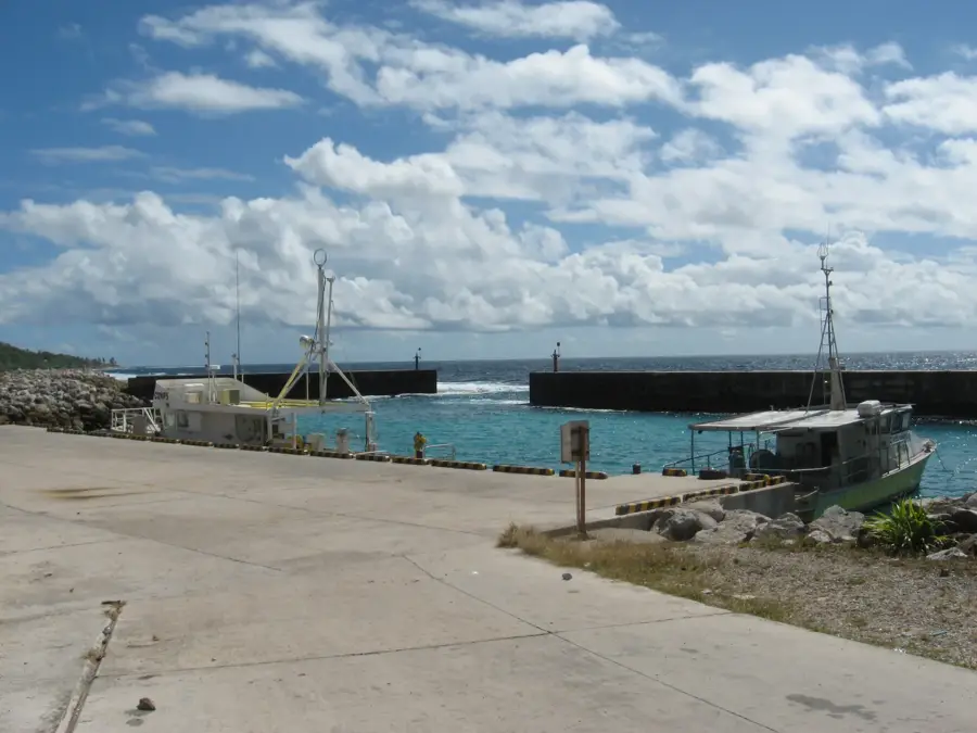
- Major mooring point for international cargo ships
Explore nearby
Notable places around
Route planner — Car & Motorhome
Where do you start? We build the route here, with stops and country notes along the way.
© OpenStreetMap contributors · OpenRouteService
Sights in the town Denigomodu Coast (10)
A.O.G
Assemblies of God church building in Denigomodu.
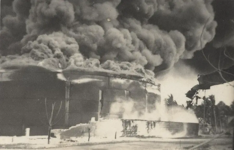
Broken Down Cantilever Cranes
Collapsed, unsafe phosphate loading cranes along the coast.
Orro Congregational Church
Congregational church in Orro, a simple structure.
Buada Chapel
Small chapel near Buada Lagoon, used for local worship.
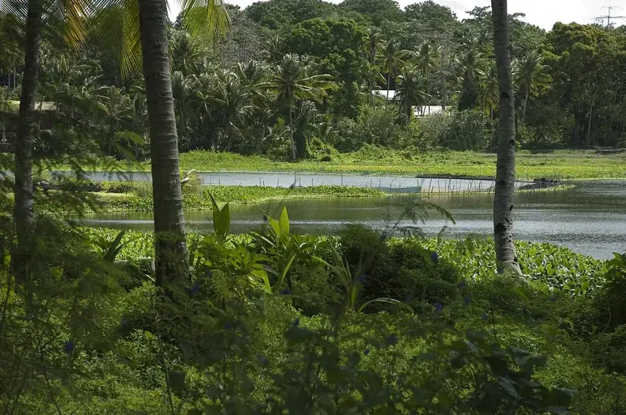
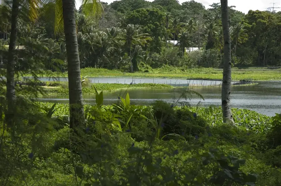
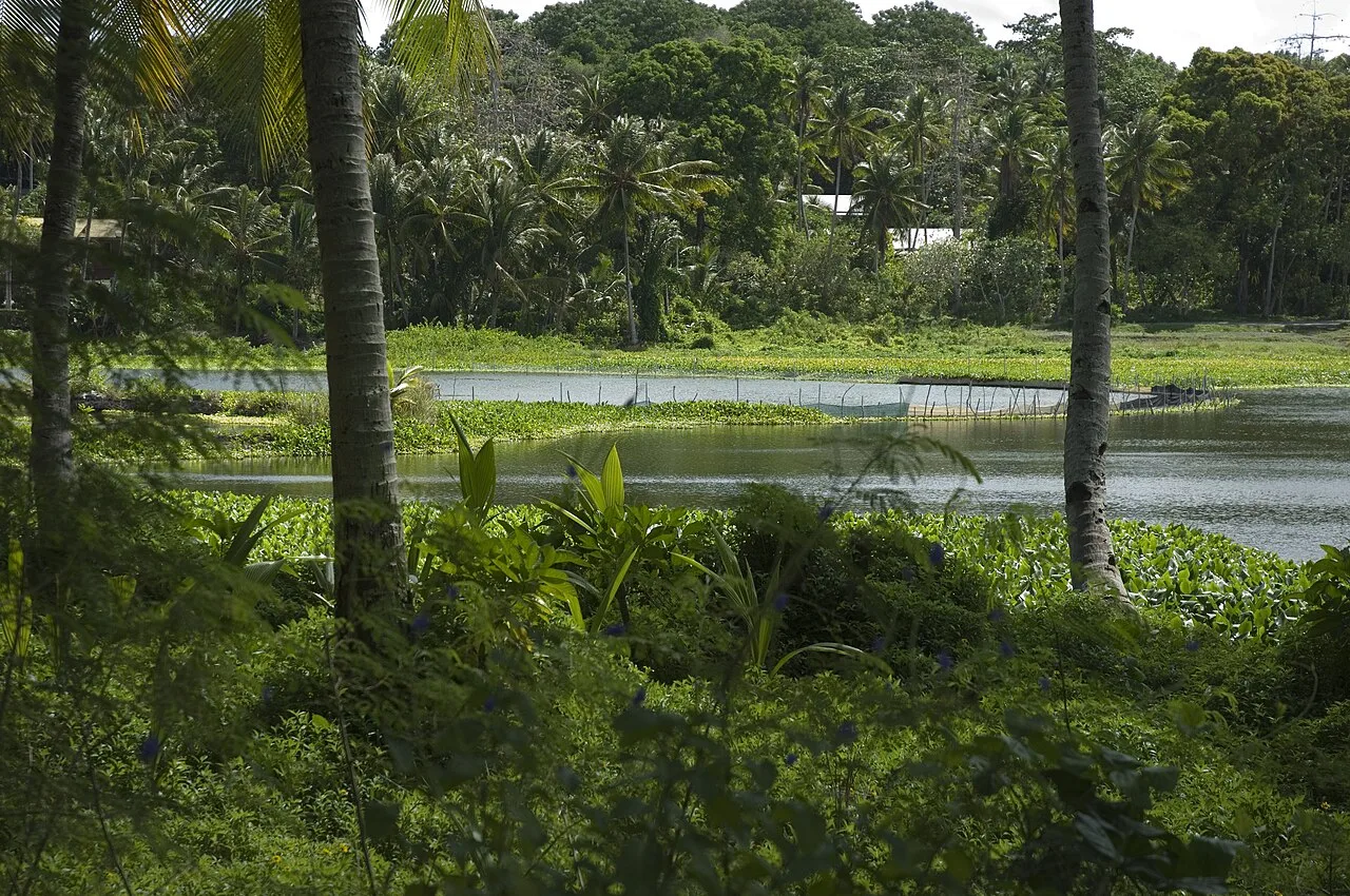
Lagoon viewpoint
Lookout over the shallow Buada Lagoon, fringed by palms and pandanus.
Naoero Museum🏛 museum
National museum of Nauru, showcasing the island's history, culture and nature.
Sights nearby
Frequently asked questions
Is Denigomodu coast good for excursions?
Is there a beach there?
Is the water safe for bathing?
Are there shady spots?
Can you explore the area alone?
Denigomodu Coast: where is it located?
Denigomodu Coast: what is there to see?
Denigomodu Coast: when is the best time to visit?
Denigomodu Coast: why is it worth visiting?

Nearby cities


History & landmarks


Nature
More places