Plizio Visual Lab
Northern Uplands
Weather…
Water temperature…
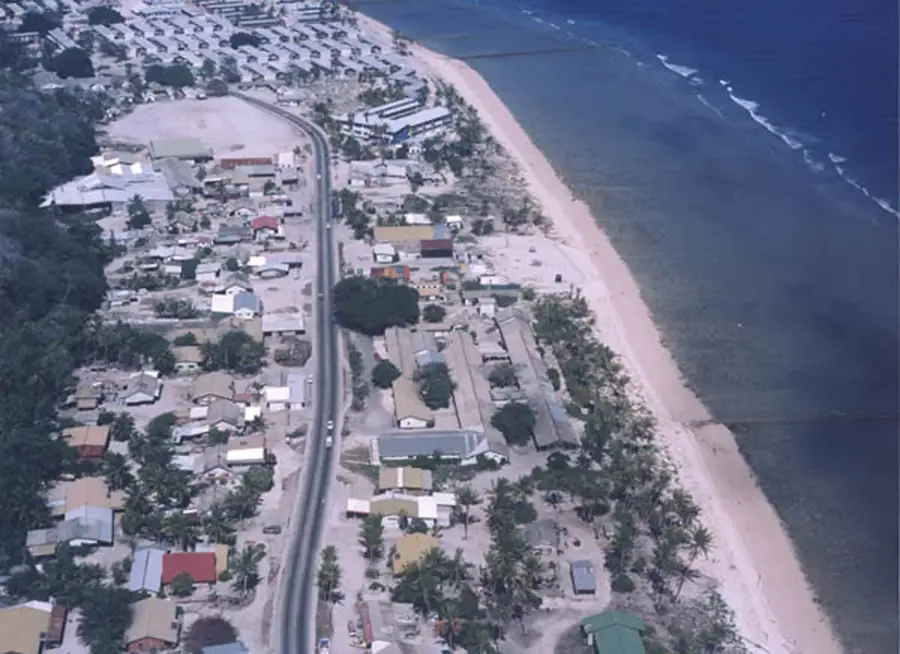
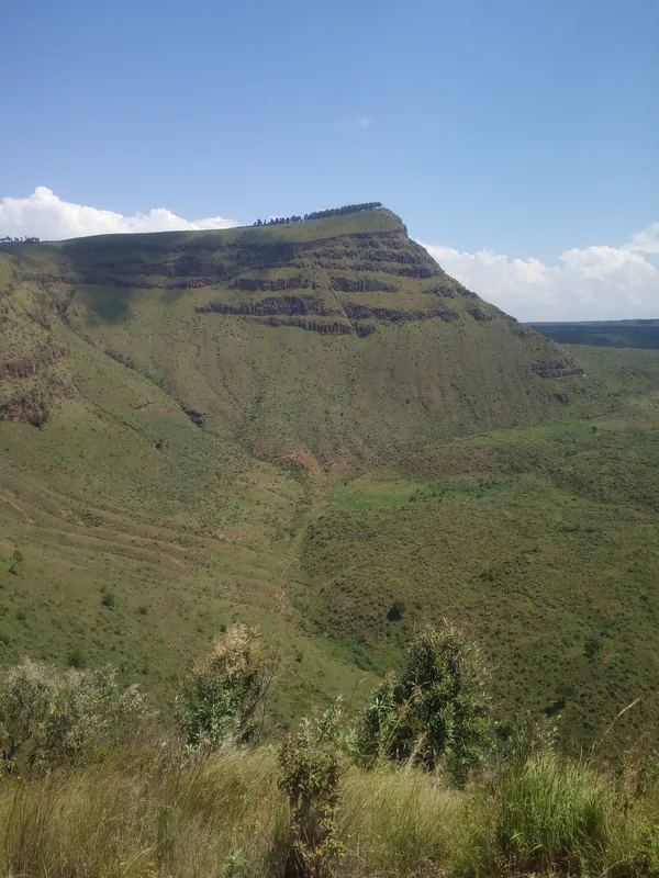
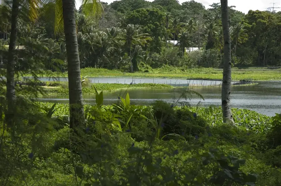
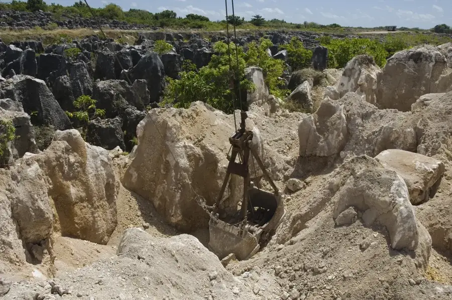
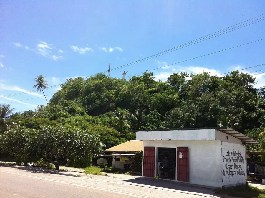
The Northern Uplands of Nauru, primarily spanning the districts of Ewa and Anetan, form a distinctive part of the island's interior coral plateau. This elevated region is characterized by a dramatic and somewhat surreal karst landscape, a direct result of extensive phosphate mining that took place throughout the 20th century. What remains today is a maze of towering limestone pinnacles, some several meters high, which create a moon-like terrain once the fertile topsoil was removed. The vegetation in the uplands is sparse, consisting of hardy, salt-tolerant shrubs and occasional trees that cling to the rocky crevices. Despite the environmental transformation, the area provides a profound geological record of Nauru as an uplifted coral atoll. The higher vantage points within the uplands offer panoramic views of the northern coastline and the Pacific Ocean beyond, serving as a poignant reminder of the island's isolation and its complex relationship with its natural resources.
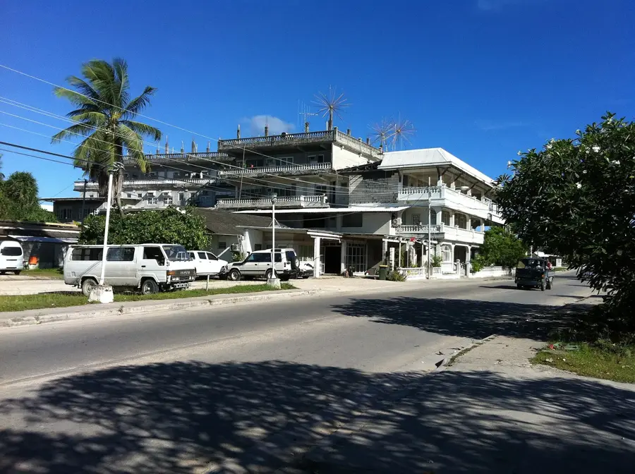
- Location: Nauru
- Top sights: Church of Christ the King · Buada Chapel · Anabar Beach
- Nearby: Yaren (4 km)
Best time to visit & climate
The most pleasant time to visit is May, Jun, Sep.
| Jan | Feb | Mar | Apr | May | Jun | Jul | Aug | Sep | Oct | Nov | Dec | |
|---|---|---|---|---|---|---|---|---|---|---|---|---|
| Avg °C | 28 | 28 | 28 | 28 | 28 | 28 | 28 | 28 | 28 | 28 | 28 | 28 |
| Rain mm | 194 | 192 | 193 | 161 | 116 | 107 | 123 | 118 | 108 | 118 | 133 | 202 |
📋 Practical info
Geography
Facts
- Average elevation of 40 to 50 meters
- Defined by large-scale open-cast mining pits
- Regulates water runoff into Ewa and Anetan districts
- Composed of deeply weathered karstic limestone
- Virtually no human settlement in this upland area
- Pioneer plant species are slowly recolonizing the pits
Explore nearby
Notable places around
Route planner — Car & Motorhome
Where do you start? We build the route here, with stops and country notes along the way.
© OpenStreetMap contributors · OpenRouteService
Sights in the town Northern Uplands (7)
Command Ridge
Mountain in Nauru, the highest point of the island.
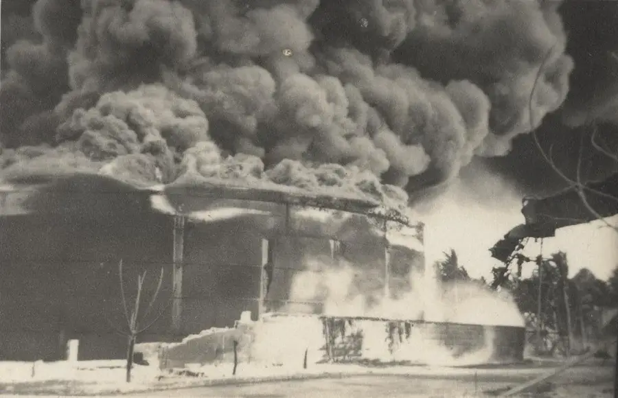
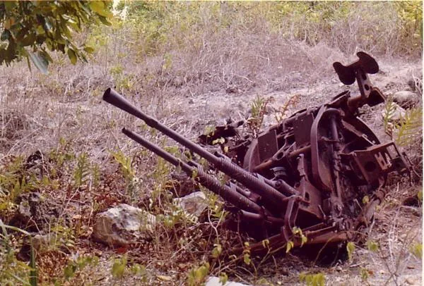
Japanese WWII Gun
A Japanese gun from World War II in the northern uplands.
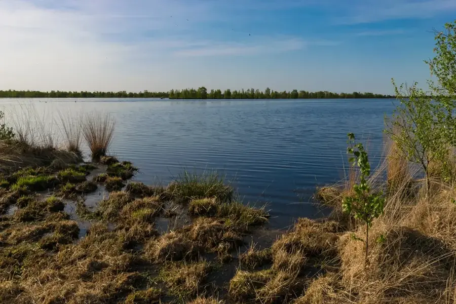
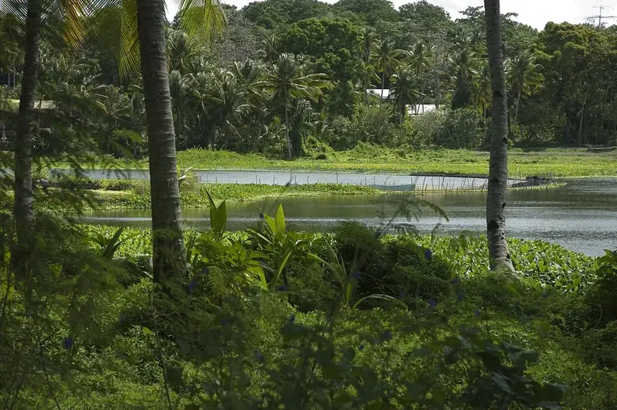
Lagoon viewpoint
Viewpoint over the lagoon in Nauru, a quiet spot.
Rock Pinnacles
Rock pinnacles in the landscape of Nauru, geological formations.
Sights nearby
Frequently asked questions
What views does the northern upland offer?
How is the access to the upland?
Is it safe to hike there?
Are there tourist centers there?
When should I be there?
Northern Uplands: where is it located?
Northern Uplands: what is there to see?
Northern Uplands: when is the best time to visit?
Northern Uplands: why is it worth visiting?

Nearby cities


History & landmarks


Nature


More places