Plizio Visual Lab
Command Ridge
Weather…
Water temperature…
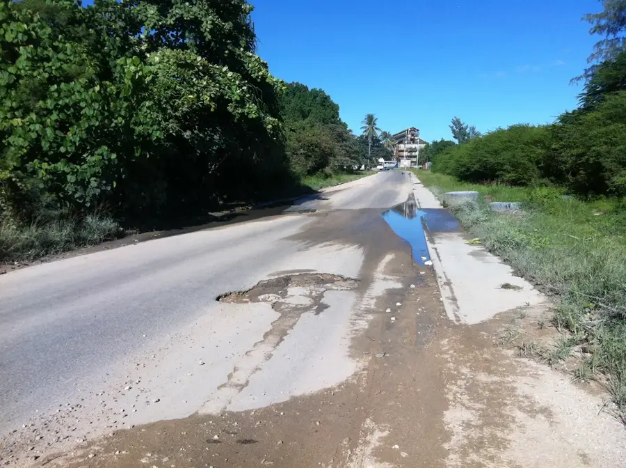
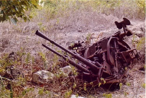
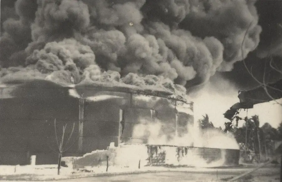
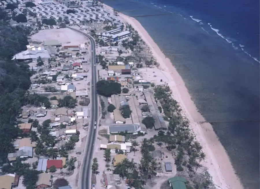
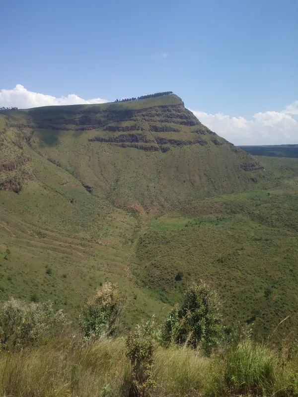
Command Ridge is the highest elevation on the island of Nauru, rising to 65 meters above sea level. Its strategic importance was cemented during World War II when Japanese occupation forces established it as their primary observation post and command center to monitor the surrounding Pacific waters. Today, the ridge serves as a poignant reminder of that era, featuring well-preserved remnants of Japanese weaponry, including two large 12.7cm anti-aircraft guns that still stand guard over the island. Visitors can also explore the remains of bunkers and communication centers built into the coral rock. From this vantage point, one can see the stark contrast of Nauru's landscape: the coastal greenery gives way to the desolate interior plateau, where decades of phosphate mining have left behind a surreal forest of limestone pinnacles. The site provides a unique perspective on both the island's wartime suffering and its subsequent economic transformation through mining.
- Location: Nauru
- Top sights: Command Ridge · Japanese WWII Gun · Buada Chapel
- Nearby: Anetan (4 km)
Best time to visit & climate
The most pleasant time to visit is May, Jun, Sep.
| Jan | Feb | Mar | Apr | May | Jun | Jul | Aug | Sep | Oct | Nov | Dec | |
|---|---|---|---|---|---|---|---|---|---|---|---|---|
| Avg °C | 28 | 28 | 28 | 28 | 28 | 28 | 28 | 28 | 28 | 28 | 28 | 28 |
| Rain mm | 194 | 192 | 193 | 161 | 116 | 107 | 123 | 118 | 108 | 118 | 133 | 202 |
📋 Practical info
Geography
Facts
- Highest point at 71 meters
- WWII Japanese military post
- Strategic observation viewpoint
- Contains rusted anti-aircraft guns
- Located in the Aiwo District
- Panoramic views of the island
Explore nearby
Notable places around
Route planner — Car & Motorhome
Where do you start? We build the route here, with stops and country notes along the way.
© OpenStreetMap contributors · OpenRouteService
Sights in the town Command Ridge (10)
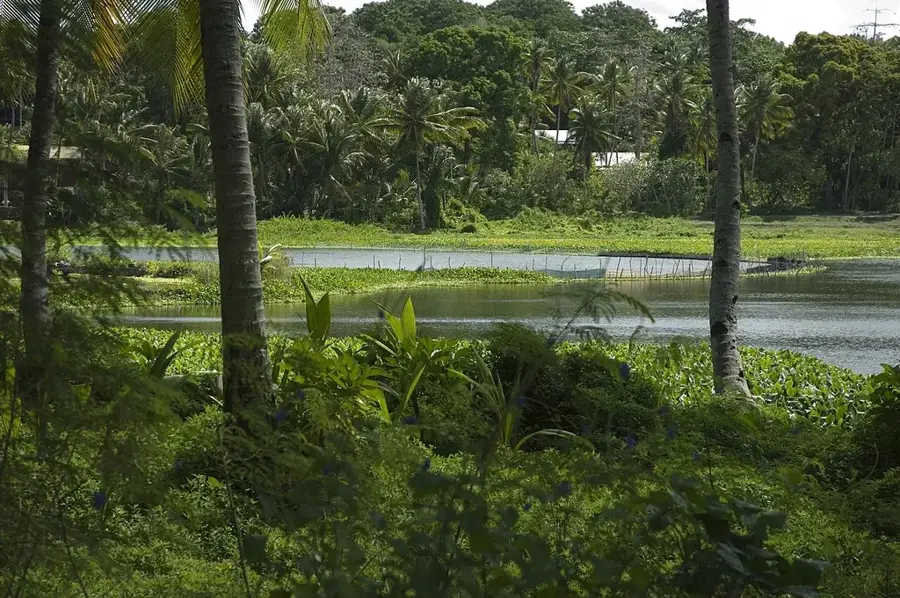
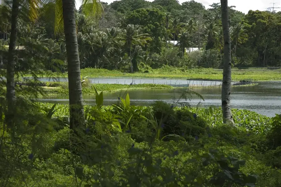
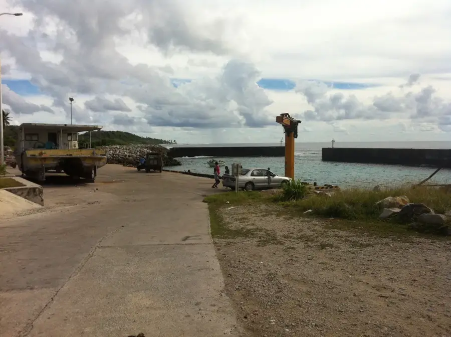
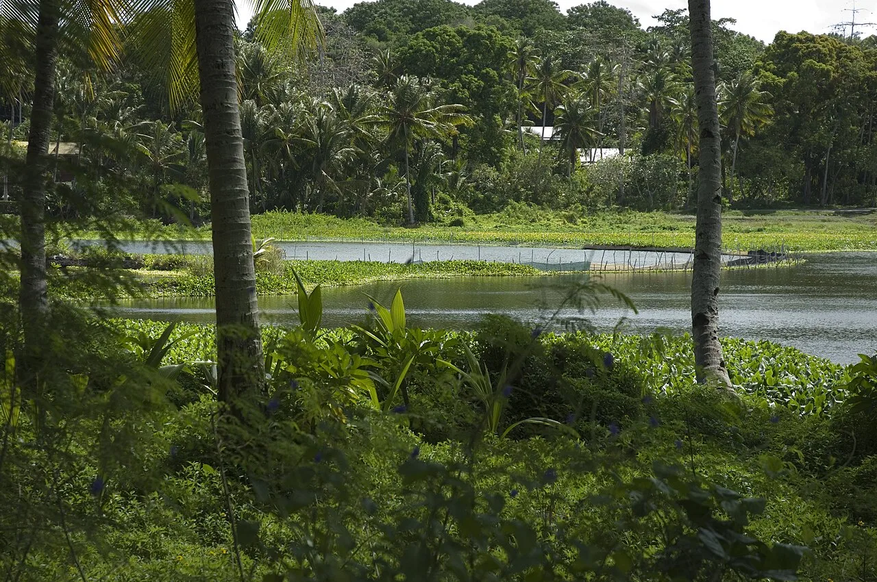
Lagoon viewpoint
A viewpoint by the lagoon, overlooking the calm inland waters.
Monument to the Nauruans Exiled in WWII
A monument commemorating the Nauruans exiled during World War II.
A.O.G
A Christian church building, used for services and community meetings.
Cantilever Cranes
Cantilever cranes, once used for phosphate loading, now industrial monuments.
Orro Congregational Church
A Congregational church in Orro, center for the Protestant community.
Naoero Museum🏛 museum
The national museum of Nauru, displaying exhibits on the island's history and culture.
Sights nearby
Frequently asked questions
Do I need a guide to hike Command Ridge?
What can be seen at the top?
How long does the hike take?
Is the trail suitable for children?
Do I need sturdy shoes?
Command Ridge: where is it located?
Command Ridge: what is there to see?
Command Ridge: when is the best time to visit?
Command Ridge: why is it worth visiting?

Nearby cities


History & landmarks


Nature

More places