Plizio Visual Lab
Meneng
ℹ️Practical info — Meneng
▾
🌤 Weather — 5 days
📍 Nearby
Sights nearby
💡 Tips
- Meneng is home to the national stadium; check for local football matches or powerlifting events which are very popular.
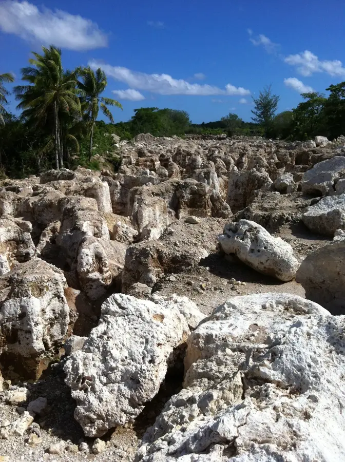
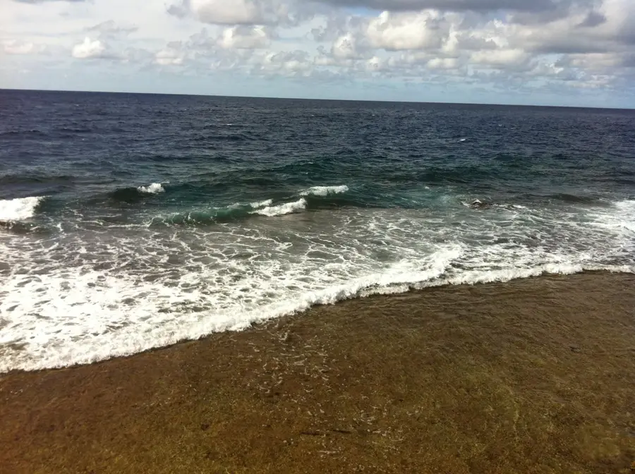
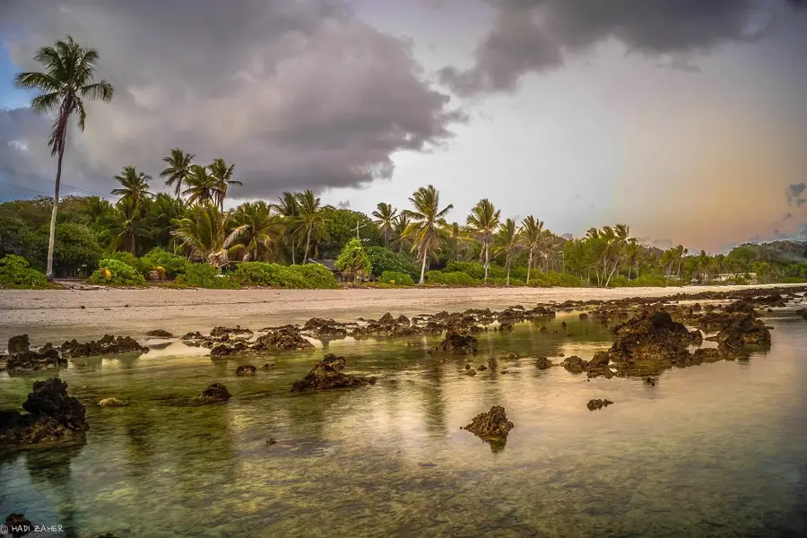
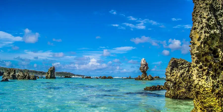
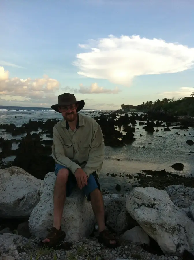
- The coastline here is rocky and dramatic; great for photos of the waves breaking, but use caution near the edge.
- View the Meneng Hotel complex to get a sense of the island's historical infrastructure.
- Many government offices are located here; ensure modest dress if you need to visit any official buildings.
- The district is very close to Anibare Bay, the island's best beach area, making it a convenient base.
🍽 Food
Often prepared by local families on weekends over open fires; ask around for communal BBQ spots.
Small food vans near the government offices offer quick and tasty rice and noodle dishes.
Look for fruit stands selling sweet, locally grown papayas and small island bananas.
🛍 Shopping · 🧘 Quiet spots
Occasionally, local artisans near the stadium area sell woven baskets and pandanus mats.
Small family-run shops providing chilled drinks and essential imported snacks.
Find a safe spot on the rocky edge to watch the waves crash against the reef in peace.
When no events are scheduled, the area around the stadium is a quiet place for a casual walk.
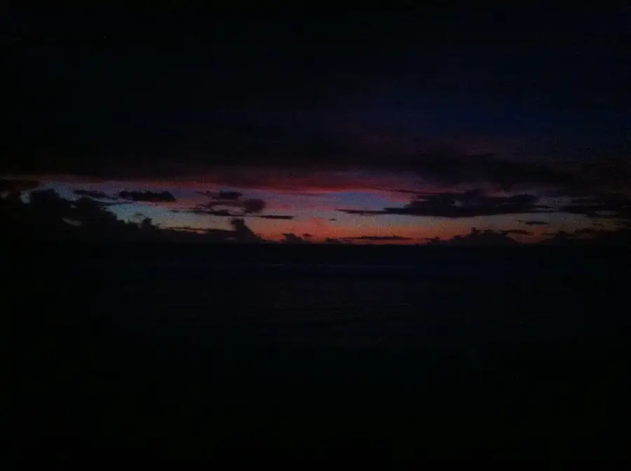
Water temperature…
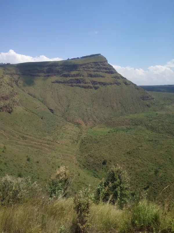
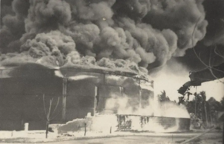
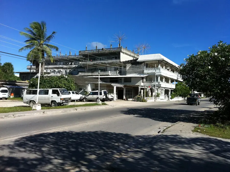
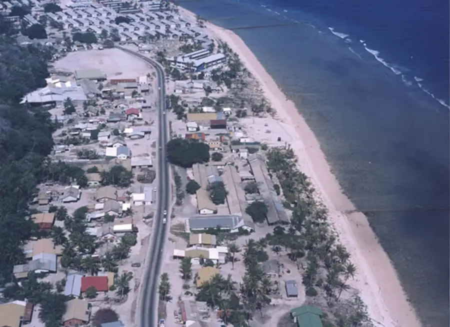
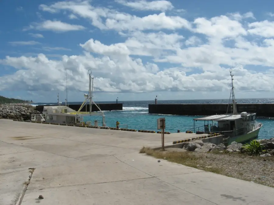
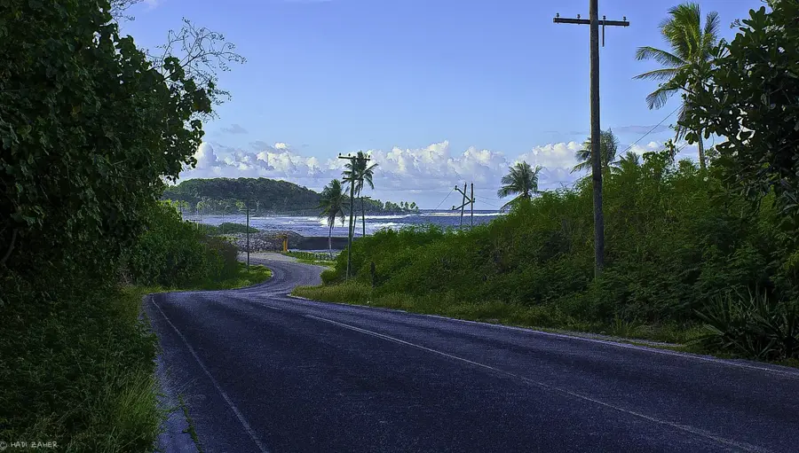
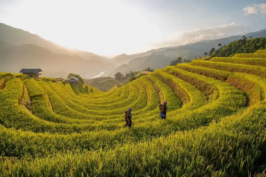
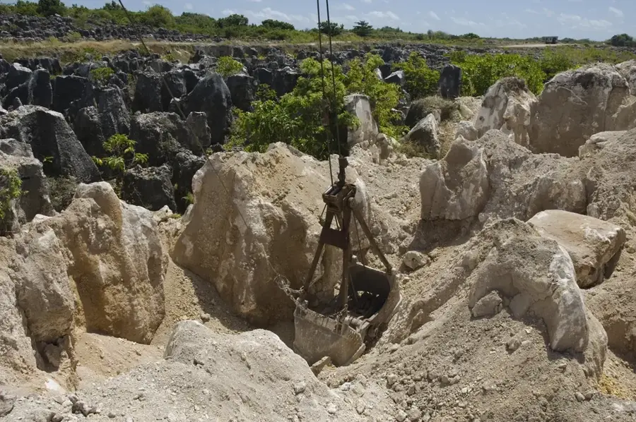
Meneng is an essential administrative district located in the southeastern part of Nauru, serving as a hub for the island nation's political and social infrastructure. The district is home to significant government landmarks, most notably the State House, which is the official residence of the President of Nauru. Another key feature is the Meneng Stadium, the country's primary sporting venue used for national celebrations and athletic events. Geographically, Meneng is characterized by its rugged coral coastline, featuring striking limestone pinnacles that emerge from the shore. These jagged formations are partly a result of the extensive phosphate mining that has reshaped much of Nauru’s interior landscape. The district was also the site of the former Meneng Hotel, once the island's most prominent accommodation offering oceanfront views. While the scars of the mining industry are visible nearby, the coastal fringe retains a wild and natural character. Meneng encapsulates the complex narrative of Nauru, from its period of resource extraction to its current efforts toward environmental sustainability.
- Location: Nauru
- Top sights: Japanese WWII guns and bunker · Gun · Catholic Church
- Nearby: Baitsi (4 km)
- Population: ~747
Best time to visit & climate
The most pleasant time to visit is May, Jun, Sep.
| Jan | Feb | Mar | Apr | May | Jun | Jul | Aug | Sep | Oct | Nov | Dec | |
|---|---|---|---|---|---|---|---|---|---|---|---|---|
| Avg °C | 28 | 28 | 28 | 28 | 28 | 28 | 28 | 28 | 28 | 28 | 28 | 28 |
| Rain mm | 194 | 192 | 193 | 161 | 116 | 107 | 123 | 118 | 108 | 118 | 133 | 202 |
Geography
Facts
- Home to the Meneng Hotel overlooking the ocean
- Site of the former State House (Presidential residence)
- Land area of approximately 3.1 square kilometers
- Contains the Nauru Secondary School
- Location of the Australian Regional Processing Centre
- Situated south of the Anibare district
Explore nearby
Notable places around
Route planner — Car & Motorhome
Where do you start? We build the route here, with stops and country notes along the way.
© OpenStreetMap contributors · OpenRouteService
Sights in the town Meneng (9)
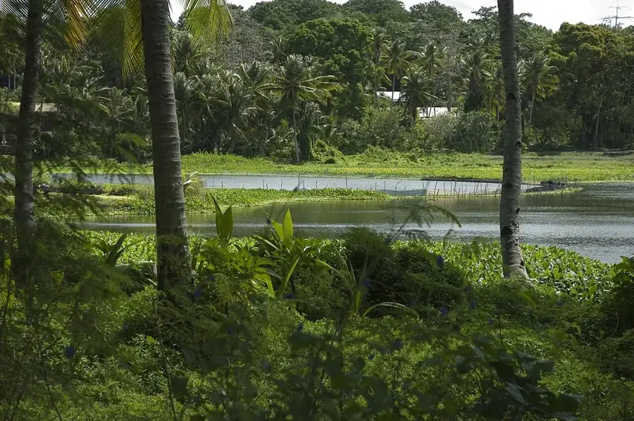
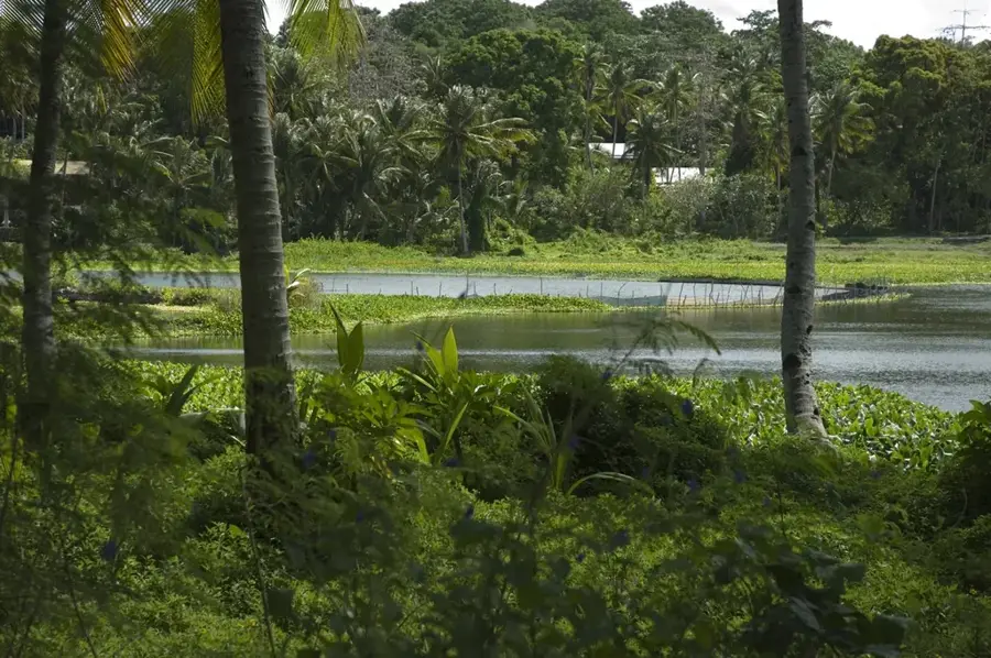
Lagoon viewpoint
Viewpoint over the lagoon in Meneng, a quiet spot by the water.
Buada Chapel
Chapel in Meneng, used by the Christian community.
Anibare Bay
Bay on the east coast of Nauru, known for its sandy beach and waves.
Japanese WWII Prison
Former Japanese prison from World War II in Meneng.
Naoero Museum🏛 museum
Museum in Nauru, showcasing the history, culture and nature of the island nation.
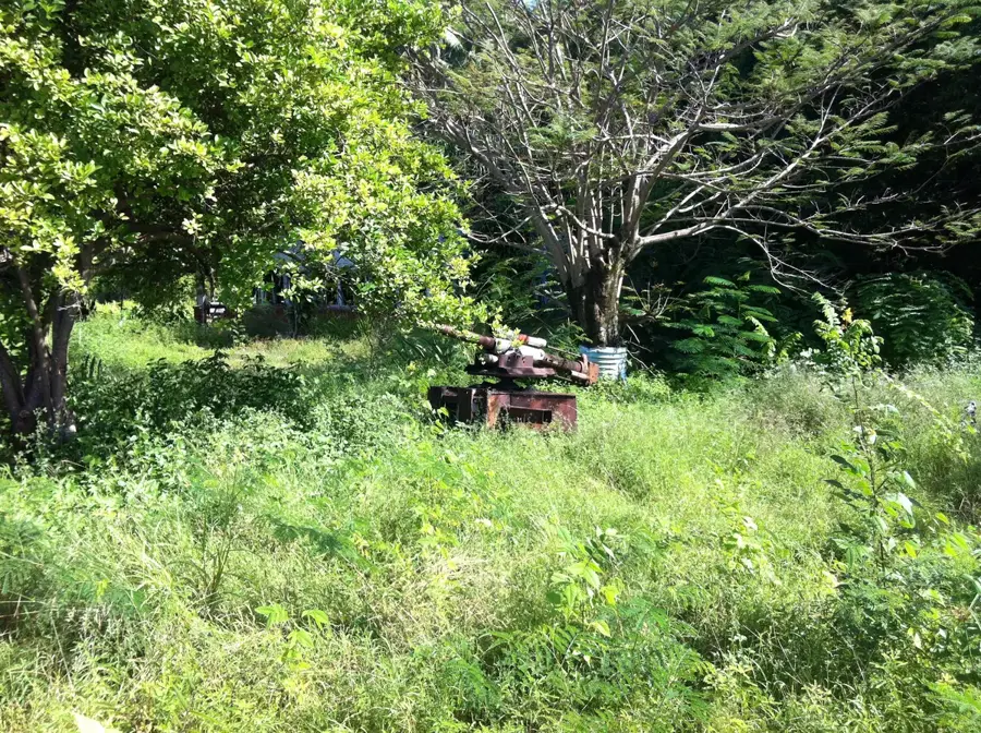
Japanese WWII Gun
Japanese cannon from World War II in Meneng, a relic of the occupation.
Frequently asked questions
What can one do in Meneng?
What is the beach like there?
Is there dining in Meneng?
Is the place suitable for hikers?
Is there parking in Meneng?
Meneng: where is it located?
Meneng: what is there to see?
Meneng: when is the best time to visit?
Meneng: why is it worth visiting?

Nearby cities


History & landmarks

Nature

More places