Plizio Visual Lab
Phosphate Pinnacles
Weather…
Water temperature…
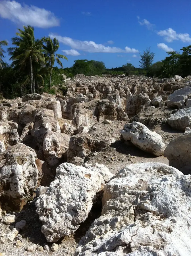
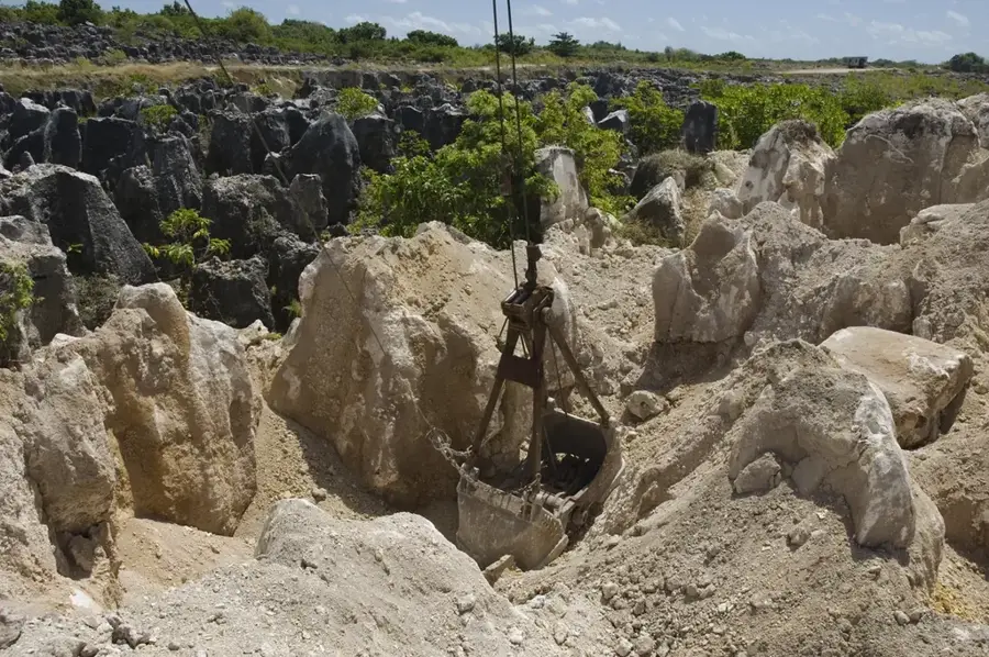
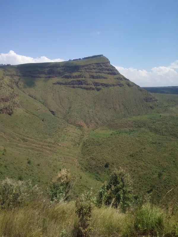
The Phosphate Pinnacles are a surreal and haunting geological feature that covers much of Nauru's interior plateau, an area known as 'Topside.' These jagged limestone columns, some rising as high as 10 meters, are the ancient coral foundations of the island. For millennia, they were buried under thick layers of high-grade phosphate, formed from accumulated seabird droppings (guano). During the 20th-century mining boom, the phosphate was stripped away from between the rocks, leaving behind this skeletal landscape of sharp, weathered pillars. The result is a vast, grey labyrinth that stands in stark contrast to the lush coastal fringe of the island. While the interior was once covered in a dense tropical forest, the mining process left it largely barren, creating a 'moonscape' that has become a powerful symbol of environmental degradation and the cost of sudden wealth. Today, the pinnacles serve as a unique, if melancholic, tourist attraction, where visitors can walk through the remnants of a lost ecosystem and witness the raw geological core of this tiny Pacific nation.
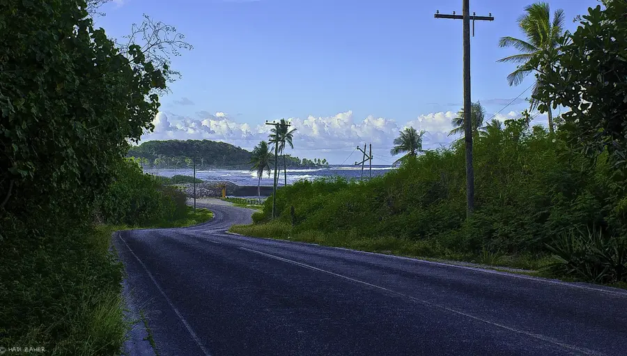
- Location: Nauru
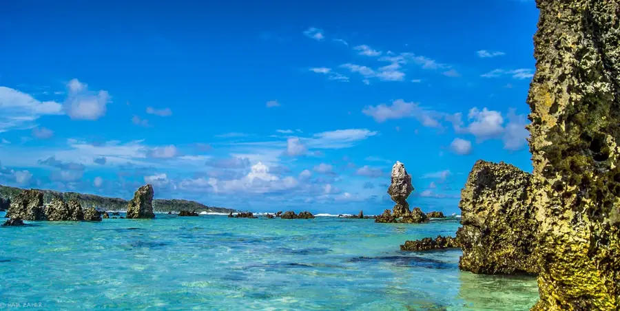
- Top sights: Buada Chapel · Lagoon viewpoint · Japanese WWII guns and bunker
Best time to visit & climate
The most pleasant time to visit is May, Jun, Sep.
| Jan | Feb | Mar | Apr | May | Jun | Jul | Aug | Sep | Oct | Nov | Dec | |
|---|---|---|---|---|---|---|---|---|---|---|---|---|
| Avg °C | 28 | 28 | 28 | 28 | 28 | 28 | 28 | 28 | 28 | 28 | 28 | 28 |
| Rain mm | 194 | 192 | 193 | 161 | 116 | 107 | 123 | 118 | 108 | 118 | 133 | 202 |
📋 Practical info
Geography
Facts
- Cover approximately 16 square kilometers of the island
- Resulted from the exposure of the underlying karst
- Highest density found on the central plateau (Topside)
- Severely hinder any form of land redevelopment
- Thermal absorption contributes to local heat rise
- The defining geological legacy of the mining era
Explore nearby
Notable places around
Route planner — Car & Motorhome
Where do you start? We build the route here, with stops and country notes along the way.
© OpenStreetMap contributors · OpenRouteService
Sights in the town Phosphate Pinnacles (10)
Japanese WWII Prison
Former Japanese prison from WWII, evidence of the occupation history.
Command Ridge
Mountain on Nauru, the highest point of the island with historical relics.
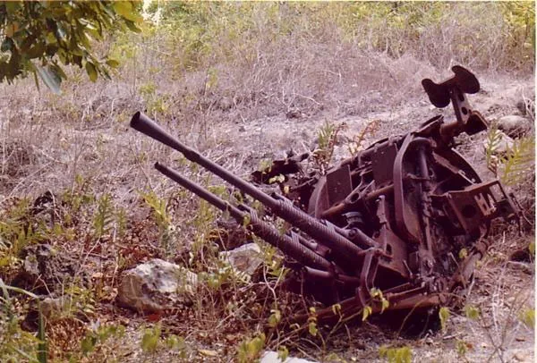
Japanese WWII Gun
Japanese WWII gun, positioned on the coast.
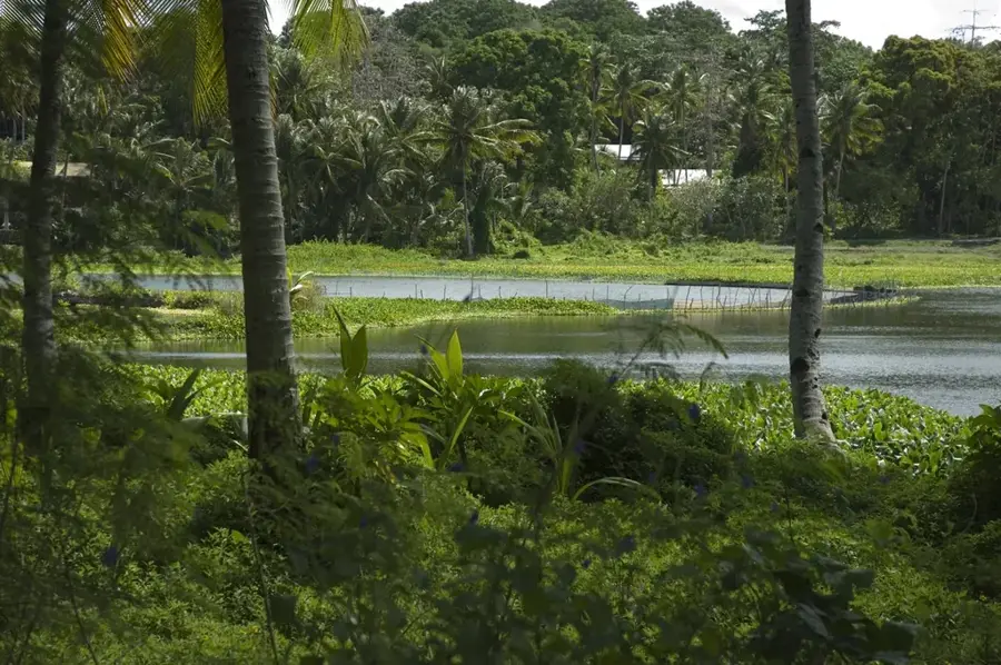
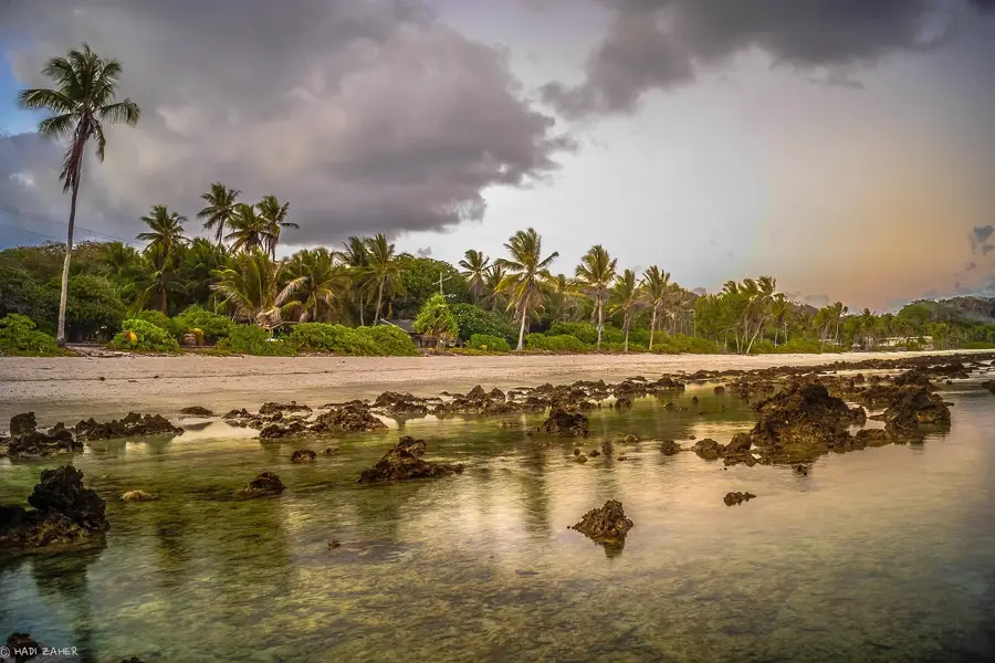
Anibare Bay
Bay on the east coast of Nauru, known for its sandy beach and waves.
Gun
Viewpoint with a Japanese gun, offering a wide view over the coastline.
Monument to the Nauruans Exiled in WWII
Monument to the Nauruans exiled in WWII, commemorating their fate.
Church of Christ the King
Church in Ewa, Nauru, used by the Christian congregation.
Sights nearby
Frequently asked questions
Why are the phosphate pinnacles important?
Can you climb the pinnacles?
Are there guided tours?
How to get there?
Is it suitable for children?
Phosphate Pinnacles: where is it located?
Phosphate Pinnacles: what is there to see?
Phosphate Pinnacles: when is the best time to visit?
Phosphate Pinnacles: why is it worth visiting?

Nearby cities


History & landmarks


Nature


More places