Plizio Visual Lab
Anabar
ℹ️Practical info — Anabar
▾
🌤 Weather — 5 days
📍 Nearby
Sights nearby
💡 Tips
- Rent a scooter to safely explore the rugged coastline and quiet local roads.
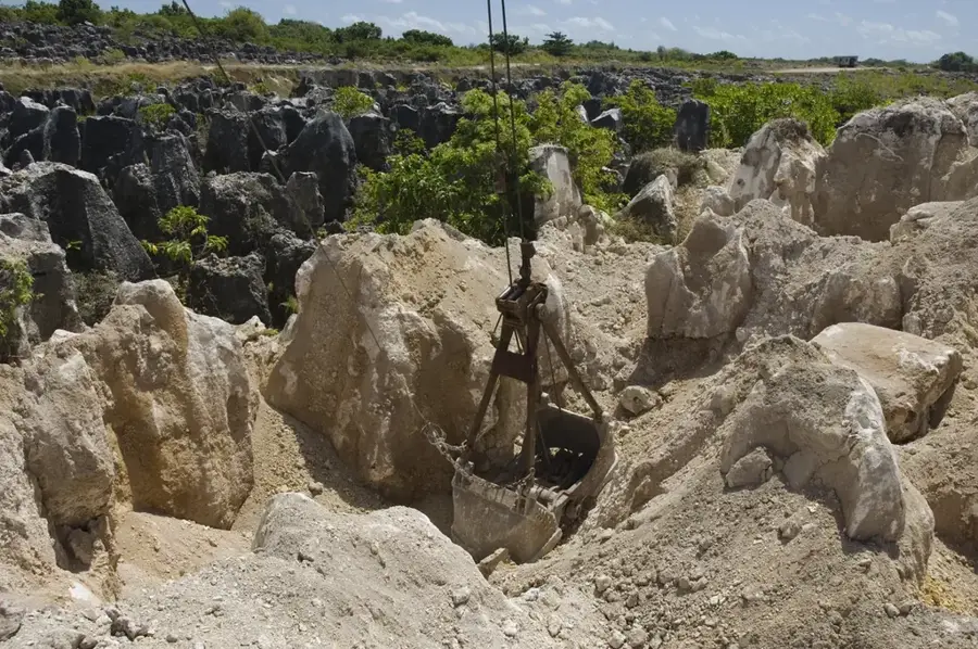
- Be careful on the rocky shores; wear sturdy shoes to protect against the sharp limestone pinnacles left from phosphate mining.
- Bring your own drinking water, as local shops are sparse in this area.
- Carry Australian dollars (AUD) in cash; ATMs are very rare outside the main settlements.
🍽 Food
Often found freshly caught and grilled at small local roadside stalls.
A traditional local dish; ask around the local communities for a taste.
A classic daily staple made from provisions found in small neighborhood stores.
🛍 Shopping · 🧘 Quiet spots
Buy handmade souvenirs directly from local artisans in the villages.
Small grocery shops along the coastal road offer essential snacks and drinks.
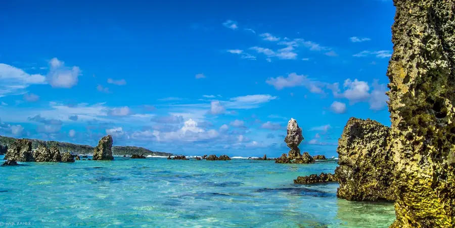
Provides a dramatic and peaceful view, especially great during sunset.
Walk towards the stark, mined-out interior for a unique landscape experience.
Water temperature…
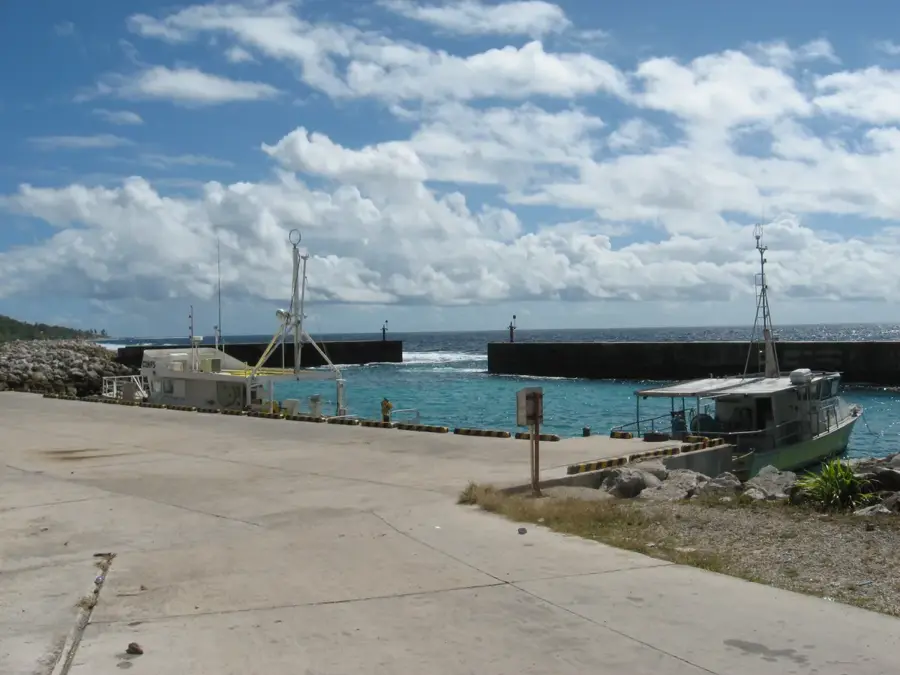
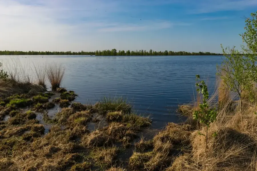
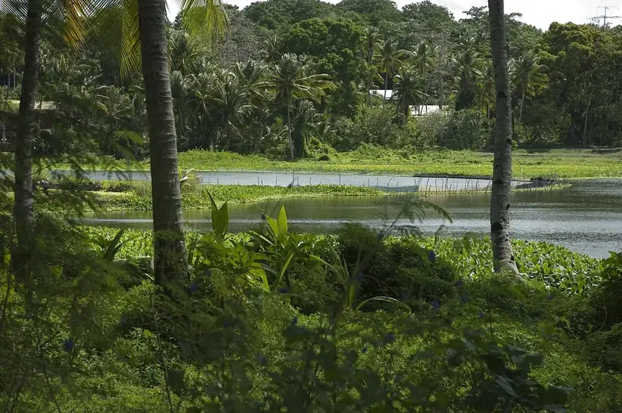
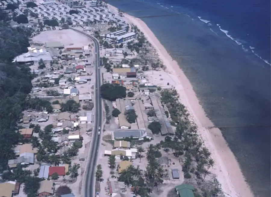
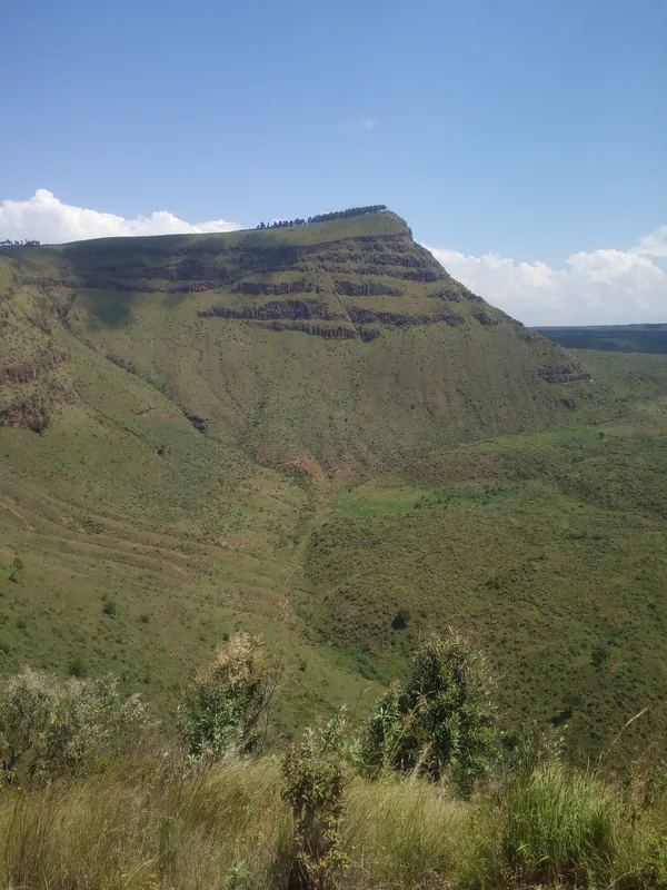
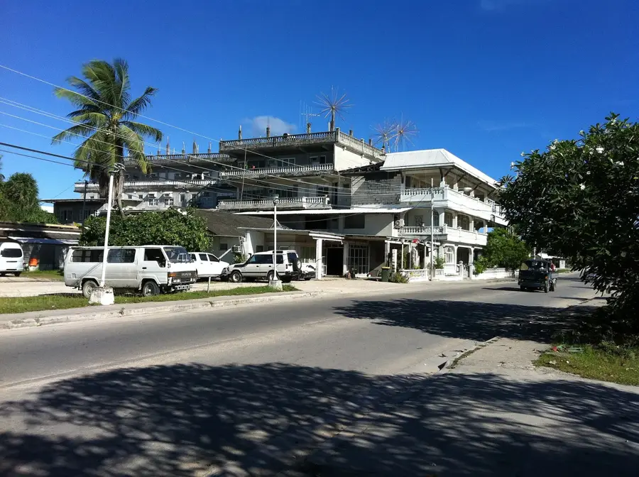
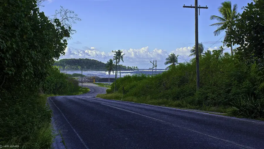
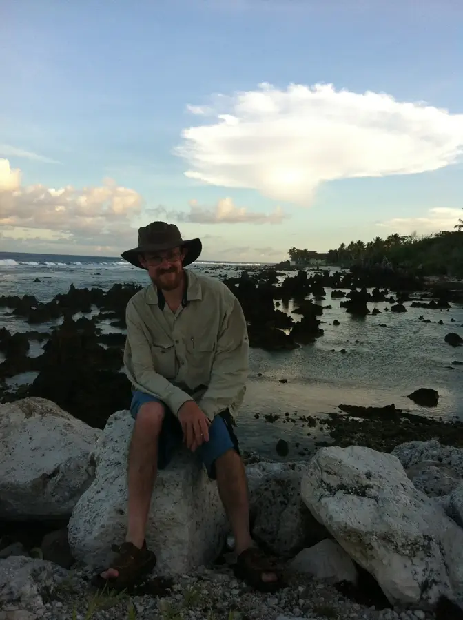
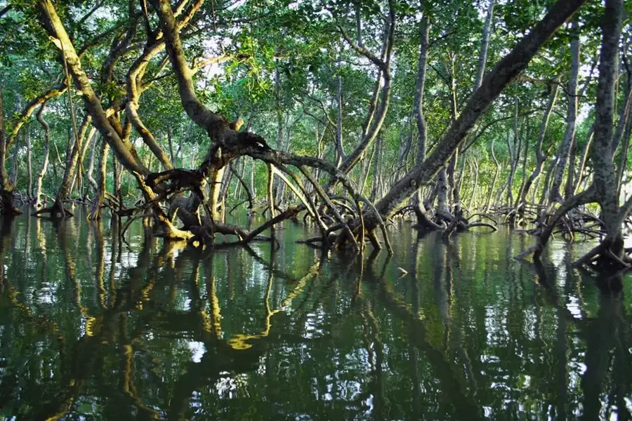
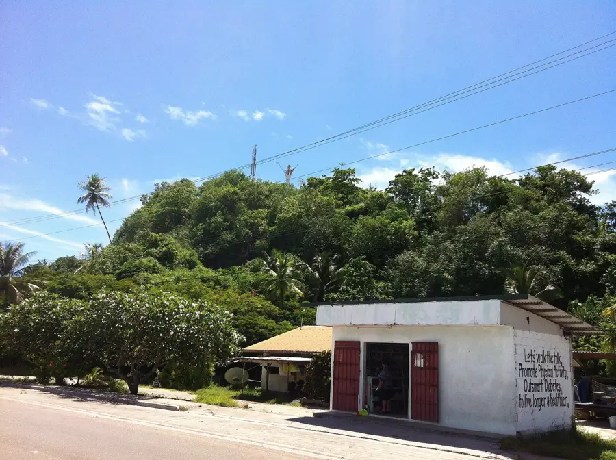
The Anabar district in northeastern Nauru is one of the most secluded and sparsely populated parts of the island nation. Its geography is defined by a rugged, rocky coastline where the Pacific swells crash directly into steep limestone cliffs, creating a dramatic natural spectacle. Unlike the more developed southwestern districts, Anabar gives wide, unobstructed views of the ocean and a sense of tranquility that is rare even on this small island. Inland, the district features the striking limestone pinnacles left behind by decades of phosphate mining, some of which are now being reclaimed by tropical scrub. Anabar serves as its own constituency and maintains a quiet, community-focused lifestyle. For visitors, it provides an authentic look at the island's natural coastal beauty, offering opportunities for shore-based whale watching during migration seasons and exploring the unique coral uplift formations that make Nauru's geology so distinctive.
- Location: Nauru
- Top sights: Anabar Beach · Rock Pinnacles · Church of Christ the King
- Nearby: Buada (4 km)
- Population: ~178
Best time to visit & climate
The most pleasant time to visit is May, Jun, Sep.
| Jan | Feb | Mar | Apr | May | Jun | Jul | Aug | Sep | Oct | Nov | Dec | |
|---|---|---|---|---|---|---|---|---|---|---|---|---|
| Avg °C | 28 | 28 | 28 | 28 | 28 | 28 | 28 | 28 | 28 | 28 | 28 | 28 |
| Rain mm | 194 | 192 | 193 | 161 | 116 | 107 | 123 | 118 | 108 | 118 | 133 | 202 |
Geography
Facts
- Situated on the northeastern coast of the island
- Land area of approximately 1.5 square kilometers
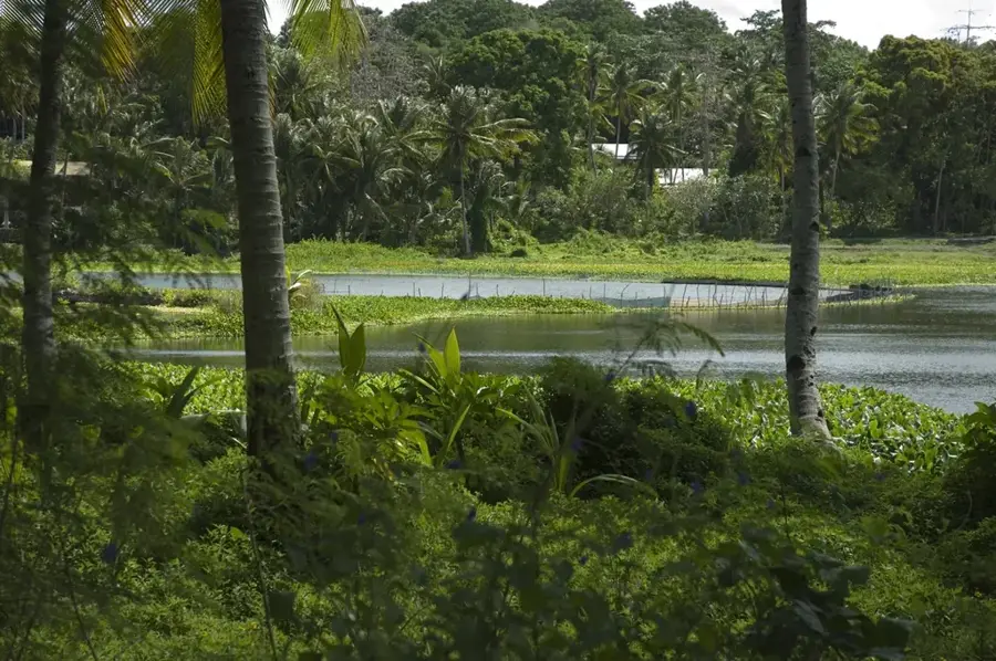
- Home to the Anabar Pond (local fish pond)
- Part of an electoral constituency with Ijuw and Anibare
- Relatively forested compared to central mining fields
- The island's main ring road runs along its coast
Explore nearby
Notable places around
Route planner — Car & Motorhome
Where do you start? We build the route here, with stops and country notes along the way.
© OpenStreetMap contributors · OpenRouteService
Sights in the town Anabar (4)
Anibare Bay
Bay on Nauru's east coast, known for its waves.
Frequently asked questions
What is typical for Anabar?
Is the place good for tourists?
Are there attractions here?
How are the roads in Anabar?
Is the beach suitable for swimming?
Anabar: where is it located?
Anabar: what is there to see?
Anabar: when is the best time to visit?
Anabar: why is it worth visiting?

Nearby cities


History & landmarks


Nature


More places