Plizio Visual Lab
Central Plateau Ferns

Weather…
Water temperature…
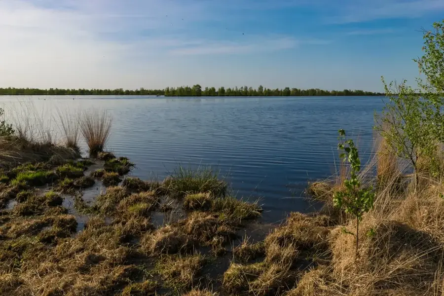
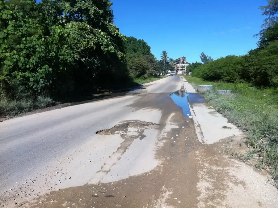
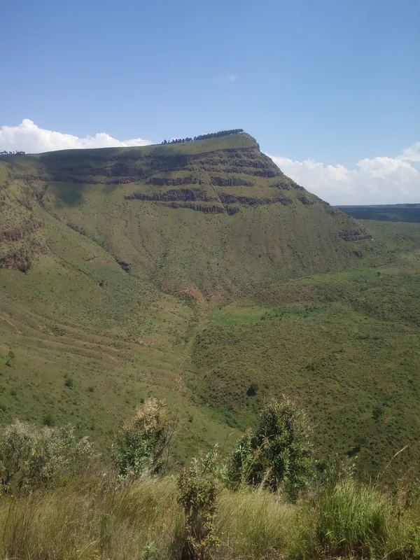
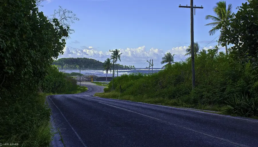
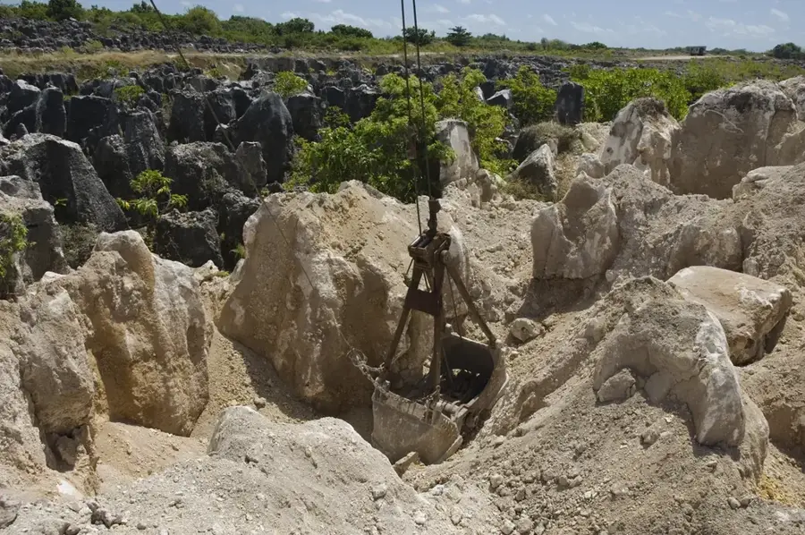
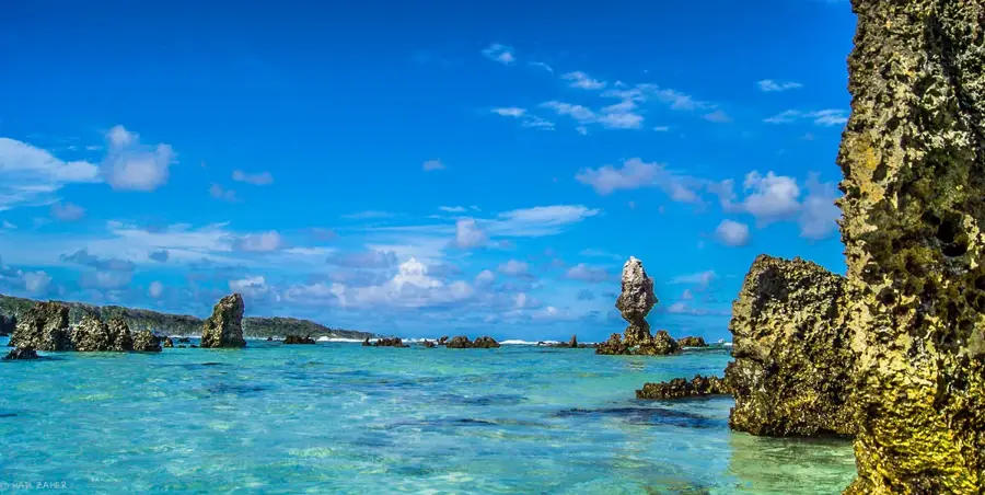
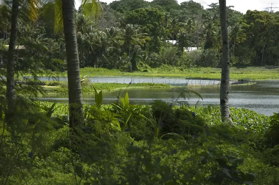
The "Topside" plateau of Nauru, which was heavily altered by intensive phosphate mining during the 20th century, is currently witnessing a remarkable ecological transformation. In the shadows of the jagged limestone pinnacles, remnants of the prehistoric coral base, hardy pioneer species have begun to reclaim the landscape. Most prominent among these are the Nephrolepis ferns, which have adapted to the nutrient-poor, alkaline environment left behind by mining operations. These ferns play a critical role in soil formation by trapping organic debris and moisture within their root systems, eventually allowing more complex shrubs and trees to take hold. Walking through the plateau provides a surreal visual experience where the stark, white rocks contrast with the emerging spirited green of the ferns. This natural regeneration process is a focal point for environmental studies on the island, illustrating the resilience of Pacific flora in the face of industrial scars.
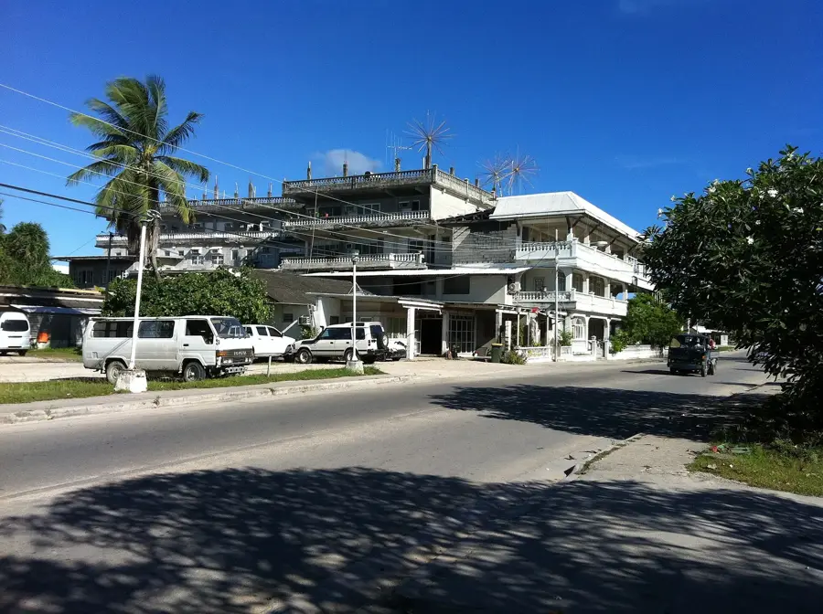
- Location: Nauru
- Top sights: Buada Chapel · Lagoon viewpoint · Command Ridge
Best time to visit & climate
The most pleasant time to visit is May, Jun, Sep.
| Jan | Feb | Mar | Apr | May | Jun | Jul | Aug | Sep | Oct | Nov | Dec | |
|---|---|---|---|---|---|---|---|---|---|---|---|---|
| Avg °C | 28 | 28 | 28 | 28 | 28 | 28 | 28 | 28 | 28 | 28 | 28 | 28 |
| Rain mm | 194 | 192 | 193 | 161 | 116 | 107 | 123 | 118 | 108 | 118 | 133 | 202 |
📋 Practical info
Geography
Facts
- Grow between limestone pinnacles
- Common species: Pteris and Nephrolepis
- Colonize former mining areas
- Thrive in crevice microclimates
- Key part of secondary vegetation
- Resilient in nutrient-poor soils
Explore nearby
Notable places around
Route planner — Car & Motorhome
Where do you start? We build the route here, with stops and country notes along the way.
© OpenStreetMap contributors · OpenRouteService
Sights in the town Central Plateau Ferns (10)
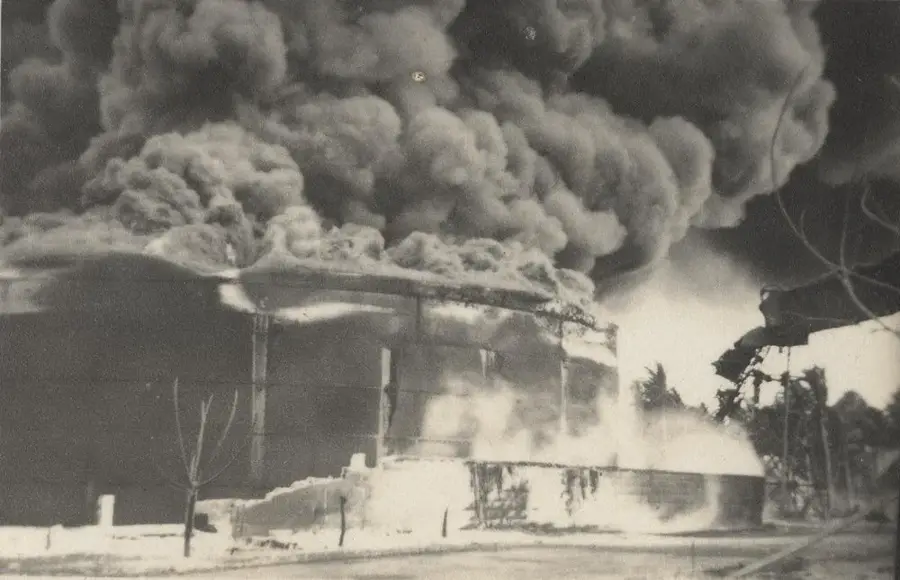
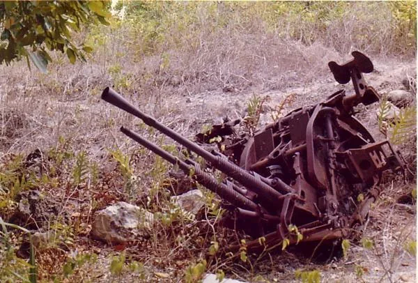
Japanese WWII Gun
Japanese coastal defense gun from World War II, still on its original concrete mount.
Japanese WWII Prison
Ruins of a Japanese prison from World War II, built for holding prisoners of war.
Japanese WWII guns and bunker
Several Japanese guns and a concrete bunker from the occupation period 1942-1945.
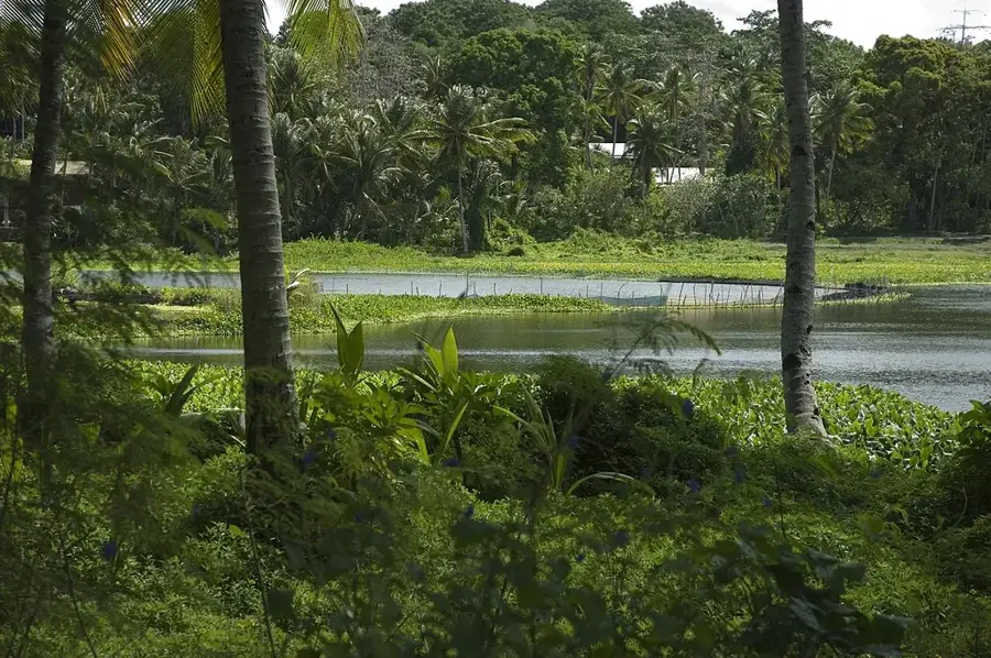
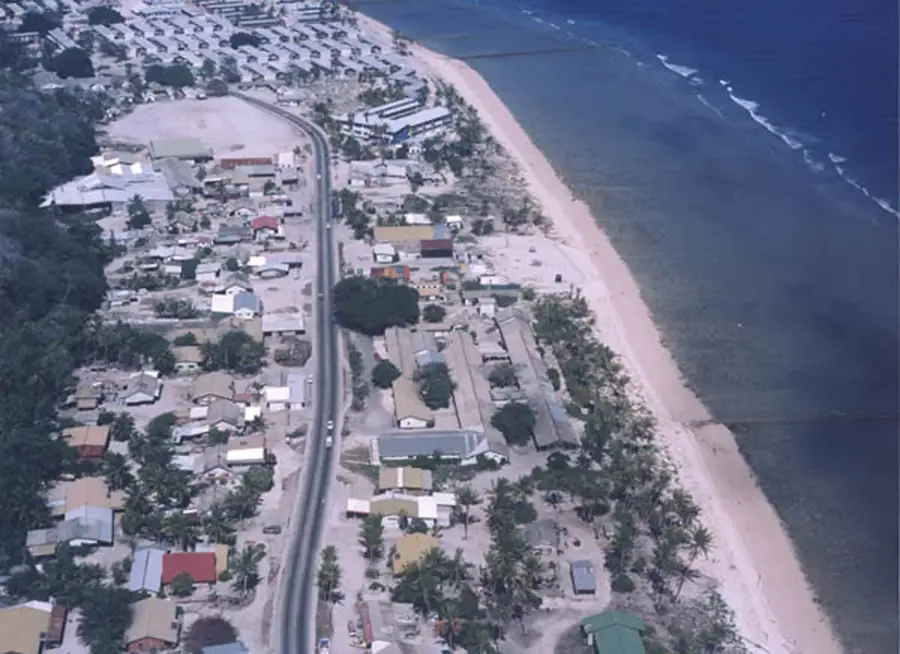
Anibare Bay
Wide bay on Nauru's east coast with a sandy beach and coral reef.
Church of Christ the King
Catholic church in Ewa, Nauru, built in the mid-20th century.
Gun
Viewpoint overlooking the plateau and coast, named after an old cannon.
Monument to the Nauruans Exiled in WWII
Memorial for Nauruans deported by Japan to Chuuk in 1942.
Sights nearby
Frequently asked questions
What makes the Topside plateau special?
Is it a hiking area?
Do I need a guide?
Is it a nature reserve?
Is there a restroom?
Central Plateau Ferns: where is it located?
Central Plateau Ferns: what is there to see?
Central Plateau Ferns: when is the best time to visit?
Central Plateau Ferns: why is it worth visiting?

Nearby cities


History & landmarks


Nature
More places