Plizio Visual Lab
Mont Malartic
Weather…
Water temperature…
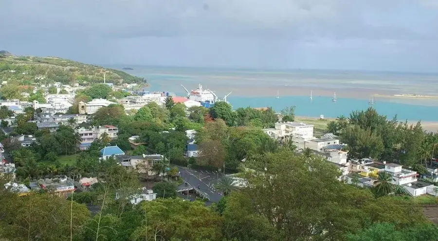
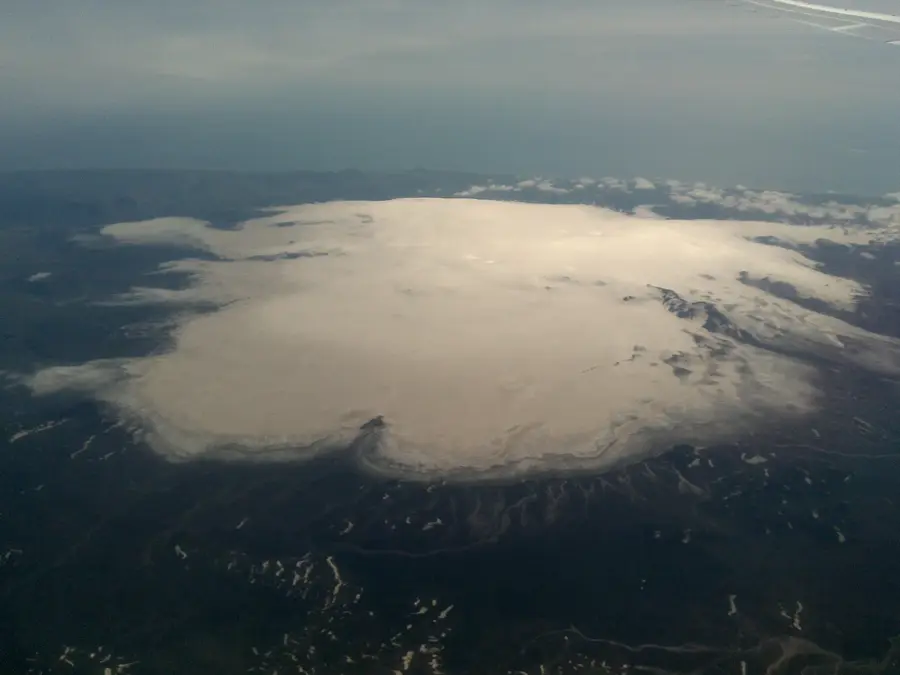
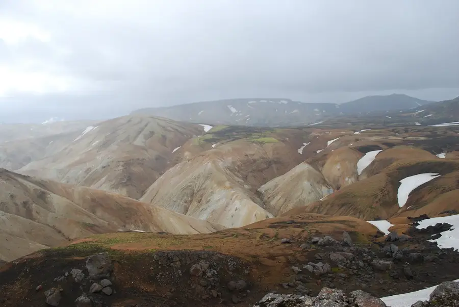
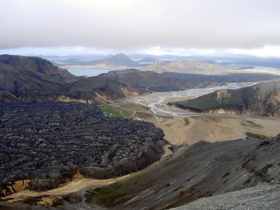
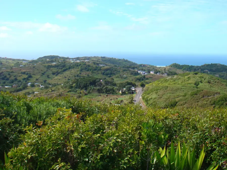
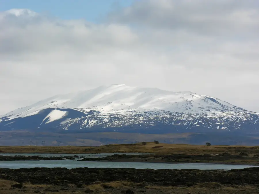
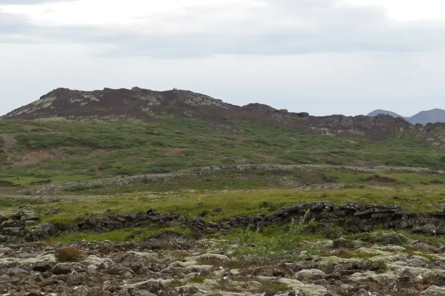
Mont Malartic is the second highest peak on Rodrigues Island, standing at 392 meters, located in the central highlands south of the capital, Port Mathurin. The region surrounding the mountain is of great importance to local agriculture, as the fertile volcanic soils facilitate the cultivation of various crops. Geologically, Mont Malartic is part of the island's ancient volcanic system and displays characteristic basalt formations. Historically, the mountain was named after the Count of Malartic, a former French Governor of Mauritius and its dependencies. The summit provides an extensive view of the southern lagoon and the rugged valleys of the island's interior. The vegetation is marked by a mixture of crops, pastureland, and scattered stands of native shrubs. Mont Malartic also plays a vital role in the island's water management, with several small streams originating on its slopes and flowing toward the coastal plains. Soil quality preservation and erosion control are central issues in this intensively farmed zone.
- Location: Mauritius
- Top sights: Baie aux Huîtres · Phare Mt Fanal · Pointe Cannon
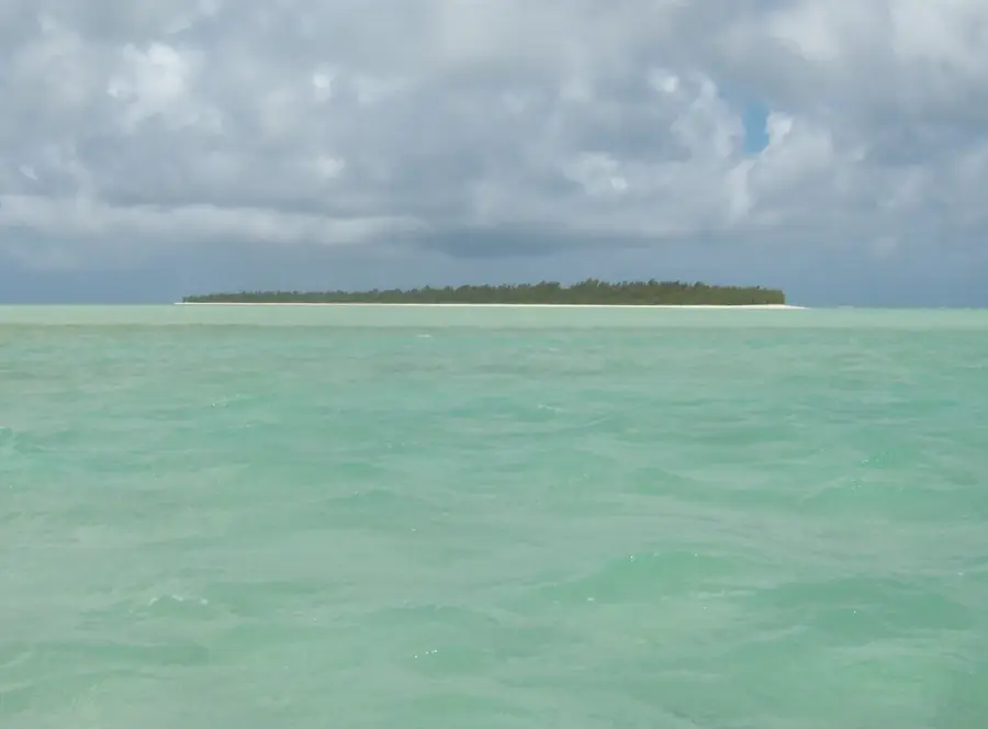
- Nearby: Ile aux Cocos (13 km)
Best time to visit & climate
The most pleasant time to visit is Jul–Sep.
| Jan | Feb | Mar | Apr | May | Jun | Jul | Aug | Sep | Oct | Nov | Dec | |
|---|---|---|---|---|---|---|---|---|---|---|---|---|
| Avg °C | 27 | 27 | 27 | 27 | 25 | 24 | 23 | 23 | 23 | 23 | 25 | 26 |
| Rain mm | 88 | 83 | 81 | 77 | 35 | 22 | 16 | 10 | 14 | 17 | 19 | 39 |
📋 Practical info
Geography
Facts
- Second highest point on Rodrigues at 392 meters
- Named after the French Governor Count Malartic
- Surrounded by fertile volcanic agricultural land
- Overlooks the southern lagoon and coral reef
- Integral part of the island's central highland
- Source of several small streams and springs
Explore nearby
Notable places around
Route planner — Car & Motorhome
Where do you start? We build the route here, with stops and country notes along the way.
© OpenStreetMap contributors · OpenRouteService
Sights in the town Mont Malartic (5)
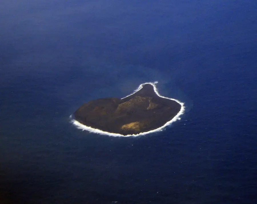
Îlot des Hollandais
Beach on a small island off Rodrigues, Mauritius.
Sights nearby
Frequently asked questions
How long does it take to climb Mont Malartic?
What footwear is required for the hike?
Is the trail suitable for families with children?
Should I expect sudden weather changes?
Are there viewpoints there?
Mont Malartic: where is it located?
Mont Malartic: what is there to see?
Mont Malartic: when is the best time to visit?
Mont Malartic: why is it worth visiting?

Nearby cities

History & landmarks


Nature
More places