Plizio Visual Lab
Landmannalaugar
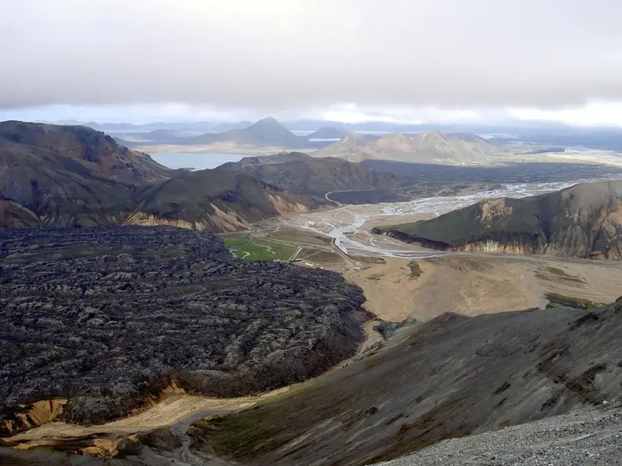
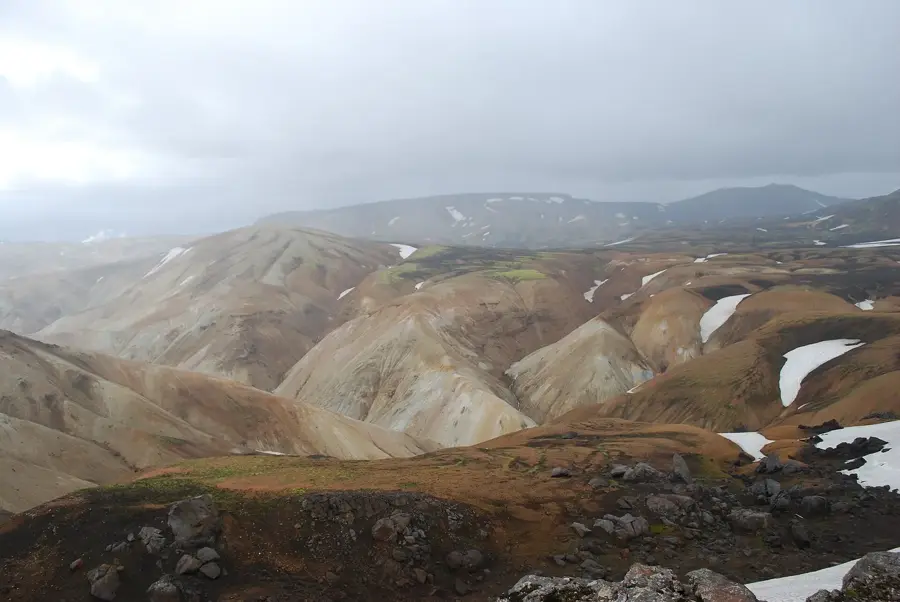
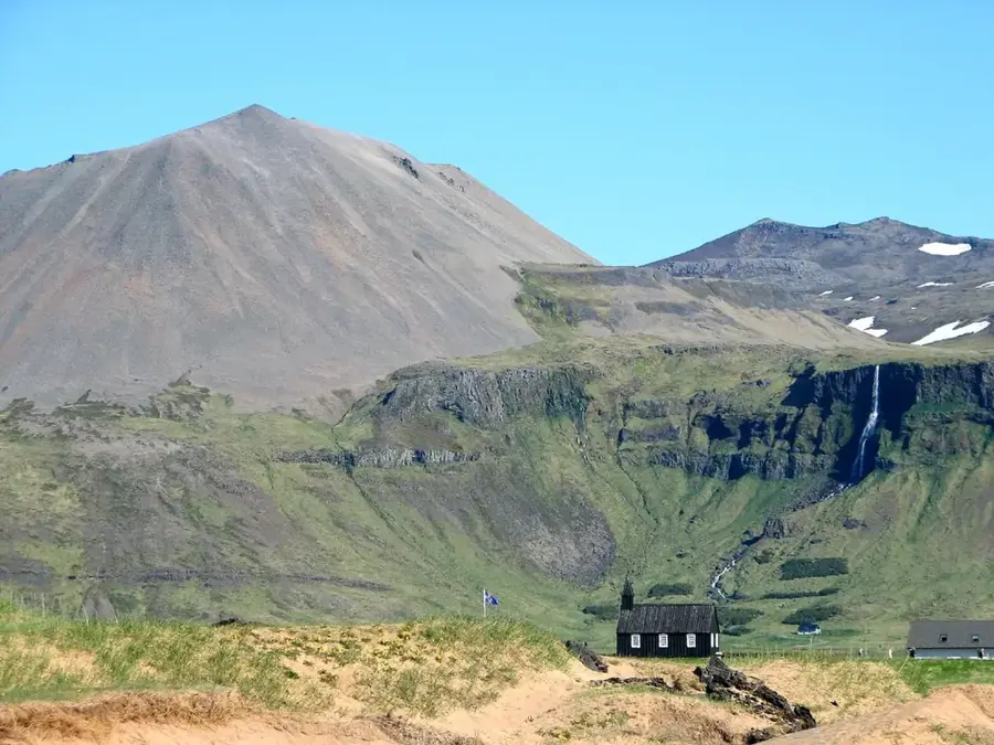
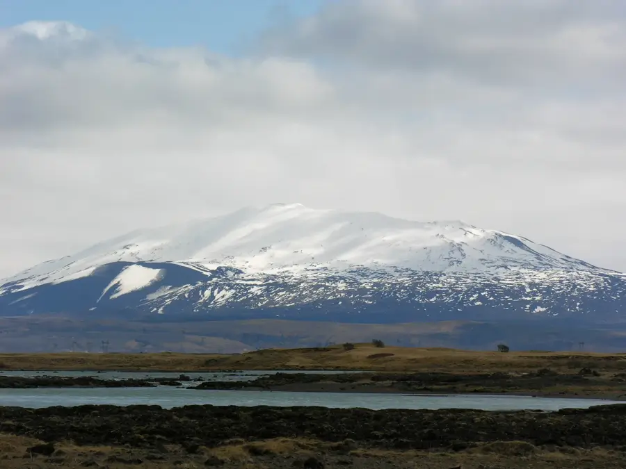
Landmannalaugar is a memorable geothermal region in the southern Highlands of Iceland, situated within the Fjallabak Nature Reserve. The area is globally renowned for its bustling rhyolite mountains, which display an incredible palette of colors including yellow, red, pink, and turquoise, caused by the unique mineral content of the volcanic rock. The landscape is dominated by the vast Laugahraun lava field, which was created during a volcanic eruption around the year 1477 and provides a stark contrast to the colorful slopes. The name translates to 'The People's Pools,' referring to the natural hot springs that have been used by travelers for bathing since ancient times. Landmannalaugar serves as the northern trailhead for the famous 55-kilometer Laugavegur trekking route, one of the most iconic hiking trails in the world. Geologically, it lies on the edge of the Torfajökull caldera, explaining the intense fumarole activity and the diverse rock formations found throughout the valley. Accessibility is strictly limited to the summer months via rugged F-roads, ensuring the preservation of its remote and pristine wilderness.
- Location: Iceland
- Top sights: Bláhnúkur · Suðurnámur · Frostastaðavatn
- Nearby: Þórsmörk (39 km)
Best time to visit & climate
The most pleasant time to visit is Jun–Aug.
| Jan | Feb | Mar | Apr | May | Jun | Jul | Aug | Sep | Oct | Nov | Dec | |
|---|---|---|---|---|---|---|---|---|---|---|---|---|
| Avg °C | -4 | -4 | -3 | -1 | 2 | 6 | 8 | 7 | 4 | 1 | -3 | -4 |
| Rain mm | 236 | 219 | 208 | 170 | 123 | 122 | 147 | 159 | 224 | 220 | 210 | 236 |
📋 Practical info
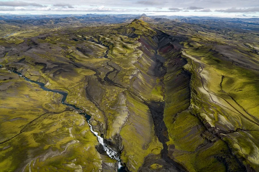
Geography
Facts
- The Laugahraun lava field was formed during a volcanic eruption around 1477.
- The area is located within the Fjallabak Nature Reserve at 600 meters elevation.
- The name Landmannalaugar translates to 'The People's Pools'.
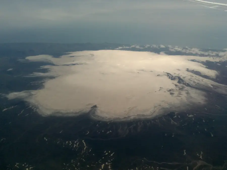
- Geologically, the region is part of the massive Torfajökull volcanic caldera.
- It is the starting point for the 55-kilometer Laugavegur trekking trail.
- The colorful mountains are primarily composed of silica-rich rhyolite rock.
Explore nearby
Notable places around
Route planner — Car & Motorhome
Where do you start? We build the route here, with stops and country notes along the way.
© OpenStreetMap contributors · OpenRouteService
Sights in the town Landmannalaugar (4)
Sights nearby
Frequently asked questions
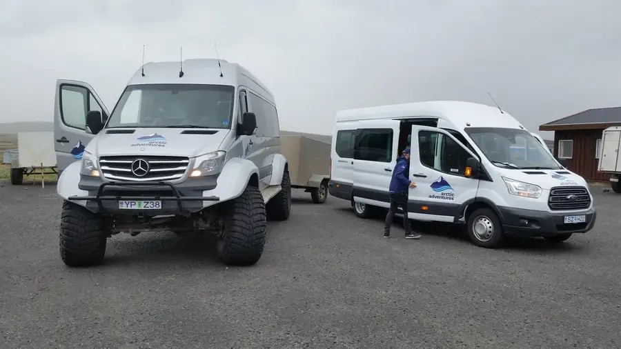
Do I need a 4x4 vehicle?
When is the best time to visit?
Can you bathe in the thermal spring?
Do I need to book hikes in advance?
Are there grocery stores there?
Landmannalaugar: where is it located?
Landmannalaugar: what is there to see?
Landmannalaugar: when is the best time to visit?
Landmannalaugar: why is it worth visiting?

Nearby cities


History & landmarks


Nature
More places