Plizio Visual Lab
Fimmvörðuháls
Weather…
Water temperature…
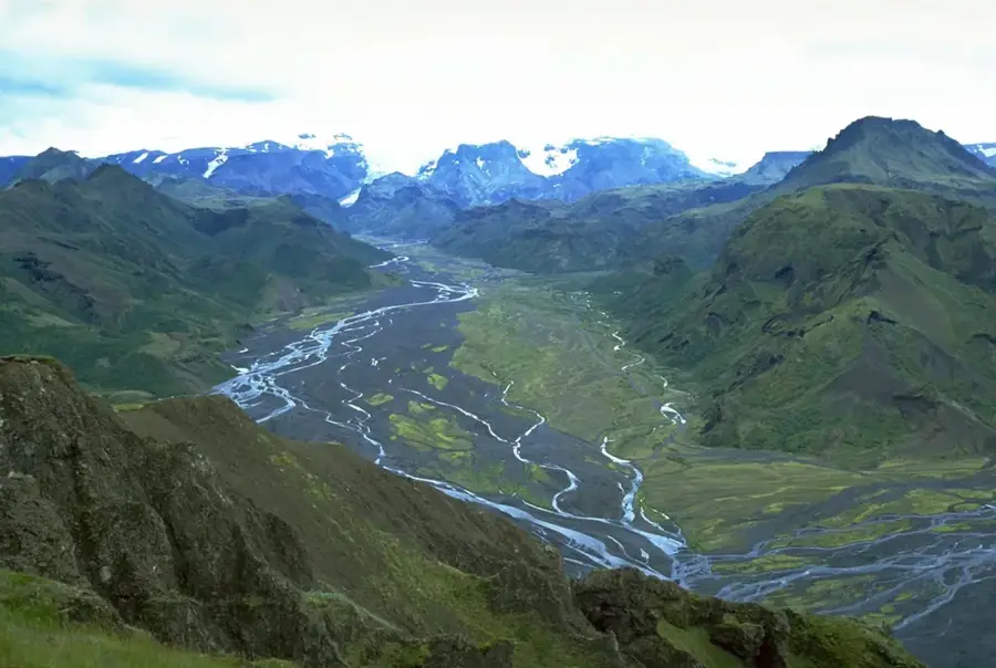
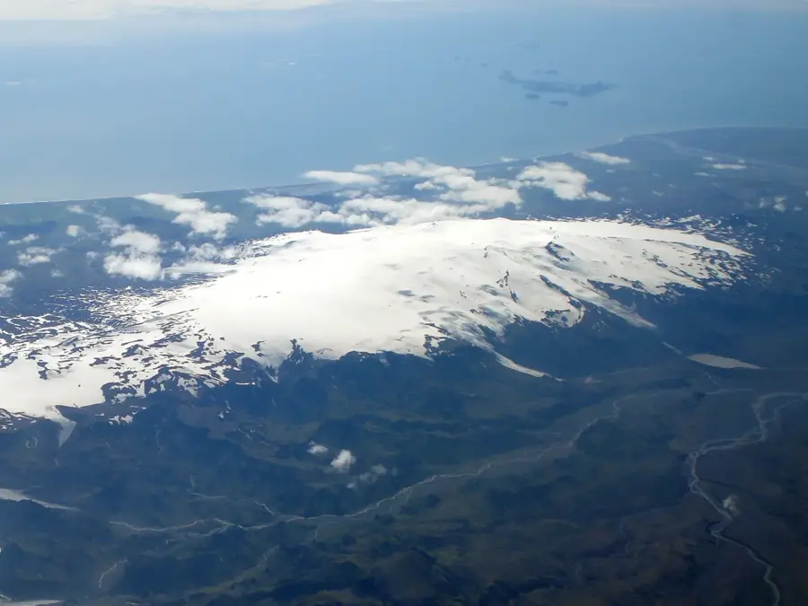
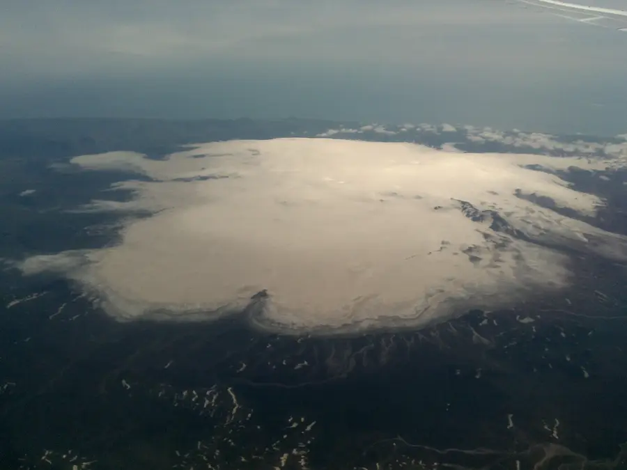
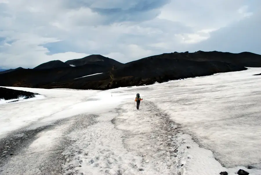
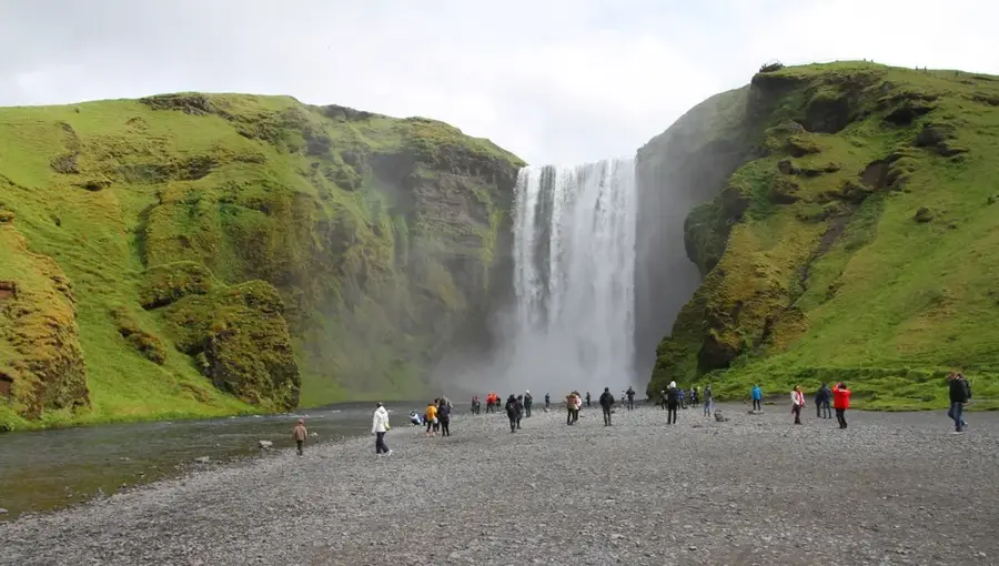
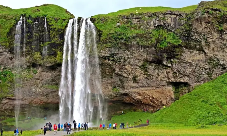
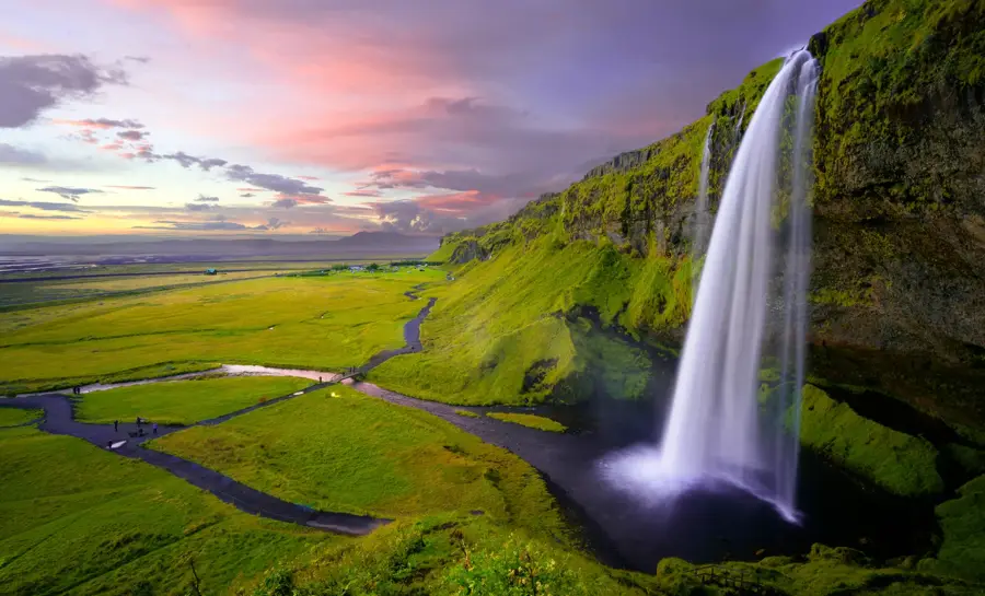
Fimmvörðuháls is a high mountain pass in southern Iceland, situated between the Eyjafjallajökull and Mýrdalsjökull glaciers. Standing at an elevation of approximately 1,100 meters, it is a key section of one of the country's most popular hiking trails, connecting Skógar to the Þórsmörk valley. The pass gained international fame in March 2010 when a volcanic eruption occurred there, immediately preceding the major eruption of Eyjafjallajökull. During this event, two new craters were formed, named Magni and Móði after the sons of the Norse god Thor. The area is geologically very young and is characterized by fresh lava fields that can emit residual heat for years after the eruption. The trail across the pass features spectacular views of more than 20 waterfalls along the Skógá river, leading it to be frequently called the "Waterfall Way." Weather conditions on Fimmvörðuháls are notoriously volatile and can shift dramatically within minutes, even during the summer months. Geologists utilize the pass as a natural laboratory to study the formation of new landmasses and the cooling behavior of lava flows. Despite the physical challenges, the pass remains a magnet for adventurers seeking to experience the raw power of Icelandic nature firsthand.
- Location: Iceland
- Nearby: Þórsmörk (6 km)
Best time to visit & climate
The most pleasant time to visit is Jun–Aug.
| Jan | Feb | Mar | Apr | May | Jun | Jul | Aug | Sep | Oct | Nov | Dec | |
|---|---|---|---|---|---|---|---|---|---|---|---|---|
| Avg °C | 0 | 0 | 0 | 2 | 4 | 8 | 9 | 9 | 7 | 4 | 1 | 0 |
| Rain mm | 293 | 268 | 258 | 194 | 136 | 128 | 151 | 176 | 263 | 250 | 250 | 291 |
📋 Practical info
Geography
Facts
- The pass is situated at an elevation of approximately 1,100 meters.
- The craters Magni and Móði were created during the 2010 eruption.
- It lies between the Eyjafjallajökull and Mýrdalsjökull glaciers.
- The hiking trail features 26 waterfalls along the course of the Skógá river.
- Some areas of the 2010 lava flow remained warm to the touch for years.
- The name Fimmvörðuháls translates to "Five Cairns Pass."
Explore nearby
Notable places around
Route planner — Car & Motorhome
Where do you start? We build the route here, with stops and country notes along the way.
© OpenStreetMap contributors · OpenRouteService
Sights nearby
Frequently asked questions
How long is the hike?
What happened here in 2010?
Is the hike dangerous?
Are there huts on the way?
How many waterfalls can be seen?
Fimmvörðuháls: where is it located?
Fimmvörðuháls: when is the best time to visit?
Fimmvörðuháls: why is it worth visiting?

Nearby cities


History & landmarks


Nature
More places