Plizio Visual Lab
Búrfell
Weather…
Water temperature…
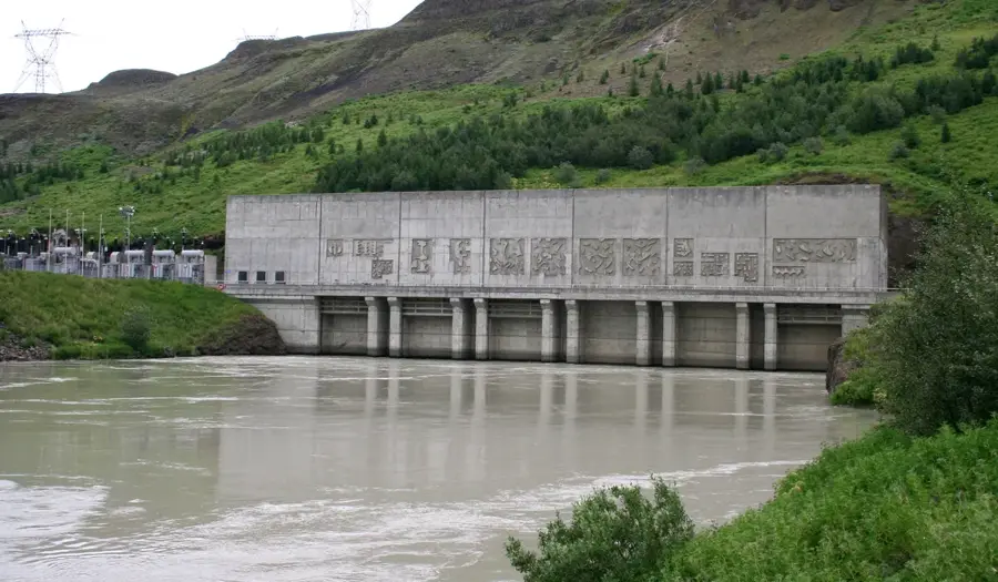
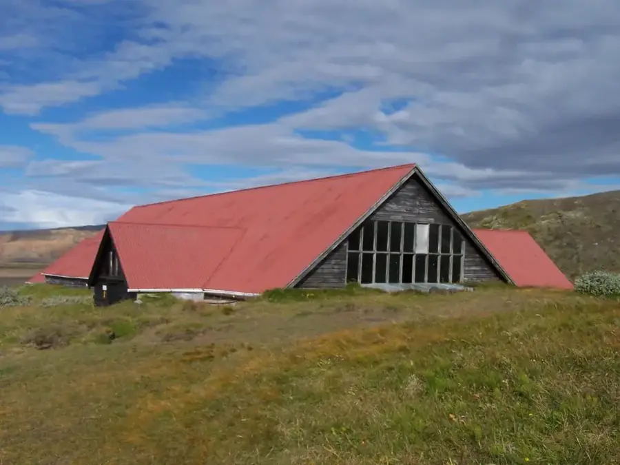
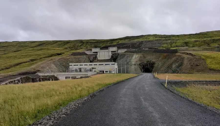
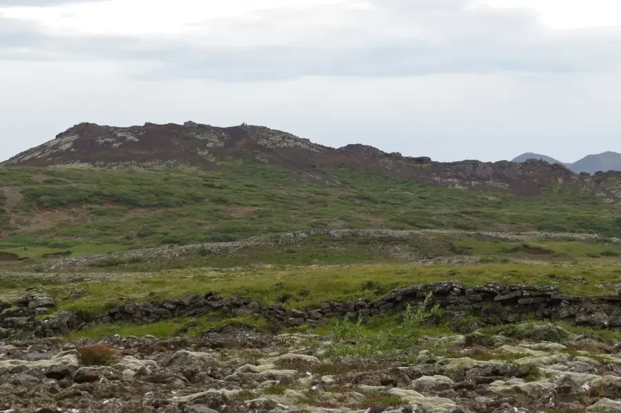
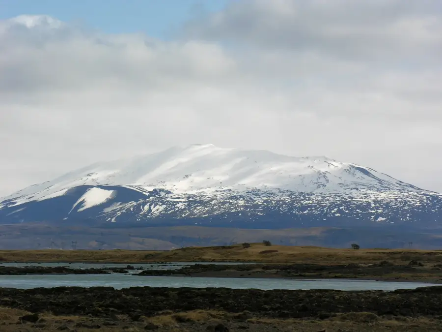
Búrfell is a prominent table mountain (tuya) in southern Iceland, formed by volcanic eruptions beneath a glacier during the last Ice Age. It is located in the Þjórsá river valley and is known for its steep flanks and flat summit plateau, which reaches a height of 669 meters. Geologically, the mountain consists primarily of palagonite breccias and basalt, characteristic of Icelandic table mountains. Directly at the foot of the mountain lies one of Iceland's most important hydroelectric power plants, Búrfellsvirkjun, which harnesses the energy of the Þjórsá and has been in operation since 1969. Nearby is also the reconstructed Viking farm Stöng, which was destroyed during the eruption of the nearby Hekla volcano in 1104. Hiking trails lead up to the plateau, offering expansive views over the highlands and the Hekla volcano. Búrfell serves not only as a geological landmark but also as a symbol of Iceland's successful utilization of geothermal and hydraulic energy sources.
- Location: Iceland
- Nearby: Landmannalaugar (39 km)
Best time to visit & climate
The most pleasant time to visit is Jun–Aug.
| Jan | Feb | Mar | Apr | May | Jun | Jul | Aug | Sep | Oct | Nov | Dec | |
|---|---|---|---|---|---|---|---|---|---|---|---|---|
| Avg °C | -3 | -3 | -2 | 0 | 4 | 8 | 9 | 8 | 6 | 2 | -2 | -3 |
| Rain mm | 192 | 175 | 169 | 130 | 96 | 92 | 111 | 119 | 183 | 156 | 162 | 194 |
📋 Practical info
Geography
Facts
- A table mountain (tuya) reaching 669 meters in height.
- Formed by subglacial eruptions during the last glacial period.
- Site of the Búrfellsvirkjun power plant, operational since 1969.
- Located within the valley of the Þjórsá, Iceland's longest river.
- Offers a panoramic view of the frequently active Hekla volcano.
- Close to the historic reconstructed Viking longhouse at Stöng.
Explore nearby
Notable places around
Route planner — Car & Motorhome
Where do you start? We build the route here, with stops and country notes along the way.
© OpenStreetMap contributors · OpenRouteService
Sights in the town Búrfell (1)
Sights nearby
Frequently asked questions
What is Búrfell?
Can you hike the mountain?
What is located nearby?
Is the trail steep?
What view can you see from the top?
Búrfell: where is it located?
Búrfell: when is the best time to visit?
Búrfell: why is it worth visiting?

Nearby cities


History & landmarks


Nature
More places