Plizio Visual Lab
Þórsmörk
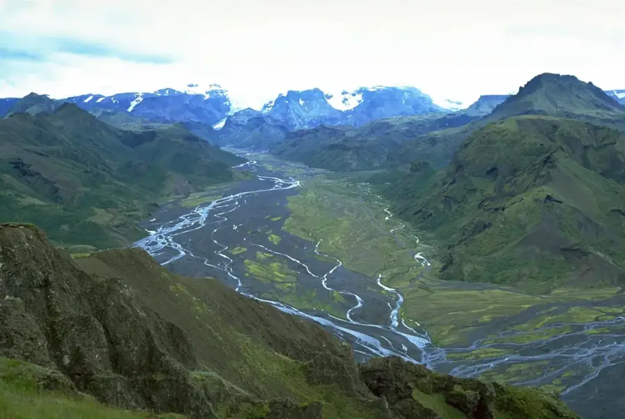
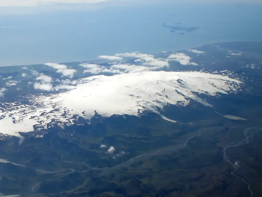
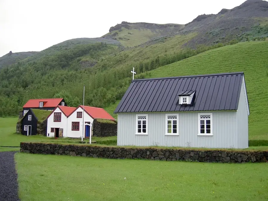
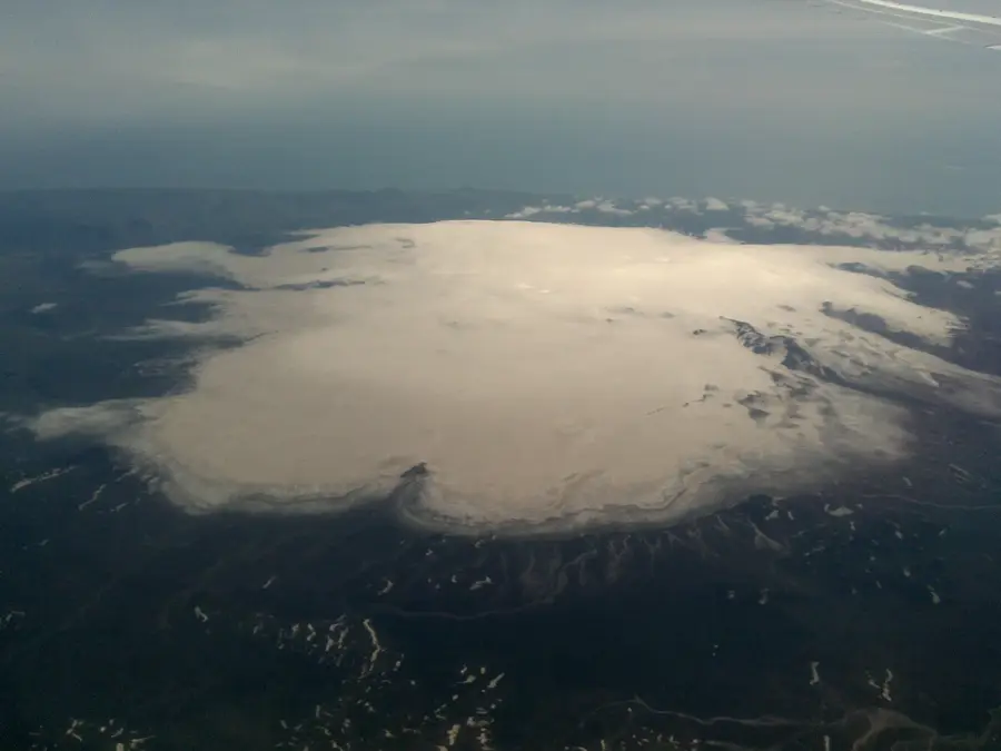
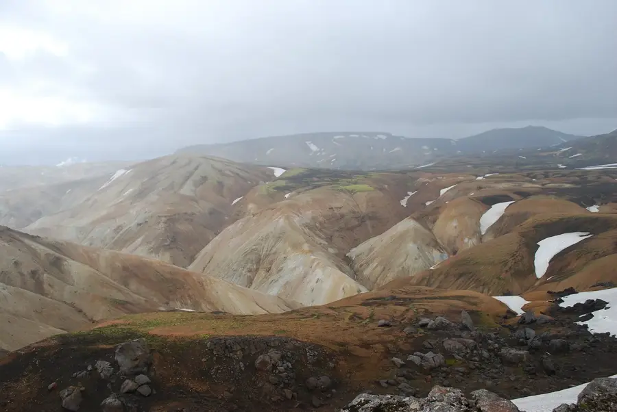
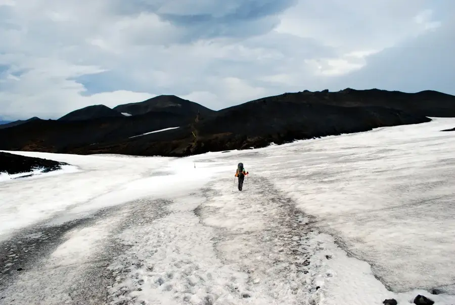
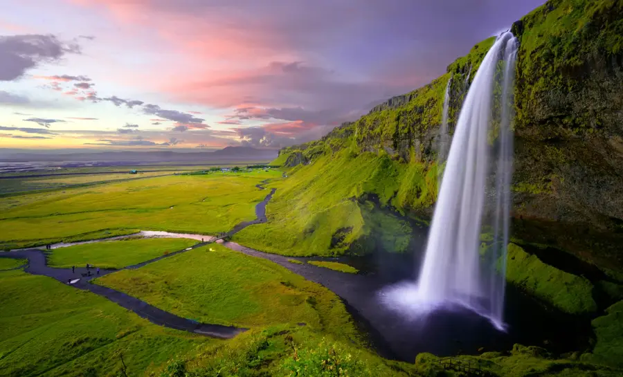
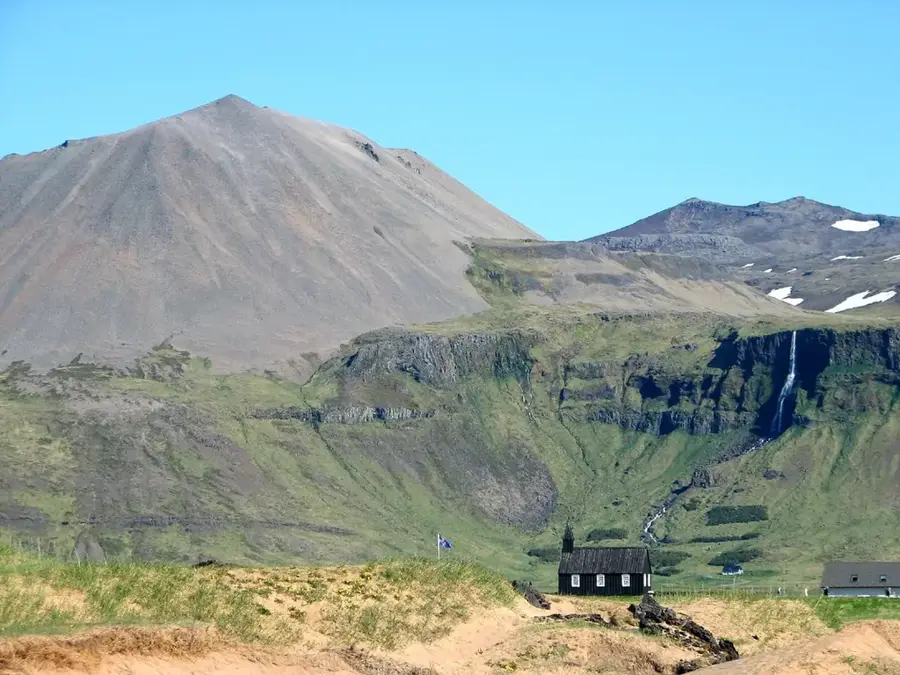
Þórsmörk is a protected valley and mountain ridge in southern Iceland, positioned between the Eyjafjallajökull, Mýrdalsjökull, and Tindfjallajökull glaciers. Named after the Norse god Thor, the area is renowned for its milder microclimate and surprisingly lush vegetation, including dense birch woodlands and ferns. The valley is crisscrossed by powerful glacial rivers like the Krossá, Þröngá, and Markarfljót, whose shifting currents often require specialized vehicles for safe passage. Geologically, the region was shaped by intense volcanic activity, with the surrounding mountains primarily composed of palagonite formed during subglacial eruptions. Since 1921, Þórsmörk has been a designated nature reserve, which has successfully preserved the native flora from overgrazing. The area is a major hub for hikers, serving as the terminus for the famous Laugavegur trail and the starting point for the Fimmvörðuháls trek. The landscape features a dramatic backdrop of sharp rock formations, deep gorges, and shimmering glacier tongues. Scientists value the region for its unique ecological conditions in an otherwise barren arctic environment. Þórsmörk remains one of the most popular destinations for nature enthusiasts seeking Iceland's wild side.
- Location: Iceland
- Top sights: Valahnúkur · Gráfell · Hátindar
- Nearby: Vik (37 km)
Best time to visit & climate
The most pleasant time to visit is Jun–Aug.
| Jan | Feb | Mar | Apr | May | Jun | Jul | Aug | Sep | Oct | Nov | Dec | |
|---|---|---|---|---|---|---|---|---|---|---|---|---|
| Avg °C | 0 | 0 | 0 | 2 | 4 | 8 | 9 | 9 | 7 | 4 | 1 | 0 |
| Rain mm | 293 | 268 | 258 | 194 | 136 | 128 | 151 | 176 | 263 | 250 | 250 | 291 |
📋 Practical info
Geography
Facts
- The valley is named after the Norse god Thor.
- It is situated between the Eyjafjallajökull, Mýrdalsjökull, and Tindfjallajökull glaciers.
- The Krossá river is notorious for its rapidly shifting water levels.
- The area has been a protected nature reserve since 1921.
- It is famous for its natural birch forests, rare in the Icelandic highlands.
- Þórsmörk is a key destination on the world-famous Laugavegur hiking trail.
Explore nearby
Notable places around
Route planner — Car & Motorhome
Where do you start? We build the route here, with stops and country notes along the way.
© OpenStreetMap contributors · OpenRouteService
Sights in the town Þórsmörk (3)
Sights nearby
Frequently asked questions
How do you get to Þórsmörk?
What does the name mean?
Which hiking trails start here?
Are there trees there?
Is the weather better there?
Þórsmörk: where is it located?
Þórsmörk: what is there to see?
Þórsmörk: when is the best time to visit?
Þórsmörk: why is it worth visiting?

Nearby cities


History & landmarks


Nature
More places