Plizio Visual Lab
Mælifell
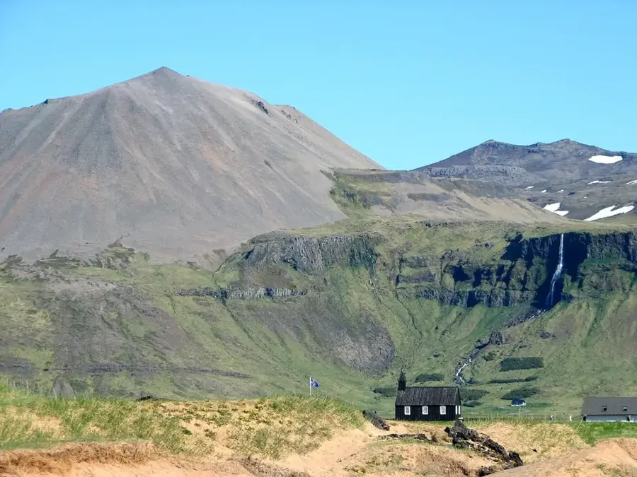
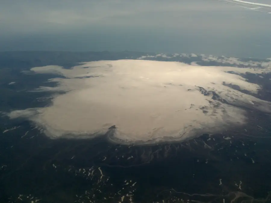
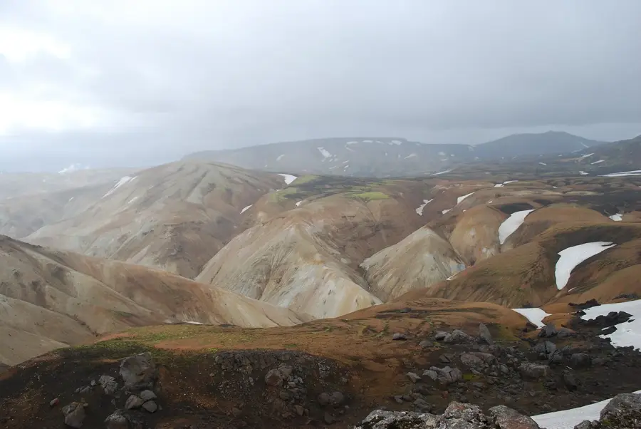
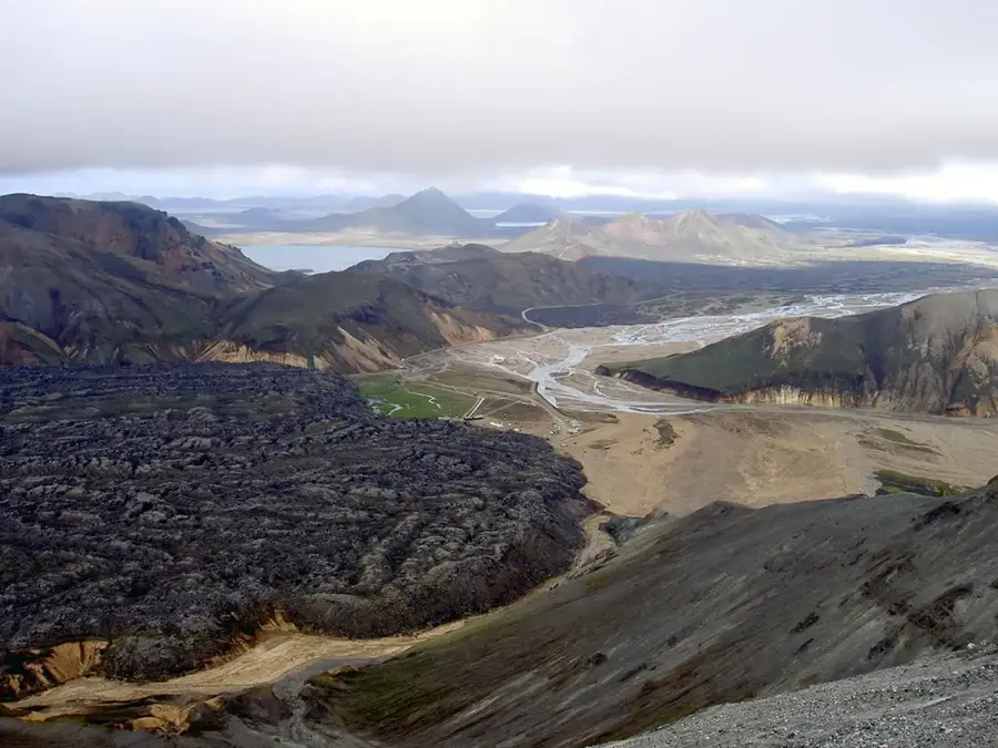
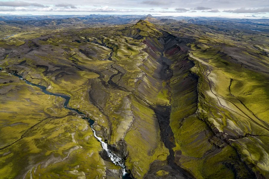
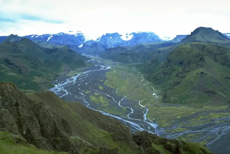
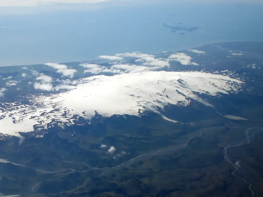
Mælifell is an iconic, cone-shaped volcano in southern Iceland that rises majestically from the black sand desert of Mælifellssandur. Standing 791 meters above sea level, this former subglacial volcano is almost entirely covered in a lively green carpet of Grimmia moss. This moss thrives on the damp substrate and creates an extreme visual contrast with the surrounding ash-colored plains. Geologically, the mountain was formed by eruptions beneath a massive glacier during the last ice age, which explains its characteristic shape. The area is located north of the Mýrdalsjökull glacier and is accessible only via challenging highland tracks that require numerous river crossings. Mælifell is considered by photographers to be one of Iceland's most aesthetic subjects, as it perfectly embodies the rugged solitude of the highlands. Despite its fame, it remains a place of great silence and untouched natural beauty due to its difficult accessibility.
- Location: Iceland
- Nearby: Landmannalaugar (22 km)
Best time to visit & climate
The most pleasant time to visit is Jun–Aug.
| Jan | Feb | Mar | Apr | May | Jun | Jul | Aug | Sep | Oct | Nov | Dec | |
|---|---|---|---|---|---|---|---|---|---|---|---|---|
| Avg °C | -4 | -4 | -3 | -1 | 2 | 6 | 8 | 7 | 4 | 1 | -3 | -4 |
| Rain mm | 236 | 219 | 208 | 170 | 123 | 122 | 147 | 159 | 224 | 220 | 210 | 236 |
📋 Practical info
Geography
Facts
- The elevation is 791 meters above sea level.
- The name Mælifell translates to 'Measure Mountain'.
- Grimmia moss colors the mountain vibrant green in summer.
- The volcano is located on the F210 highland track.
- The Mælifellssandur desert consists of fine volcanic ash.
- The mountain was formed during a subglacial eruption in the Ice Age.
Explore nearby
Notable places around
Route planner — Car & Motorhome
Where do you start? We build the route here, with stops and country notes along the way.
© OpenStreetMap contributors · OpenRouteService
Sights in the town Mælifell (1)
Sights nearby
Frequently asked questions
What makes Mælifell so special?
Why is it so green?
Where is it located?
How can you reach Mælifell?
Is it a high mountain?
Mælifell: where is it located?
Mælifell: when is the best time to visit?
Mælifell: why is it worth visiting?

Nearby cities


History & landmarks


Nature
More places