Plizio Visual Lab
Torfajökull Massif
Weather…
Water temperature…
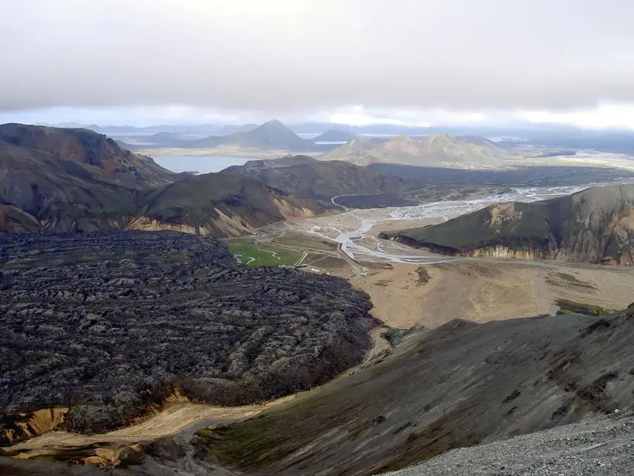
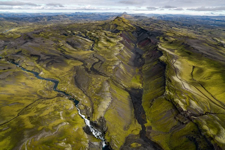
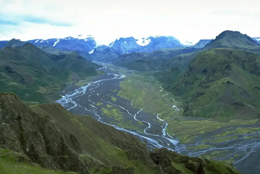
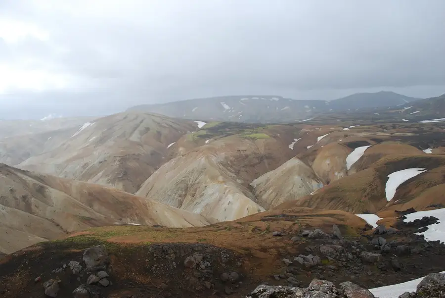
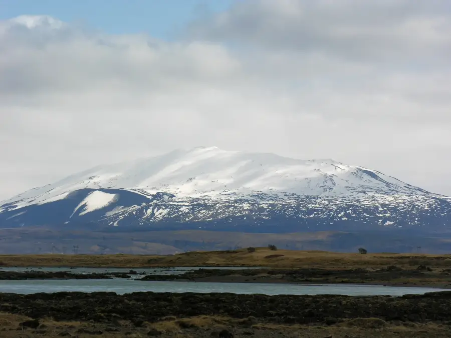
The Torfajökull Massif is a major rhyolitic volcanic center in the southern highlands of Iceland, east of the Hekla volcano. It is famous for its colorful rhyolite mountains, which glow in shades of yellow, red, and blue, and hosts the largest geothermal area in the country outside the active rift zones. The complex includes a massive caldera with a diameter of about 18 kilometers, formed by the collapse of an ancient volcano. The area around Landmannalaugar, part of the massif, is world-renowned for its hot springs and spectacular hiking trails like the Laugavegur. Geologically, Torfajökull is unusual as rhyolitic magma is rarer in Iceland than basalt. The last major eruption occurred around 1477 and left behind the prominent Laugahraun lava field. The region is under special protection and is an important research area for the study of magmatic differentiation processes in the Earth's crust.
- Location: Iceland
- Top sights: Hrafntinnusker · Háskerðingur · Kaldaklofsfjöll
- Nearby: Landmannalaugar (9 km)
Best time to visit & climate
The most pleasant time to visit is Jun–Aug.
| Jan | Feb | Mar | Apr | May | Jun | Jul | Aug | Sep | Oct | Nov | Dec | |
|---|---|---|---|---|---|---|---|---|---|---|---|---|
| Avg °C | -4 | -4 | -3 | -1 | 2 | 6 | 8 | 7 | 4 | 1 | -3 | -4 |
| Rain mm | 236 | 219 | 208 | 170 | 123 | 122 | 147 | 159 | 224 | 220 | 210 | 236 |
📋 Practical info
Geography
Facts
- Home to the largest geothermal area in Iceland.
- Composed mostly of colorful rhyolite, rare for the region.
- Features a vast 18-kilometer wide volcanic caldera.
- Encompasses the famous Landmannalaugar hiking area.
- The last significant eruption was recorded around 1477.
- Reaches a peak elevation of approximately 1,190 meters.
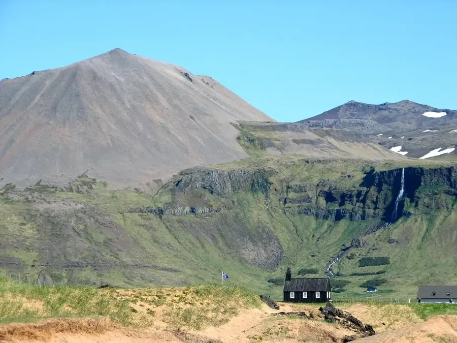
Explore nearby
Notable places around
Route planner — Car & Motorhome
Where do you start? We build the route here, with stops and country notes along the way.
© OpenStreetMap contributors · OpenRouteService
Sights in the town Torfajökull Massif (3)
Sights nearby
Frequently asked questions
Where is the Torfajökull massif located?
What is unique about the mountains there?
Is there geothermal activity?
Can you bathe there?
When is the area accessible?
Torfajökull Massif: where is it located?
Torfajökull Massif: what is there to see?
Torfajökull Massif: when is the best time to visit?
Torfajökull Massif: why is it worth visiting?

Nearby cities


History & landmarks


Nature
More places