Plizio Visual Lab
Surtsey

Weather…
Water temperature…
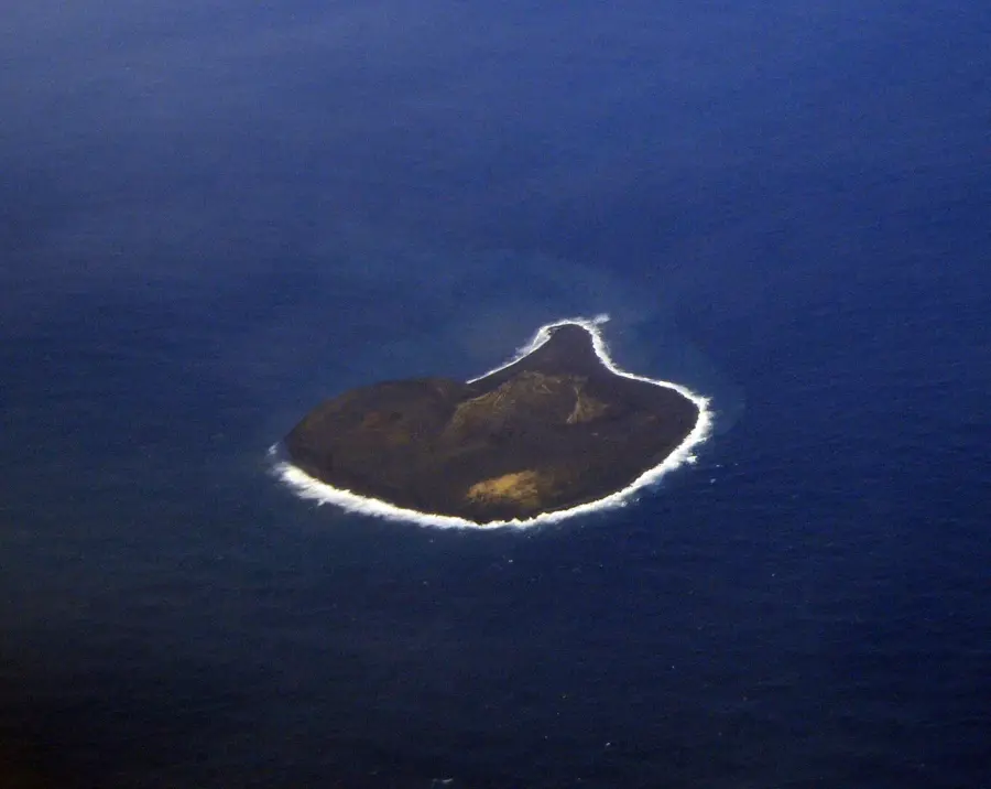
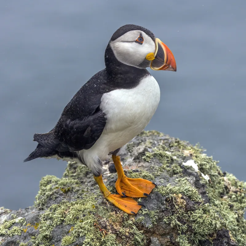
Surtsey is a volcanic island created by a series of undersea eruptions between 1963 and 1967, located south of the Vestmannaeyjar islands. Named after Surtur, the fire giant of Norse mythology, the island reached a maximum area of 2.7 square kilometers upon the conclusion of volcanic activity. Since its formation, Surtsey has been a strictly protected nature reserve where human access is forbidden to allow the natural colonization of life without external interference. Scientists have used the site to document how plants, insects, and birds establish themselves on sterile volcanic rock, a process known as primary succession. Wave and wind erosion have significantly reduced the island's size, which has lost nearly half of its original area. In 2008, Surtsey was designated a UNESCO World Heritage site for its outstanding scientific value in the study of biological evolution.
- Location: Iceland
- Nearby: Vestmannaeyjar (22 km)
Best time to visit & climate
The most pleasant time to visit is Jun–Aug.
| Jan | Feb | Mar | Apr | May | Jun | Jul | Aug | Sep | Oct | Nov | Dec | |
|---|---|---|---|---|---|---|---|---|---|---|---|---|
| Avg °C | 3 | 3 | 4 | 5 | 7 | 10 | 12 | 12 | 9 | 7 | 5 | 3 |
| Rain mm | 152 | 137 | 137 | 97 | 68 | 63 | 77 | 89 | 144 | 125 | 128 | 156 |
📋 Practical info
Geography
Facts
- Eruption began on November 14, 1963, at a depth of 130m
- Designated as a UNESCO World Heritage site in 2008
- Original size was 2.7 km², now reduced to about 1.4 km²
- Named after the Norse fire giant Surtur
- Strictly off-limits to the public; scientists only
- The highest point is approximately 155 meters above sea level
Explore nearby
Notable places around
Route planner — Car & Motorhome
Where do you start? We build the route here, with stops and country notes along the way.
© OpenStreetMap contributors · OpenRouteService
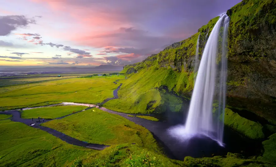
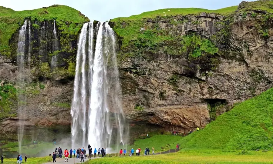
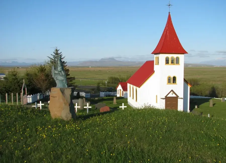
Sights in the town Surtsey (1)
Sights nearby
Frequently asked questions
Can you visit Surtsey?
When was the island formed?
Why is the island protected?
Is Surtsey a UNESCO World Heritage site?
How can you see the island?
Surtsey: where is it located?
Surtsey: when is the best time to visit?
Surtsey: why is it worth visiting?

Nearby cities


History & landmarks