Plizio Visual Lab
Mont Limon
Weather…
Water temperature…
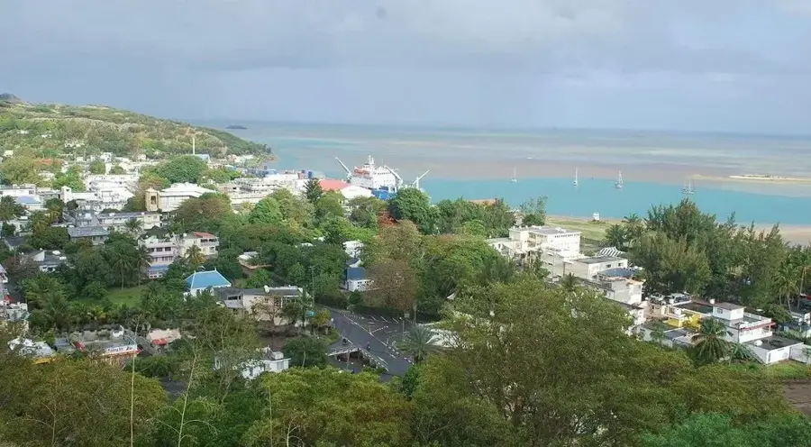
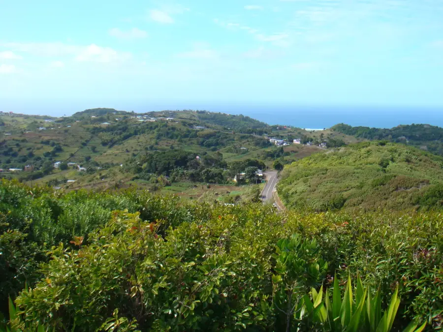
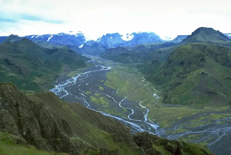
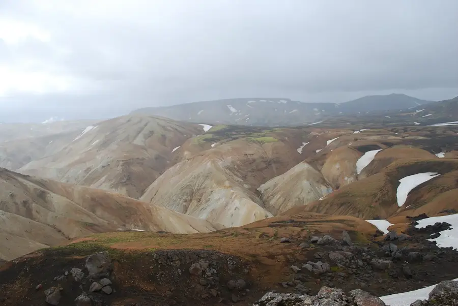
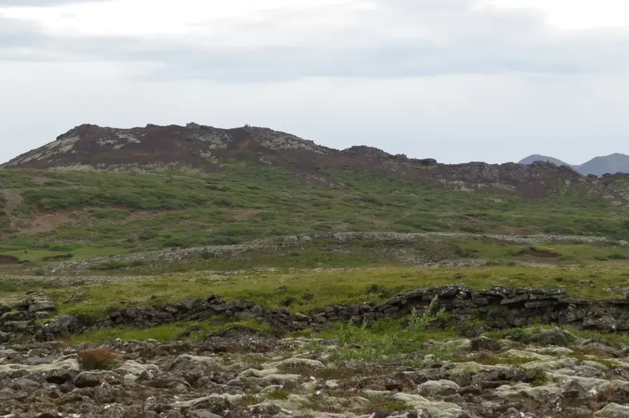
Mont Limon is the highest point on the island of Rodrigues in the Indian Ocean, reaching an elevation of 398 meters. Due to its central geographical location, the summit provides a complete 360-degree panoramic view of the entire island, including its extensive coral reefs and coastline. Geologically, the mountain is of volcanic origin and consists predominantly of basaltic rock formations, typical of the Mascarene Archipelago's formation. The ascent to the peak is relatively short, passing through areas of reforested vegetation and agricultural land. Historically, the mountain served as an essential landmark for sailors and the local community. The surrounding area contains remnants of the original Rodrigues flora, which conservation efforts aim to protect from invasive species. The climate at the summit is often windier and cooler than at the coast, encouraging the growth of specific plant species. Mont Limon is an indispensable site for island surveying and stands as a symbol of the natural diversity of Rodrigues.
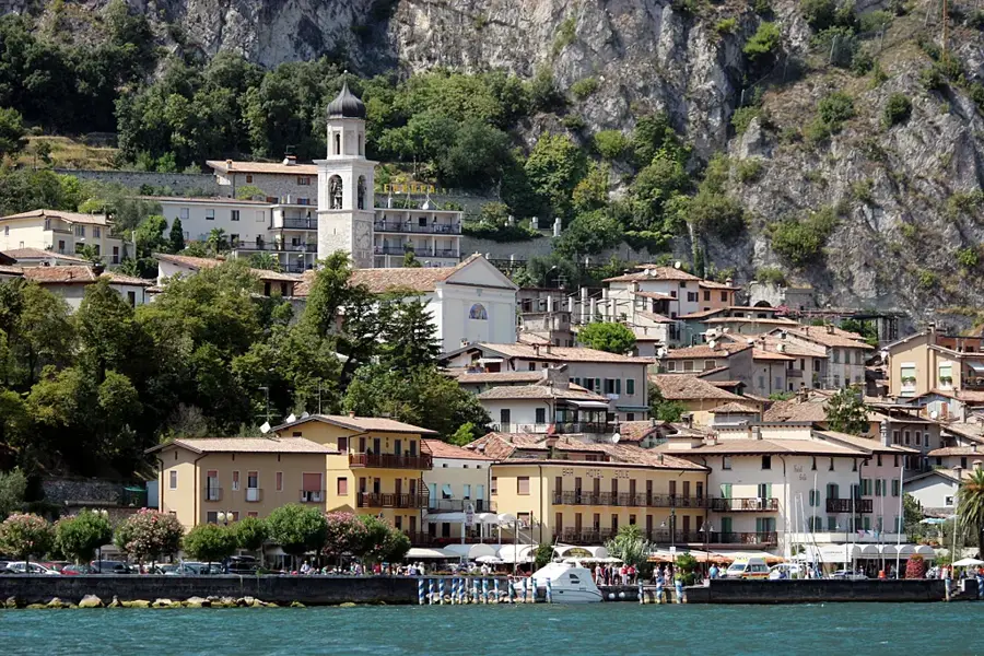
- Location: Mauritius
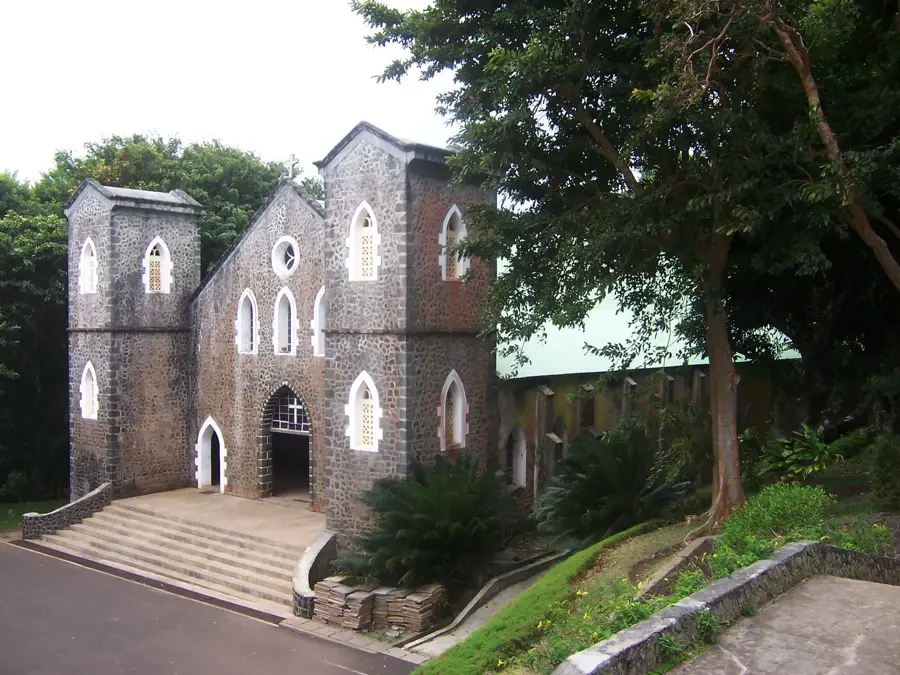
- Top sights: Mont Limon · South vista · Saint Gabriel Cathedral
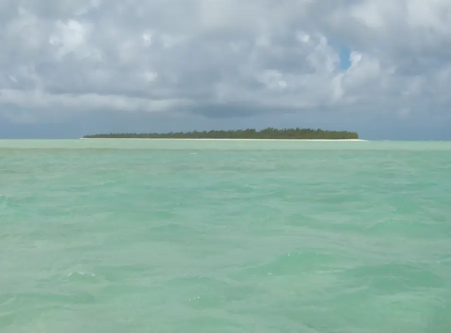
- Nearby: Ile aux Cocos (15 km)
Best time to visit & climate
The most pleasant time to visit is Jul–Sep.
| Jan | Feb | Mar | Apr | May | Jun | Jul | Aug | Sep | Oct | Nov | Dec | |
|---|---|---|---|---|---|---|---|---|---|---|---|---|
| Avg °C | 27 | 27 | 27 | 27 | 25 | 24 | 23 | 23 | 23 | 23 | 25 | 26 |
| Rain mm | 88 | 83 | 81 | 77 | 35 | 22 | 16 | 10 | 14 | 17 | 19 | 39 |
📋 Practical info
Geography
Facts
- Highest peak on Rodrigues Island at 398 meters
- Provides a 360-degree view of the lagoon
- Geological formation composed of basalt rock
- Central point for geographical surveying
- Features a cooler microclimate than the plains
- Easily accessible via a short hiking trail
Explore nearby
Notable places around
Route planner — Car & Motorhome
Where do you start? We build the route here, with stops and country notes along the way.
© OpenStreetMap contributors · OpenRouteService
Sights in the town Mont Limon (6)
Pointe Cannon
Old fortification on Rodrigues, Mauritius.
Tyrolienne
Zip line on Rodrigues, Mauritius.
Sights nearby
Frequently asked questions
How difficult is the hike to Mont Limon?
When is the best time of year to climb?
Is there parking near the trailhead?
Do you need a guide for Mont Limon?
Are there restrooms or restaurants along the way?
Mont Limon: where is it located?
Mont Limon: what is there to see?
Mont Limon: when is the best time to visit?
Mont Limon: why is it worth visiting?

Nearby cities

History & landmarks


Nature
More places