Plizio Visual Lab
Katla

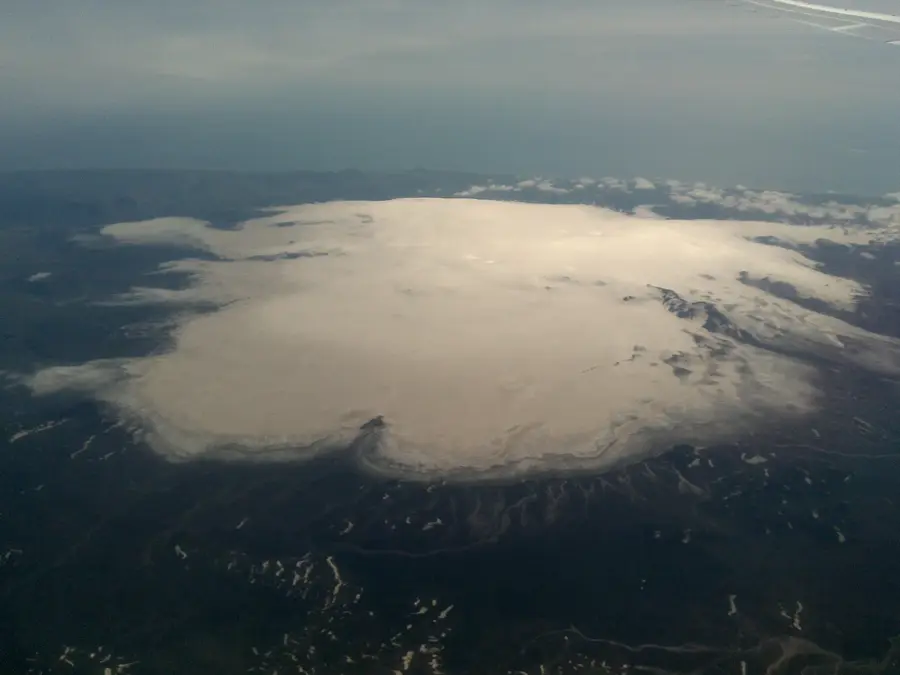
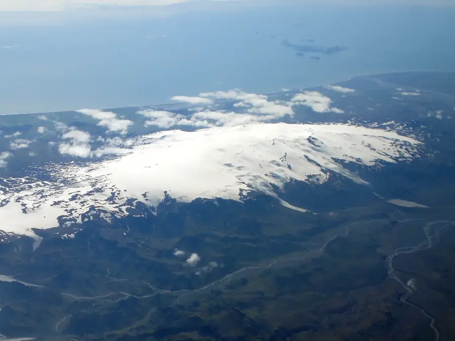
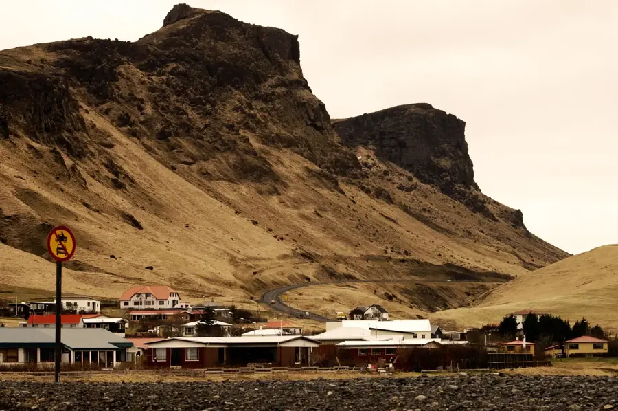
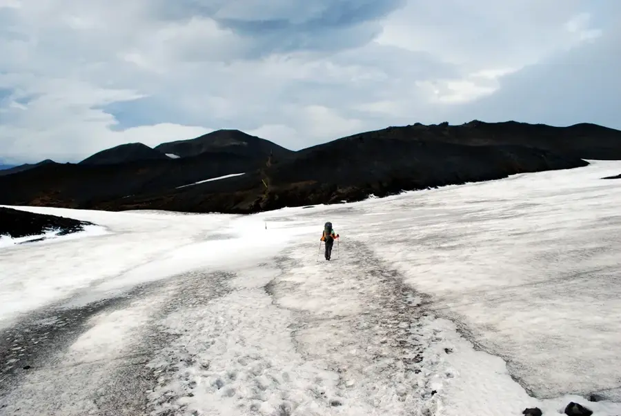
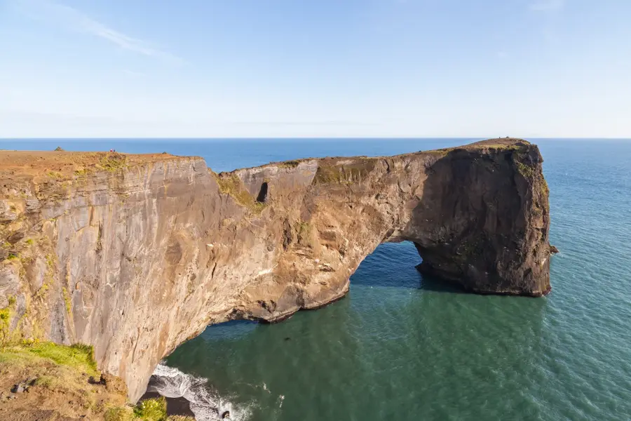
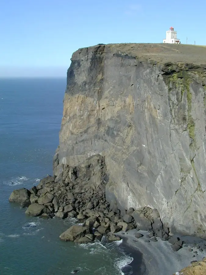
Katla is one of Iceland's most powerful and hazardous volcanoes, buried beneath the thick ice cap of the Mýrdalsjökull glacier in southern Iceland. Standing at 1,512 meters, its caldera spans approximately 110 square kilometers, making it one of the largest and most active volcanic systems in the country. Katla is notorious for its explosive subglacial eruptions, which trigger catastrophic glacial floods known as jökulhlaups. These torrents of water, ice, and debris can devastate entire coastal areas and have significantly shaped the topography of South Iceland. Historically, Katla has erupted every 40 to 80 years, but its last major eruption occurred in 1918. Because more than a century has passed since its last significant event, scientists closely monitor seismic activity and glacial thinning for any signs of an imminent awakening. Ash layers from Katla's past eruptions are visible as dark bands in many Icelandic glaciers, acting as a geological record of its violent history.
- Location: Iceland
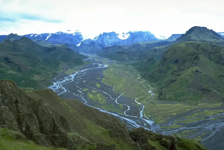
- Nearby: Þórsmörk (18 km)
Best time to visit & climate
The most pleasant time to visit is Jun–Aug.
| Jan | Feb | Mar | Apr | May | Jun | Jul | Aug | Sep | Oct | Nov | Dec | |
|---|---|---|---|---|---|---|---|---|---|---|---|---|
| Avg °C | 1 | 1 | 1 | 3 | 5 | 8 | 10 | 10 | 8 | 4 | 2 | 1 |
| Rain mm | 250 | 232 | 222 | 174 | 124 | 120 | 144 | 166 | 229 | 235 | 221 | 251 |
📋 Practical info
Geography
Facts
- Located under the Mýrdalsjökull glacier
- Caldera area of 110 km²
- Height of 1,512 meters
- Causes massive glacial floods (jökulhlaups)
- Last major eruption in 1918
- Historical eruption interval of 40-80 years
Explore nearby
Notable places around
Route planner — Car & Motorhome
Where do you start? We build the route here, with stops and country notes along the way.
© OpenStreetMap contributors · OpenRouteService
Sights in the town Katla (1)
Sights nearby
Frequently asked questions
Where is Katla located?
Is Katla dangerous?
Can you visit ice caves near Katla?
When did it last erupt?
How large is the crater?
Katla: where is it located?
Katla: when is the best time to visit?
Katla: why is it worth visiting?

Nearby cities


History & landmarks


Nature
More places