Plizio Visual Lab
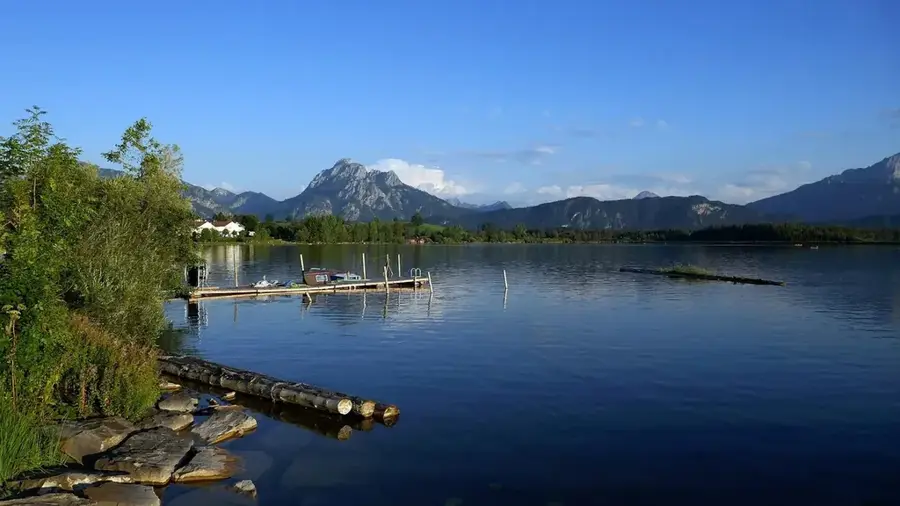
Gondo Plain

Weather…
Water temperature…
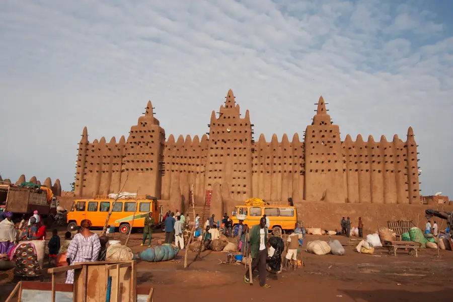
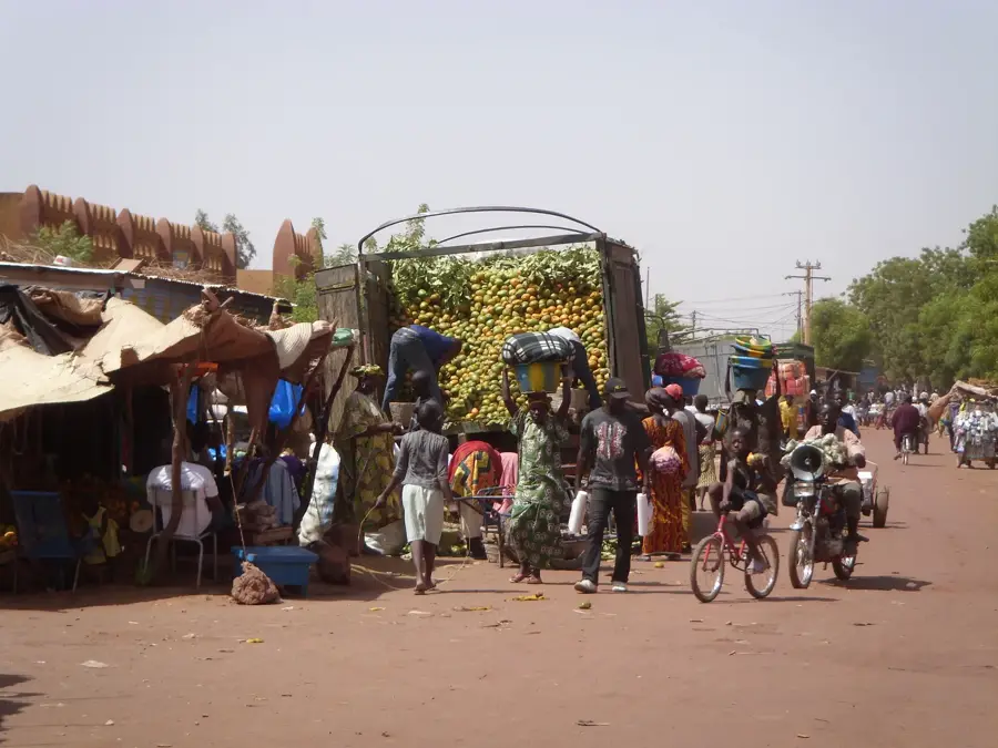
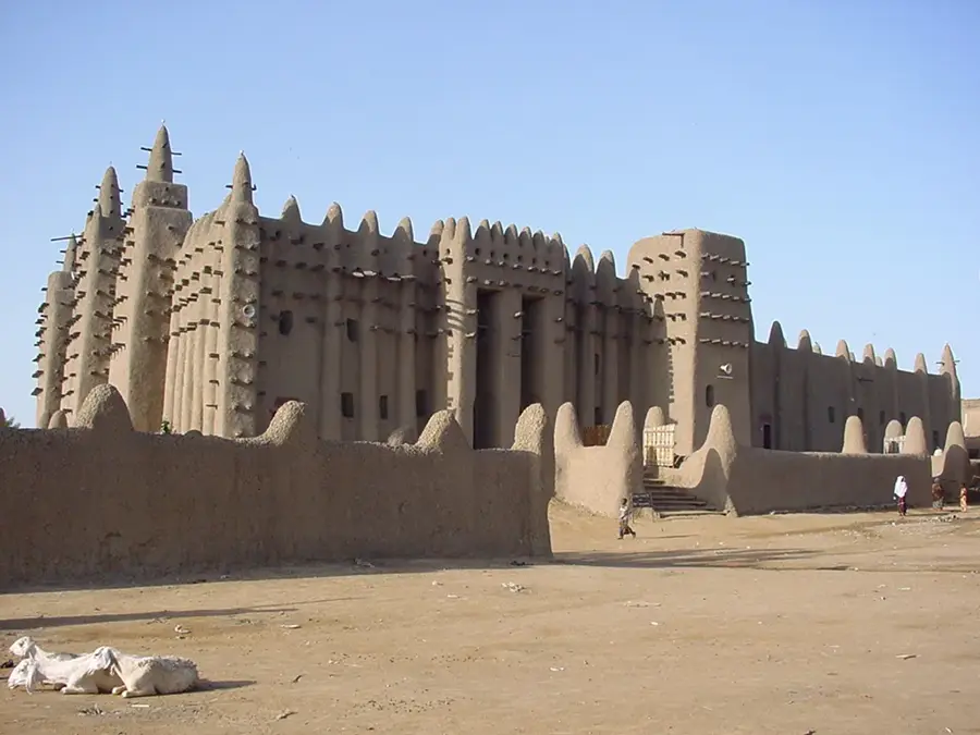
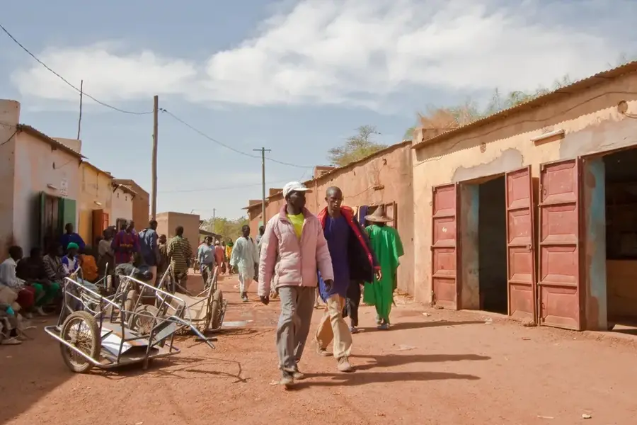
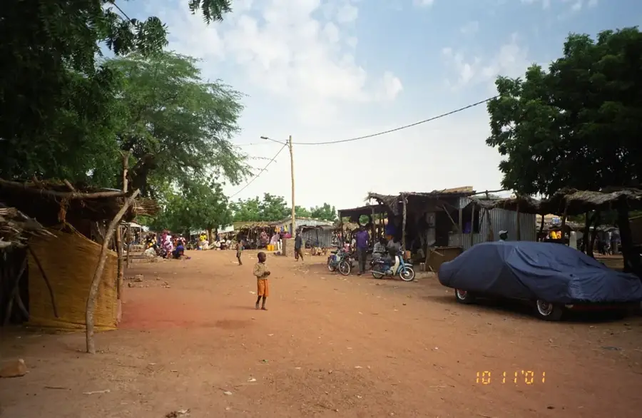
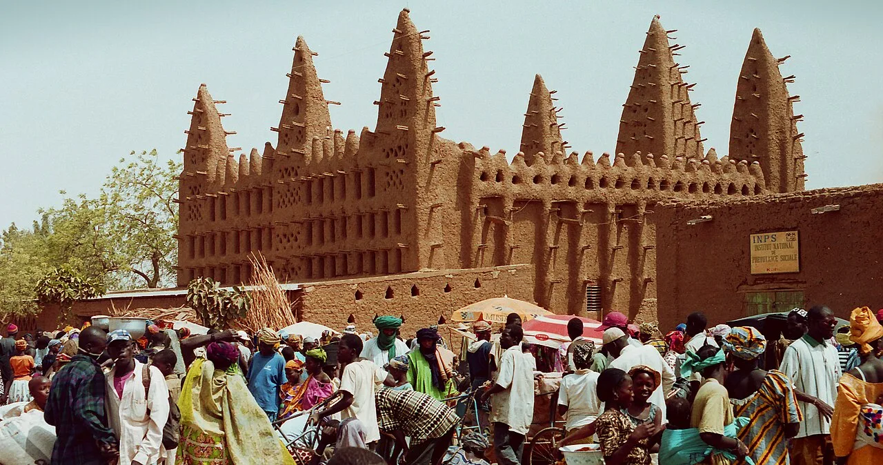
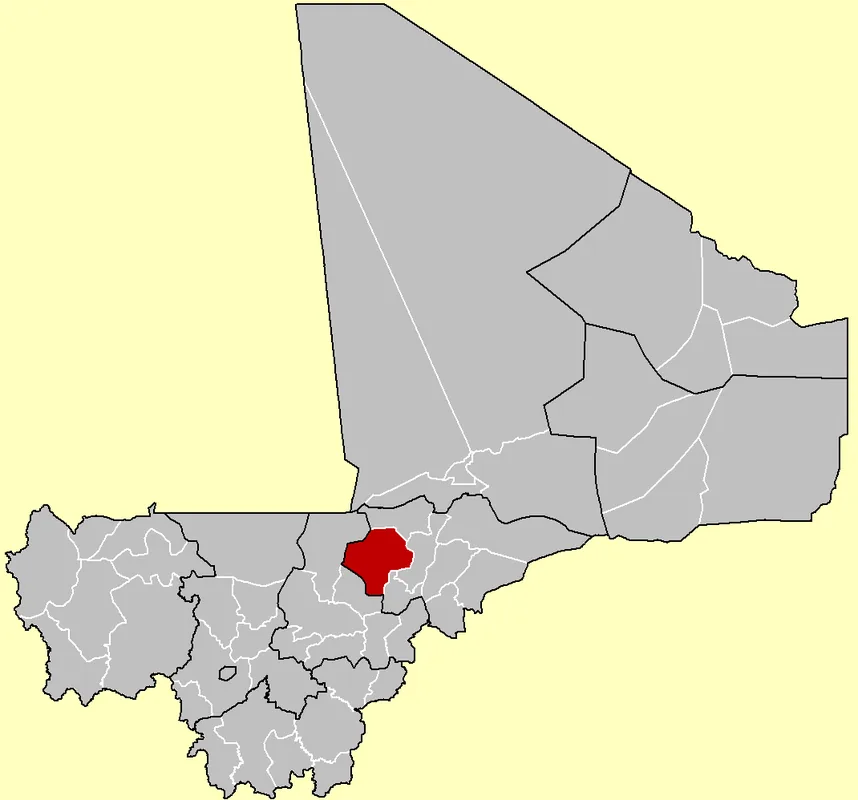
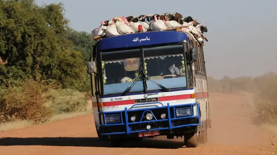
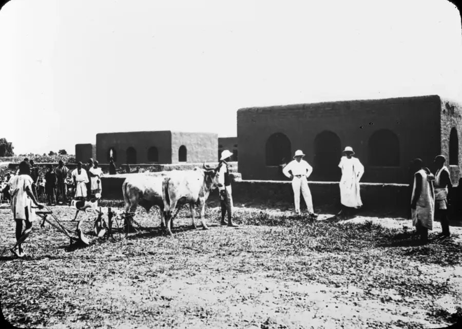
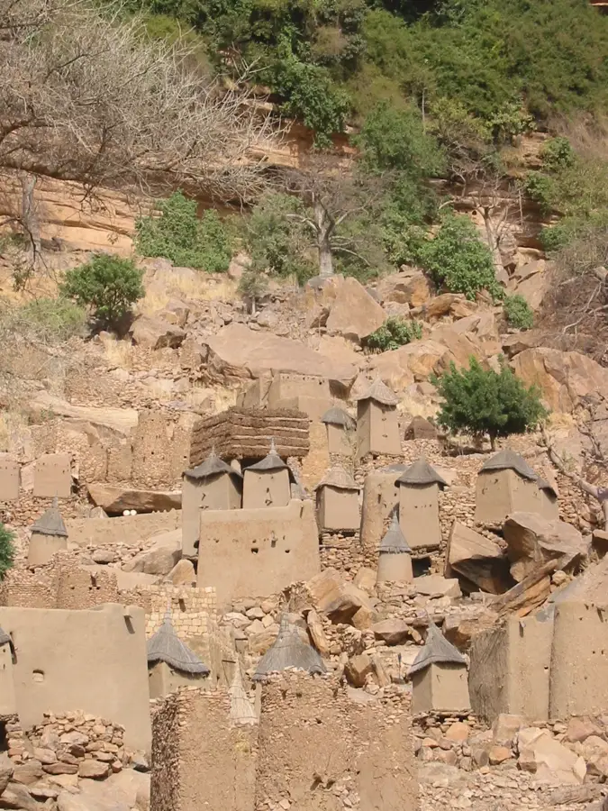
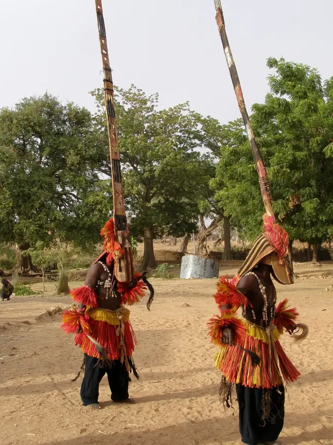
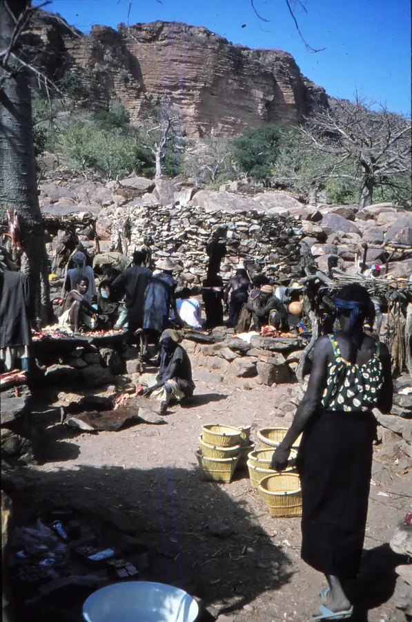
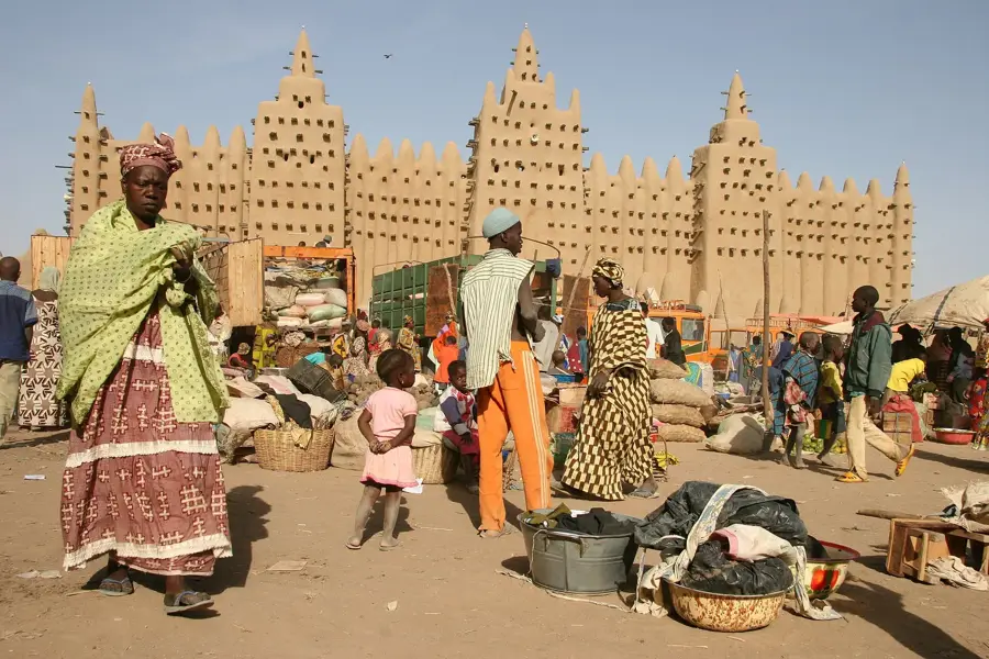
The Gondo Plain is an extensive sedimentary basin in eastern Mali, stretching between the striking Bandiagara Escarpment and the border with Burkina Faso. Geographically, the plain is characterized by its flat, sandy topography, only occasionally interrupted by isolated inselbergs. During the rainy season, parts of the plain transform into temporary wetlands that are of vital importance for the agriculture and livestock farming of the Peul and Dogon communities. Historically, the plain has been a space of interaction and sometimes conflict between sedentary farmers and nomadic herders. Vegetation consists primarily of open thorn savanna with acacias and scattered baobabs, all adapted to semi-arid conditions. The soil is often sandy and nutrient-poor, requiring residents to employ sophisticated irrigation and farming techniques. Today, the Gondo Plain serves as a major corridor for transhumant livestock movements in the central Sahel region.
Best time to visit & climate
The most pleasant time to visit is Jan, Feb, Dec.
| Jan | Feb | Mar | Apr | May | Jun | Jul | Aug | Sep | Oct | Nov | Dec | |
|---|---|---|---|---|---|---|---|---|---|---|---|---|
| Avg °C | 22 | 26 | 30 | 34 | 35 | 33 | 30 | 28 | 29 | 29 | 27 | 23 |
| Rain mm | 0 | 0 | 0 | 3 | 12 | 54 | 113 | 159 | 64 | 9 | 0 | 0 |
📋 Practical info
Geography
Facts
- The plain lies at an average elevation of approximately 300 meters above sea level.
- It geologically belongs to the Taoudeni Basin, the largest sedimentary basin in West Africa.
- During the dry season, temperatures on the plain can soar above 45 degrees Celsius.
- The area is famous for the traditional mud-hut villages of the Dogon people.
- A significant fossil groundwater aquifer is located beneath the plain.
- Annual rainfall varies significantly, typically ranging between 400 and 600 millimeters.
Explore nearby
Notable places around
Route planner — Car & Motorhome
Where do you start? We build the route here, with stops and country notes along the way.
© OpenStreetMap contributors · OpenRouteService
Sights nearby
Frequently asked questions
What is special about Gondo-Ebene?
Is there parking available?
Is the area child-friendly?
Is it very hot there?
Is it good for walking?
Gondo Plain: where is it located?
Gondo Plain: when is the best time to visit?
Gondo Plain: why is it worth visiting?

Nearby cities

History & landmarks

More places