Plizio Visual Lab
Ireli
Weather…
Water temperature…
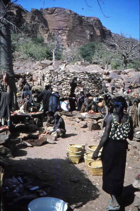
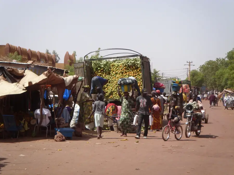
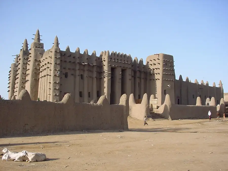
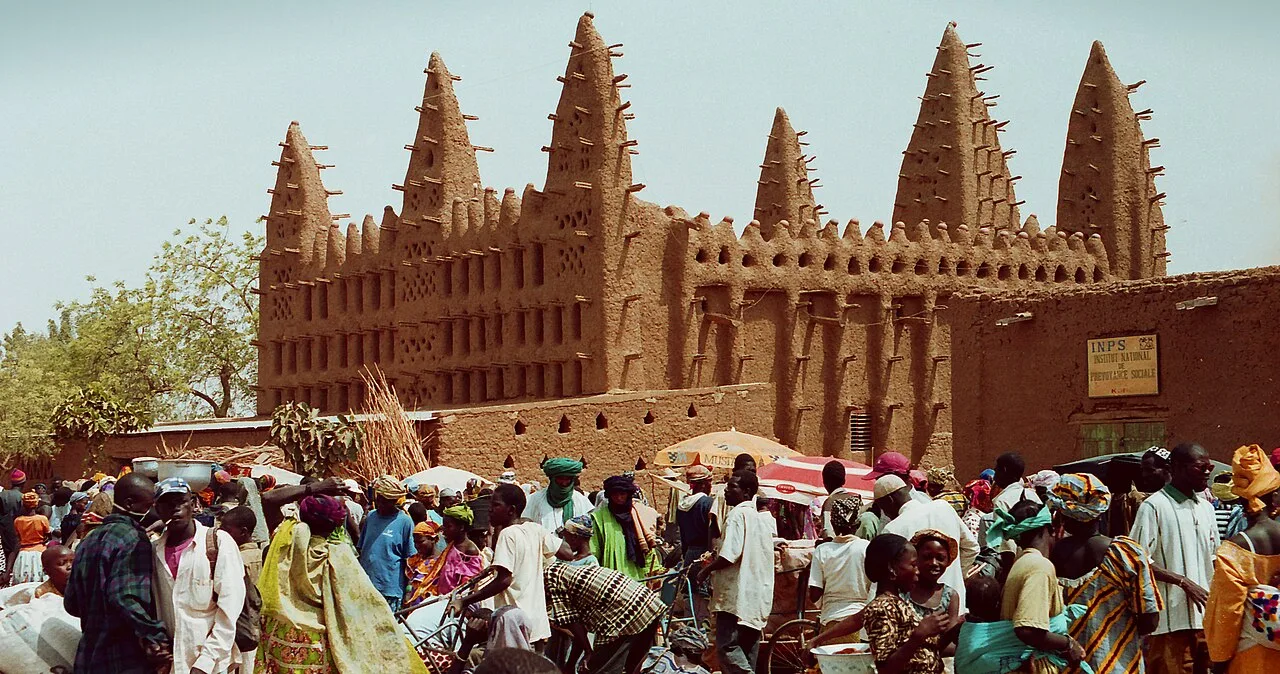
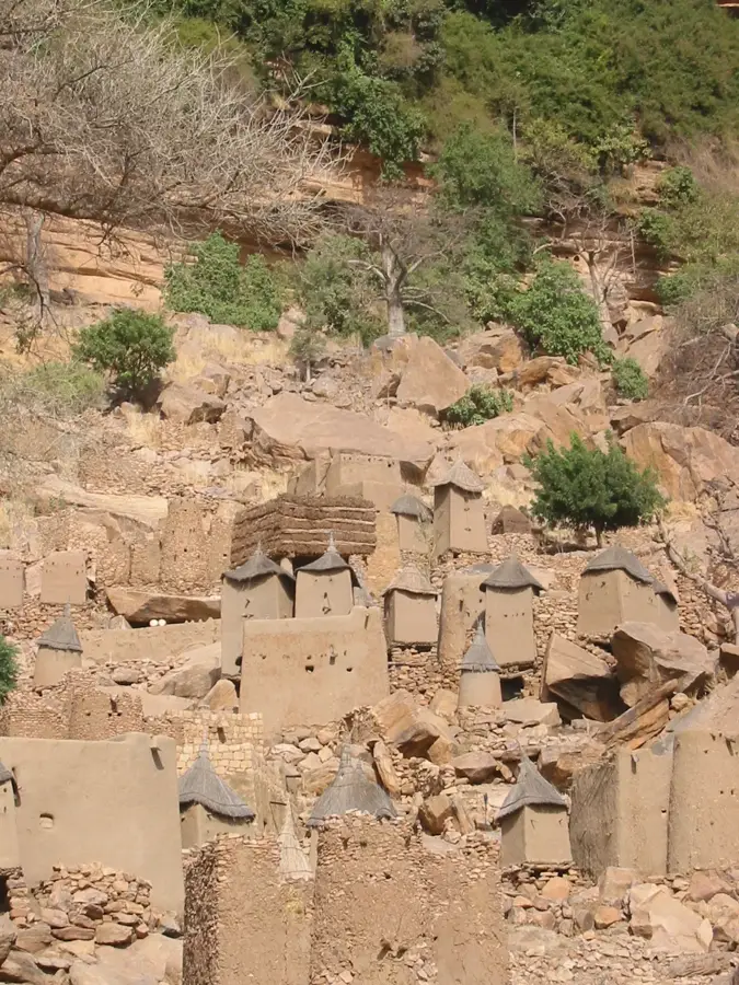
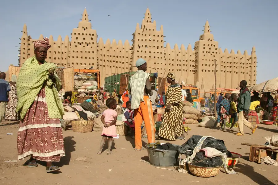
Ireli is widely regarded as the most beautiful village in Dogon Country. It stretches vertically along the slope of the Bandiagara Escarpment, featuring a complex array of mud buildings that cling to the rocky terrain. The architecture here is particularly ingenious, utilizing every ledge to create living spaces and granaries. The village is famous for its masterfully carved doors and window shutters, which are hallmarks of Dogon craftsmanship. High above the living quarters, the ancient Tellem burial sites are tucked into inaccessible crevices in the cliff face. Visiting Ireli provides a deep understanding of the Dogon cosmology and their unique social organization. The local diet centers on millet, beans, and wild-harvested fruits. Ireli is a key stop on trekking routes and is usually visited as part of a multi-day hike through the region. The best time to visit is between November and January, when the air is clearer and daytime temperatures are more moderate.
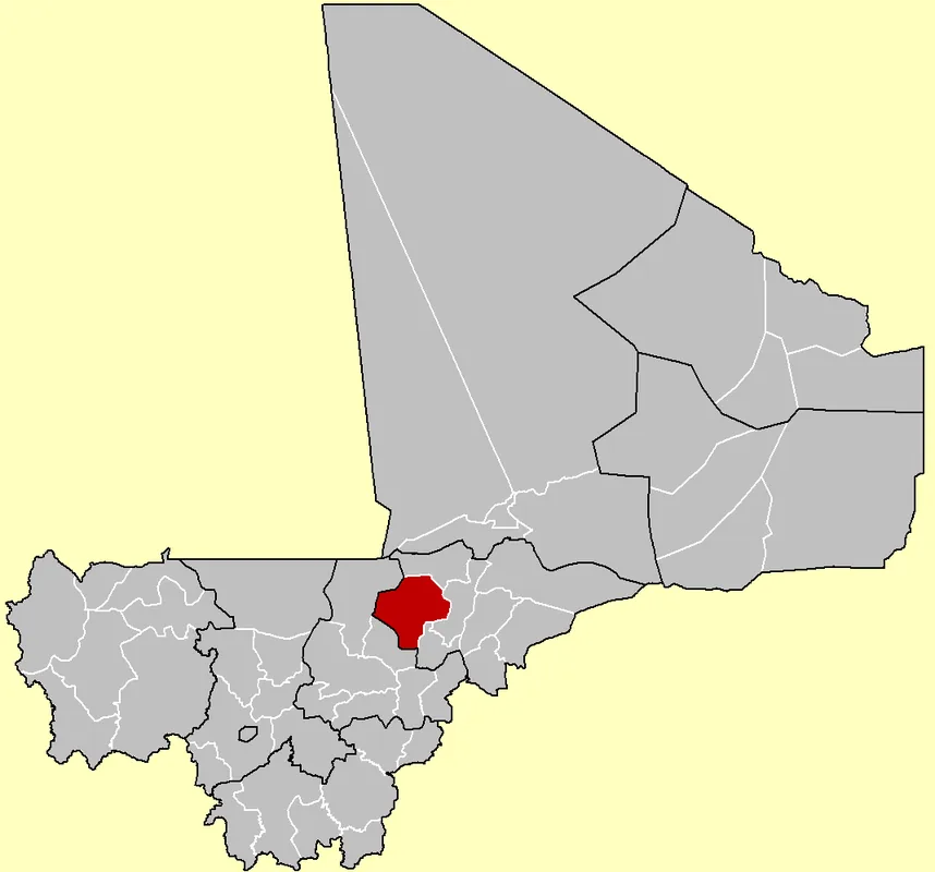
- Location: Mali
- Nearby: Bandiagara (34 km)
Best time to visit & climate
The most pleasant time to visit is Jan, Feb, Dec.
| Jan | Feb | Mar | Apr | May | Jun | Jul | Aug | Sep | Oct | Nov | Dec | |
|---|---|---|---|---|---|---|---|---|---|---|---|---|
| Avg °C | 23 | 26 | 30 | 33 | 34 | 32 | 29 | 27 | 27 | 28 | 26 | 24 |
| Rain mm | 0 | 0 | 0 | 7 | 18 | 72 | 149 | 201 | 98 | 20 | 1 | 0 |
📋 Practical info
Geography
Facts
- Most beautiful village in the region
- Vertical construction on slope
- Artfully carved wooden doors
- Ancient Tellem burial sites
- UNESCO World Heritage site
- Center for local handicrafts
- Major trekking highlight
- Unique rock formations
Explore nearby
Notable places around
Route planner — Car & Motorhome
Where do you start? We build the route here, with stops and country notes along the way.
© OpenStreetMap contributors · OpenRouteService
Sights nearby
Frequently asked questions
Ireli: where is it located?
Ireli: when is the best time to visit?
Ireli: why is it worth visiting?

Nearby cities


History & landmarks


More places