Plizio Visual Lab
Yatenga Foothills
Weather…
Water temperature…
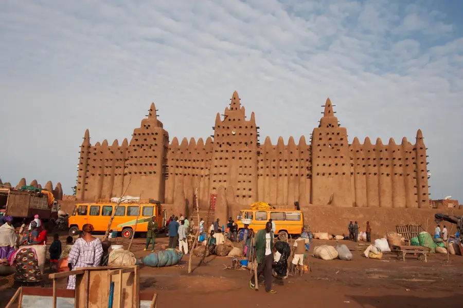
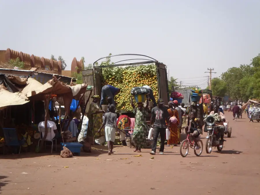
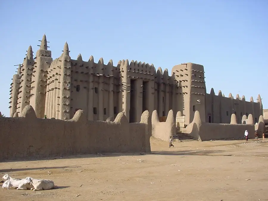
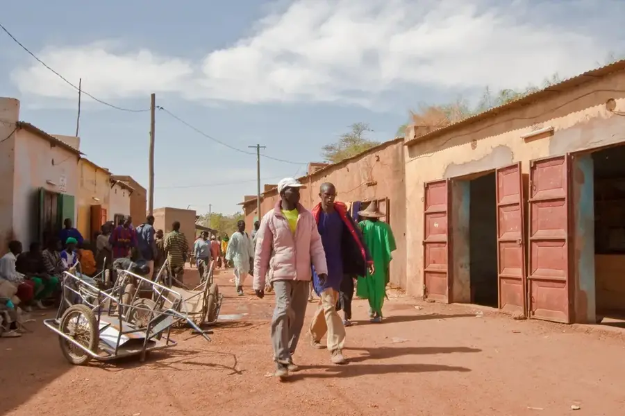
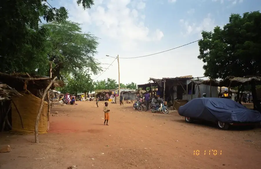
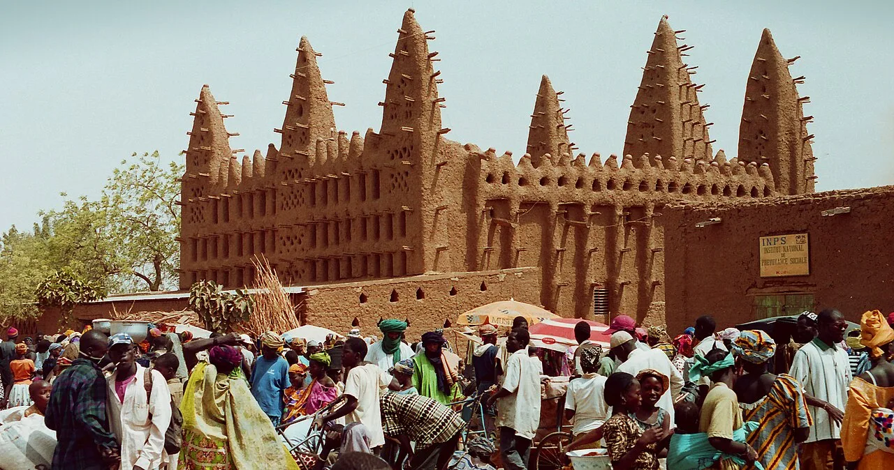
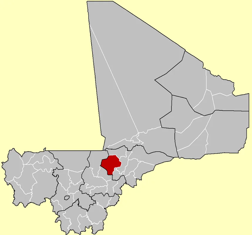
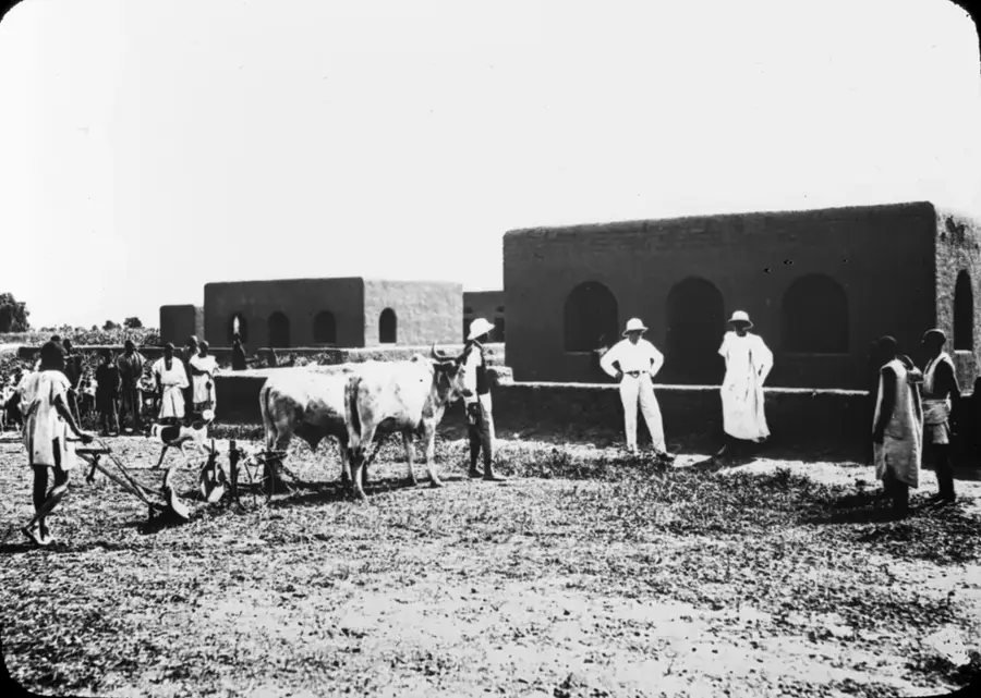
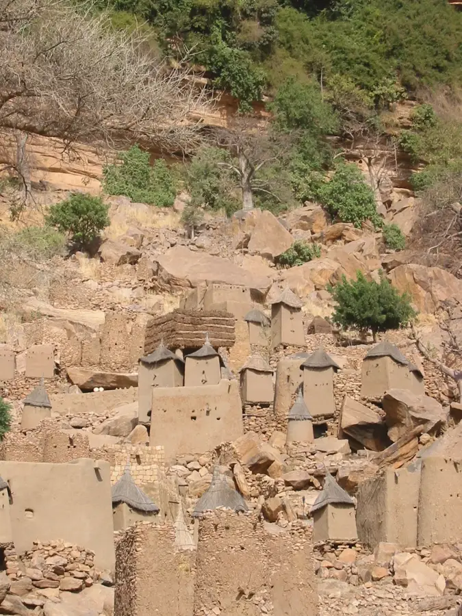
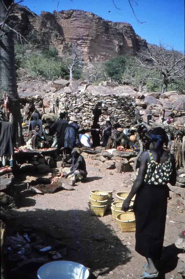
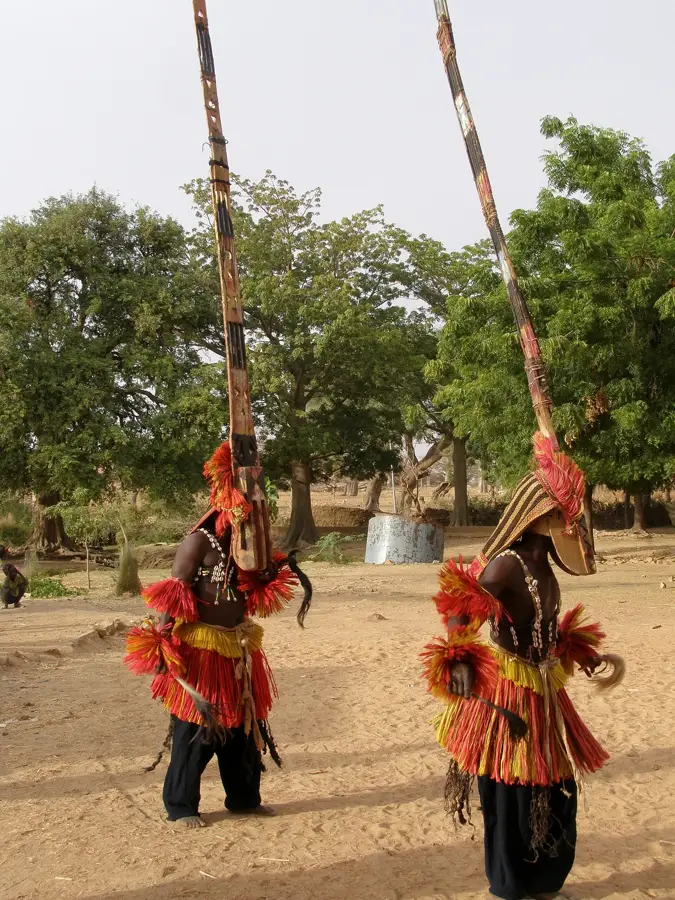
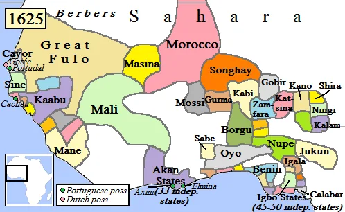
The Yatenga Foothills stretch across northern Burkina Faso, extending into the borderlands of southern Mali. This region was the heartland of the historic Yatenga Kingdom, one of the most powerful Mossi states founded in the 14th century. Geographically, the area is characterized by lateritic plateaus and gentle hill ranges carved from the ancient crystalline basement by long-term erosion. The landscape is typical of the Sahel, featuring sparse vegetation such as thorny shrubs and baobab trees adapted to extreme drought conditions. Average elevations are around 300 meters, with prominent hilltops serving as vital landmarks in the otherwise flat surrounding plains. In modern times, the Yatenga Foothills have gained recognition for innovative indigenous agricultural techniques, such as the 'Zaï' method, used to combat desertification and improve soil fertility. The region remains a cultural bastion for the Mossi people, where traditional leadership structures and ceremonies continue to play a central role in communal life.
- Location: Mali
- Nearby: Koro (63 km)
Best time to visit & climate
The most pleasant time to visit is Jan, Feb, Dec.
| Jan | Feb | Mar | Apr | May | Jun | Jul | Aug | Sep | Oct | Nov | Dec | |
|---|---|---|---|---|---|---|---|---|---|---|---|---|
| Avg °C | 23 | 26 | 30 | 33 | 35 | 33 | 29 | 27 | 27 | 29 | 27 | 24 |
| Rain mm | 0 | 0 | 1 | 7 | 23 | 77 | 154 | 215 | 107 | 23 | 0 | 0 |
📋 Practical info
Geography
Facts
- Ouahigouya, the capital of Yatenga, was founded in 1757.
- The region is famous for the 'Zaï' indigenous soil restoration technique.
- The average elevation of the foothills is between 300 and 350 meters.
- The Yatenga Kingdom was a major rival to the Songhai Empire in history.
- Annual rainfall in the area averages between 400 and 600 mm.
- Geologically, the area is part of the ancient West African Craton.
Explore nearby
Notable places around
Route planner — Car & Motorhome
Where do you start? We build the route here, with stops and country notes along the way.
© OpenStreetMap contributors · OpenRouteService
Sights nearby
Frequently asked questions
What characterizes the Yatenga-Ausläufer?
Is hiking safe here?
When is the landscape greenest?
Are there places for refreshment?
Is it reasonable to travel by bicycle?
Yatenga Foothills: where is it located?
Yatenga Foothills: when is the best time to visit?
Yatenga Foothills: why is it worth visiting?

Nearby cities


History & landmarks


More places