Plizio Visual Lab
Sanga
Weather…
Water temperature…
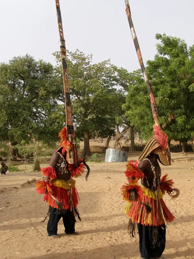
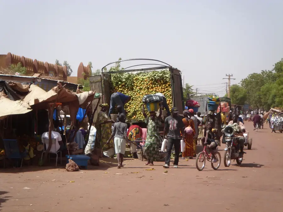
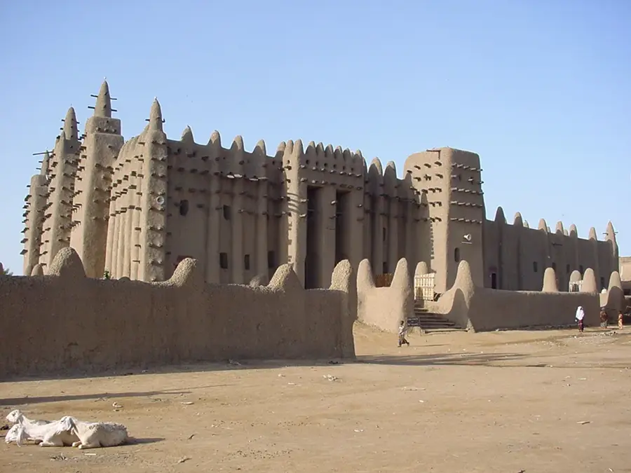
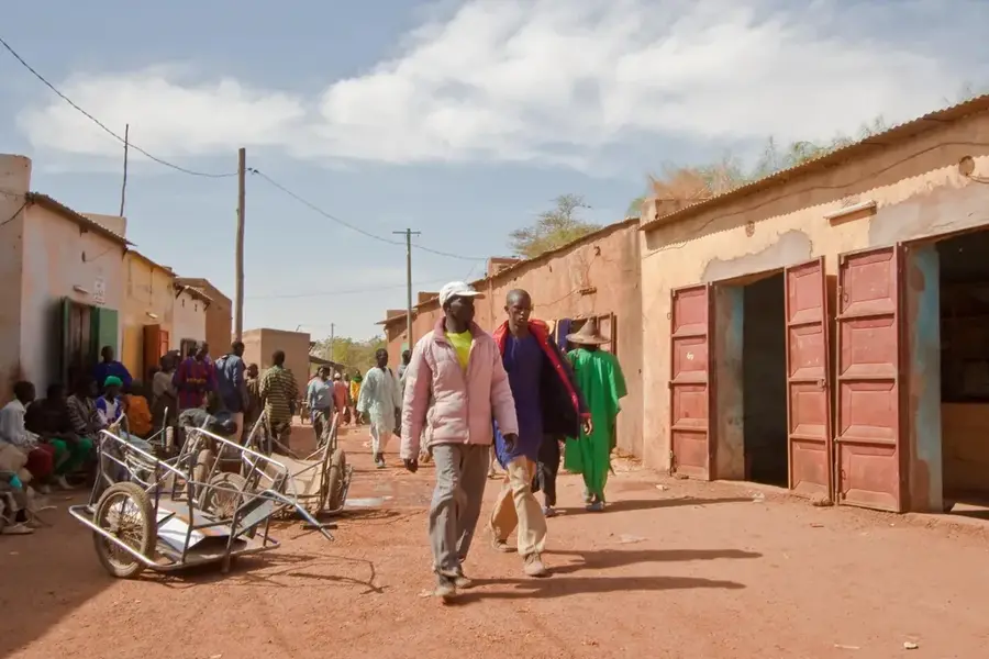
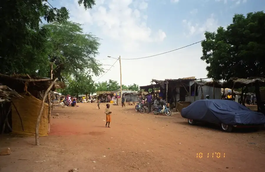
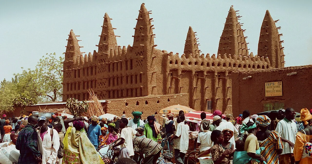
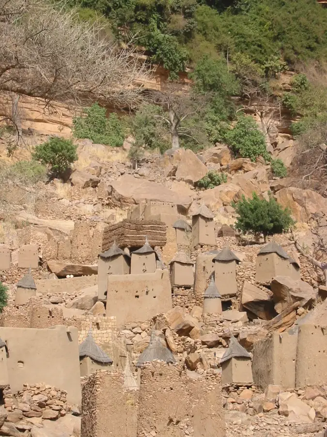
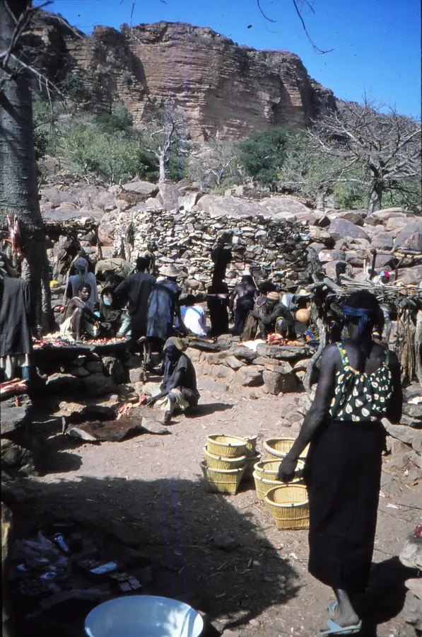
Sanga is the primary gateway for travelers exploring the mystical Dogon Country in Mali. Located on the upper plateau of the Bandiagara Escarpment, it comprises several traditional quarters known for their unique mud-brick architecture and intricate granaries. It remains a living museum of Dogon mythology and ancestral rituals. Visitors are drawn to Sanga to witness the famous mask dances and to see the Toguna, low-roofed structures where elders meet to discuss village matters. The surrounding cliffs house ancient Tellem caves, which predate the Dogon settlement. The landscape is a UNESCO World Heritage site, offering some of the most dramatic trekking routes in West Africa. The local cuisine is simple, centered around millet and sauces made from local herbs like baobab leaves. Reaching Sanga usually involves a rugged journey from Mopti by 4WD vehicle. The best time to visit is from November to February, when the weather is cooler and more suitable for exploring the cliffside trails on foot.
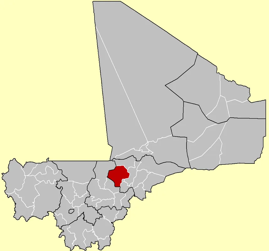
- Location: Mali
- Nearby: Bandiagara (36 km)
Best time to visit & climate
The most pleasant time to visit is Jan, Feb, Dec.
| Jan | Feb | Mar | Apr | May | Jun | Jul | Aug | Sep | Oct | Nov | Dec | |
|---|---|---|---|---|---|---|---|---|---|---|---|---|
| Avg °C | 23 | 26 | 30 | 33 | 34 | 32 | 29 | 27 | 27 | 28 | 26 | 24 |
| Rain mm | 0 | 0 | 0 | 7 | 18 | 72 | 149 | 201 | 98 | 20 | 1 | 0 |
📋 Practical info
Geography
Facts
- UNESCO World Heritage site
- Heart of Dogon culture
- On the Bandiagara Escarpment
- Famous for mask dances
- Unique Toguna council houses
- Traditional mud architecture
- Hub for trekking tours
- Living animist traditions
Explore nearby
Notable places around
Route planner — Car & Motorhome
Where do you start? We build the route here, with stops and country notes along the way.
© OpenStreetMap contributors · OpenRouteService
Sights in the town Sanga (1)
Sights nearby
Frequently asked questions
Sanga: where is it located?
Sanga: when is the best time to visit?
Sanga: why is it worth visiting?

Nearby cities


History & landmarks

More places