Plizio Visual Lab
Banani
Weather…
Water temperature…
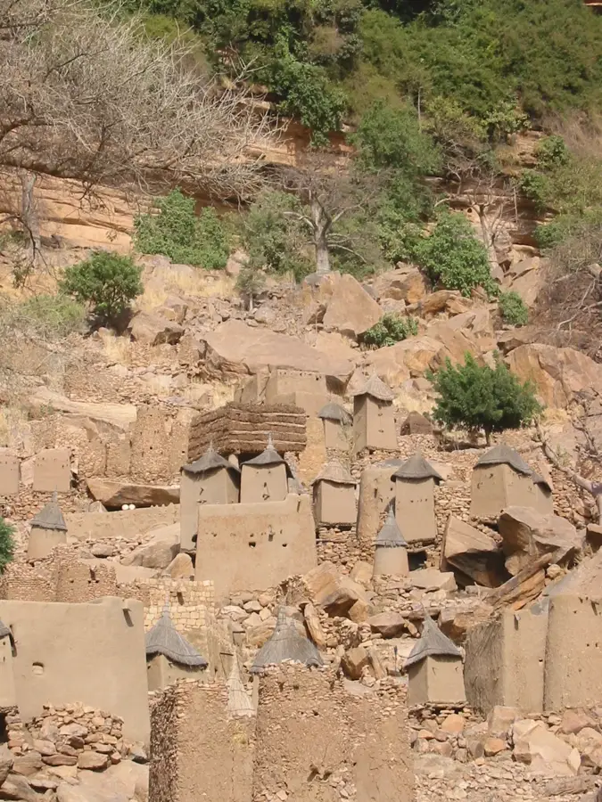
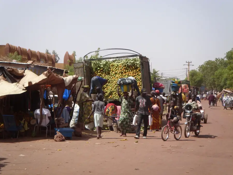
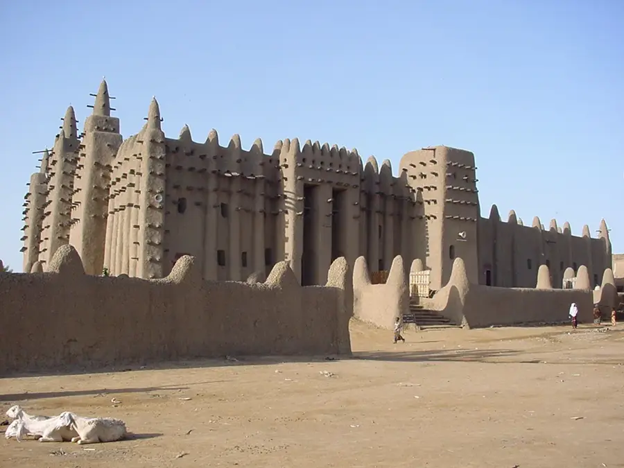
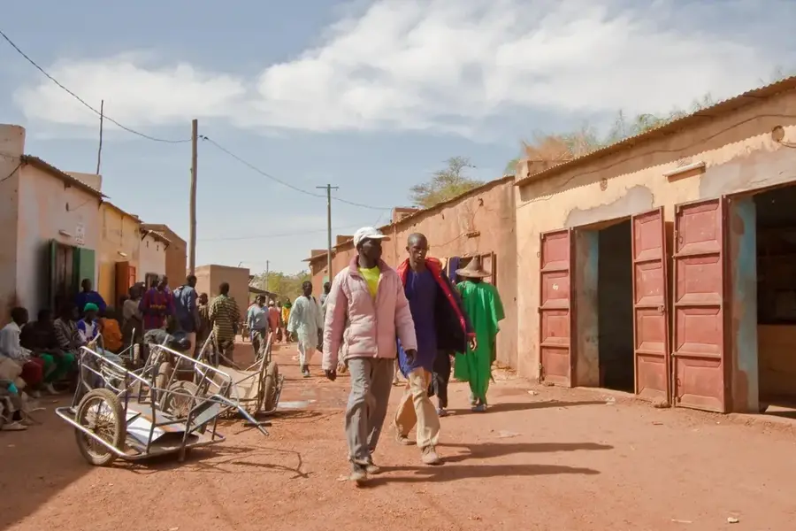
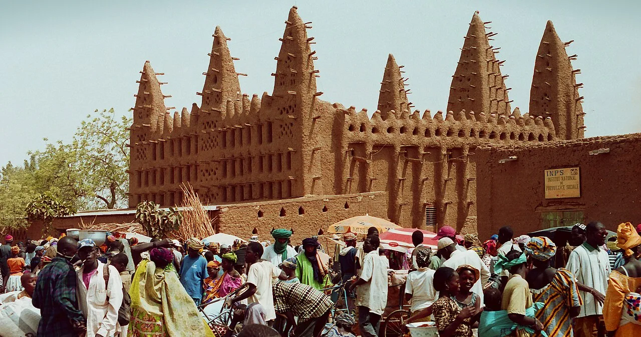
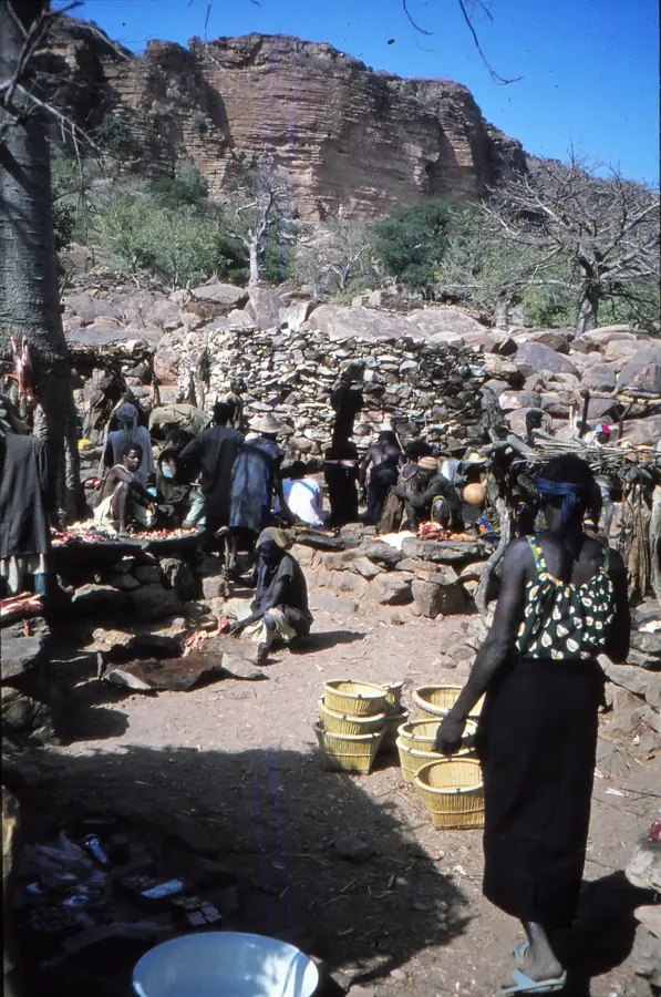
Banani is one of the most visually memorable villages in Dogon Country, situated dramatically at the base of the Bandiagara Escarpment. The mud-walled houses and granaries seem to emerge directly from the reddish rock, while ancient Tellem cave dwellings are visible in the cliffs high above. It is a masterpiece of human adaptation to a rugged environment. The villagers are primarily known for onion farming, utilizing small, carefully irrigated terraces at the foot of the cliff. Walking through Banani gives a glimpse into traditional life, social structures, and ancient storage methods for grain. The village is a key highlight for trekkers traveling along the cliffside paths. The local diet relies heavily on millet porridge and fresh onions grown in the village gardens. Banani is most easily reached on foot by descending the steep trails from Sanga on the plateau. The best time to visit is during the dry season from November to February, when the weather is convenient for trekking and photography.
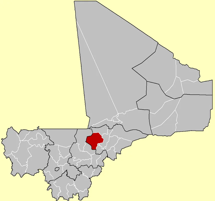
- Location: Mali
- Nearby: Bandiagara (38 km)
Best time to visit & climate
The most pleasant time to visit is Jan, Feb, Dec.
| Jan | Feb | Mar | Apr | May | Jun | Jul | Aug | Sep | Oct | Nov | Dec | |
|---|---|---|---|---|---|---|---|---|---|---|---|---|
| Avg °C | 23 | 26 | 30 | 33 | 34 | 32 | 29 | 27 | 27 | 28 | 26 | 24 |
| Rain mm | 0 | 0 | 0 | 7 | 18 | 72 | 149 | 201 | 98 | 20 | 1 | 0 |
📋 Practical info
Geography
Facts
- At the foot of the Bandiagara cliff
- Tellem caves in the rock face
- Terraced onion gardens
- Traditional Dogon architecture
- Popular photography spot
- Accessible by foot or 4WD
- Ancient granaries
- UNESCO cultural landscape
Explore nearby
Notable places around
Route planner — Car & Motorhome
Where do you start? We build the route here, with stops and country notes along the way.
© OpenStreetMap contributors · OpenRouteService
Sights in the town Banani (1)
Sights nearby
Frequently asked questions
Banani: where is it located?
Banani: when is the best time to visit?
Banani: why is it worth visiting?

Nearby cities


History & landmarks

More places