Plizio Visual Lab
Dogondoutchi
ℹ️Practical info — Dogondoutchi
▾
🌤 Weather — 5 days
📍 Nearby
Sights nearby
💡 Tips
- Climb the prominent Doutchi hill at sunrise or sunset for incredible views and cooler temperatures.
- Dress very modestly (shoulders and knees covered) to respect the Islamic traditions in this Sahelian town.
- Bring enough cash for your entire stay, as reliable ATMs are virtually non-existent.
- Stay strictly hydrated, as the Sahel sun is intense and dry throughout the day.
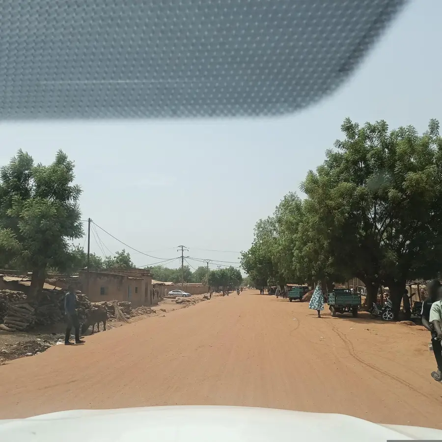
- Look out for the unique architectural blend of traditional mud-brick houses and newer structures.
🍽 Food
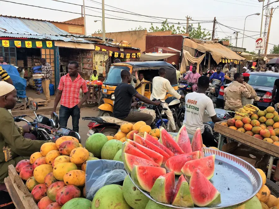
Try this local staple (Tigadèguèna) at the small food stalls near the market.
Enjoy excellent grilled mutton around the central market area in the evening.
A thick millet porridge often served with okra sauce; a true local dining experience.
🛍 Shopping · 🧘 Quiet spots
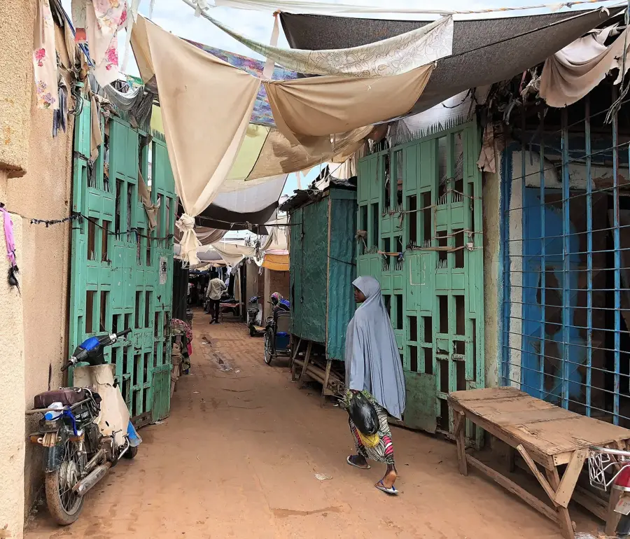
You will find beautifully handcrafted leather belts, bags, and sandals in the market.
Explore the stalls selling spices and medicinal herbs often linked to the local animist and Islamic cultures.
Find a quiet spot on the lower slopes for a view over the town away from the noise.
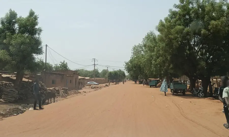
During the dry season, the dried riverbeds outside the town provide a peaceful place for a walk.
Water temperature…
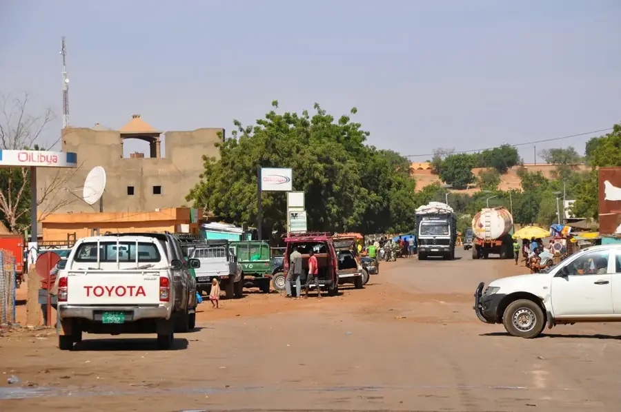
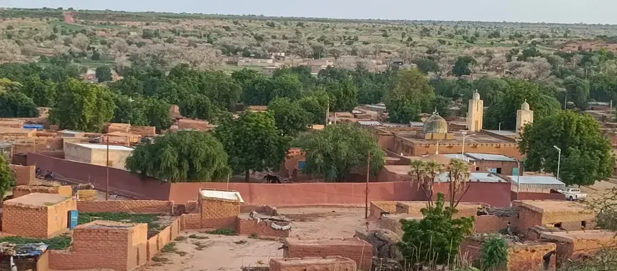
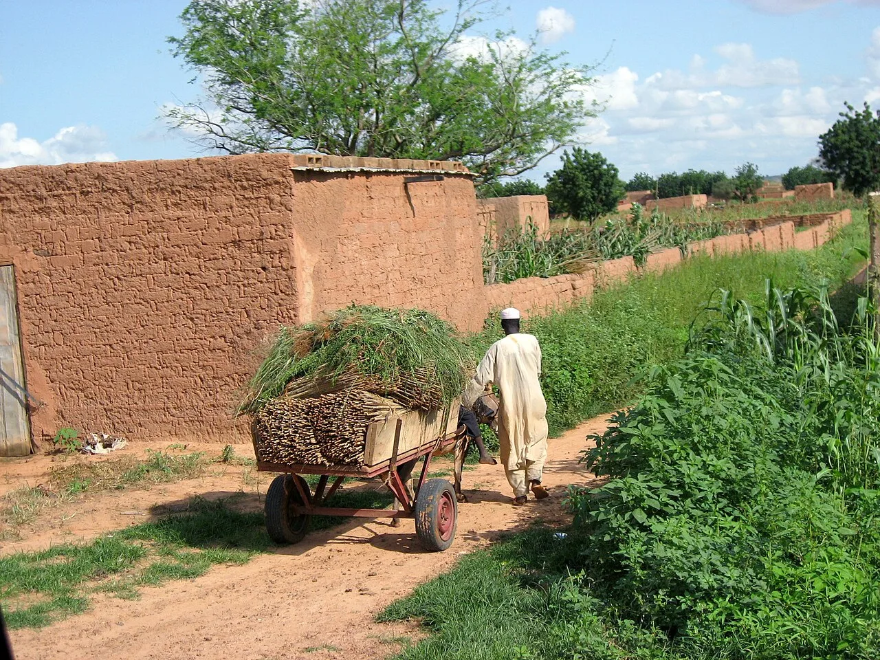
Dogondoutchi is a culturally captivating city in southwestern Niger and the capital of the Dogondoutchi Department. The city is celebrated as the heartland of the Mawri people, a subgroup of the Hausa known for their unique preservation of pre-Islamic religious practices and traditions. Geographically, the town's identity is shaped by the striking rocky outcrops that surround it, from which its name ('High Stone' in Hausa) is derived. Located strategically along the N1 highway between Niamey and Birni-Nkonni, it serves as a vital trade and transportation node. The local economy revolves around agriculture, particularly the cultivation of millet and cowpeas, as well as regional commerce. Dogondoutchi is also a hub for agricultural research and rural development initiatives. The city is a model of religious coexistence, where traditional beliefs, Islam, and Christianity interact within the community. This cultural richness is reflected in local festivals and the city's dynamic social life.
- Location: Niger
- Nearby: Loga (85 km)
- Population: ~50.037 (2024)
Best time to visit & climate
The most pleasant time to visit is Jan, Feb, Dec.
| Jan | Feb | Mar | Apr | May | Jun | Jul | Aug | Sep | Oct | Nov | Dec | |
|---|---|---|---|---|---|---|---|---|---|---|---|---|
| Avg °C | 23 | 27 | 30 | 34 | 34 | 32 | 29 | 27 | 27 | 28 | 27 | 24 |
| Rain mm | 0 | 0 | 1 | 4 | 22 | 77 | 135 | 198 | 90 | 16 | 0 | 0 |
Geography
Facts
- The name Dogondoutchi translates to 'High Stone' in the Hausa language.
- The city is located about 270 kilometers east of Niamey.
- The Mawri people are famous for their adherence to traditional animist rites.
- Dogondoutchi is a significant site for research into desert agriculture.
- The town is framed by distinctive and culturally significant rocky hills.
- It serves as a major hub for the grain trade in southern Niger.
Explore nearby
Notable places around
Route planner — Car & Motorhome
Where do you start? We build the route here, with stops and country notes along the way.
© OpenStreetMap contributors · OpenRouteService
Sights in the town Dogondoutchi (1)
Frequently asked questions
What characterizes Dogondoutchi?
Are there markets to visit?
When is the best time to travel?
Is it family-friendly?
How do I get to Dogondoutchi?
Dogondoutchi: where is it located?
Dogondoutchi: when is the best time to visit?
Dogondoutchi: why is it worth visiting?

Nearby cities

History & landmarks
Nature
More places