Plizio Visual Lab
Dallol Fogha
Weather…
Water temperature…
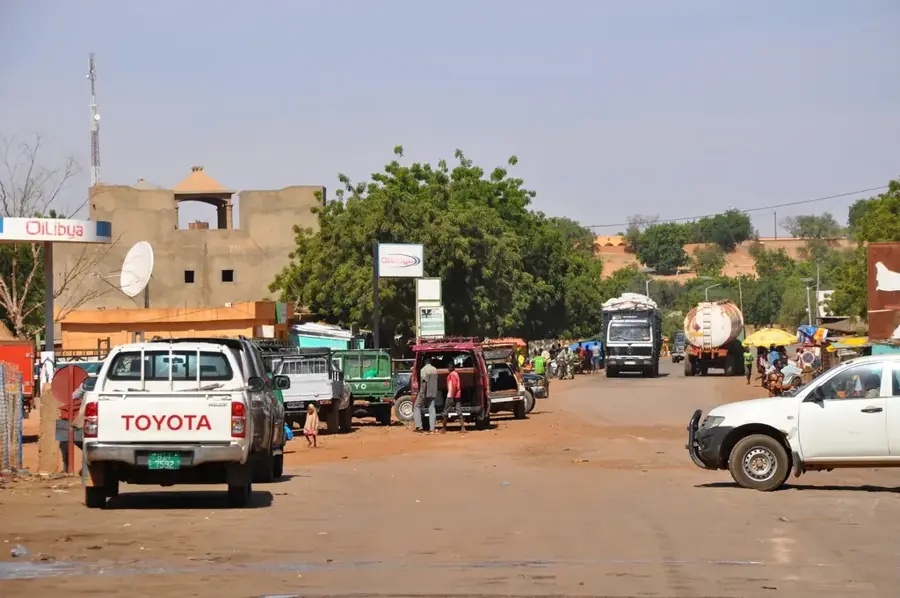
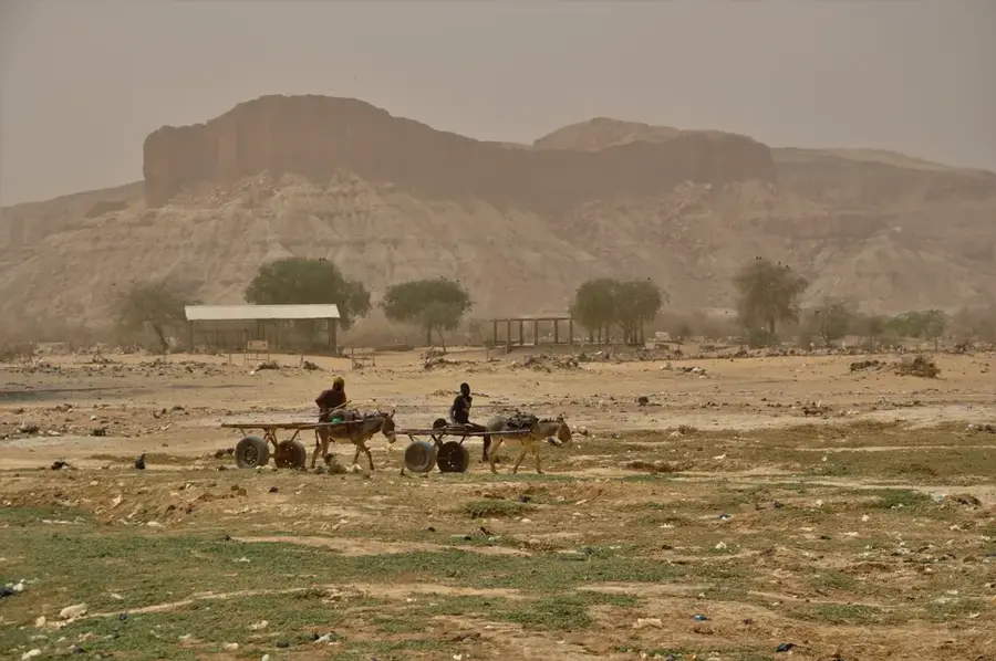
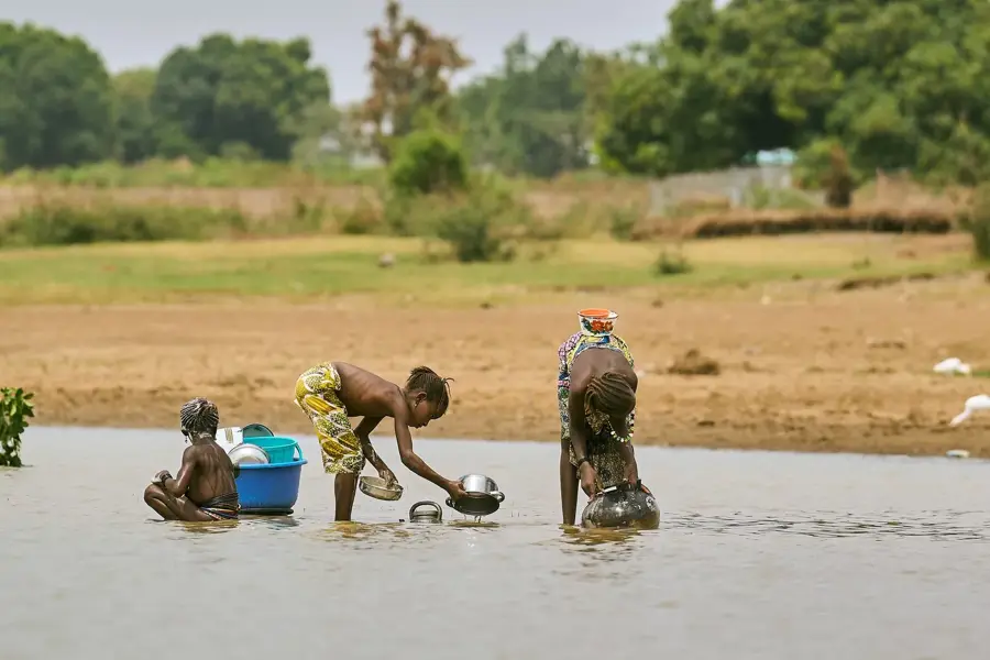
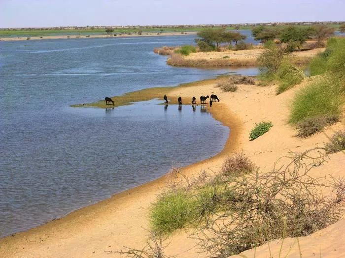
Dallol Fogha is a significant fossil river valley in southwestern Niger, forming part of an extensive network of ancient watercourses that were active during the Sahara's humid periods. Geologically, it is a depression that today primarily carries seasonal water and plays a crucial role in the local ecosystem. During the rainy season, the valley partially fills with water, enabling vegetation growth and providing a vital resource for nomads and their livestock. The soils in Dallol Fogha are often saline, which has led to the development of local salt extraction traditions practiced by resident communities for generations. The valley also serves as an important corridor for wildlife migration and hosts a variety of bird species. During the colonial era, the area was mapped for its agricultural potential in the wetter zones. Today, it faces challenges from desertification and falling groundwater levels, yet remains a culturally and ecologically indispensable part of the Dosso region.
- Location: Niger
- Nearby: Dogondoutchi (16 km)
Best time to visit & climate
The most pleasant time to visit is Jan, Feb, Dec.
| Jan | Feb | Mar | Apr | May | Jun | Jul | Aug | Sep | Oct | Nov | Dec | |
|---|---|---|---|---|---|---|---|---|---|---|---|---|
| Avg °C | 23 | 27 | 30 | 34 | 34 | 32 | 29 | 27 | 27 | 28 | 27 | 24 |
| Rain mm | 0 | 0 | 1 | 4 | 22 | 77 | 135 | 198 | 90 | 16 | 0 | 0 |
📋 Practical info
Geography
Facts
- It belongs to the Iullemmeden sedimentary basin structure.
- Seasonal water flow typically occurs between July and September.
- Traditional salt extraction is a primary local income source.
- The valley extends over several hundred kilometers in length.
- Important resting place for migratory birds on the African route.
- The groundwater table has dropped significantly over 30 years.
Explore nearby
Notable places around
Route planner — Car & Motorhome
Where do you start? We build the route here, with stops and country notes along the way.
© OpenStreetMap contributors · OpenRouteService
Sights in the town Dallol Fogha (1)
Sights nearby
Frequently asked questions
Can you swim in Dallol Fogha?
Is the area around the river family-friendly?
How can I reach Dallol Fogha?
Are there food options available?
When does the river have the most water?
Dallol Fogha: where is it located?
Dallol Fogha: when is the best time to visit?
Dallol Fogha: why is it worth visiting?