Plizio Visual Lab
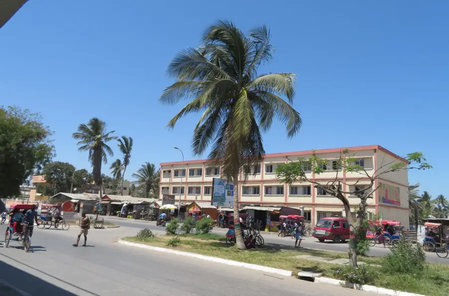
Betroka
ℹ️Practical info — Betroka
▾
🌤 Weather — 5 days
📍 Nearby
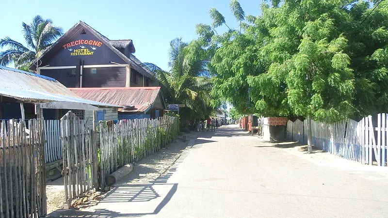
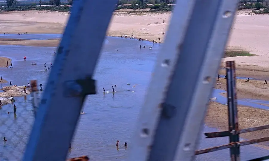
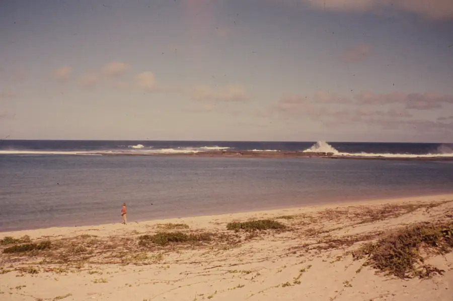
Sights nearby
💡 Tips
- Bring a mask or scarf, as the dirt roads can get very dusty, especially during the dry season.
- Carry small denominations of Malagasy Ariary, as getting change for large bills is difficult here.
- Visit the local markets early in the morning when they are most lively and the weather is cooler.
- Embrace the slow pace of life; transport and services often operate on 'Mora Mora' (slowly, slowly) time.
🍽 Food
The staple meal of rice with a side dish (like zebu meat or beans), found at any local 'hotely' (eatery).
Look for street vendors selling this sweet snack made from ground peanuts, rice flour, and sugar wrapped in banana leaves.
Buy fresh lychees, mangoes, or bananas directly from the central market depending on the season.
🛍 Shopping · 🧘 Quiet spots
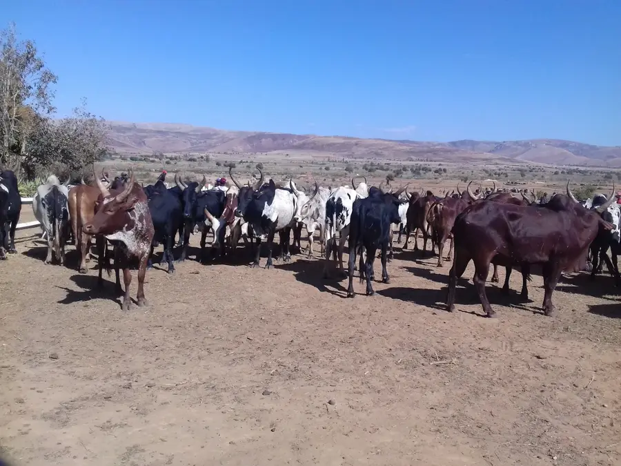
Witness the local cattle trade on market days, an important part of the region's economy and culture.
Pick up affordable vanilla beans or local peppercorns from the town's main market area.
Walk towards the edges of town where the landscape opens up to calm river views and surrounding hills.
Find a quiet spot under a large tree away from the bustling market center to rest during the midday heat.
Water temperature…
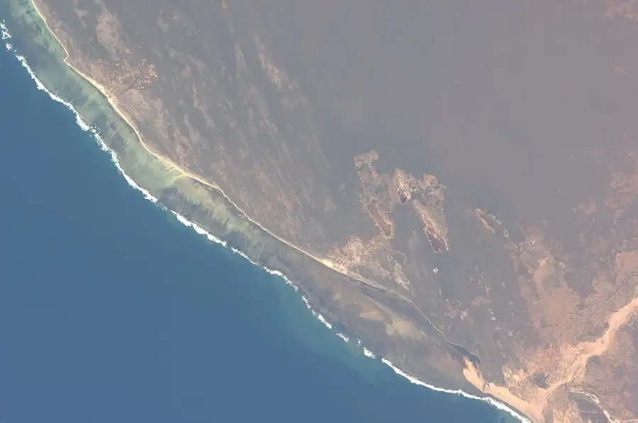
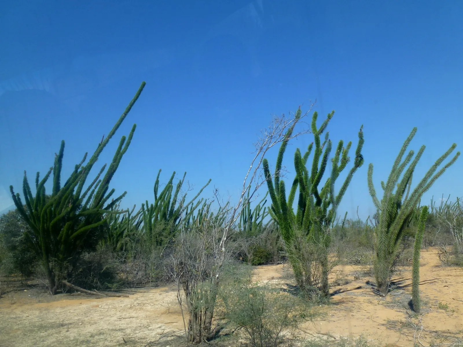
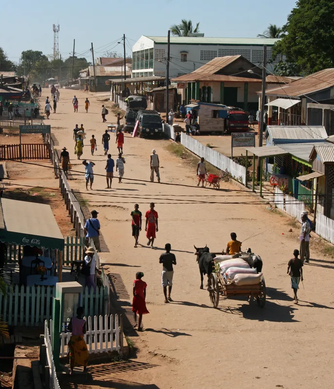
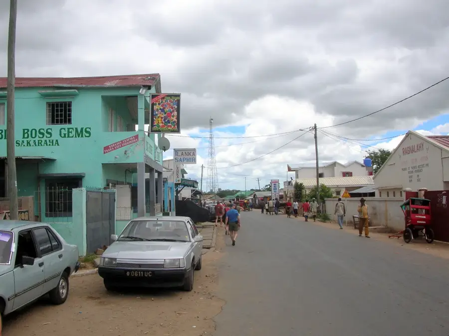
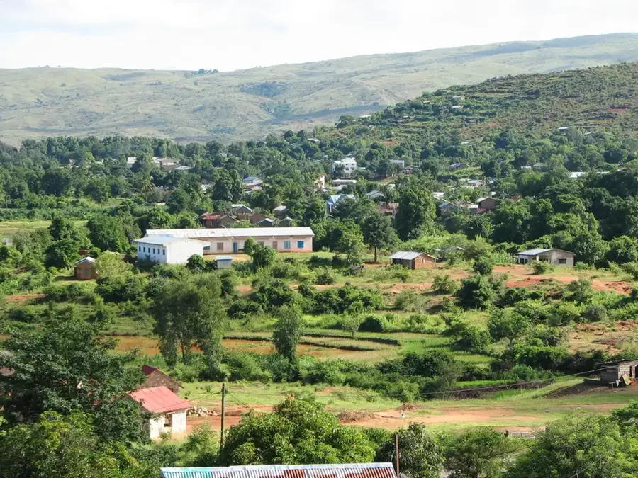
Betroka is located in south-central Madagascar, situated in a remote region between the highlands and the arid southern tip of the island. The town is a significant cultural hub for the Bara people, where daily life revolves around zebu cattle herding and ancient pastoral traditions. Historically, Betroka gained importance as a center for mica mining, which brought economic activity to this isolated inland territory. Geographically, it lies on the National Road 13 (RN13), known as one of Madagascar’s most challenging yet scenic transport routes. The surrounding landscape is defined by rugged mountains and vast savannas where Bara herdsmen graze their cattle. In the past, the region faced security challenges due to cattle raiding, which shaped the social structure and defensive architecture of local communities. Today, Betroka acts as a vital marketplace for livestock and agricultural goods from the surrounding rural districts. Its relative isolation has preserved many traditional Bara customs in their most authentic form. Despite infrastructure difficulties, the town remains an essential administrative and economic anchor in the deep south.
- Location: Madagascar
- Nearby: Ihosy (67 km)
- Population: ~18.350 (2023)
Best time to visit & climate
The most pleasant time to visit is Sep–Nov.
| Jan | Feb | Mar | Apr | May | Jun | Jul | Aug | Sep | Oct | Nov | Dec | |
|---|---|---|---|---|---|---|---|---|---|---|---|---|
| Avg °C | 21 | 21 | 20 | 18 | 16 | 14 | 13 | 15 | 16 | 19 | 21 | 22 |
| Rain mm | 278 | 216 | 181 | 104 | 79 | 61 | 63 | 50 | 43 | 82 | 127 | 229 |
Geography
Facts
- Major cultural hub for the Bara people in the south
- Historically significant for its mica mining industry
- Located on the remote National Road 13 (RN13)
- Central market for cattle and agricultural trade
- Gateway to the isolated Kalambatritra mountain massif
- The name translates to 'Plenty of Bellies' in Malagasy
Explore nearby
Notable places around
Route planner — Car & Motorhome
Where do you start? We build the route here, with stops and country notes along the way.
© OpenStreetMap contributors · OpenRouteService
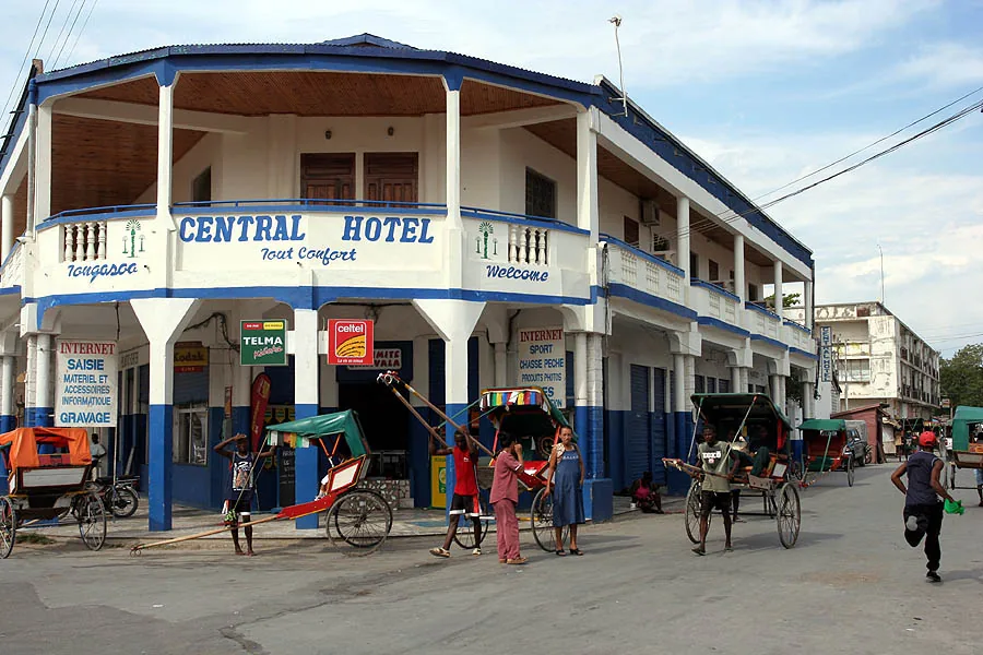
Sights in the town Betroka (1)
Frequently asked questions
How many days should I plan for Betroka?
When is the weather most pleasant?
How do I get to Betroka?
Are there any typical dishes?
Is Betroka suitable for children?
Betroka: where is it located?
Betroka: when is the best time to visit?
Betroka: why is it worth visiting?

Nearby cities


History & landmarks
More places