Plizio Visual Lab
Ambovombe

ℹ️Practical info — Ambovombe
▾
🌤 Weather — 5 days
📍 Nearby
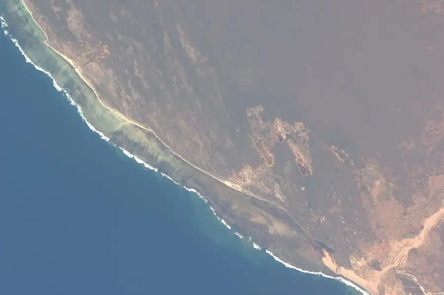
Sights nearby
💡 Tips
- Water is scarce in this region, so travel with plenty of bottled water.
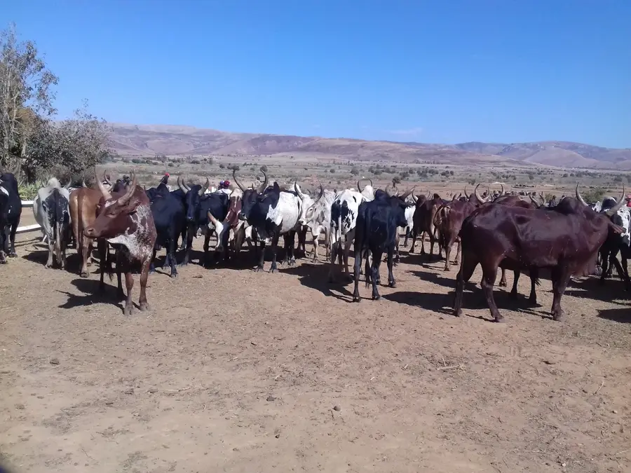
- The Monday zebu market is chaotic but a fascinating glimpse into local life.
- Sun protection is essential, as shade is rare in the Androy region.
- Roads in the deep south can be very rough; 4x4 vehicles are highly recommended.
🍽 Food
A common and hearty meal found in the local gargotes.
Prickly pear cactus fruit, a vital local source of water and nutrition.
Often roasted or boiled as a staple side dish.
🛍 Shopping · 🧘 Quiet spots
Durable and beautifully woven baskets available in the central market.
Handmade local silver crafts with traditional Androy motifs.
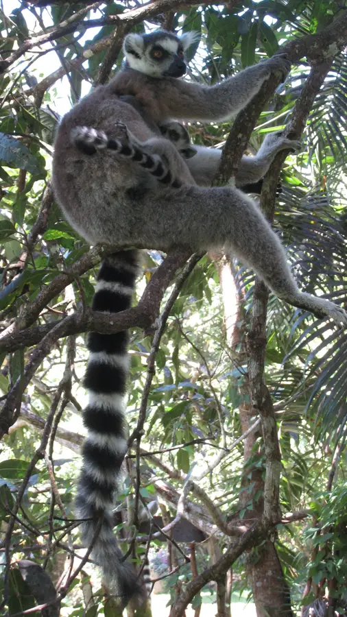
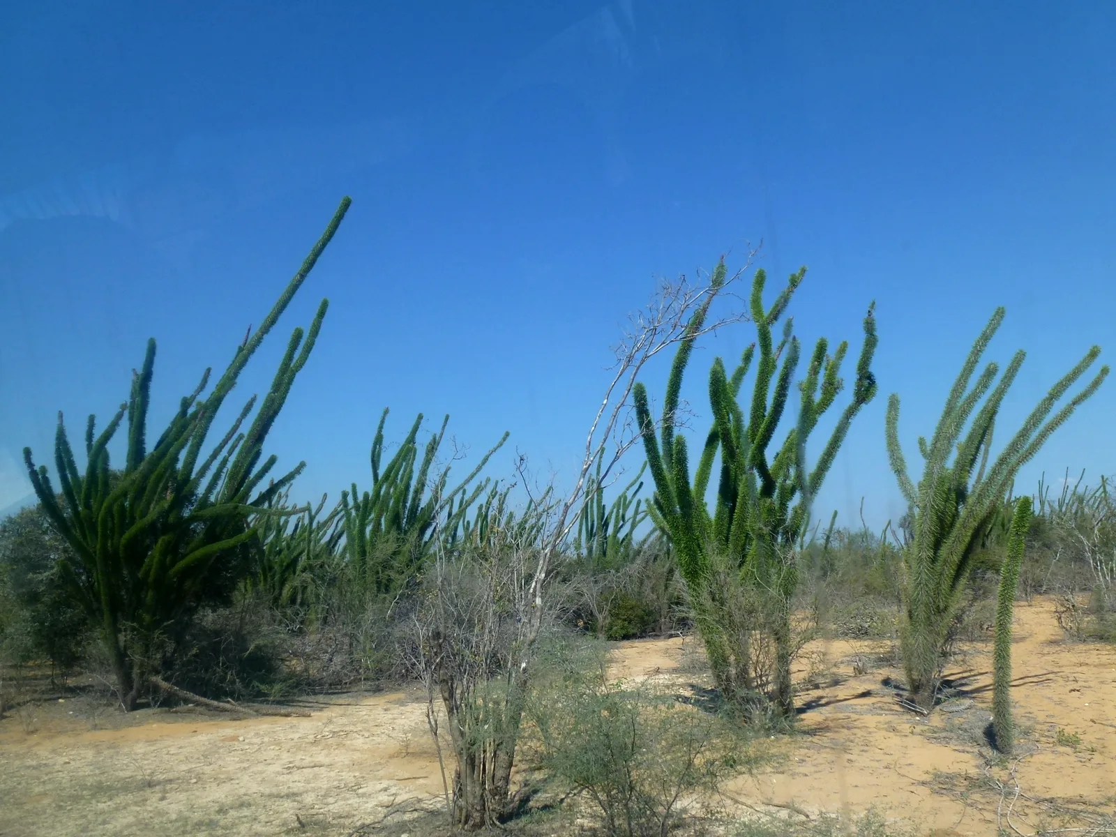
Marvel at the unique, otherworldly flora just outside the settlement.
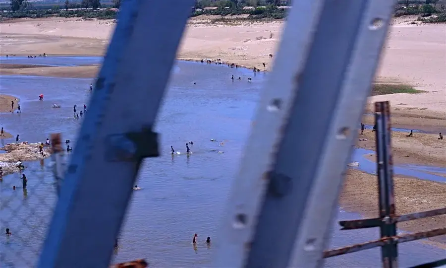
Take a calm walk along the sandy banks during the dry season, especially at sunset.
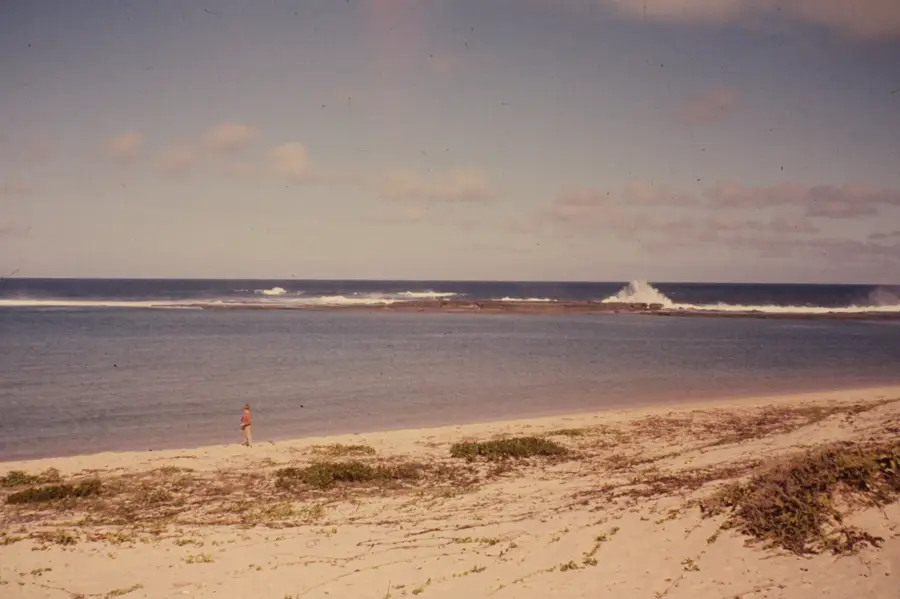
Water temperature…
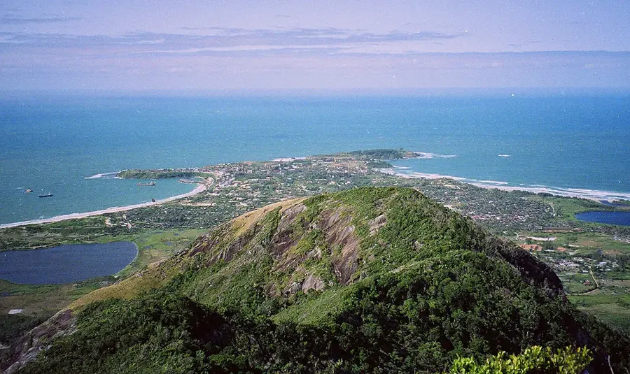
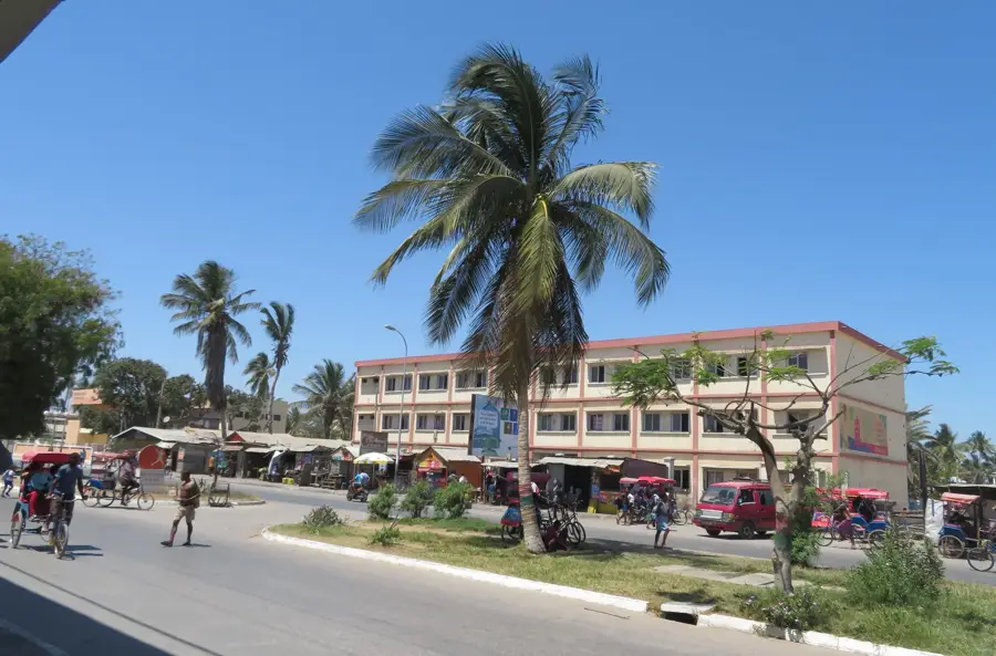
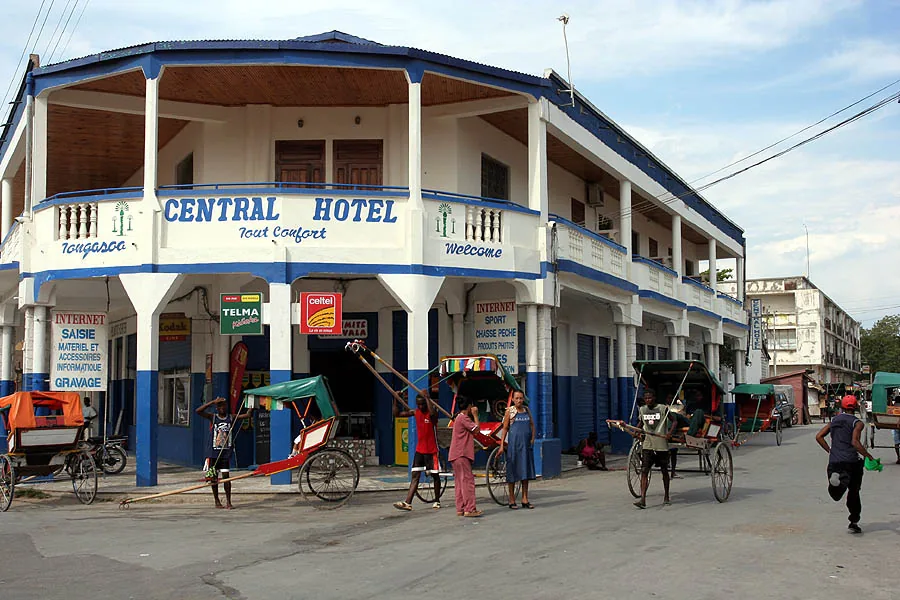
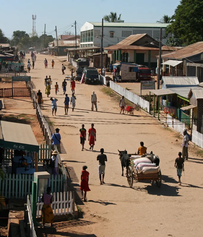
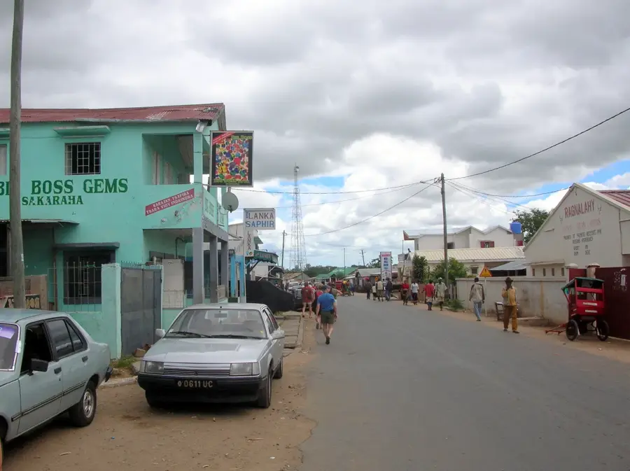
Ambovombe is the administrative capital of the Androy region in the southernmost part of Madagascar, serving as a vital hub in a semi-arid landscape. Strategically positioned at the junction of the RN10 and RN13 national roads, the town facilitates crucial commercial exchanges for the surrounding rural districts. The local geography is defined by the unique spiny forest ecoregion, featuring flora specifically adapted to the island's lowest rainfall levels. The predominant ethnic group is the Antandroy, whose name means "people of the thorns," reflecting their mastery of this challenging environment and their culture centered on zebu cattle. Historically, the town's growth has been closely tied to water management initiatives due to the recurring droughts that impact the southern plains. Today, Ambovombe is a central point for the trade of sisal and agricultural products, acting as a gateway for development efforts in the deep south. Its cultural landscape is enriched by traditional music and distinct funerary art, which remain central to the identity of the local community.
- Location: Madagascar
- Nearby: Amboasary (35 km)
- Population: ~69.265 (2026)
Best time to visit & climate
The most pleasant time to visit is Jun, Aug, Sep.
| Jan | Feb | Mar | Apr | May | Jun | Jul | Aug | Sep | Oct | Nov | Dec | |
|---|---|---|---|---|---|---|---|---|---|---|---|---|
| Avg °C | 26 | 26 | 25 | 23 | 22 | 20 | 19 | 20 | 22 | 24 | 25 | 26 |
| Rain mm | 219 | 205 | 208 | 131 | 90 | 58 | 55 | 46 | 50 | 82 | 114 | 176 |
Geography
Facts
- Administrative capital of the Androy region.
- Key junction connecting the RN10 and RN13 national routes.
- Primary cultural center for the Antandroy ethnic group.
- Major marketplace for zebu cattle and sisal fibers.
- Located within the unique southern spiny forest ecosystem.
- Strategic base for regional water and development programs.
Explore nearby
Notable places around
Route planner — Car & Motorhome
Where do you start? We build the route here, with stops and country notes along the way.
© OpenStreetMap contributors · OpenRouteService
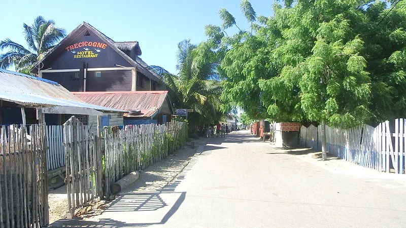
Sights in the town Ambovombe (1)
Frequently asked questions
How much time should I plan for Ambovombe?
When is the weather best in Ambovombe?
How to travel to Ambovombe?
What is typical for the local cuisine?
Is Ambovombe child-friendly?
Ambovombe: where is it located?
Ambovombe: when is the best time to visit?
Ambovombe: why is it worth visiting?

Nearby cities


History & landmarks
More places