Plizio Visual Lab
Tsihombe
ℹ️Practical info — Tsihombe
▾
🌤 Weather — 5 days
📍 Nearby
Sights nearby
💡 Tips
- Prepare for extreme heat and dryness, as the town is located in the semi-arid southern region of Madagascar.
- Bring plenty of your own drinking water, as local water supplies are very limited.
- Respect the Antandroy culture; always ask for permission before taking photos of their traditional, decorated tombs.
- Carry enough local cash with you, as there are no ATMs for international cards.
🍽 Food
Try this hearty meat dish at a basic, local 'hotely' (street-side eatery).
The main staple food of the south; often served boiled or fried as a side dish.
Grab fresh, sweet or savory dough balls from street vendors in the morning.
🛍 Shopping · 🧘 Quiet spots
Look for spoons and small sculptures carved from zebu horn at the local market.
Antandroy women weave beautiful, durable mats and baskets.
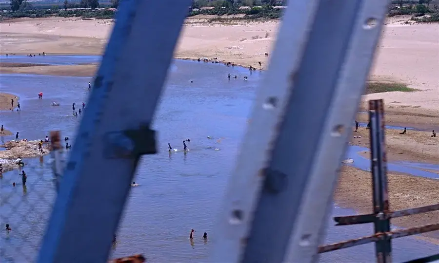
A walk along the seasonally dry riverbed gives a unique, quiet landscape.
Watch the sunset at the edge of town, where the characteristic spiny vegetation begins.
Water temperature…
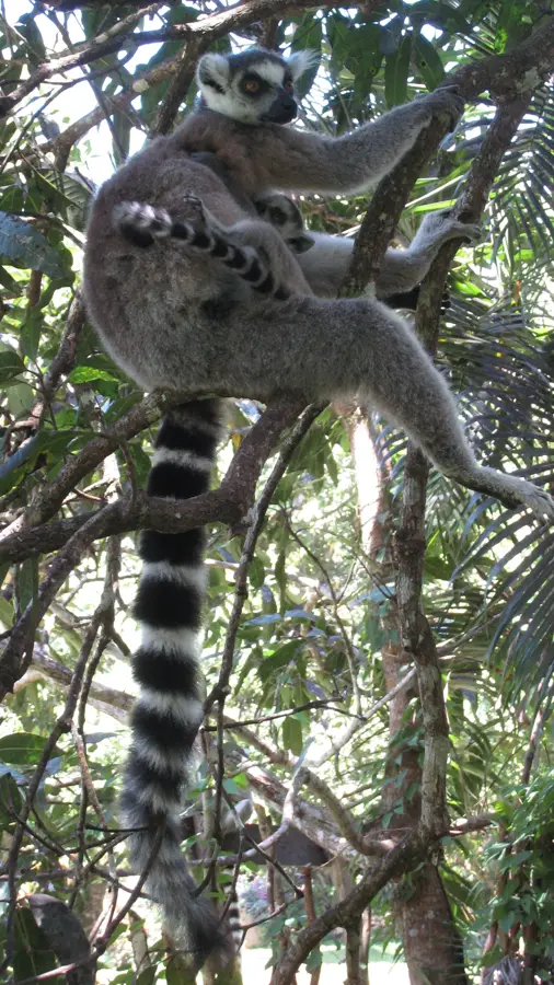
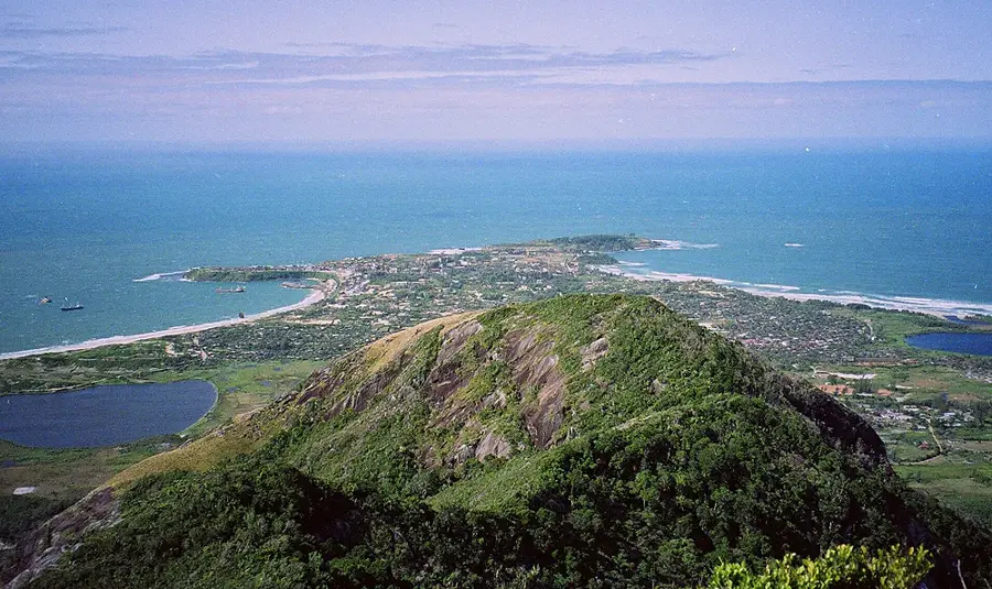
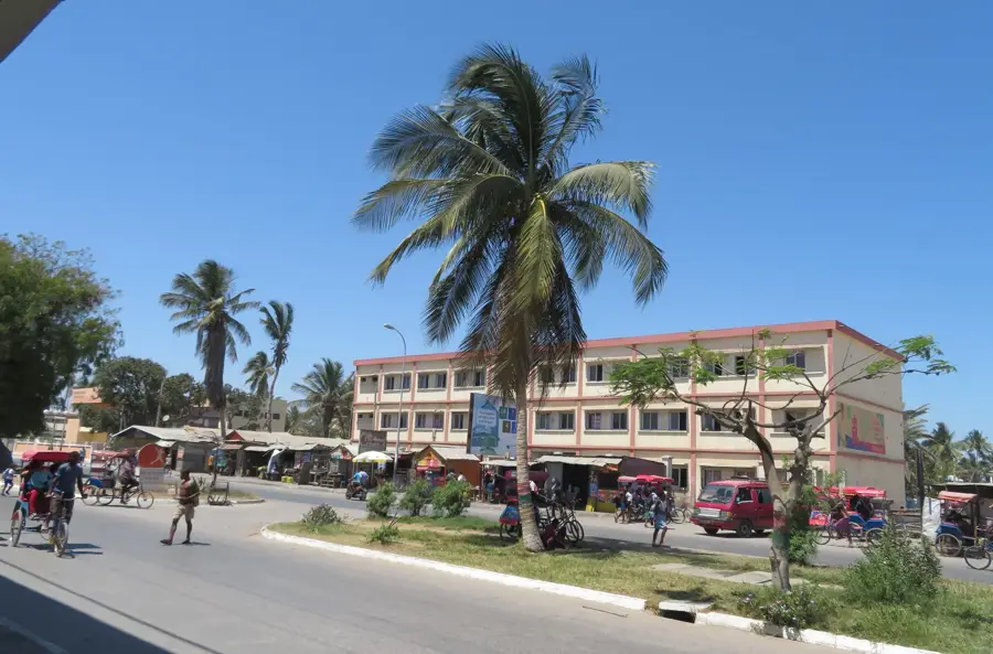
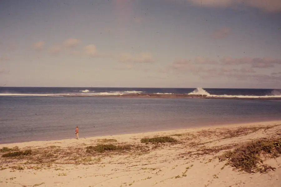
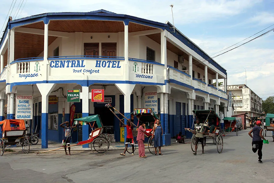
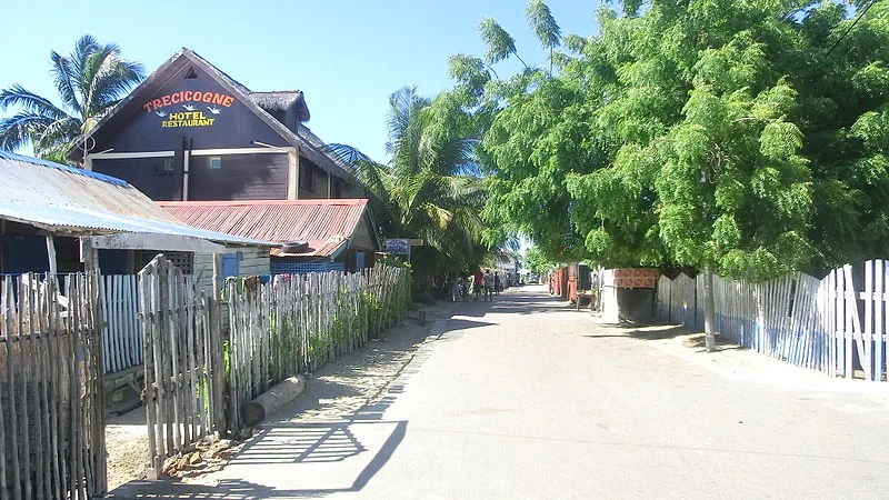
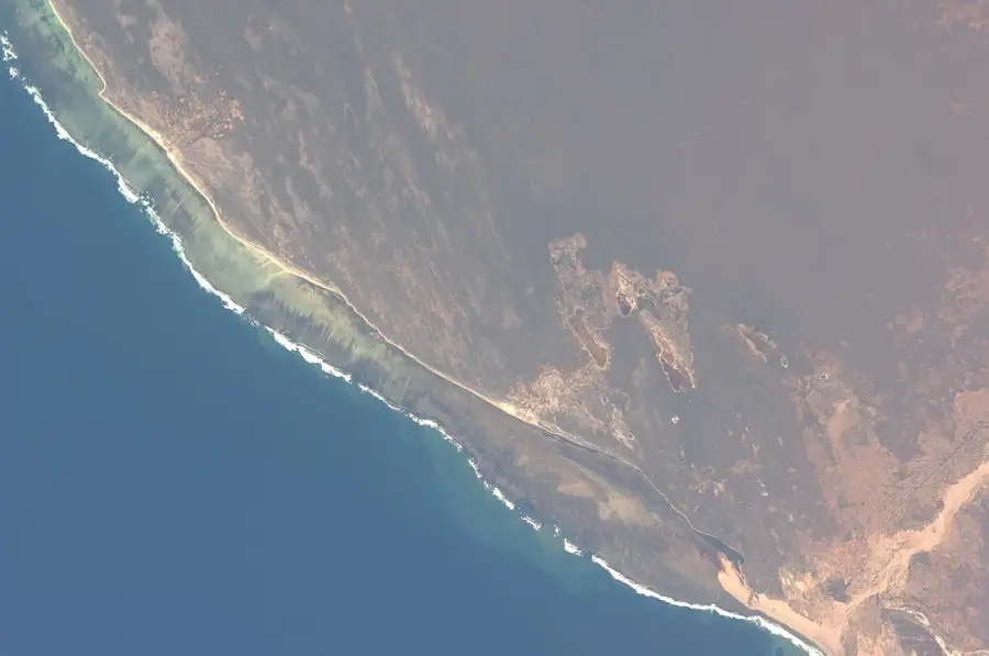
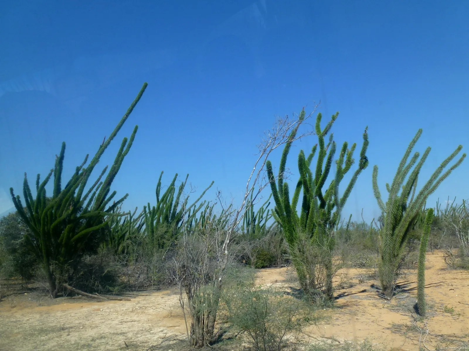
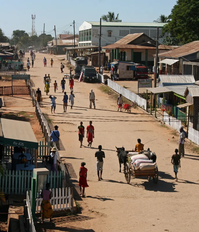
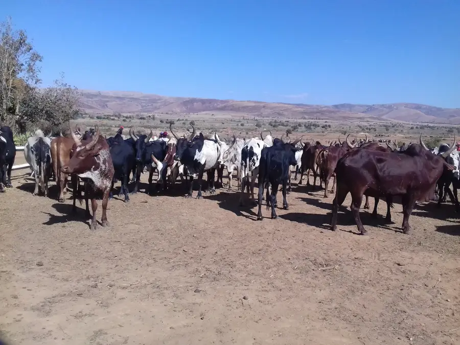
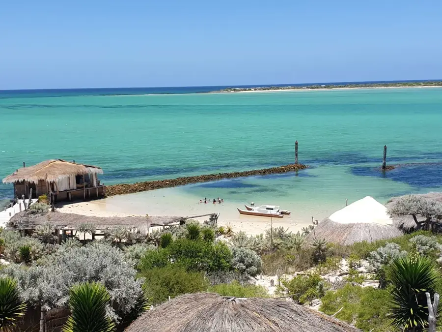
Tsihombe is the southernmost town in Madagascar, located in the Androy region in close proximity to Cape Sainte-Marie, the island's southernmost point. The geography of the region is characterized by an extremely dry, semi-arid climate dominated by thorny succulent forests and barren scrublands. This harsh environment has shaped the way of life for the Antandroy people, who are known for their resilience and semi-nomadic cattle herding. Economically, the town is defined by subsistence farming and trading in zebu cattle, while the region frequently suffers from devastating periods of drought. Tsihombe serves as an important administrative and supply center for the deep south and is situated on National Road 10, connecting Toliara with Ambovombe. Nearby is the Cap Sainte-Marie Special Reserve, a protected area for the critically endangered radiated tortoise and a significant site for whale watching during the humpback whale migration. The cultural identity of Tsihombe is closely linked to ancestral cults and the monumental tombs of the region that define the landscape.
- Location: Madagascar
- Nearby: Ambovombe (68 km)
- Population: ~29.825 (2018)
Best time to visit & climate
The most pleasant time to visit is Jun–Aug.
| Jan | Feb | Mar | Apr | May | Jun | Jul | Aug | Sep | Oct | Nov | Dec | |
|---|---|---|---|---|---|---|---|---|---|---|---|---|
| Avg °C | 27 | 26 | 26 | 24 | 23 | 21 | 21 | 21 | 22 | 24 | 25 | 26 |
| Rain mm | 143 | 144 | 143 | 85 | 57 | 36 | 36 | 28 | 36 | 51 | 71 | 115 |
Geography
Facts
- Tsihombe is located near Cap Sainte-Marie, the southernmost tip of Madagascar.
- The town is a central hub for the Antandroy ethnic group.
- The region is one of the last habitats for the endangered radiated tortoise.
- National Road RN10 connects Tsihombe to the town of Ambovombe.
- Extreme drought conditions often lead to seasonal migration of the population.
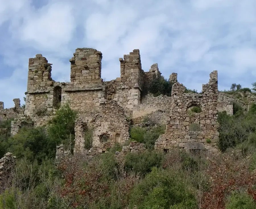
- The surrounding burial sites are famous for their large size and colorful paintings.
Explore nearby
Notable places around
Route planner — Car & Motorhome
Where do you start? We build the route here, with stops and country notes along the way.
© OpenStreetMap contributors · OpenRouteService
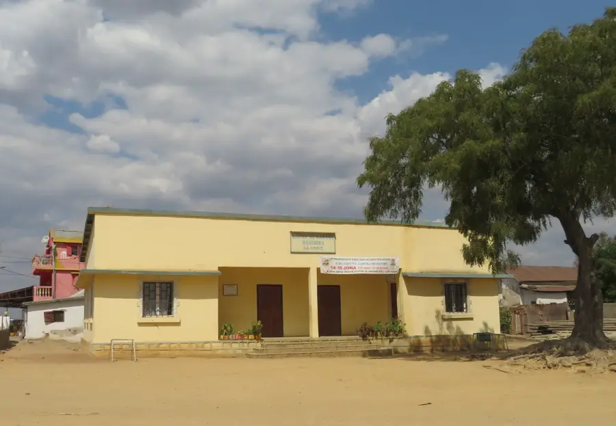
Sights in the town Tsihombe (1)
Frequently asked questions
How long for Tsihombe?
When is it best?
How to get there?
What is special?
Safe?
Tsihombe: where is it located?
Tsihombe: when is the best time to visit?
Tsihombe: why is it worth visiting?

Nearby cities


History & landmarks
More places