Plizio Visual Lab
Belo sur Tsiribihina
ℹ️Practical info — Belo sur Tsiribihina
▾
🌤 Weather — 5 days
📍 Nearby
Sights nearby
💡 Tips
- Bring plenty of cash as ATMs are scarce and often out of money.
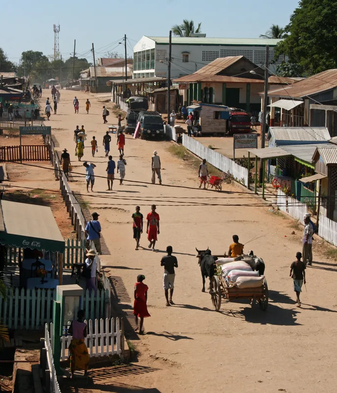
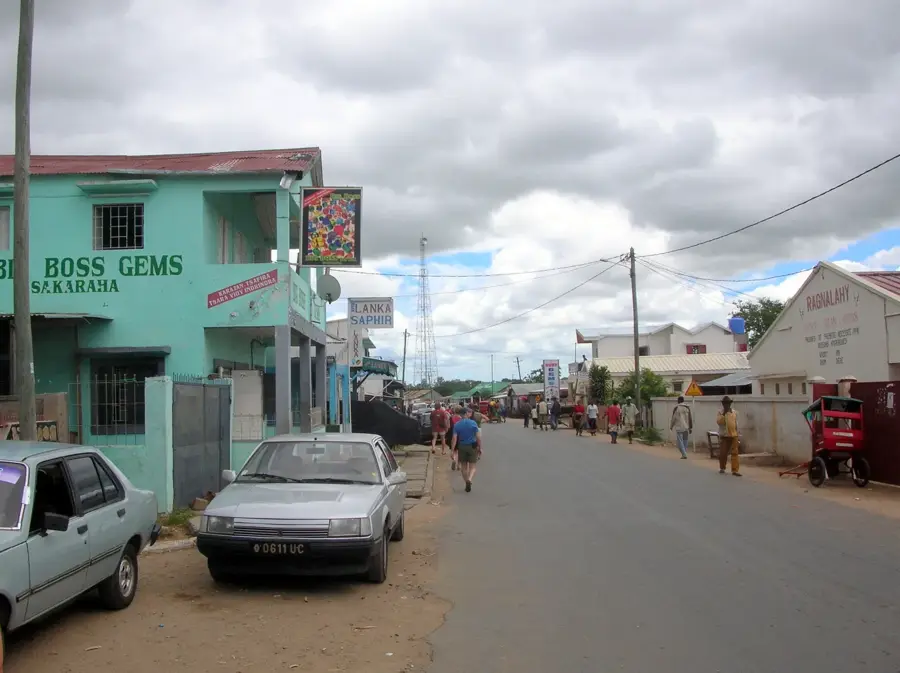
- This is the typical endpoint for Tsiribihina river trips, expect a bustling riverbank.
- A 4x4 vehicle is essential for onward travel due to extremely dusty and rough dirt roads.
- Respect local 'fady' (taboos) of the Sakalava culture, especially near sacred sites.
🍽 Food
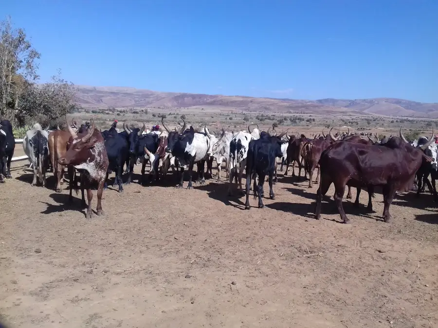
Try the tender meat of the local humped cattle in the small roadside 'gargotes'.
A traditional Malagasy beef stew with leafy greens, easily found at the local market.
Often freshly caught, enjoy it at the simple eateries near the riverbanks.
🛍 Shopping · 🧘 Quiet spots
The main market features fresh fruits, Malagasy spices, and everyday items.
Look out for hand-woven bags and hats made by local artisans.
A peaceful spot to watch the pirogues glide by, especially in the warm evening light.
A walk slightly outside town reveals quiet rural life away from the dusty center.
Water temperature…
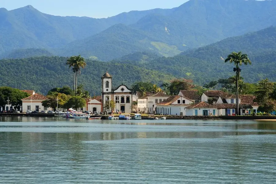
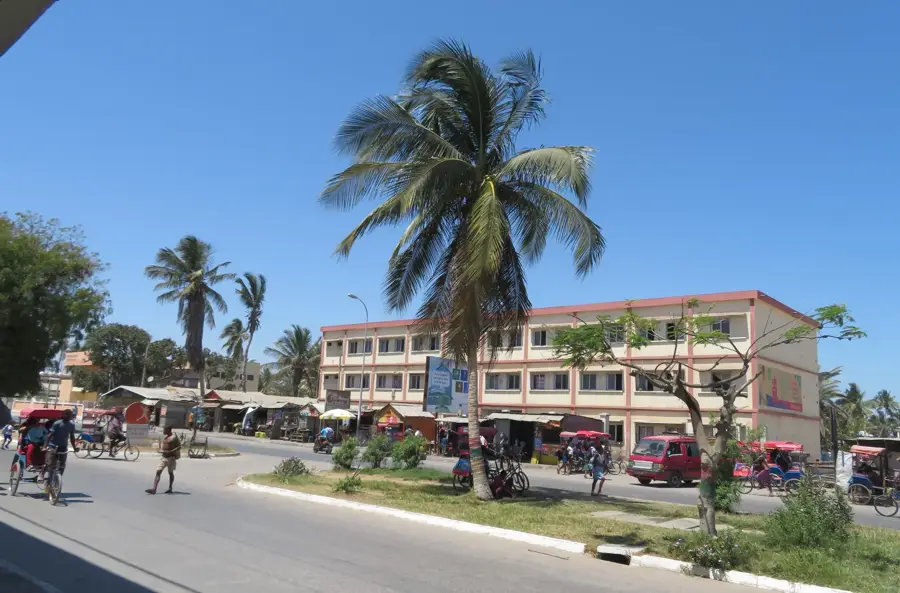
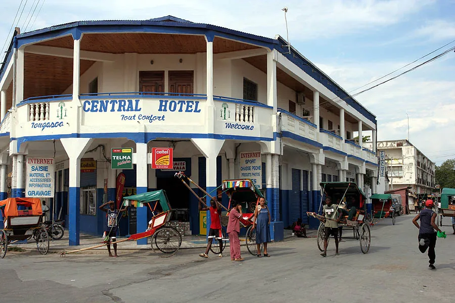
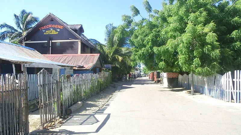
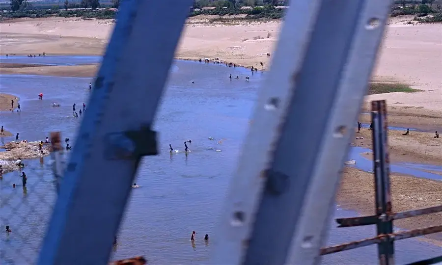
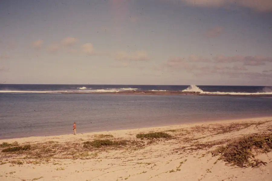
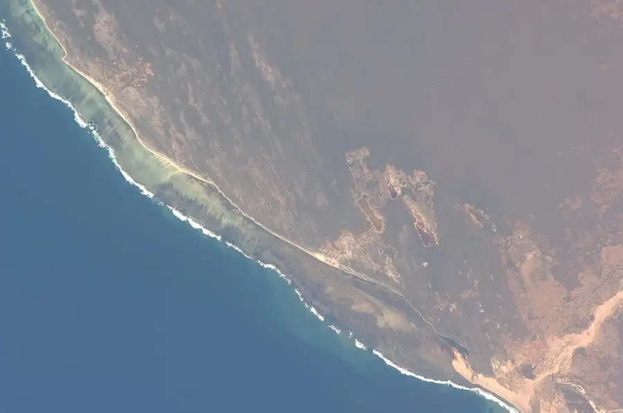
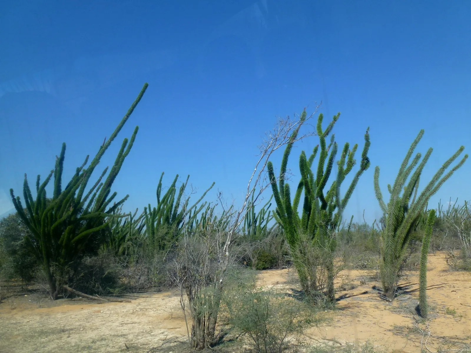
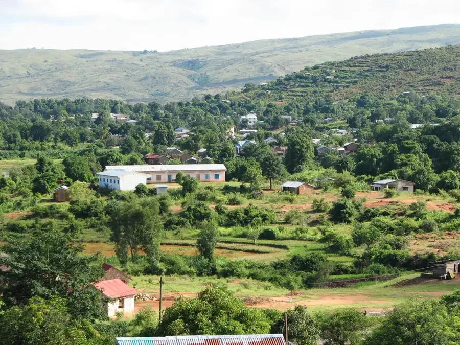
Belo sur Tsiribihina is located in western Madagascar within the Menabe region, situated on the northern bank of the wide Tsiribihina River. The town is widely known as a strategic gateway to the UNESCO World Heritage site of Tsingy de Bemaraha and serves as the primary disembarkation point for river expeditions. Culturally, it is a vital center for the Sakalava people, famously hosting the decennial Fitampoha ceremony, where royal relics are ritualistically washed in the river. Geographically, it occupies a flat coastal plain characterized by mangroves and fertile alluvial soils dedicated to tobacco and sugarcane cultivation. The town plays a critical role in regional logistics, as it hosts the ferry services required to cross the river for travel between northern and southern Menabe. Despite its remote location, it thrives as a commercial hub for local fisheries and agricultural products harvested from the surrounding fertile basin.
- Location: Madagascar
- Nearby: Bekopaka (48 km)
- Population: ~23.900 (2018)
Best time to visit & climate
The most pleasant time to visit is Jun–Aug.
| Jan | Feb | Mar | Apr | May | Jun | Jul | Aug | Sep | Oct | Nov | Dec | |
|---|---|---|---|---|---|---|---|---|---|---|---|---|
| Avg °C | 28 | 28 | 28 | 27 | 26 | 24 | 24 | 24 | 26 | 27 | 28 | 29 |
| Rain mm | 339 | 225 | 136 | 66 | 14 | 12 | 8 | 4 | 8 | 27 | 55 | 149 |
Geography
Facts
- Belo sur Tsiribihina is the primary transit point for expeditions to Tsingy de Bemaraha.
- It is the site of the Fitampoha royal relic-washing festival held every ten years.
- Access to the town is mainly via river boat or seasonally difficult dirt roads.
- The Tsiribihina River reaches a width of over one kilometer at this point.
- Sugarcane and tobacco cultivation are the main economic drivers of the area.
- The town is situated on a low-lying alluvial plain just above sea level.
Explore nearby
Notable places around
Route planner — Car & Motorhome
Where do you start? We build the route here, with stops and country notes along the way.
© OpenStreetMap contributors · OpenRouteService
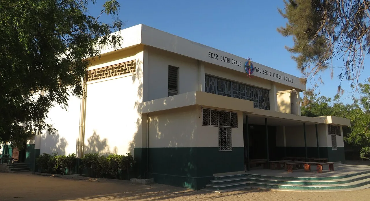
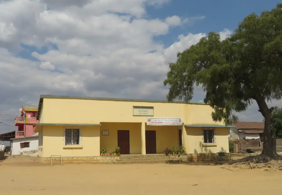
Sights in the town Belo sur Tsiribihina (1)
Frequently asked questions
How long to stay?
Best time?
How to reach it?
Are there river cruises?
Is it family-friendly?
Belo sur Tsiribihina: where is it located?
Belo sur Tsiribihina: when is the best time to visit?
Belo sur Tsiribihina: why is it worth visiting?

Nearby cities

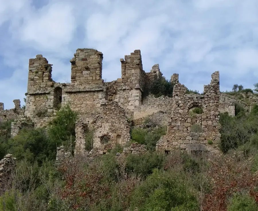
History & landmarks
More places