Plizio Visual Lab
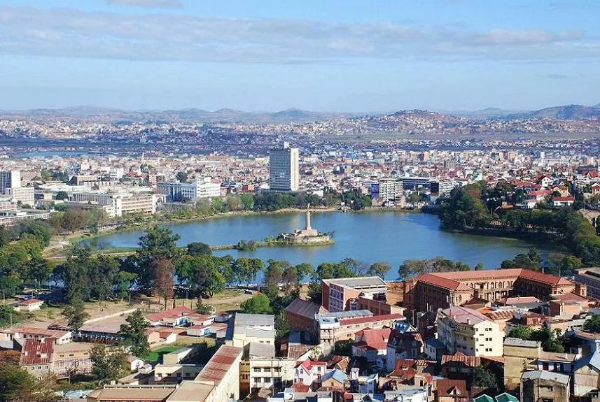
Andohahela Massif

Weather…
Water temperature…
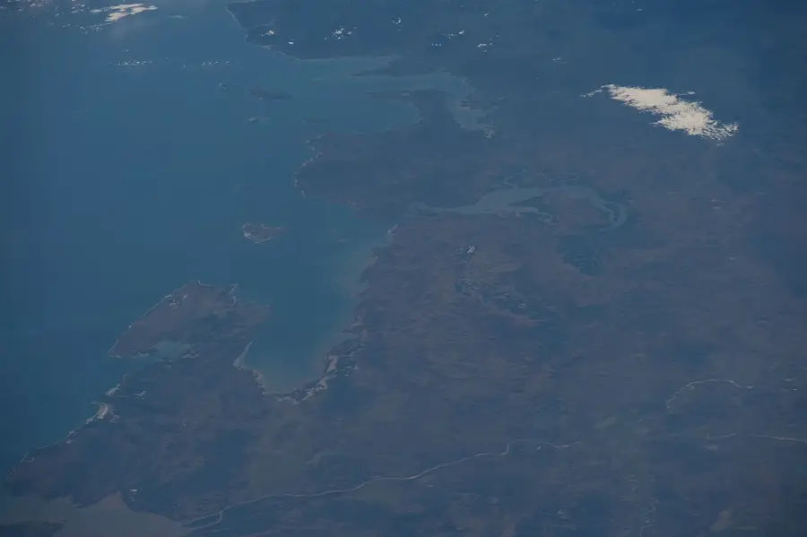
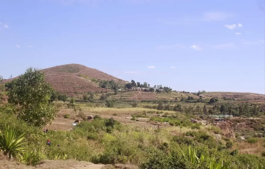
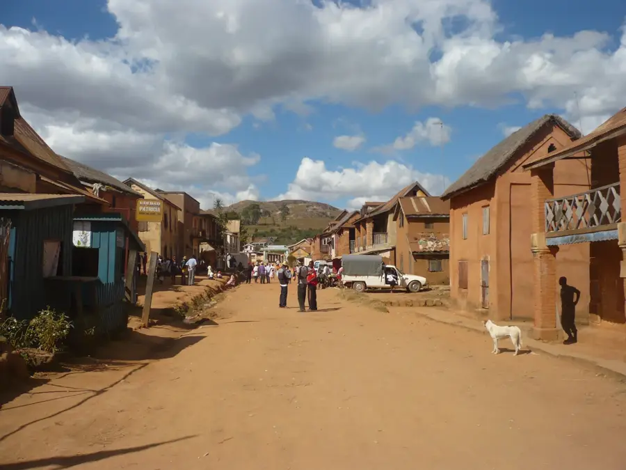
The Andohahela Massif in the far southeast of Madagascar is a remarkable geographical feature, serving as the transition point between three entirely different climatic zones. Part of the southern extension of the island's central highlands, the massif reaches elevations of nearly 2,000 meters. Its eastern slopes are blanketed in lush rainforest, while the western side dramatically shifts into an arid spiny forest environment. This stark contrast occurring over a very short distance makes the relief a unique laboratory for evolution and biodiversity. Higher elevations contain transitional forests that host species from both wet and dry ecosystems. The massif is defined by deep valleys and steep rock faces, which have historically limited human access and helped preserve its pristine wilderness. It acts as a critical watershed for the parched southern regions, trapping moisture from the incoming trade winds. Today, the entire massif is protected as a national park and is recognized as a UNESCO World Heritage site.
- Location: Madagascar
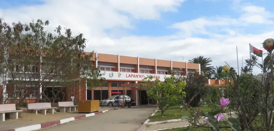
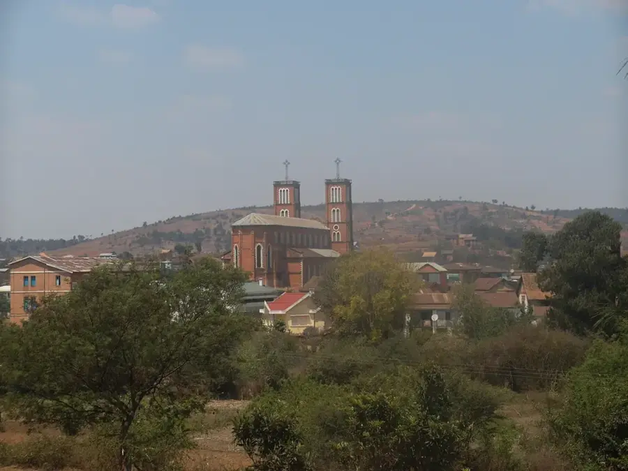
- Nearby: Tolanaro (46 km)
Best time to visit & climate
The most pleasant time to visit is Aug–Oct.
| Jan | Feb | Mar | Apr | May | Jun | Jul | Aug | Sep | Oct | Nov | Dec | |
|---|---|---|---|---|---|---|---|---|---|---|---|---|
| Avg °C | 24 | 24 | 23 | 21 | 19 | 17 | 17 | 18 | 19 | 21 | 23 | 24 |
| Rain mm | 236 | 216 | 214 | 138 | 102 | 73 | 72 | 54 | 49 | 84 | 125 | 187 |
📋 Practical info
Geography
Facts
- The highest peak in the massif reaches an elevation of 1,972 meters.
- Andohahela is the only site in Madagascar where three major ecosystems converge.
- The area was designated as a UNESCO World Heritage site in 2007.
- Thirteen species of lemurs have been identified living within the massif's borders.
- Annual rainfall drops from 2,000 mm in the east to just 600 mm in the west.
- The mountains serve as the primary water source for the arid plains of the south.
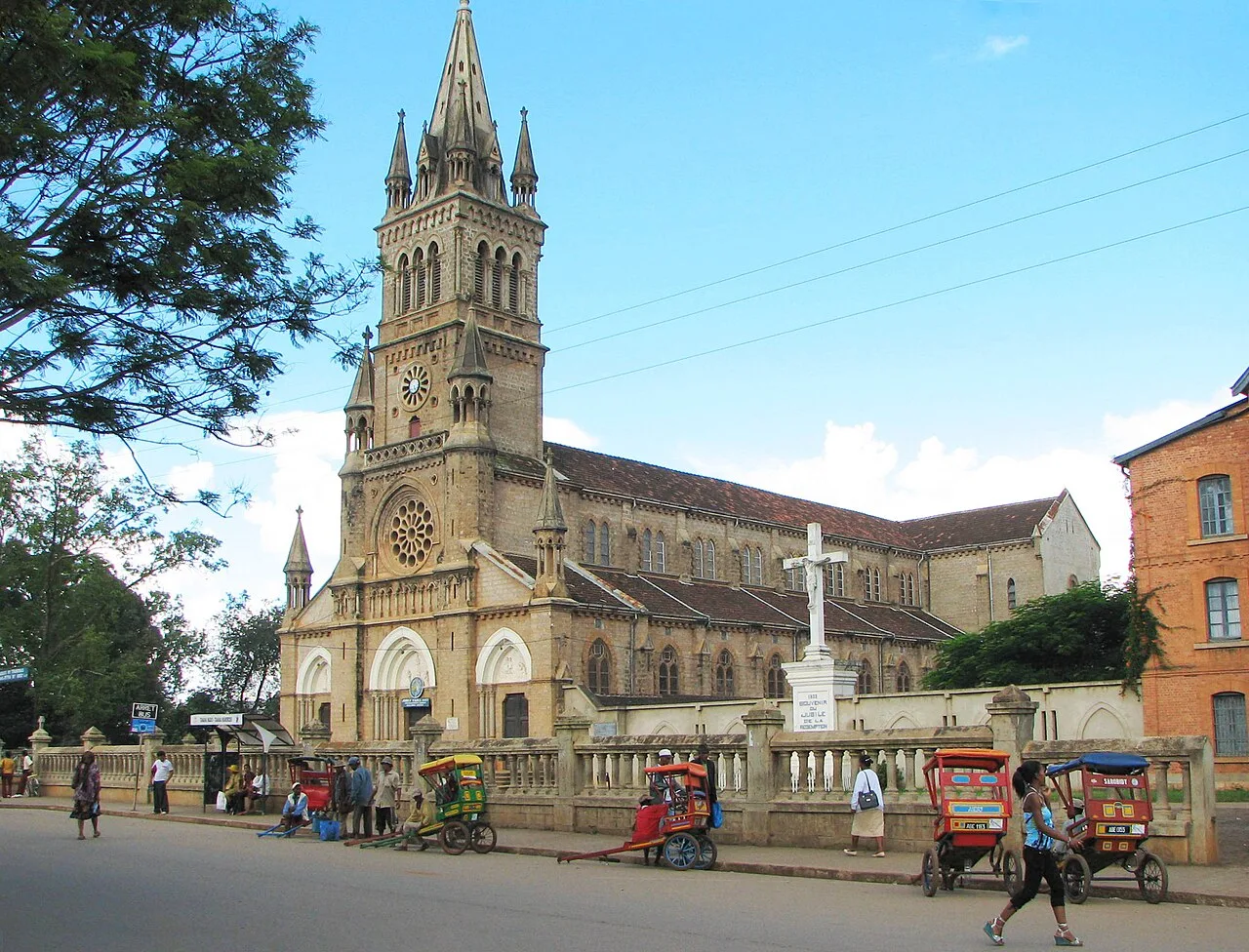
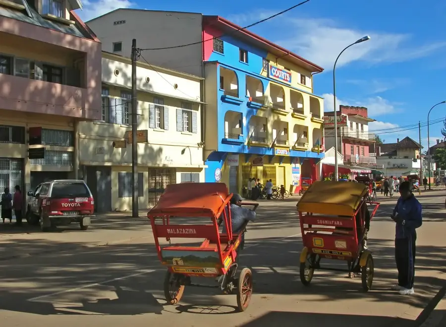
Explore nearby
Notable places around
Route planner — Car & Motorhome
Where do you start? We build the route here, with stops and country notes along the way.
© OpenStreetMap contributors · OpenRouteService
Sights nearby
Frequently asked questions
Is Andohahela suitable for beginners?
What characterizes the flora?
Is registration required?
What is the weather like there?
Is the massif dangerous?
Andohahela Massif: where is it located?
Andohahela Massif: when is the best time to visit?
Andohahela Massif: why is it worth visiting?

Nearby cities


History & landmarks

Nature
More places