Plizio Visual Lab
Ankazoabo
ℹ️Practical info — Ankazoabo
▾
🌤 Weather — 5 days
📍 Nearby
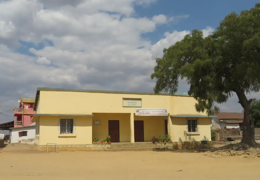
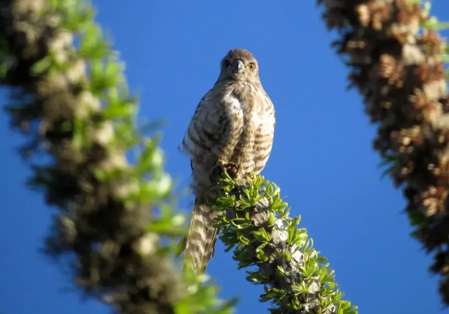
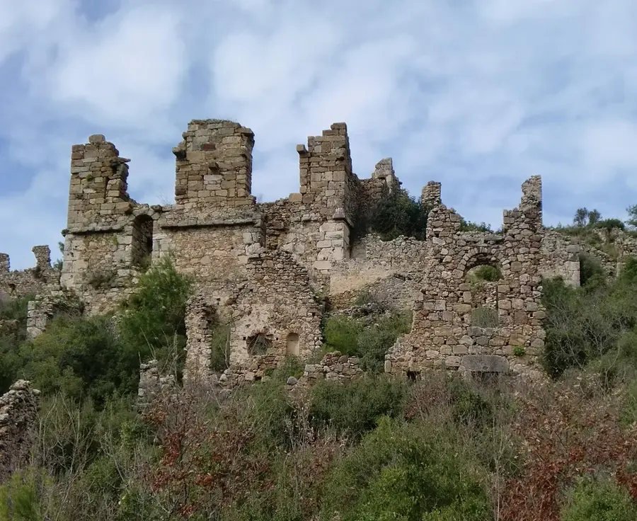
Sights nearby
💡 Tips
- Travel by 4x4 or sturdy taxi-brousse is essential, as the roads in this dry region can be very rough.
- The climate is arid; always carry sufficient drinking water when traveling outside the town.
- Respect local fady (taboos); ask a local guide before visiting sacred natural sites or tombs.
- Pack sun protection and a hat, as shade is sparse in the surrounding savanna.
🍽 Food
The national meat and greens stew, typically served with a mountain of rice at local gargotes.
Zebu meat is a staple here; try it grilled (brochettes) at street-side stalls.
Look for this sweet snack made from peanuts, rice flour, and banana wrapped in leaves.
🛍 Shopping · 🧘 Quiet spots
The bustling weekly market is the best place to buy fresh produce and basic woven goods.
You can sometimes find local vendors selling wild honey gathered from the surrounding bush.
Walk just outside the town limits to experience the vast, quiet landscape of the southwest.
Find a large baobab tree on the town's periphery for a peaceful resting spot.
Water temperature…
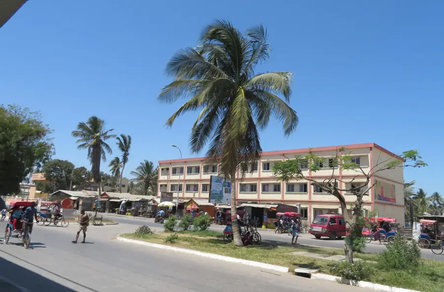
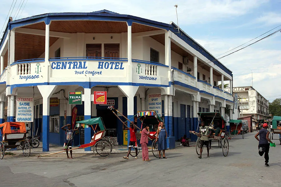
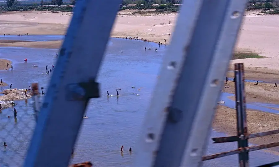
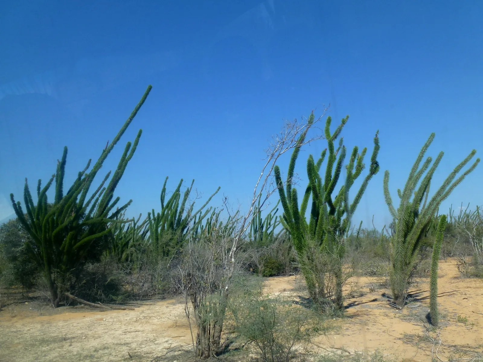
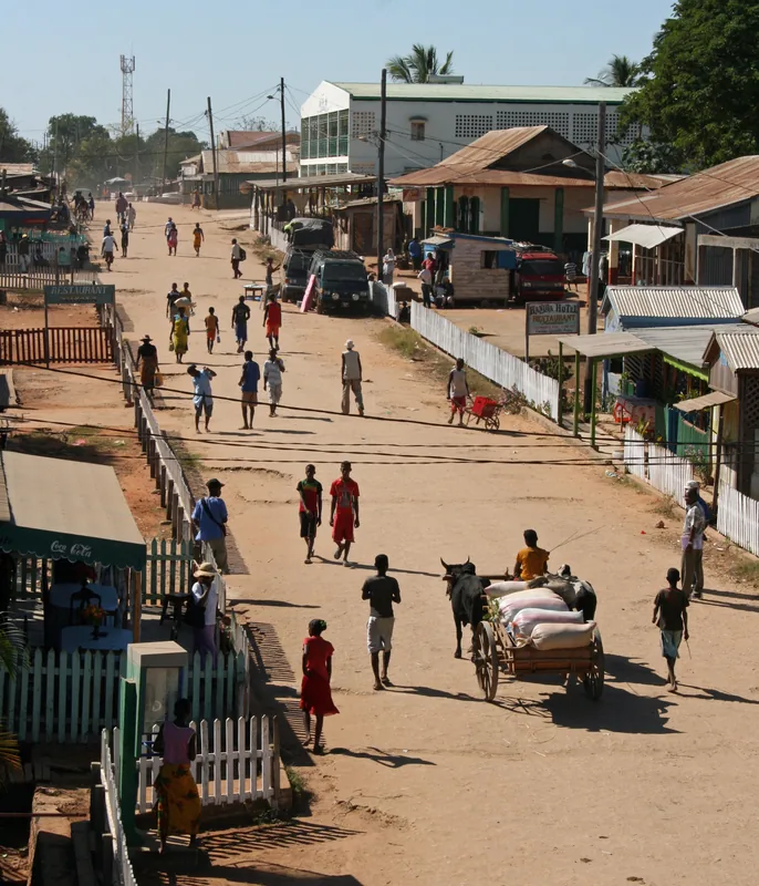
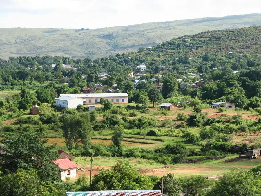
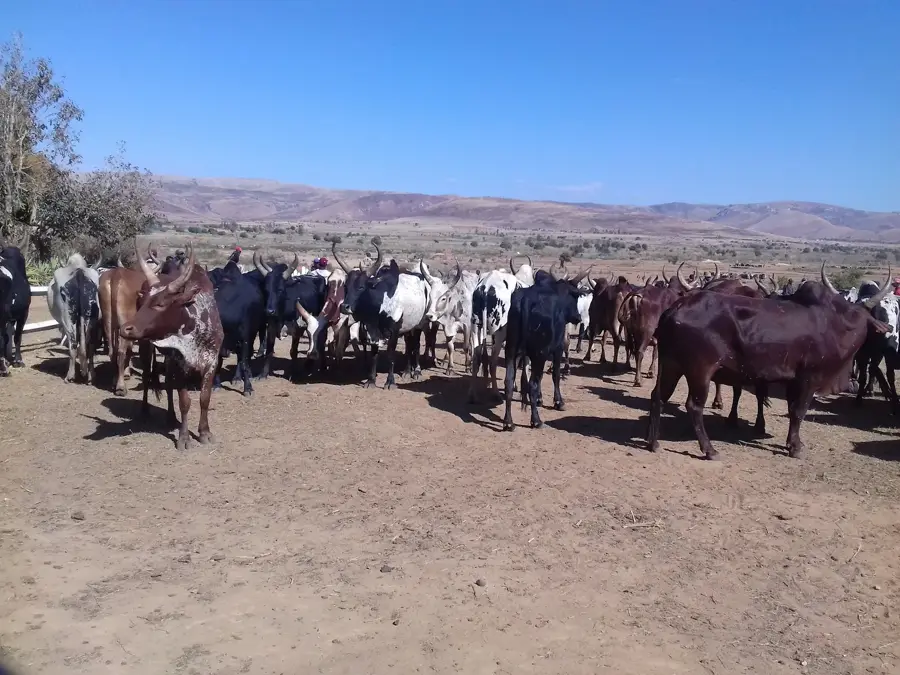
Ankazoabo is located in southwestern Madagascar within the Atsimo-Andrefana region, serving as a critical hub in an arid landscape dominated by spiny forests and savanna. The town acts as a strategic administrative and economic link between the coastal port of Morombe and the island's interior. Geographically, Ankazoabo sits at an elevation of approximately 400 meters in a region defined by a semi-arid climate and prolonged dry seasons. The local economy is centered on livestock farming, particularly zebu cattle, which form the cultural and economic backbone of the resident Masikoro and Bara ethnic groups. Historically, the area was a significant gathering point for pastoralists, and today it remains a major market for drought-resistant crops such as maize and cassava. The vast plains surrounding Ankazoabo are notable for their iconic baobab trees and the preservation of traditional nomadic herding practices.
- Location: Madagascar
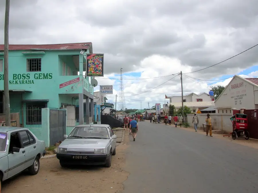
- Nearby: Sakaraha (49 km)
- Population: ~25.961 (2018)
Best time to visit & climate
The most pleasant time to visit is May, Jun, Aug.
| Jan | Feb | Mar | Apr | May | Jun | Jul | Aug | Sep | Oct | Nov | Dec | |
|---|---|---|---|---|---|---|---|---|---|---|---|---|
| Avg °C | 25 | 24 | 24 | 23 | 21 | 19 | 18 | 21 | 23 | 25 | 26 | 26 |
| Rain mm | 314 | 219 | 124 | 39 | 25 | 14 | 12 | 8 | 24 | 47 | 89 | 188 |
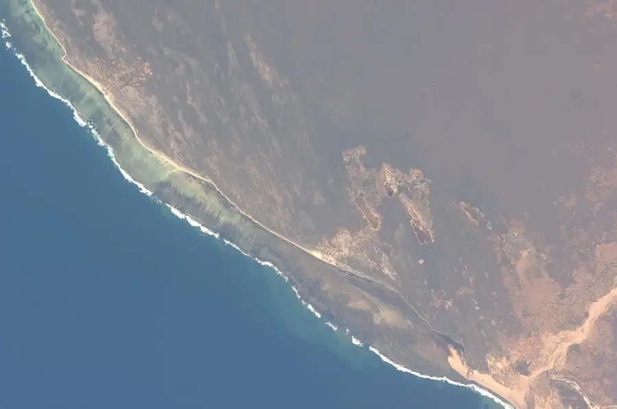
Geography
Facts
- Ankazoabo is a major center for the zebu cattle trade in the southwest.
- The town is conveniently located along National Road RN9.
- The regional climate is semi-arid, experiencing very low annual rainfall.
- The town is situated at an average altitude of 400 meters.
- The Masikoro and Bara ethnic groups are the primary cultural influences here.
- The surrounding area is home to numerous specimens of endemic baobab trees.
Explore nearby
Notable places around
Route planner — Car & Motorhome
Where do you start? We build the route here, with stops and country notes along the way.
© OpenStreetMap contributors · OpenRouteService
Frequently asked questions
How long stay?
Best season?
How to get there?
Are there food options?
Is it safe?
Ankazoabo: where is it located?
Ankazoabo: when is the best time to visit?
Ankazoabo: why is it worth visiting?

Nearby cities
History & landmarks
More places