Plizio Visual Lab
Ihosy
ℹ️Practical info — Ihosy
▾
🌤 Weather — 5 days
📍 Nearby
Sights nearby
💡 Tips
- Ihosy is a major crossroads; if traveling south to Toliara, refuel and stock up on snacks here.
- Respect local customs (fady) of the Bara people, especially regarding cattle and sacred places.
- The town can get very dusty during the dry season, so keep your camera and electronics protected.
- Pousse-pousse (rickshaws) are common for short trips, but agree on the price beforehand.
🍽 Food
The Bara people are famous cattle herders, making this the best region to try high-quality local beef at guesthouses.
A traditional Malagasy meat and greens stew, often served at local eateries (hotely).
A sweet snack of peanuts and rice flour wrapped in banana leaves, sold by street vendors.
🛍 Shopping · 🧘 Quiet spots
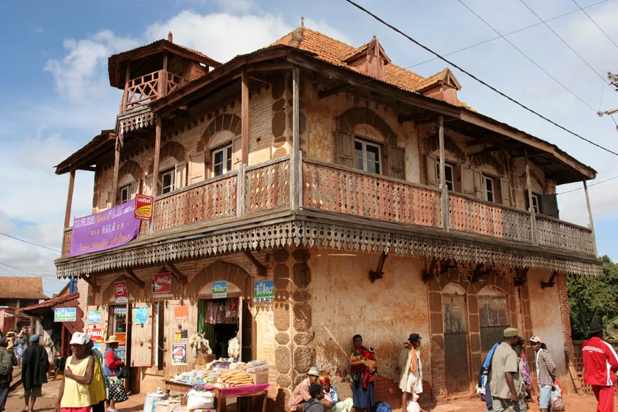
A bustling regional hub where you can find colorful woven fabrics and local agricultural produce.
Look for small, polished items carved from zebu horns by local artisans.
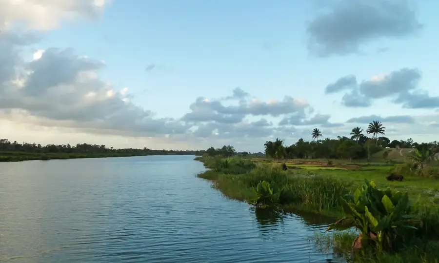
A quiet spot just outside the town center to watch the water flow and local life unfold gently.
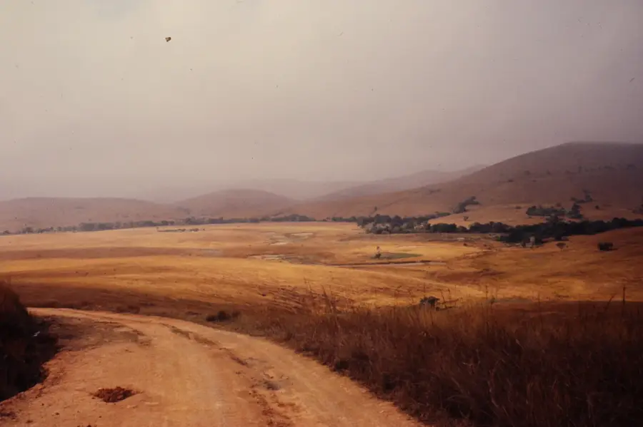
Drive slightly out of town towards the vast, silent grassy plains of the plateau.
Water temperature…
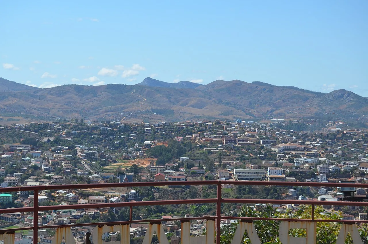
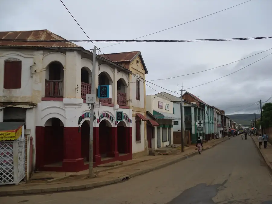
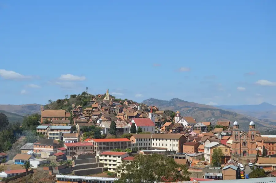
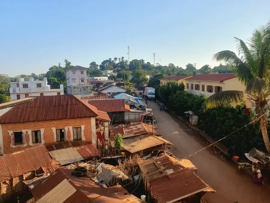
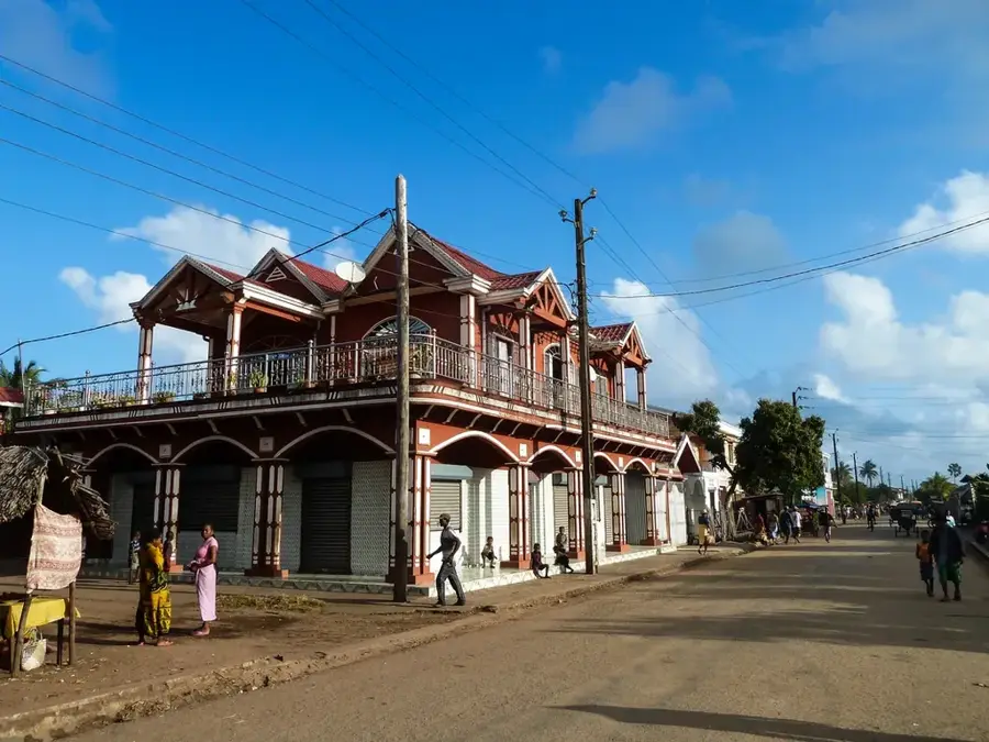
Ihosy is located in south-central Madagascar on the windswept Ihorombe Plateau and serves as the cultural capital of the Bara people. The town is a strategic transportation hub where the National Road 7 (RN7) meets the route leading south to Fort-Dauphin, making it a vital stop for travelers and cargo. The surrounding landscape consists of vast grassy savannas, which form the heartland of Madagascar’s cattle-rearing industry. For the Bara ethnic group, known for their warrior history and semi-nomadic pastoralism, Ihosy is central to traditions where zebu cattle represent wealth and social status. The town is the primary gateway to the spectacular Isalo National Park, famous for its Jurassic sandstone formations, deep canyons, and hidden oases. The climate here is significantly drier and cooler than the coastal regions, contributing to the rugged beauty of the high plateaus. Ihosy maintains a unique 'frontier town' atmosphere with its bustling livestock markets and strong local identity. It remains a crucial point where modern infrastructure intersects with ancient pastoral traditions.
- Location: Madagascar
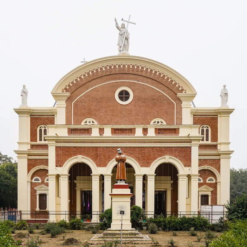
- Top sights: Ihosy District · Diocese of Ihosy · Ihorombe
- Nearby: Betroka (67 km)
- Population: ~41.892 (2026)
Best time to visit & climate
The most pleasant time to visit is Apr, Sep, Oct.
| Jan | Feb | Mar | Apr | May | Jun | Jul | Aug | Sep | Oct | Nov | Dec | |
|---|---|---|---|---|---|---|---|---|---|---|---|---|
| Avg °C | 23 | 23 | 22 | 20 | 18 | 16 | 15 | 17 | 19 | 21 | 23 | 24 |
| Rain mm | 291 | 222 | 150 | 67 | 43 | 35 | 35 | 22 | 20 | 57 | 109 | 201 |
Geography
Facts
- Traditional cultural capital of the Bara ethnic group
- Strategic junction between National Roads RN7 and RN13
- Located on the Ihorombe Plateau along the Ihosy River
- Main service hub for visitors to Isalo National Park
- Central hub for Madagascar's southern zebu cattle trade
- Situated at an altitude of 800m with a windy, dry climate
Explore nearby
Notable places around
Route planner — Car & Motorhome
Where do you start? We build the route here, with stops and country notes along the way.
© OpenStreetMap contributors · OpenRouteService
Sights in the town Ihosy (3)
Frequently asked questions
How many days to spend in Ihosy?
Best time?
How to get there?
Gastronomy?
Family-friendly?
Ihosy: where is it located?
Ihosy: what is there to see?
Ihosy: when is the best time to visit?
Ihosy: why is it worth visiting?

Nearby cities

History & landmarks
More places