Plizio Visual Lab
Marakabei
ℹ️Practical info — Marakabei
▾
🌤 Weather — 5 days
📍 Nearby
Sights nearby
💡 Tips
- The Senqunyane River valley can get very misty in the mornings; drive carefully and wait for the sun to clear the view.
- As a central mountain settlement, temperatures drop sharply at night, so layer up even in summer.
- If you plan to explore side roads leading to smaller villages, a 4x4 vehicle is highly recommended.
- Cash is king here; ensure you have enough South African Rand or Lesotho Loti before leaving major towns.
🍽 Food
Try these sweet, deep-fried fat cakes, usually sold by street vendors in the morning.
A staple dish of maize porridge with wild greens, available at small roadside eateries.
🛍 Shopping · 🧘 Quiet spots
Buy fresh seasonal vegetables directly from local farmers along the main routes.
Look for handmade woolen hats and scarves sold by local women.
Walk down to the river for a peaceful afternoon listening to the flowing water.
Hike a short distance up the surrounding hills for a serene view of the settlement.
Water temperature…
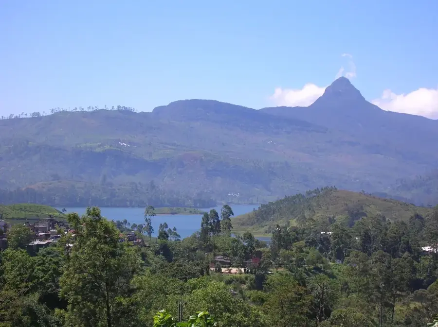
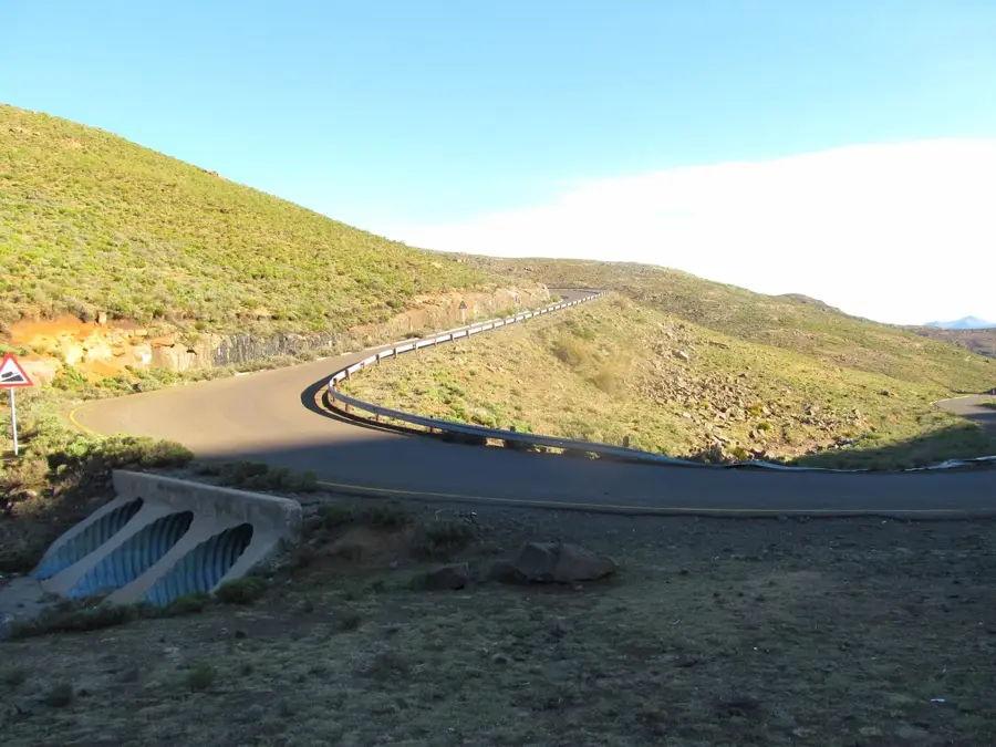
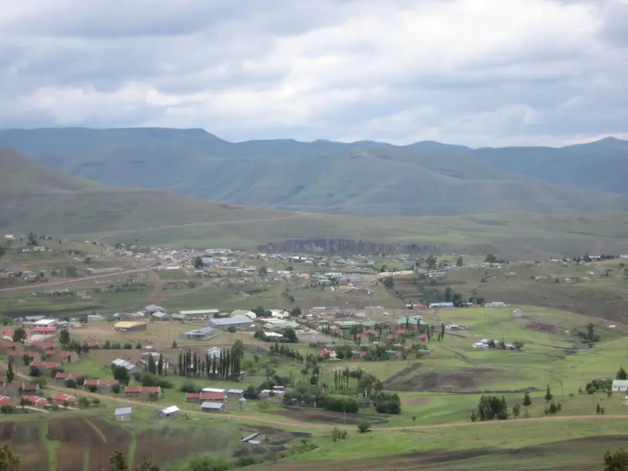
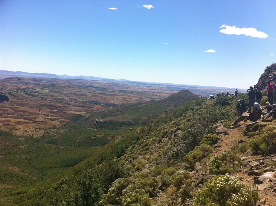
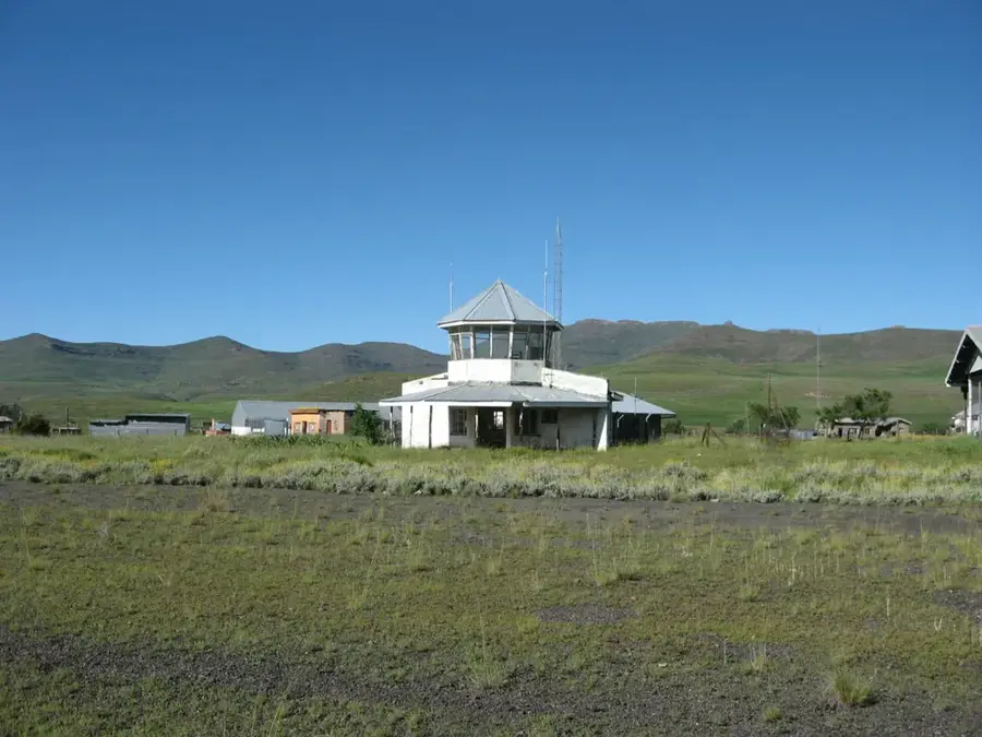
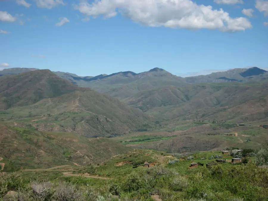
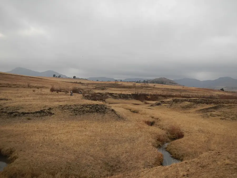
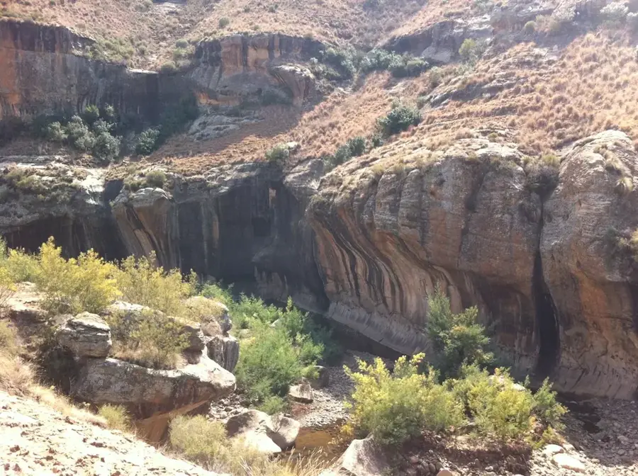
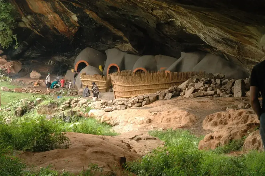
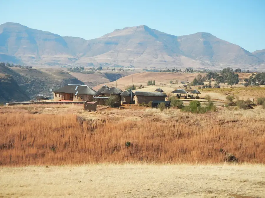
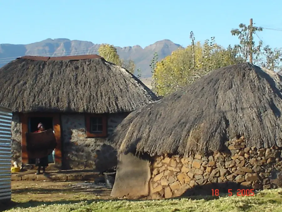
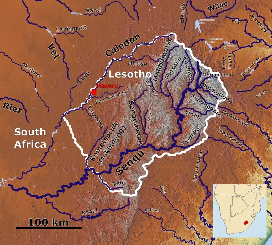
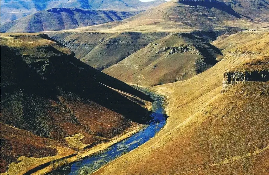
Marakabei is a central highland settlement in Lesotho, positioned along the Senqunyane River in the Maseru District. It serves as a traditional trading center and a crucial transit point for those traveling deep into the interior of the mountain kingdom. The village is situated at an altitude of approximately 2,050 meters, surrounded by the dramatic peaks of the Maloti range. Historically, Marakabei was a significant outpost for the Basotho people, providing a strategic location for trade between the lowlands and the remote mountain cattle posts. The climate is characterized by cool summers and harsh, snowy winters, influencing the local architecture of stone-walled rondavels with thatched roofs. Agriculture and livestock farming, particularly sheep and goats for wool and mohair, are the primary economic activities of the local population. The area is also known for its trout fishing opportunities in the nearby river systems.
- Location: Lesotho
- Nearby: Mantsonyane (10 km)
- Population: ~1.659 (2023)
Best time to visit & climate
The most pleasant time to visit is Jan, Feb, Dec.
| Jan | Feb | Mar | Apr | May | Jun | Jul | Aug | Sep | Oct | Nov | Dec | |
|---|---|---|---|---|---|---|---|---|---|---|---|---|
| Avg °C | 17 | 16 | 14 | 10 | 7 | 4 | 4 | 6 | 10 | 13 | 14 | 16 |
| Rain mm | 124 | 104 | 83 | 62 | 21 | 20 | 10 | 24 | 24 | 69 | 93 | 116 |
Geography
Facts
- Located on the banks of the Senqunyane River.
- Elevation is approximately 2050 meters.
- Part of the Maseru District administration.
- Historically a strategic trading outpost.
- Known for excellent trout fishing spots.
- Regional center for wool and mohair production.
Explore nearby
Notable places around
Route planner — Car & Motorhome
Where do you start? We build the route here, with stops and country notes along the way.
© OpenStreetMap contributors · OpenRouteService
Frequently asked questions
Where is Marakabei located?
Are there lodging options there?
What is the place known for?
Can you cross the river there?
How far is it to Thaba-Tseka?
Marakabei: where is it located?
Marakabei: when is the best time to visit?
Marakabei: why is it worth visiting?

Nearby cities
History & landmarks
Nature

More places