Plizio Visual Lab
Mantsonyane Bridge

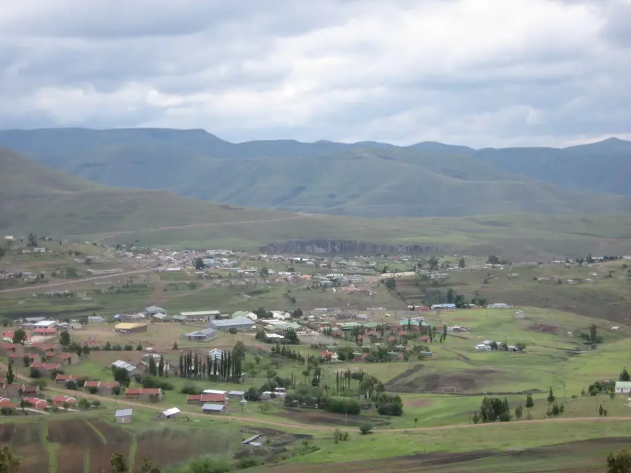
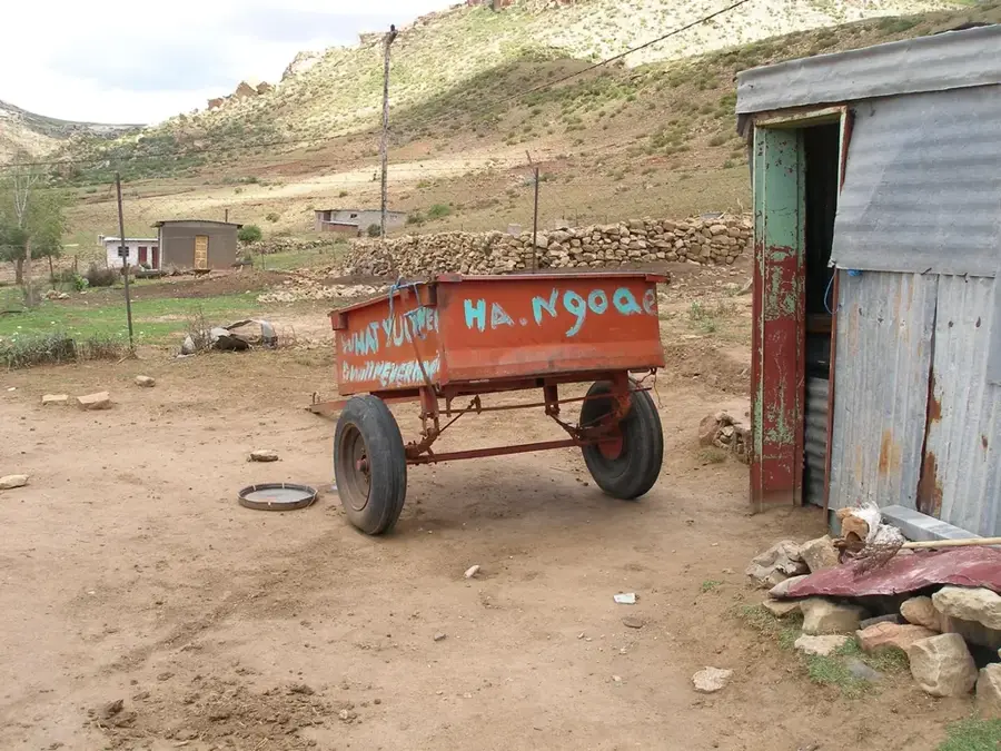
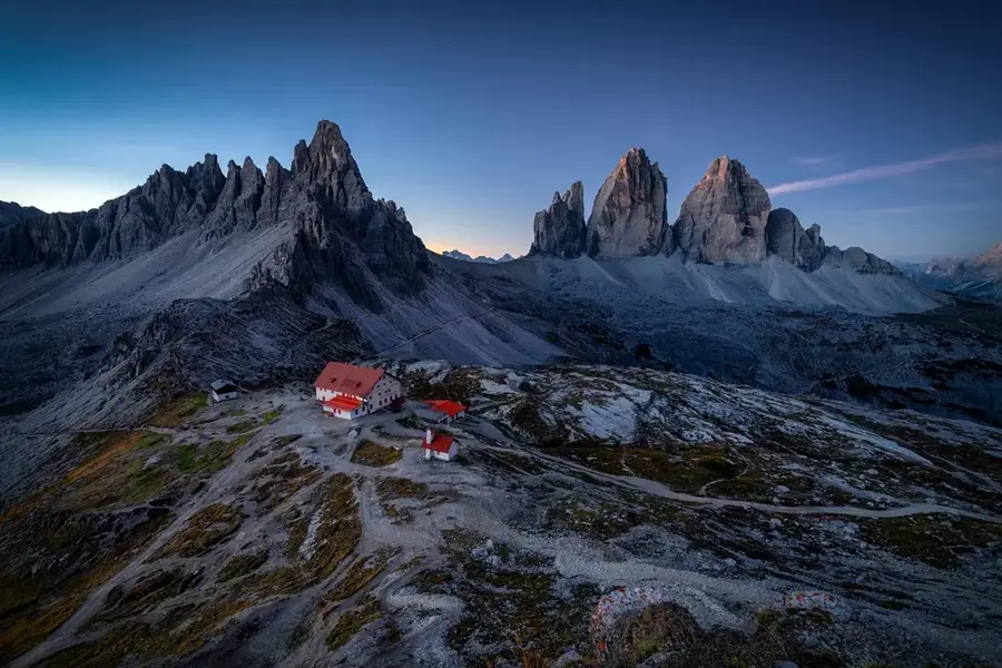
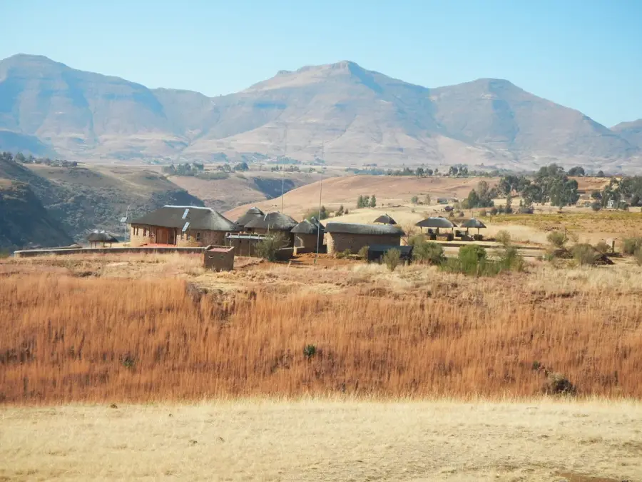
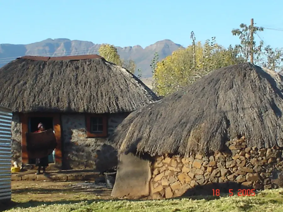
The Mantsonyane Bridge is a striking feat of modern civil engineering, spanning a precipitous gorge in the central highlands of Lesotho. As a pivotal link in the A3 highway, the bridge facilitates the primary east-west corridor across the country, connecting Maseru with the rugged interior districts. Its construction was a significant undertaking, designed to withstand the extreme weather and challenging terrain of the Maloti Mountains. Before the bridge’s completion, navigating this deep canyon was a formidable obstacle for travelers and logistics, but the current structure ensures safe, year-round passage. The view from the bridge is spectacular, offering a dramatic look at the steep rocky cliffs and the river winding far below. It stands as a symbol of progress in Lesotho’s infrastructure, demonstrating the ability to overcome geographical barriers to foster national connectivity. For those traveling through the highlands, the bridge is both a vital utility and a scenic highlight of the journey, representing the modern transformation of this mountainous nation.
- Location: Lesotho
- Nearby: Marakabei (11 km)
Best time to visit & climate
The most pleasant time to visit is Sep–Nov.
| Jan | Feb | Mar | Apr | May | Jun | Jul | Aug | Sep | Oct | Nov | Dec | |
|---|---|---|---|---|---|---|---|---|---|---|---|---|
| Avg °C | 15 | 15 | 13 | 9 | 6 | 3 | 3 | 5 | 9 | 12 | 14 | 15 |
| Rain mm | 216 | 182 | 119 | 67 | 17 | 12 | 12 | 22 | 30 | 81 | 115 | 176 |
📋 Practical info
Geography
Facts
- The bridge was completed in 1968.
- It is 40 meters long.
- The bridge is 5 meters wide.
- Located 180 km from Maseru.
- Has a load capacity of 15 tons.
- Connects 3 villages.
Explore nearby
Notable places around
Route planner — Car & Motorhome
Where do you start? We build the route here, with stops and country notes along the way.
© OpenStreetMap contributors · OpenRouteService
Sights nearby
Frequently asked questions
Where does the Mantsonyane Bridge cross the river?
What purpose does the bridge serve?
What is the landscape around the bridge like?
Is the bridge passable in winter?
Are there photo stops at the bridge?
Mantsonyane Bridge: where is it located?
Mantsonyane Bridge: when is the best time to visit?
Mantsonyane Bridge: why is it worth visiting?

Nearby cities
History & landmarks
Nature
More places