Plizio Visual Lab
Mantsonyane

ℹ️Practical info — Mantsonyane
▾
🌤 Weather — 5 days
📍 Nearby
Sights nearby
💡 Tips
- Dress in layers, as the weather in the highlands can change very rapidly.
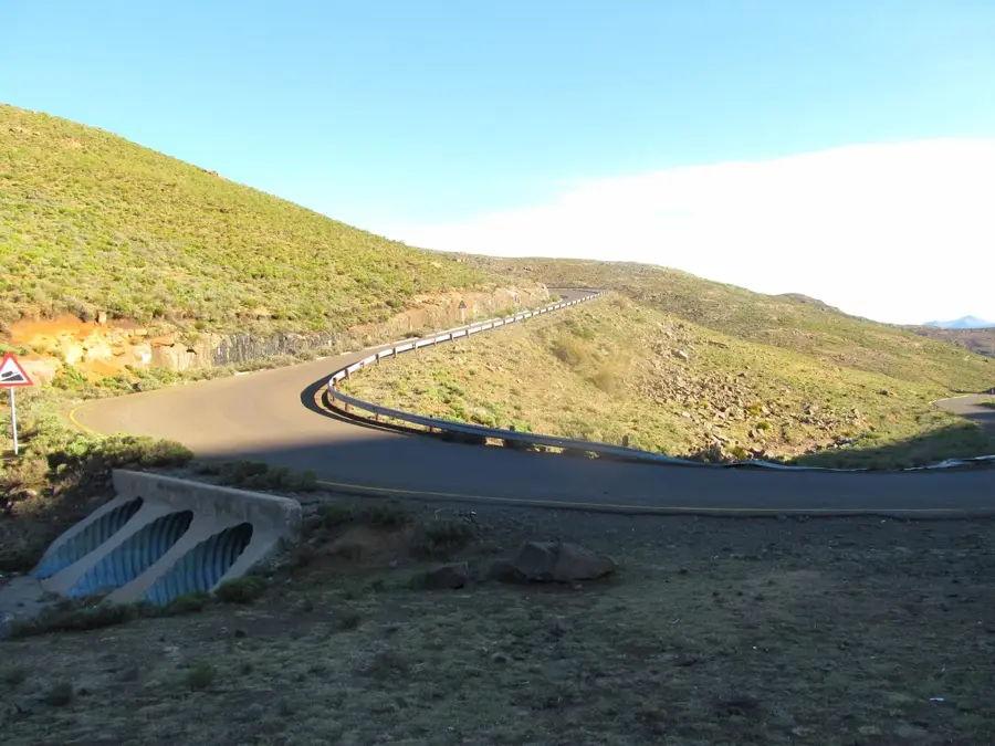
- Ensure your vehicle has good brakes to handle the steep mountain passes in the area.
- Keep your fuel tank topped up before heading deeper into the mountains, as stations are rare.
- Only pull over at safe spots off the main road to take photos of the deep valleys.
🍽 Food
A warming dish often served at small rest stops along the mountain roads.
A simple, hot snack sold by roadside vendors on chilly mountain days.
The spiced local sausage, often cooked over open fires.
🛍 Shopping · 🧘 Quiet spots
Items hand-knitted by highland locals, well-suited for beating the cold.
The local trading post is the place for essential supplies and small mementos.
Find a quiet spot at the edge of the settlement to look down towards the river.
The outskirts offer peaceful walking areas with beautiful mountain views.
Water temperature…
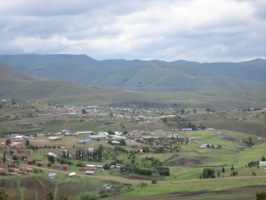
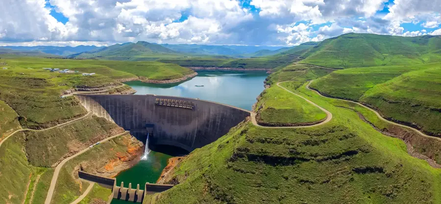
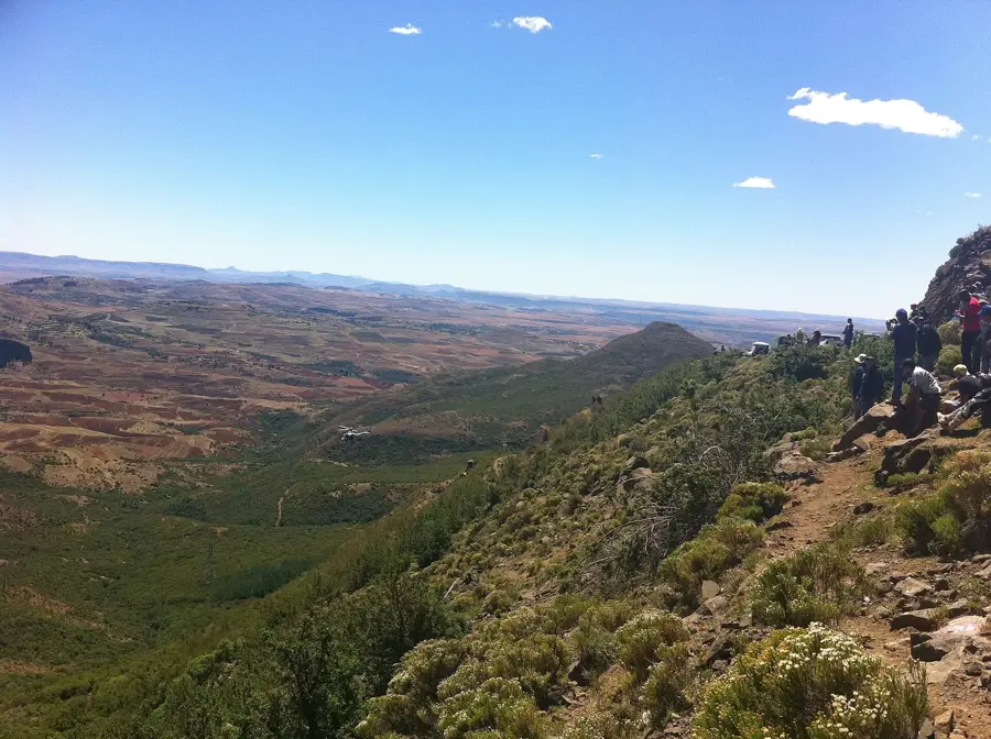
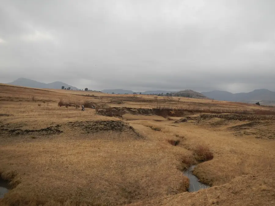
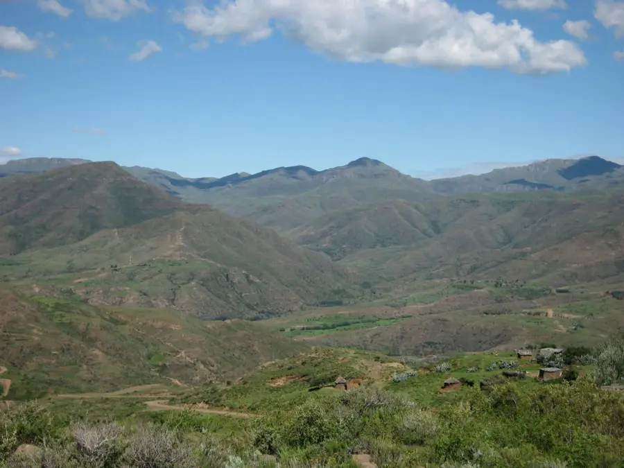
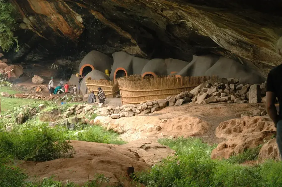
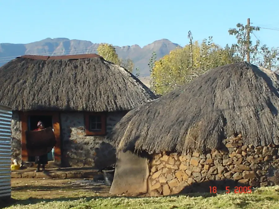
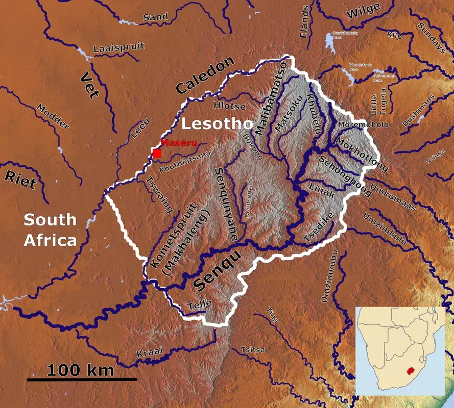
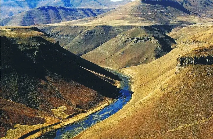
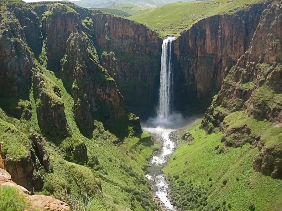
Mantsonyane is a significant small town in the Thaba-Tseka District, centrally located in the rugged highland regions of Lesotho. The settlement functions as a crucial service and commercial hub for the remote mountain areas and is particularly renowned for St. James Hospital, which provides vital medical care for central Lesotho. Geographically, Mantsonyane is tucked away in a deep valley surrounded by the peaks of the Maloti Mountains, making it a key waypoint along the central east-west road link. The local economy is driven by trade, services, and surrounding livestock farming, especially sheep and goats that produce high-quality mohair wool. Historically, the town grew from a small mission station into a modern administrative center. Mantsonyane also serves as a starting point for mountain trekking and provides a glimpse into authentic Basotho highland culture, far from the urban centers of the lowlands.
- Location: Lesotho
- Nearby: Marakabei (10 km)
- Population: ~5.965 (2023)
Best time to visit & climate
The most pleasant time to visit is Sep–Nov.
| Jan | Feb | Mar | Apr | May | Jun | Jul | Aug | Sep | Oct | Nov | Dec | |
|---|---|---|---|---|---|---|---|---|---|---|---|---|
| Avg °C | 15 | 15 | 13 | 9 | 6 | 3 | 3 | 5 | 9 | 12 | 14 | 15 |
| Rain mm | 216 | 182 | 119 | 67 | 17 | 12 | 12 | 22 | 30 | 81 | 115 | 176 |
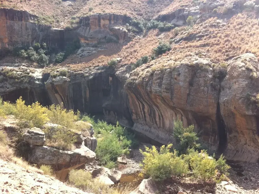
Geography
Facts
- Central town located in the Thaba-Tseka District
- Home to St. James Hospital, established in the 1960s
- Important trading post for mohair wool and livestock
- Situated along the strategic A3 east-west road link
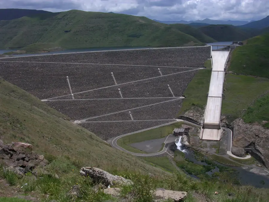
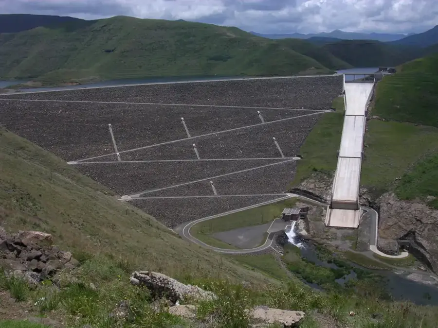
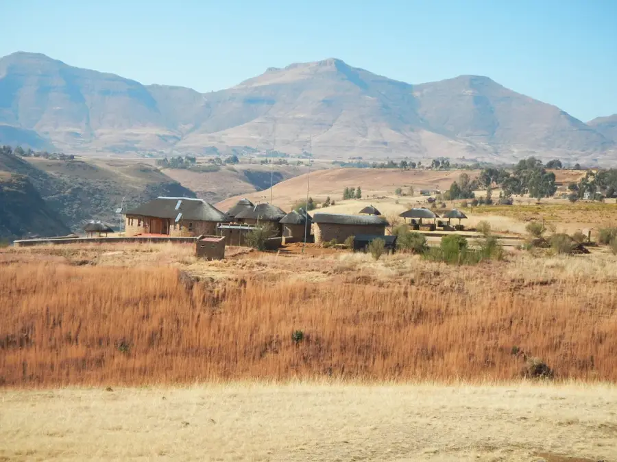
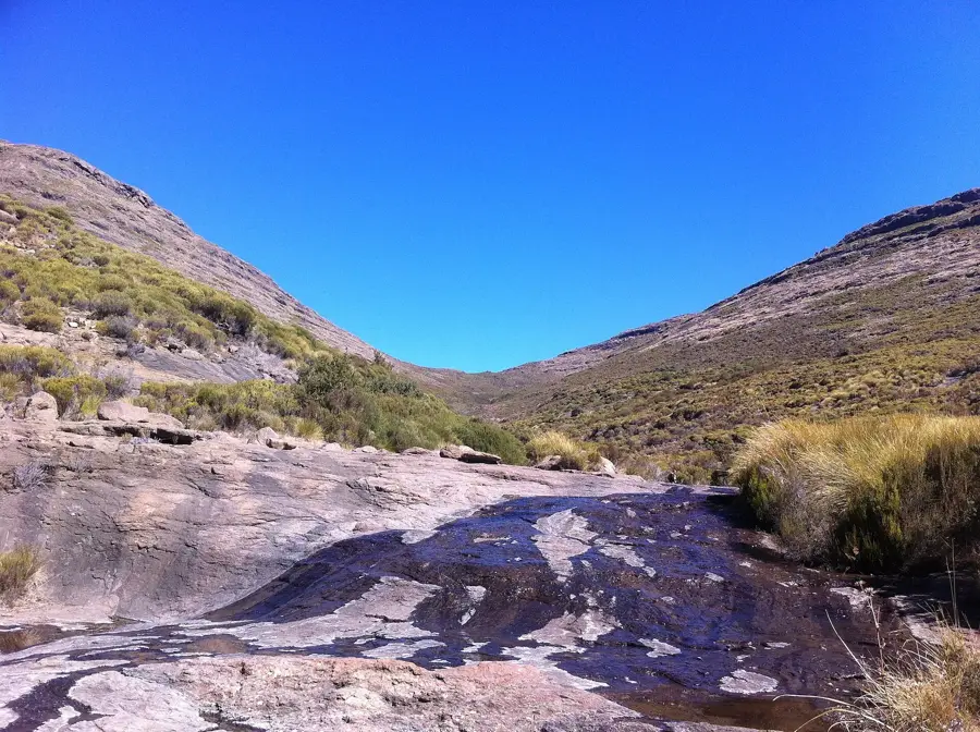
- Surrounded by the Maloti Mountains and alpine landscapes
- Serves as a regional educational hub with several schools
Explore nearby
Notable places around
Route planner — Car & Motorhome
Where do you start? We build the route here, with stops and country notes along the way.
© OpenStreetMap contributors · OpenRouteService
Frequently asked questions
Where is Mantsonyane located?
What is special about Mantsonyane?
Is there a hospital there?
What are the surroundings like?
Can you go hiking there?
Mantsonyane: where is it located?
Mantsonyane: when is the best time to visit?
Mantsonyane: why is it worth visiting?

Nearby cities
History & landmarks
Nature


More places