Plizio Visual Lab
Molimo Nthuse
ℹ️Practical info — Molimo Nthuse
▾
🌤 Weather — 5 days
📍 Nearby
Sights nearby
💡 Tips
- Drive the 'God Help Me' pass with extreme caution, especially in wet or icy conditions.
- Book your Basotho pony trek well in advance to ensure availability.
- Stop at the highest point of the pass to take memorable panoramic photos.
- Be prepared for sudden temperature drops and bring a warm jacket.
🍽 Food
Ask your lodge to prepare a convenient packed lunch for your pony trek.
Enjoy a hot drink at the base of the pass before you begin the drive up.
A hearty, restoring meal often served at the small lodges in the area.
🛍 Shopping · 🧘 Quiet spots
Small mementos sold at the pony trekking center.
Local handmade jewelry often sold on the roadside near the pass.
Take in the memorable silence of the mountains at the very top of the road.
The peaceful streams at the base of the pass are first-rate for a short walk.
Water temperature…
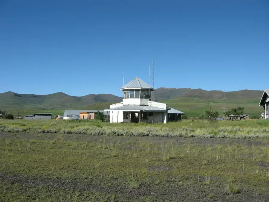
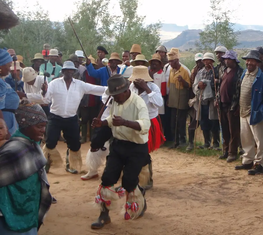
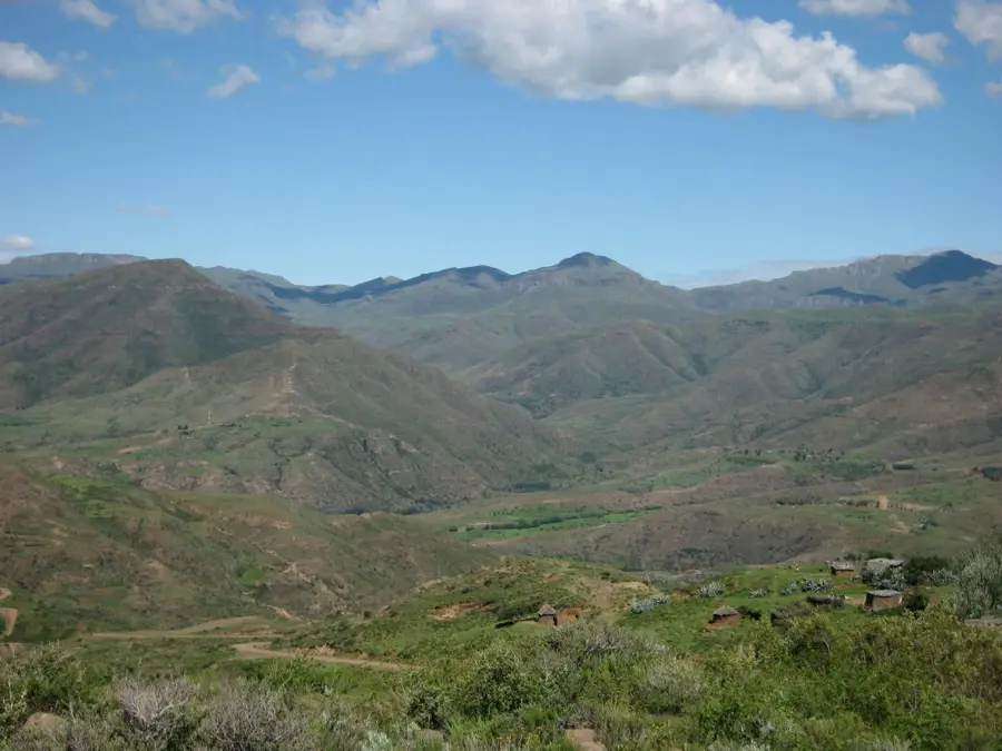
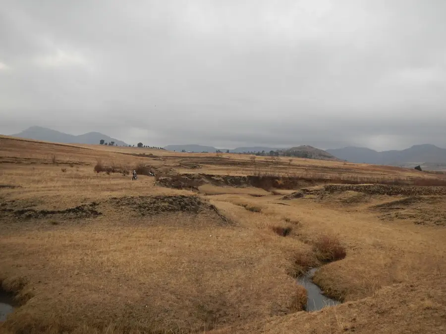
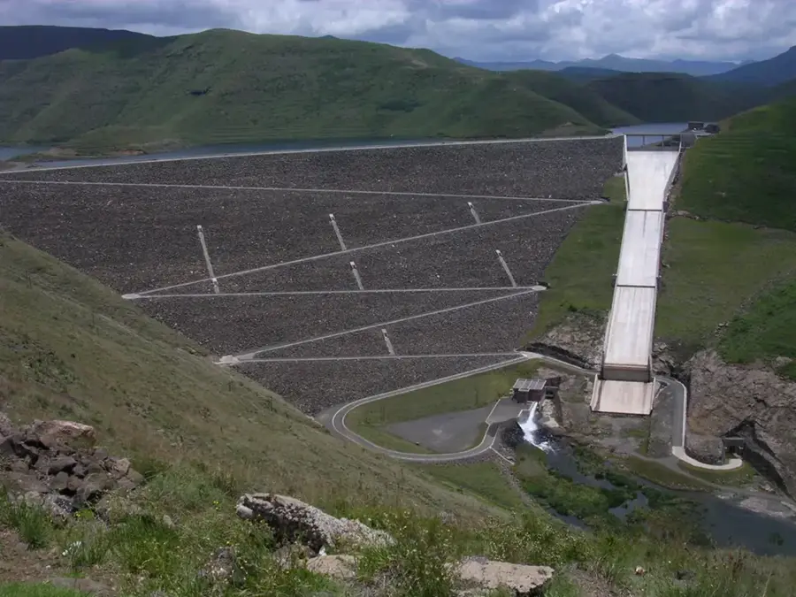
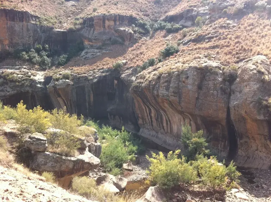
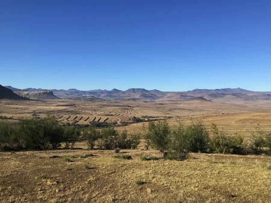
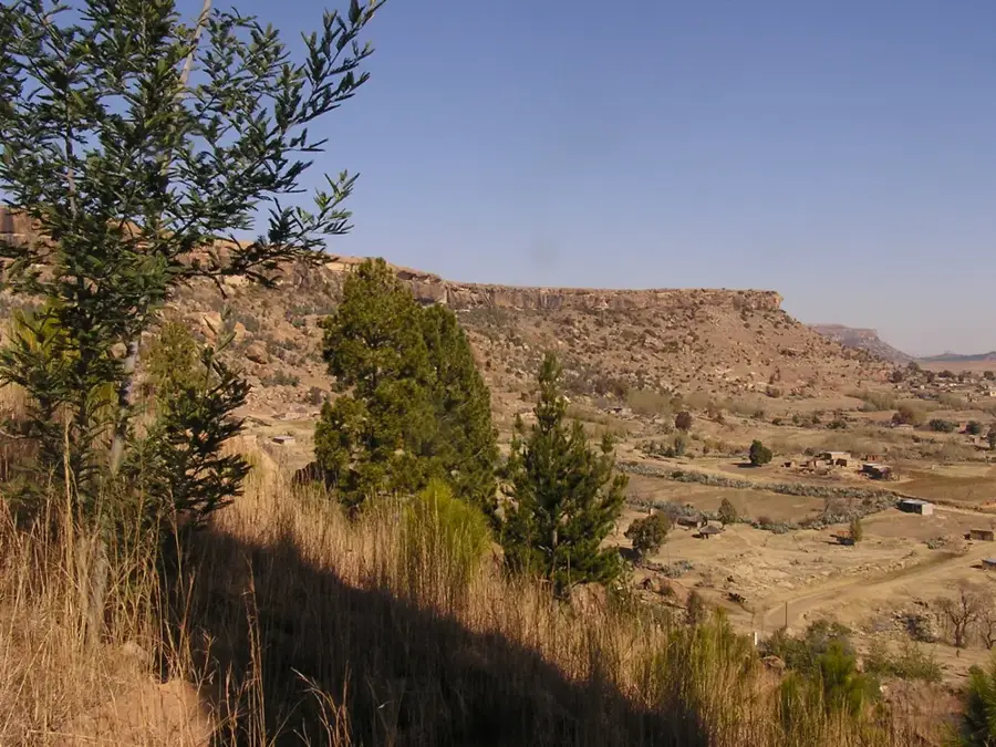
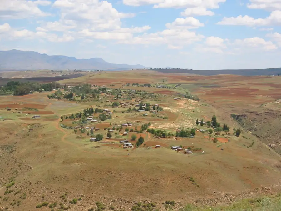
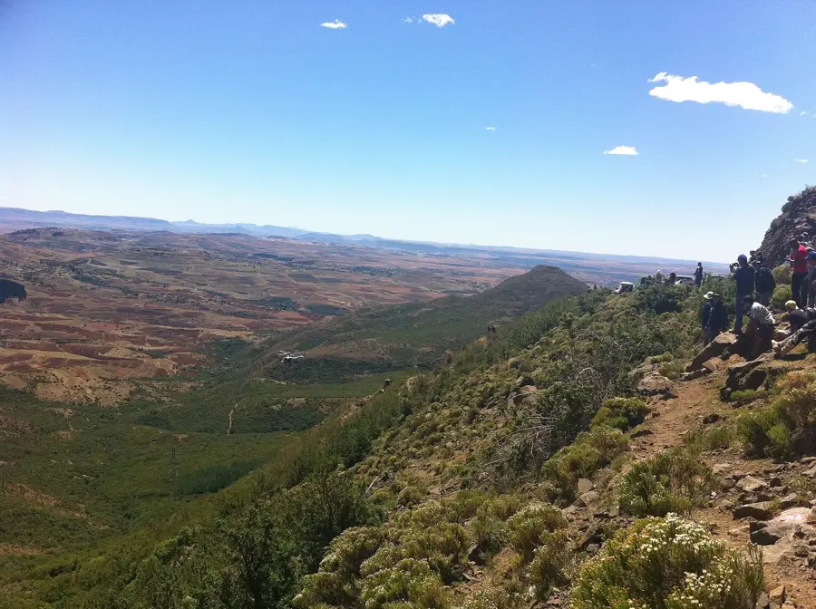
Molimo Nthuse is a significant mountain pass and settlement located in the Maseru District of Lesotho, situated along the A3 highway which connects the capital to the interior highlands. The name translates from Sesotho as "God Help Me," reflecting the historic difficulty and steepness of the terrain that travelers faced before the modern road was constructed. At an elevation of approximately 2,315 meters above sea level, the area provides expansive views of the Maloti Mountains and serves as a gateway to the more remote eastern regions. The surrounding landscape is characterized by rugged basaltic cliffs and alpine vegetation, typical of the Lesotho highlands. It has become a notable stop for travelers, featuring local craft markets and the Molimo Nthuse Lodge, which was one of the first mountain retreats in the country. The pass remains a vital transport link, especially for the communities residing in the Thaba-Tseka district.
- Location: Lesotho
- Nearby: Ha Ntsi (6 km)
Best time to visit & climate
The most pleasant time to visit is Jan, Feb, Dec.
| Jan | Feb | Mar | Apr | May | Jun | Jul | Aug | Sep | Oct | Nov | Dec | |
|---|---|---|---|---|---|---|---|---|---|---|---|---|
| Avg °C | 17 | 16 | 14 | 10 | 7 | 4 | 4 | 6 | 10 | 13 | 14 | 16 |
| Rain mm | 124 | 104 | 83 | 62 | 21 | 20 | 10 | 24 | 24 | 69 | 93 | 116 |
Geography
Facts
- Pass elevation is 2315 meters above sea level.
- Name translates as "God Help Me" in Sesotho.
- Located on the strategic A3 mountain highway.
- Administratively part of the Maseru District.
- Famous for the historic Molimo Nthuse Lodge.
- Acts as a gateway to the interior Maloti range.
Explore nearby
Notable places around
Route planner — Car & Motorhome
Where do you start? We build the route here, with stops and country notes along the way.
© OpenStreetMap contributors · OpenRouteService
Sights in the town Molimo Nthuse (1)
Frequently asked questions
What does Molimo Nthuse mean?
Are there accommodations there?
What can you do there?
How do you reach the place?
What is the view like?
Molimo Nthuse: where is it located?
Molimo Nthuse: when is the best time to visit?
Molimo Nthuse: why is it worth visiting?

Nearby cities