Plizio Visual Lab
Machache Mountain
Weather…
Water temperature…
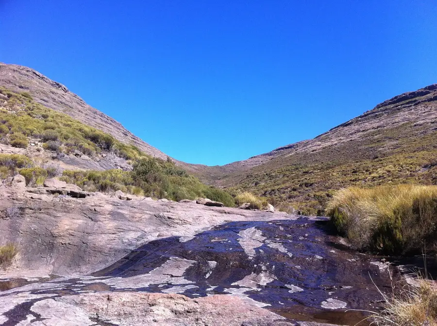
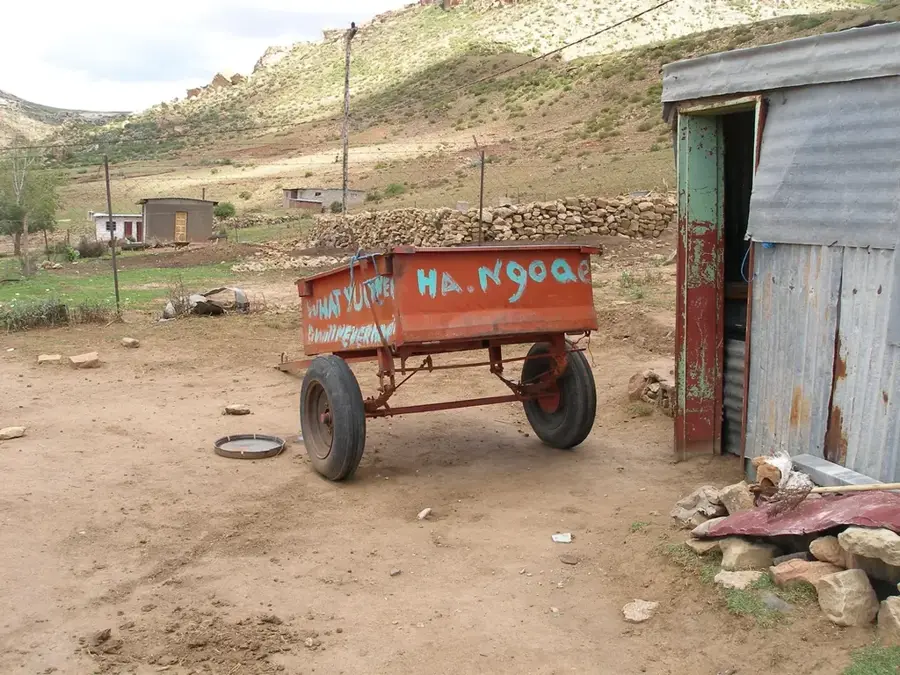
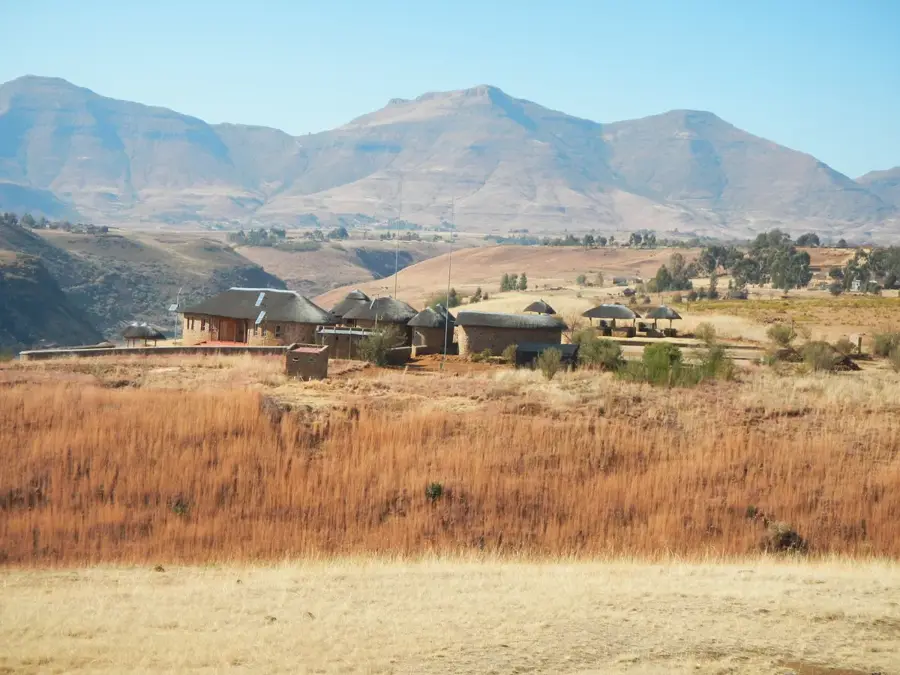
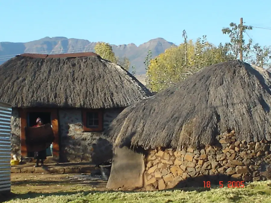
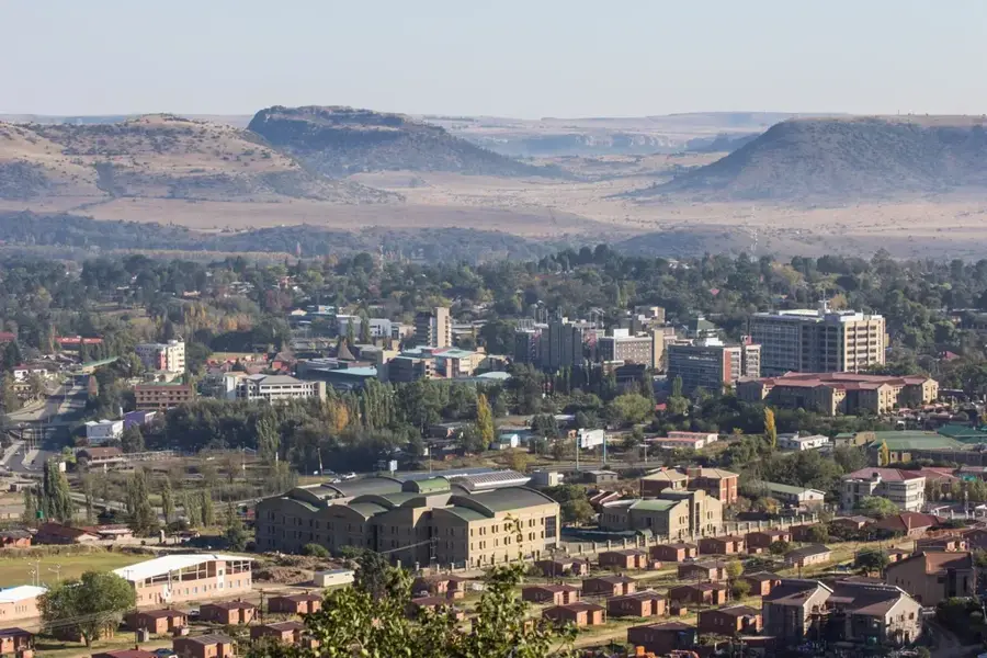
Machache Mountain is a dominant peak within the Maloti Range, part of the extensive Drakensberg-Maloti system in Lesotho. Standing at approximately 2,886 meters above sea level, it is the highest point in its immediate vicinity and a clear landmark for those traveling near the capital city, Maseru. The mountain is primarily composed of dark basaltic rock, a testament to the region's volcanic origins millions of years ago. Its rugged ridges and steep slopes provide a dramatic backdrop to the western lowlands of the country. Climbing Machache is a popular excursion for hikers seeking to experience Lesotho's unique high-altitude terrain without traveling to the more remote eastern highlands. The summit provides sweeping, unobstructed views of the surrounding valleys and the rolling hills that define the Basotho landscape. Along its slopes, one can often find local shepherds tending to their livestock, embodying the traditional pastoralist culture that remains vital to Lesotho. During the colder months, the peak is frequently dusted with snow, adding to its majestic appearance and making it a significant site for understanding the climatic diversity of the southern African interior.
- Location: Lesotho
- Nearby: Ha Baroana (5 km)
Best time to visit & climate
The most pleasant time to visit is Jan, Feb, Dec.
| Jan | Feb | Mar | Apr | May | Jun | Jul | Aug | Sep | Oct | Nov | Dec | |
|---|---|---|---|---|---|---|---|---|---|---|---|---|
| Avg °C | 17 | 16 | 14 | 10 | 7 | 4 | 4 | 6 | 10 | 13 | 14 | 16 |
| Rain mm | 124 | 104 | 83 | 62 | 21 | 20 | 10 | 24 | 24 | 69 | 93 | 116 |
📋 Practical info
Geography
Facts
- Machache Mountain elevation is 2,092 m (6,864 ft).
- It is located 30 km (19 mi) southwest of Maseru.
- Coordinates: 29°32' S, 27°29' E.
- The mountain is part of a ridge separating lowlands from highlands.
- Average annual rainfall is about 800 mm (31.5 in).
- Population density of surrounding villages is about 50 people per km².
Explore nearby
Notable places around
Route planner — Car & Motorhome
Where do you start? We build the route here, with stops and country notes along the way.
© OpenStreetMap contributors · OpenRouteService
Sights nearby
Frequently asked questions
Where is Machache Mountain located?
How high is Machache?
Is Machache a popular hiking destination?
Is there snow on the peak?
Do you need a permit for the climb?
Machache Mountain: where is it located?
Machache Mountain: when is the best time to visit?
Machache Mountain: why is it worth visiting?

Nearby cities
History & landmarks

Nature
More places