Plizio Visual Lab
Mashai

ℹ️Practical info — Mashai
▾
🌤 Weather — 5 days
📍 Nearby
Sights nearby
💡 Tips
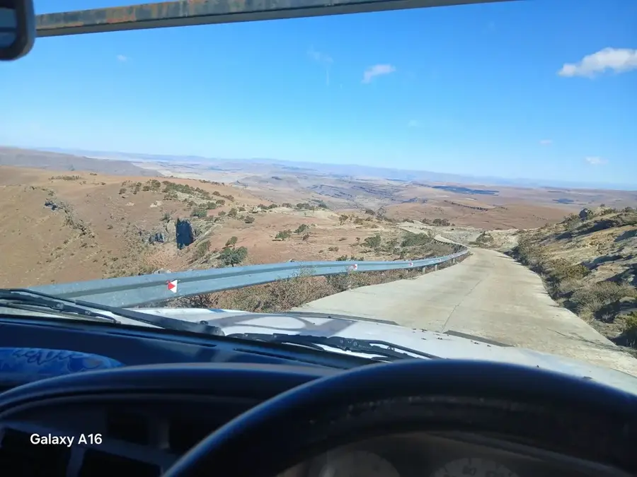
- The Mashai Plateau is known for strong winds; pack a good quality windbreaker even on sunny days.
- This area is fantastic for pony trekking; ask a local headman or guide to arrange a sturdy Basotho pony for you.
- Altitude sickness can be a real issue here; take your time, stay hydrated, and acclimatize before strenuous hikes.
- Cell phone reception can be very patchy; download offline maps and let someone know your route beforehand.
🍽 Food
Rich stews made with locally raised mutton or beef, slowly cooked over an open fire.
Fresh bread baked in a cast-iron pot over coals, best enjoyed warm with a bit of butter if available.
🛍 Shopping · 🧘 Quiet spots
Essential for the high altitude cold, you might find locals willing to sell or trade these iconic, colorful woolen blankets.
Local craftsmen occasionally sell handmade leather reins or woven accessories for horseback riding.
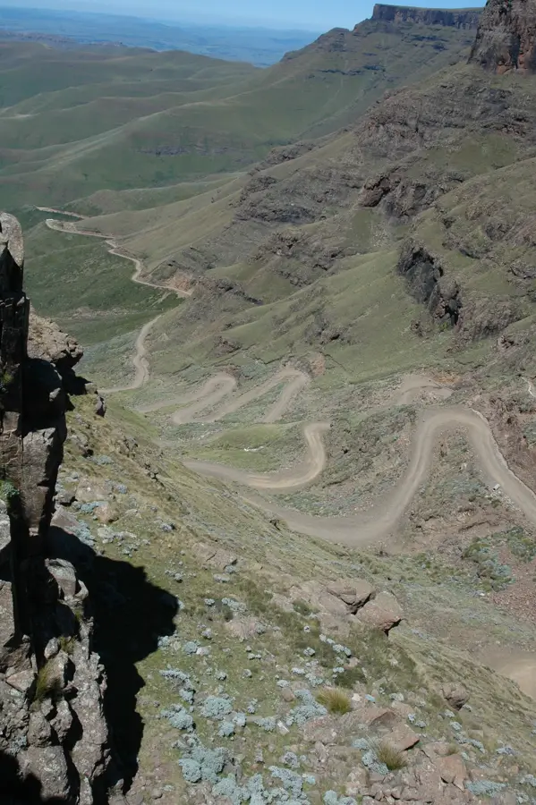
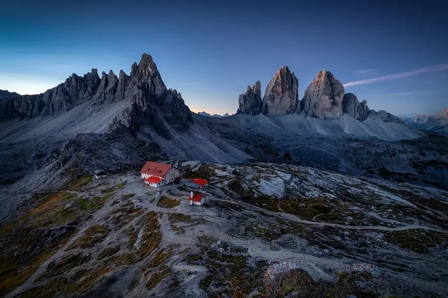
Hike to the edge of the plateau for dramatic, silent views over the rugged valleys below.
Walk out into the open grasslands to experience the deep solitude and whistling winds of the Lesotho highlands.
Water temperature…
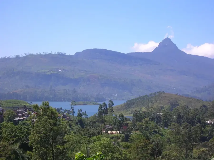
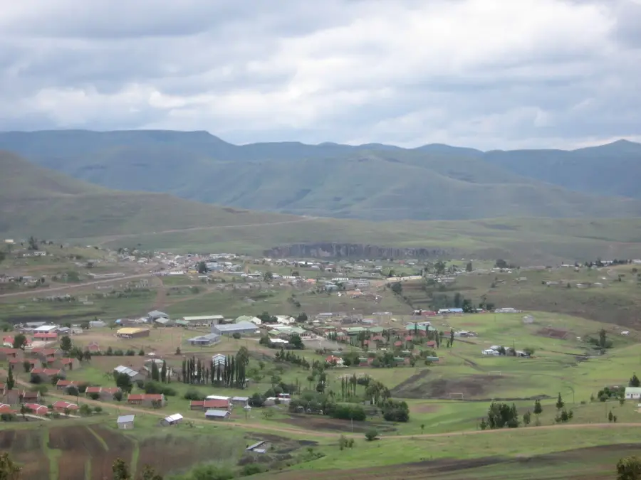
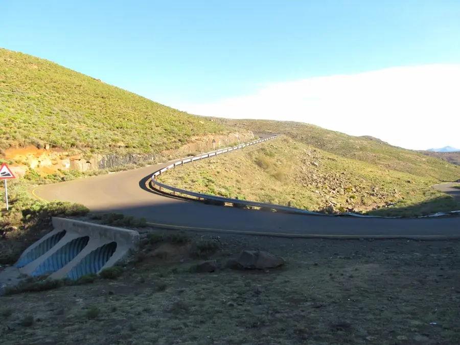
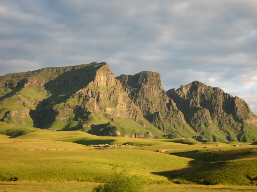
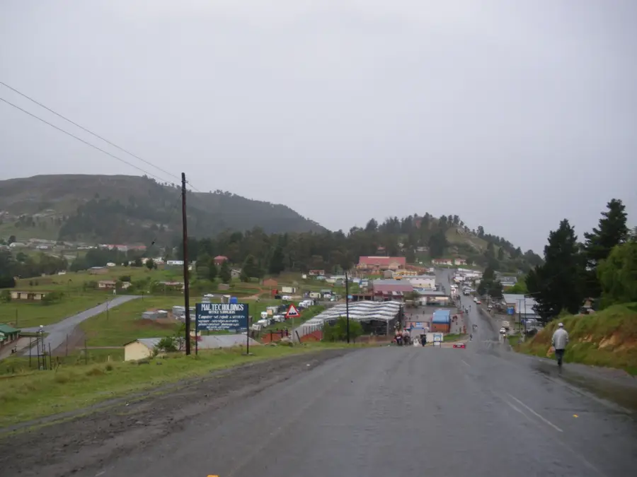
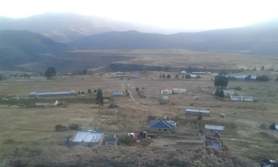
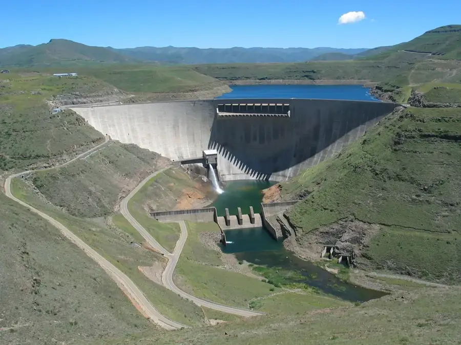
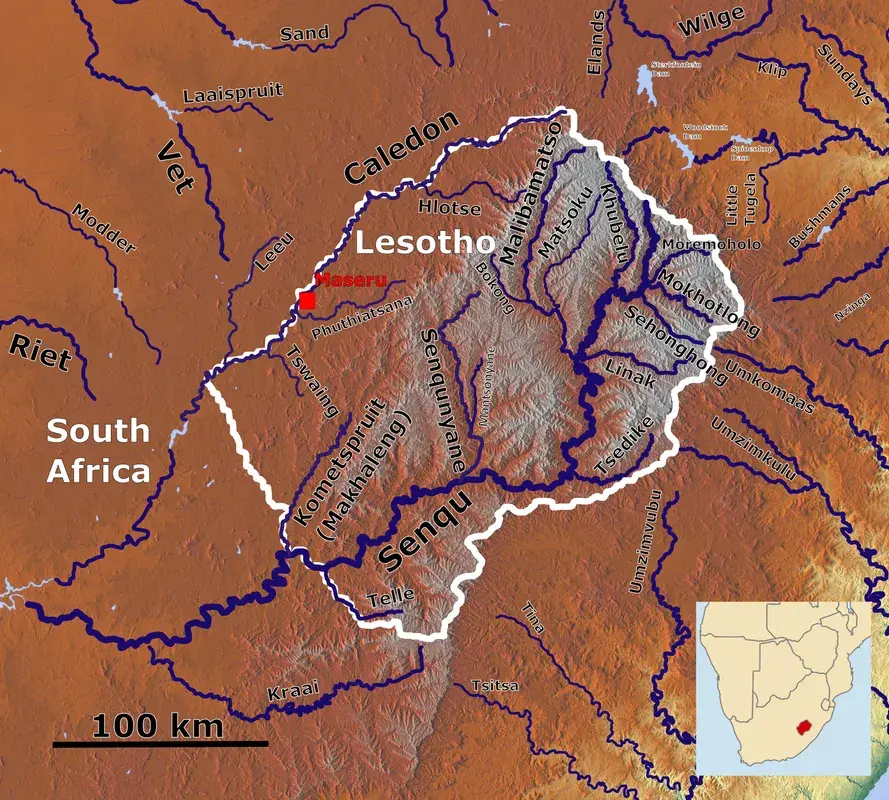
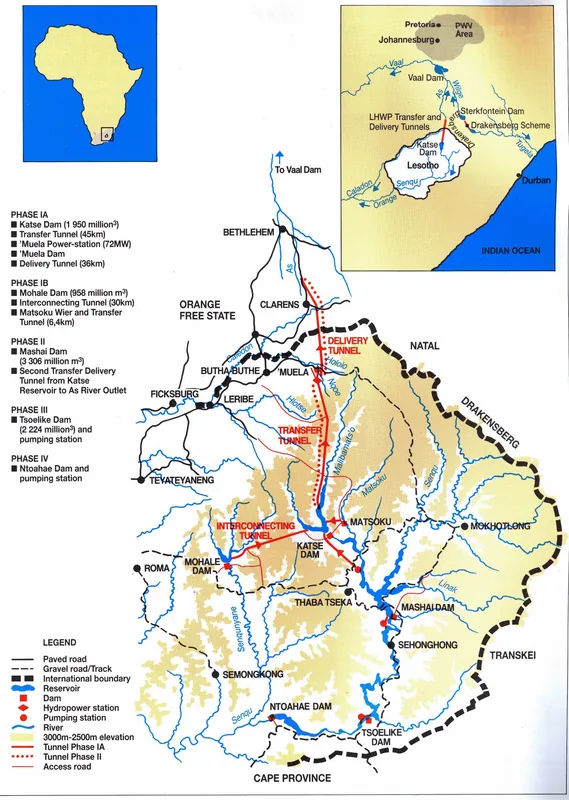
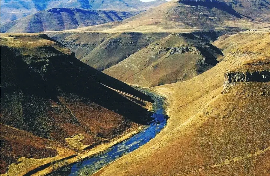
Mashai is a remote highland village located in the Thaba-Tseka District, set deep within the central mountains of Lesotho. Situated at an elevation of approximately 2,100 meters, the settlement is renowned for its spectacular alpine scenery and the well-preserved traditional lifestyle of the Basotho people. Mashai serves as a primary hub for pony trekking expeditions, as Basotho ponies remain the most reliable mode of transport across the rugged local terrain. The region is defined by deep gorges and expansive plateaus that provide convenient grazing grounds for Merino sheep and Angora goats. The nearby Senqu River has significantly sculpted the landscape over millennia, creating dramatic vistas for travelers. Mashai embodies the raw beauty of the Lesotho highlands, offering visitors an authentic experience of rural culture in the "Kingdom in the Sky." The local economy is driven by livestock farming and a growing sector of sustainable adventure tourism centered on the village's unique equestrian heritage.
- Location: Lesotho
- Nearby: Ha Rafanyane (24 km)
Best time to visit & climate
The most pleasant time to visit is Sep–Nov.
| Jan | Feb | Mar | Apr | May | Jun | Jul | Aug | Sep | Oct | Nov | Dec | |
|---|---|---|---|---|---|---|---|---|---|---|---|---|
| Avg °C | 15 | 15 | 13 | 9 | 6 | 3 | 3 | 5 | 9 | 12 | 14 | 15 |
| Rain mm | 216 | 182 | 119 | 67 | 17 | 12 | 12 | 22 | 30 | 81 | 115 | 176 |
Geography
Facts
- Mashai is situated at an elevation of about 2,100 meters.
- The village is located within the Thaba-Tseka District.
- Basotho ponies are the primary mode of transportation.
- It serves as a key hub for high-altitude pony trekking.
- Nearby rivers offer premier spots for trout fishing.
- Traditional livestock farming is the main local livelihood.
Explore nearby
Notable places around
Route planner — Car & Motorhome
Where do you start? We build the route here, with stops and country notes along the way.
© OpenStreetMap contributors · OpenRouteService
Frequently asked questions
What is special about Mashai?
Is there an airstrip there?
Can you go hiking in Mashai?
Is there mobile phone reception?
What supplies should be brought along?
Mashai: where is it located?
Mashai: when is the best time to visit?
Mashai: why is it worth visiting?

Nearby cities

History & landmarks
Nature
More places