Plizio Visual Lab
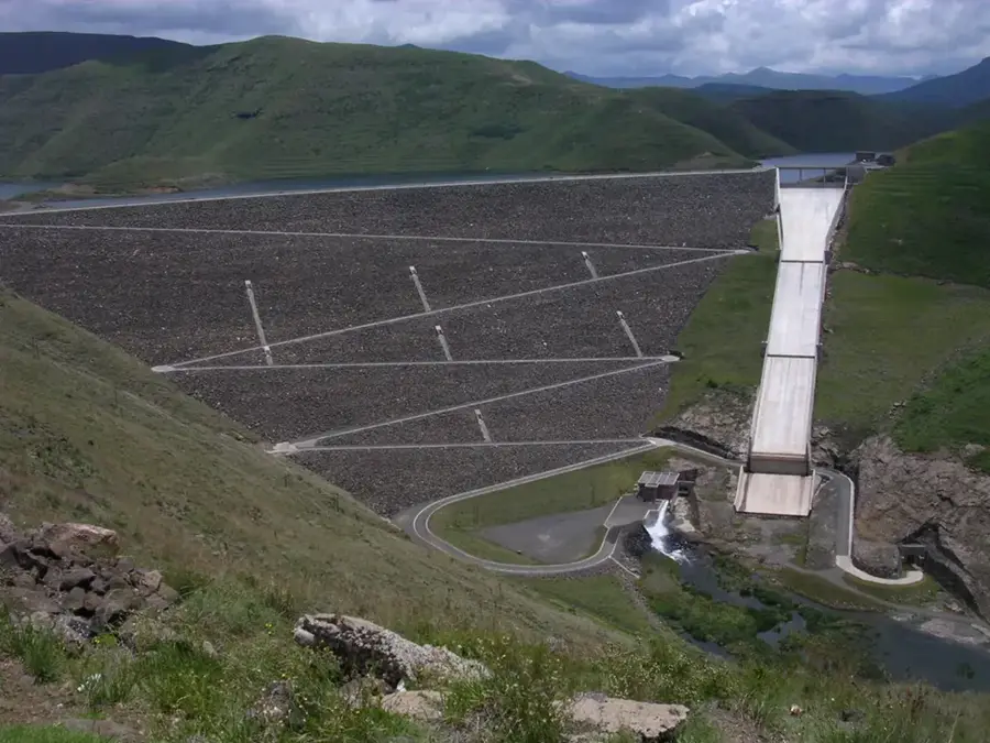
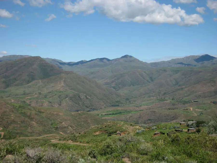
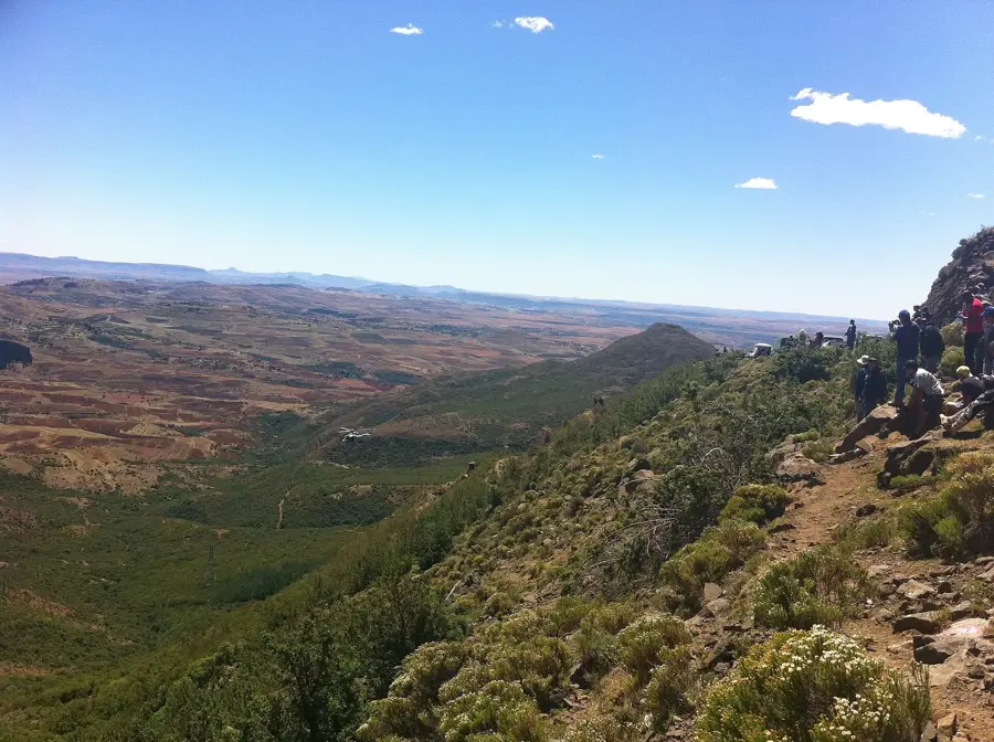
Thaba Putsoa

Weather…
Water temperature…
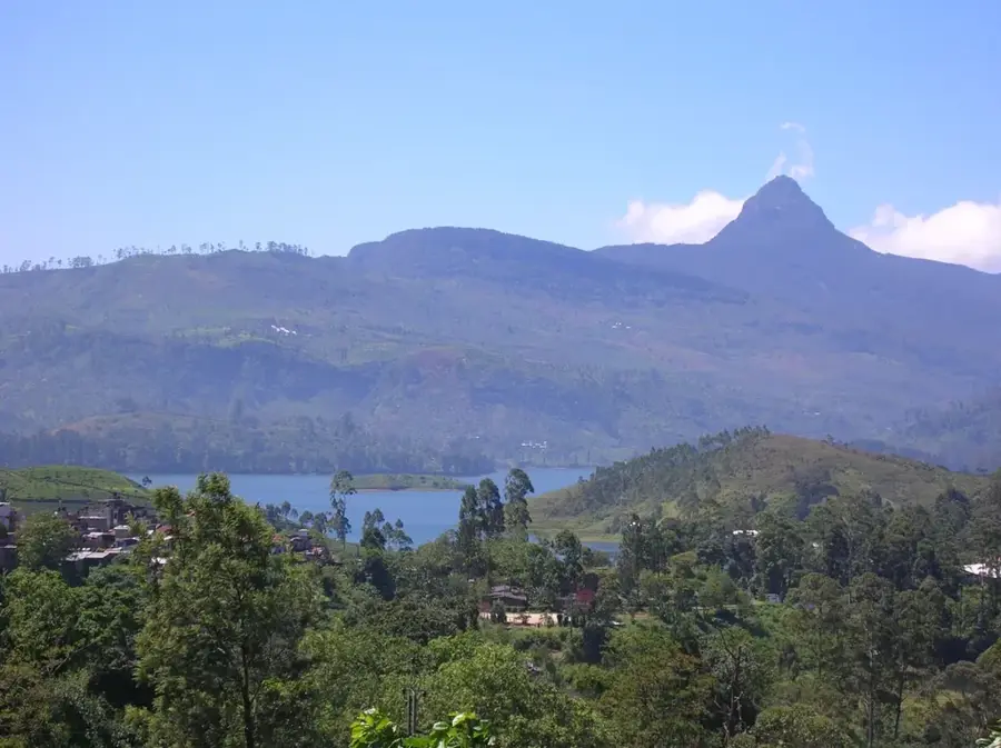
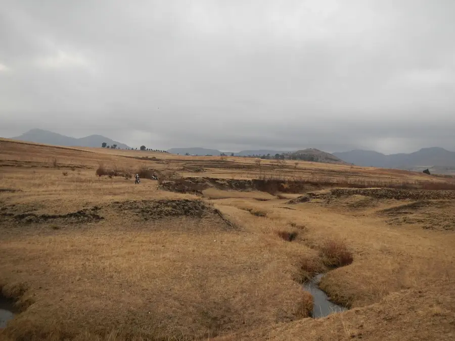
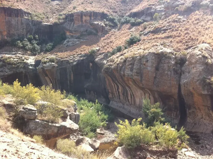
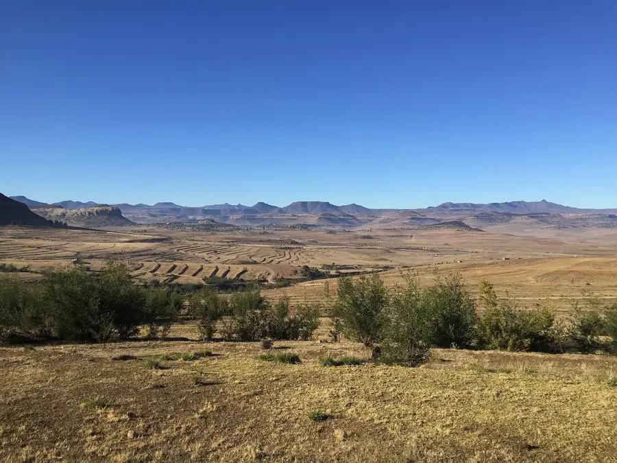
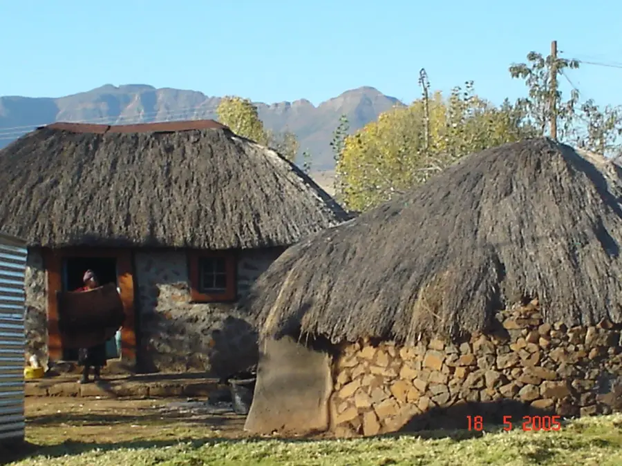
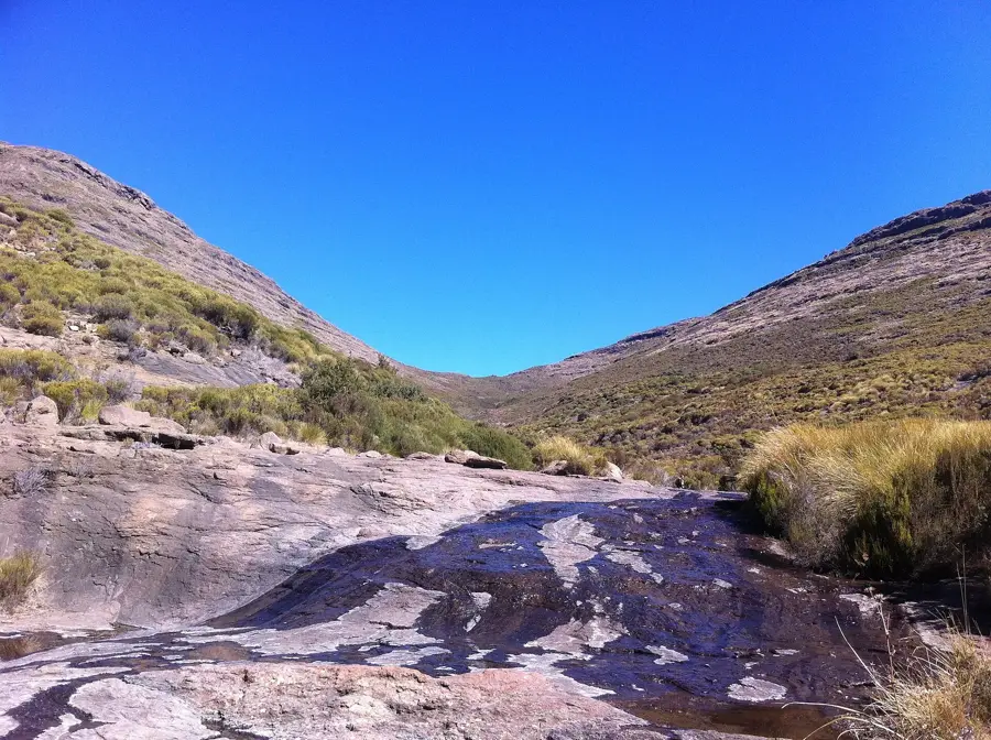
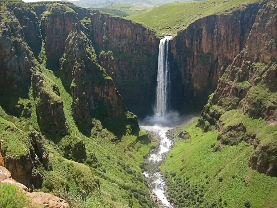
Thaba Putsoa, whose name directly translates to "Blue Mountain" in the Sesotho language, is a dominating peak in the central highlands of Lesotho. The mountain earns its name from the distinctive, bluish tint that its steep rock faces assume under certain lighting conditions and atmospheric humidity. Rising to nearly 3,100 meters, it stands out prominently among the surrounding massifs and presents a significant challenge for experienced mountaineers and trekkers. The harsh alpine climate of Thaba Putsoa supports a highly specialized, cold-resistant flora on its steep slopes. During the brief summer months, solitary shepherds bring their flocks of sheep and ponies to graze on these high pastures. Geologically, the mountain is primarily composed of basalt, characteristic of the entire Lesotho highland plateau. Thaba Putsoa also serves as a critical habitat for rare birds of prey, such as the bearded vulture, which nests within its inaccessible cliffs. The profound silence and solitude of this mountain make it a powerful symbol of Lesotho's pristine wilderness, which remains explored by only a few dedicated adventurers.
- Location: Lesotho
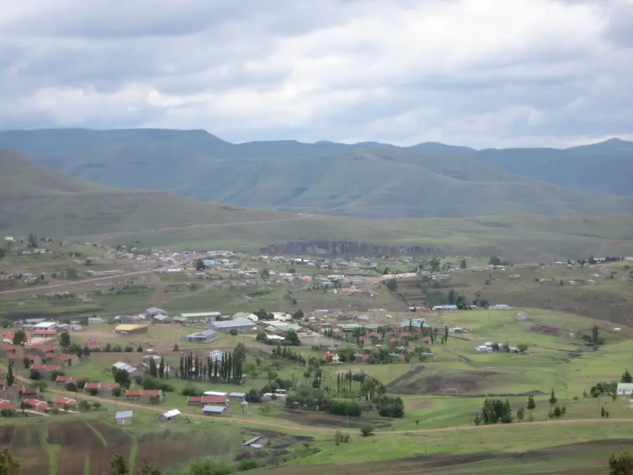
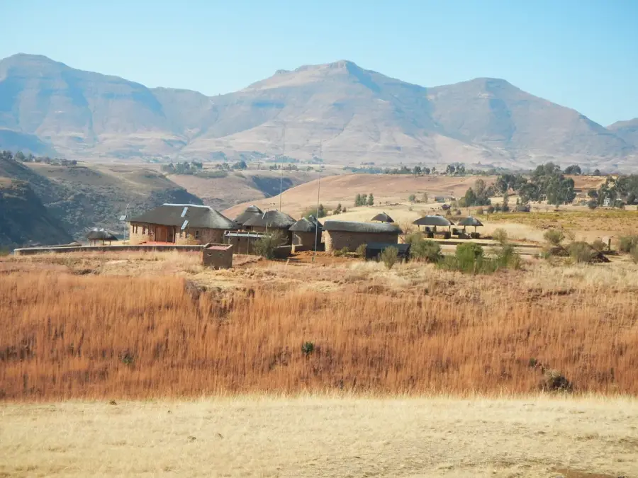
- Nearby: Marakabei (16 km)
Best time to visit & climate
The most pleasant time to visit is Jan, Feb, Dec.
| Jan | Feb | Mar | Apr | May | Jun | Jul | Aug | Sep | Oct | Nov | Dec | |
|---|---|---|---|---|---|---|---|---|---|---|---|---|
| Avg °C | 17 | 16 | 14 | 10 | 7 | 4 | 4 | 6 | 10 | 13 | 14 | 16 |
| Rain mm | 124 | 104 | 83 | 62 | 21 | 20 | 10 | 24 | 24 | 69 | 93 | 116 |
📋 Practical info
Geography
Facts
- Name means 'Blue Mountain' due to its rock coloration.
- Reaches an elevation of approximately 3,096 meters.
- Critical nesting site for the rare bearded vulture.
- Part of the central Lesotho highland mountain range.
- Features highly specialized, cold-resistant alpine flora.
- Primarily used by traditional shepherds for grazing.
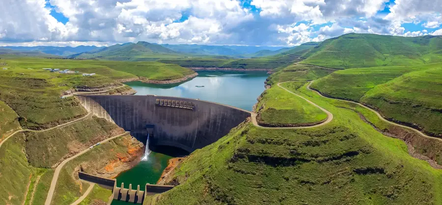
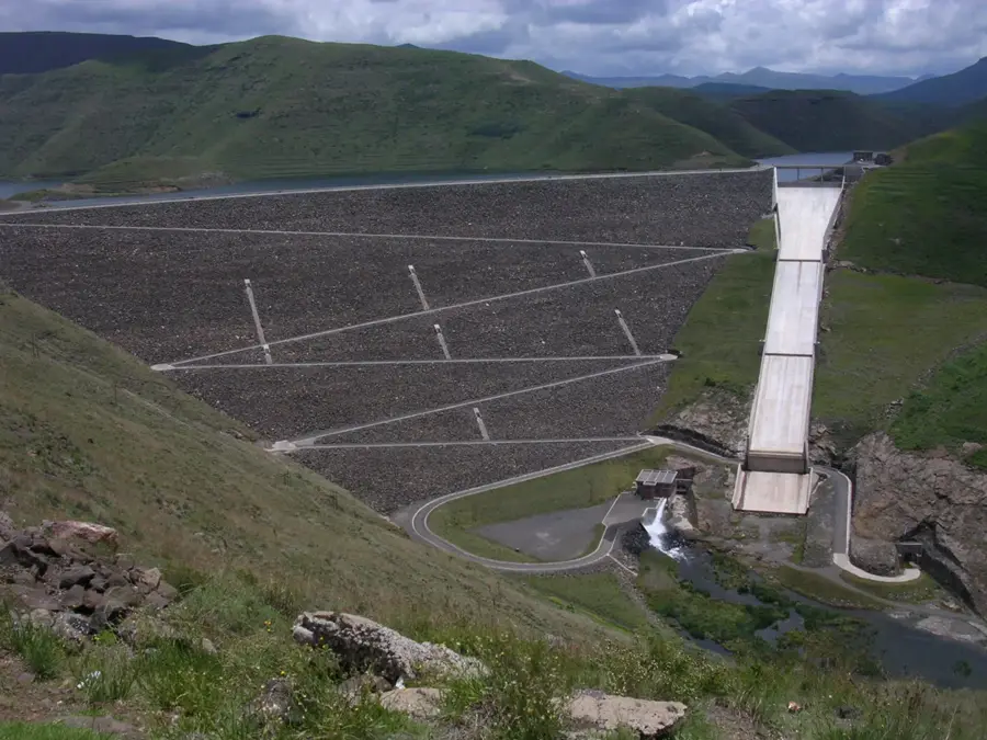
Explore nearby
Notable places around
Route planner — Car & Motorhome
Where do you start? We build the route here, with stops and country notes along the way.
© OpenStreetMap contributors · OpenRouteService
Sights nearby
Frequently asked questions
What does the name 'Thaba Putsoa' mean?
What altitude does this mountain reach?
Are there marked hiking trails?
How is the weather at Thaba Putsoa?
Can you climb the mountain without a guide?
Thaba Putsoa: where is it located?
Thaba Putsoa: when is the best time to visit?
Thaba Putsoa: why is it worth visiting?

Nearby cities
History & landmarks
Nature

More places