Plizio Visual Lab
Mamoheli Mountain

Weather…
Water temperature…
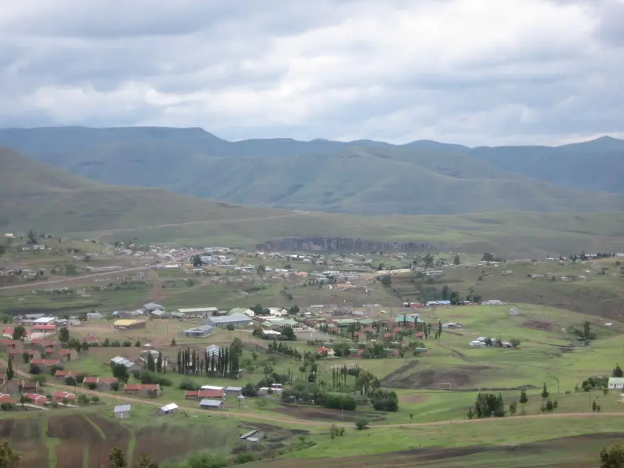
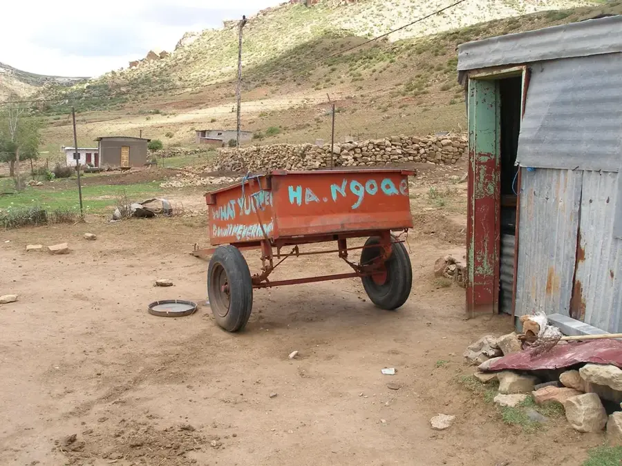
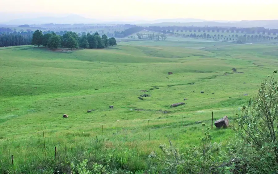
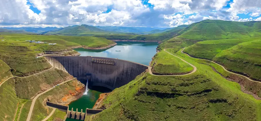
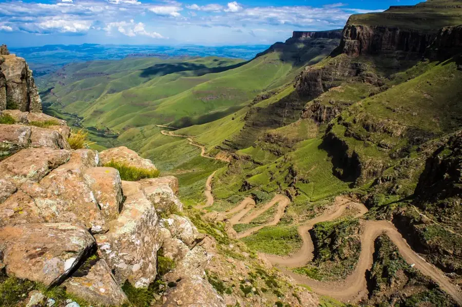
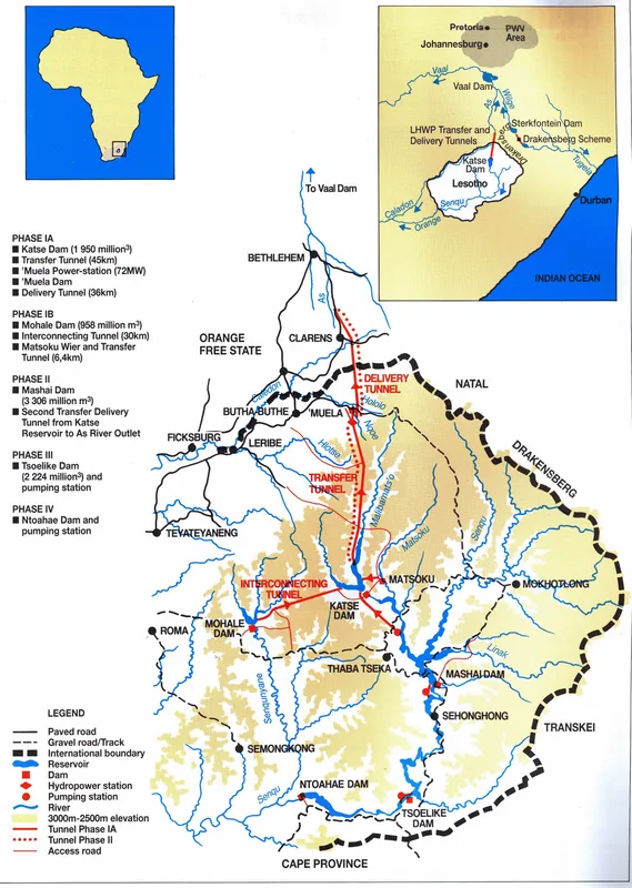
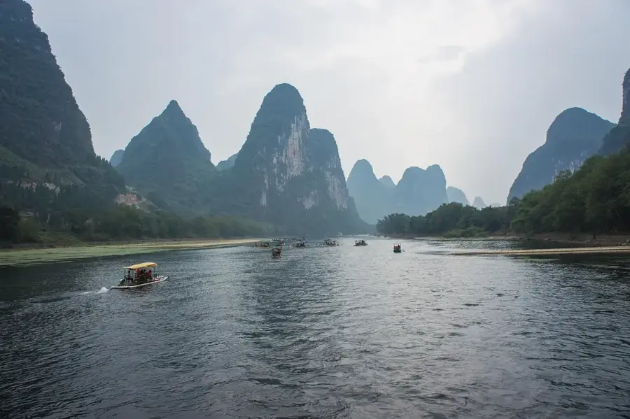
Mamoheli Mountain is a prominent peak located in the Thaba-Tseka District of Lesotho, rising significantly above the central highland plateau. Reaching an elevation of over 3,000 meters, it is an integral part of the Maloti mountain range that defines the rugged geography of the country. The mountain's structure is dominated by ancient basalt formations, which give the slopes their dark, imposing appearance. Due to its high altitude, the area experiences a sub-alpine climate where snow is common during the winter months from June to August. The surrounding region is home to traditional Basotho pastoralist communities, known for their unique wool blankets and reliance on the sturdy Basotho pony for transportation through the steep terrain. Mamoheli is frequently shrouded in clouds, contributing to its reputation as a mysterious and remote landmark. It provides adventurous hikers a chance to experience the solitude of the 'Kingdom in the Sky' with vast vistas of rolling peaks and deep valleys carved by mountain streams.
- Location: Lesotho
- Nearby: Ha Rafanyane (18 km)
Best time to visit & climate
The most pleasant time to visit is Sep–Nov.
| Jan | Feb | Mar | Apr | May | Jun | Jul | Aug | Sep | Oct | Nov | Dec | |
|---|---|---|---|---|---|---|---|---|---|---|---|---|
| Avg °C | 15 | 15 | 13 | 9 | 6 | 3 | 3 | 5 | 9 | 12 | 14 | 15 |
| Rain mm | 216 | 182 | 119 | 67 | 17 | 12 | 12 | 22 | 30 | 81 | 115 | 176 |
📋 Practical info
Geography
Facts
- Mount Mamoheli is 2,480 m (8,136 ft) high.
- It is located near Mokhotlong.
- Coordinates: 29°15' S, 29°00' E.
- Average summer temperature is 18°C (64°F); winter 2°C (36°F).
- Annual precipitation is 900 mm (35.4 in).
- Nearest settlement is Mapholaneng village, about 15 km (9.3 mi) away.
Explore nearby
Notable places around
Route planner — Car & Motorhome
Where do you start? We build the route here, with stops and country notes along the way.
© OpenStreetMap contributors · OpenRouteService
Sights in the town Mamoheli Mountain (1)
Sights nearby
Frequently asked questions
How high is Mamoheli mountain?
Do I need a mountain guide for Mamoheli?
Are there water sources on the way?
What equipment is necessary?
Are there dangerous animals?
Mamoheli Mountain: where is it located?
Mamoheli Mountain: when is the best time to visit?
Mamoheli Mountain: why is it worth visiting?

Nearby cities
History & landmarks

Nature
More places