Plizio Visual Lab
Ha Ntsi
ℹ️Practical info — Ha Ntsi
▾
🌤 Weather — 5 days
📍 Nearby
Sights nearby
💡 Tips
- Start your hikes early in the morning to avoid the afternoon thunderstorms common in the Maloti foothills.
- Hire a local guide for hiking; it supports the community and ensures you don't get lost.
- Pack warm clothing even in the summer months, as nights can get surprisingly cold.
- Carry enough water and snacks for day trips, as there are few shops outside the main settlement.
🍽 Food
Baked in outdoor ovens, usually available if you stay with a local family.
A rich and comforting dish often found at local lodges or homestays.
Ask locals to point you to safe, fresh natural springs in the foothills.
🛍 Shopping · 🧘 Quiet spots
Beautifully crafted by local women, excellent for rustic decor.
Simple, authentic items carved from wood or horn by local herders.
Enjoy panoramic, crowd-free views of the Maloti Mountains.
Find a peaceful spot to watch sheep and Angora goats graze quietly.
Water temperature…
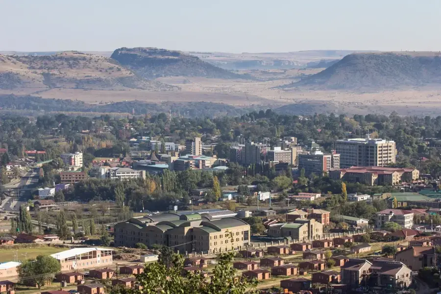
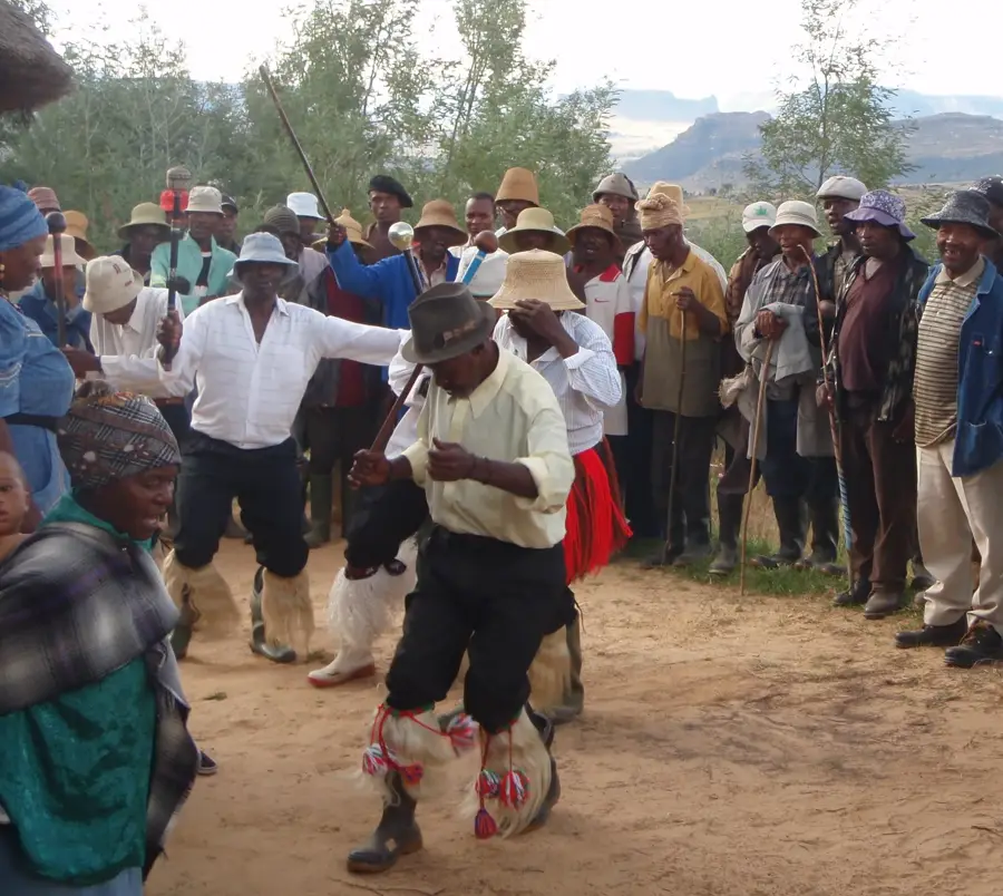
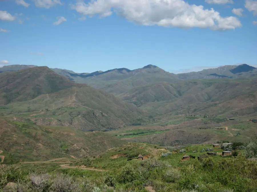
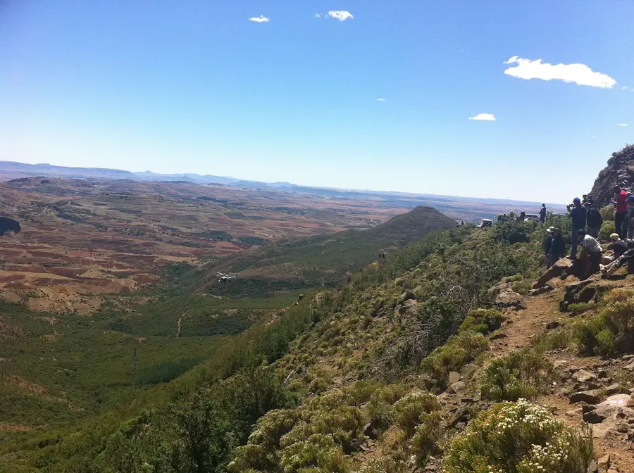
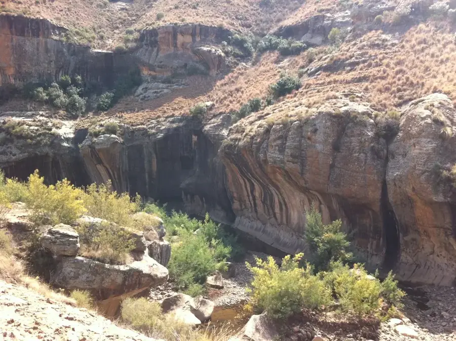
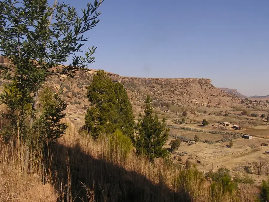
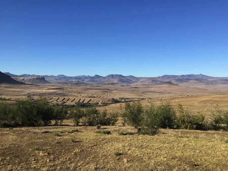
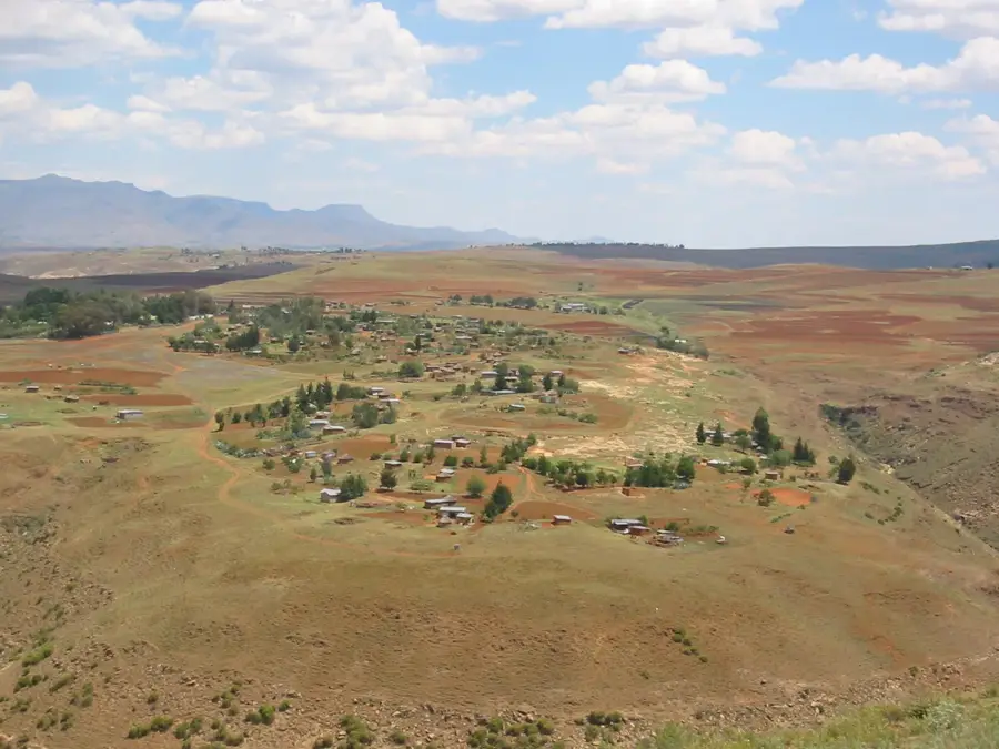
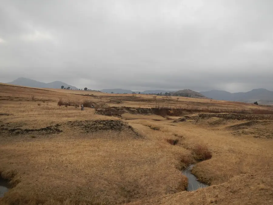
Ha Ntsi is a scenic village in the Maseru District, located at the foothills of the Maloti Mountains near the God Help Me Pass. The settlement is known for its strategic position along the route connecting the lowlands with the central highlands, offering wide-open views of the surrounding sandstone formations. Geographically, the region is defined by deep gorges and plateaus rich in prehistoric artifacts and San rock art sites. The inhabitants of Ha Ntsi traditionally rely on agriculture, with maize cultivation and the breeding of Basotho ponies playing a central role in daily life. The village has gained tourism significance in recent years, serving as a gateway to the deeper mountain ranges and a rest point for hikers. The village architecture preserves the traditional style with stone rondavels and thatched roofs. Ha Ntsi remains an excellent example of the resilience of village life in Lesotho despite the increasing modernization of transport links.
- Location: Lesotho
- Nearby: Molimo Nthuse (6 km)
Best time to visit & climate
The most pleasant time to visit is Jan, Feb, Dec.
| Jan | Feb | Mar | Apr | May | Jun | Jul | Aug | Sep | Oct | Nov | Dec | |
|---|---|---|---|---|---|---|---|---|---|---|---|---|
| Avg °C | 17 | 16 | 14 | 10 | 7 | 4 | 4 | 6 | 10 | 13 | 14 | 16 |
| Rain mm | 124 | 104 | 83 | 62 | 21 | 20 | 10 | 24 | 24 | 69 | 93 | 116 |
Geography
Facts
- Located in the Maseru District near God Help Me Pass
- Famed for the breeding of hardy Basotho ponies
- Surrounding area contains ancient San rock paintings
- Strategic stopping point along the Mountain Road (A3)
- Village architecture features traditional stone rondavels
- Elevation is approximately 2,100 meters above sea level
Explore nearby
Notable places around
Route planner — Car & Motorhome
Where do you start? We build the route here, with stops and country notes along the way.
© OpenStreetMap contributors · OpenRouteService
Sights in the town Ha Ntsi (1)
Frequently asked questions
Where is Ha Ntsi located?
What is a nearby attraction?
Can you buy traditional crafts there?
Is the place suitable for a day trip?
What is the landscape like?
Ha Ntsi: where is it located?
Ha Ntsi: when is the best time to visit?
Ha Ntsi: why is it worth visiting?

Nearby cities