Plizio Visual Lab
Likalaneng
ℹ️Practical info — Likalaneng
▾
🌤 Weather — 5 days
📍 Nearby
Sights nearby
💡 Tips
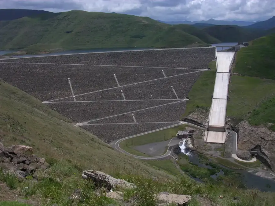
- As a key transit point to Katse Dam, the road can be busy with trucks; allow extra time for overtaking safely.
- There are beautiful mountain passes nearby; keep your camera ready but only pull over where there is a clear, safe shoulder.
- Fill up your fuel tank when you see an open station, as options become sparse further towards the dam.
- Public transport (minibus taxis) frequent this route, making it easier to travel without a car if you are patient.
🍽 Food
Grab some freshly grilled meat (braai) from roadside vendors catering to passing travelers.
Bread dough baked over an open fire, excellent for a quick snack on your way to Katse Dam.
🛍 Shopping · 🧘 Quiet spots
Stock up on travel snacks, bottled water, and basic supplies at the small roadside shacks.
You might spot vendors selling the iconic Basotho woven hats along the main transit routes.
Stop at a safe pull-over spot along the road to enjoy the sweeping views of the deep mountain valleys.
Walk just a few hundred meters away from the main road to find absolute mountain silence.
Water temperature…
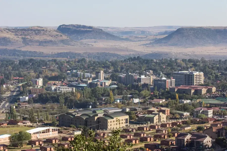
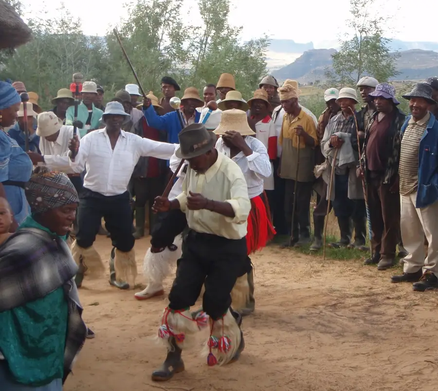
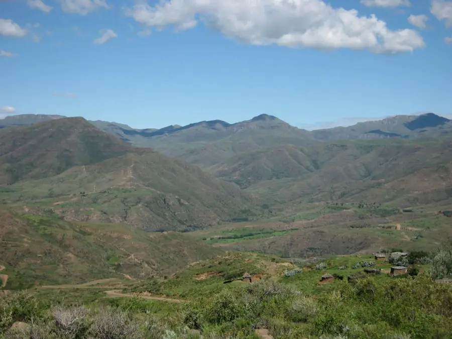
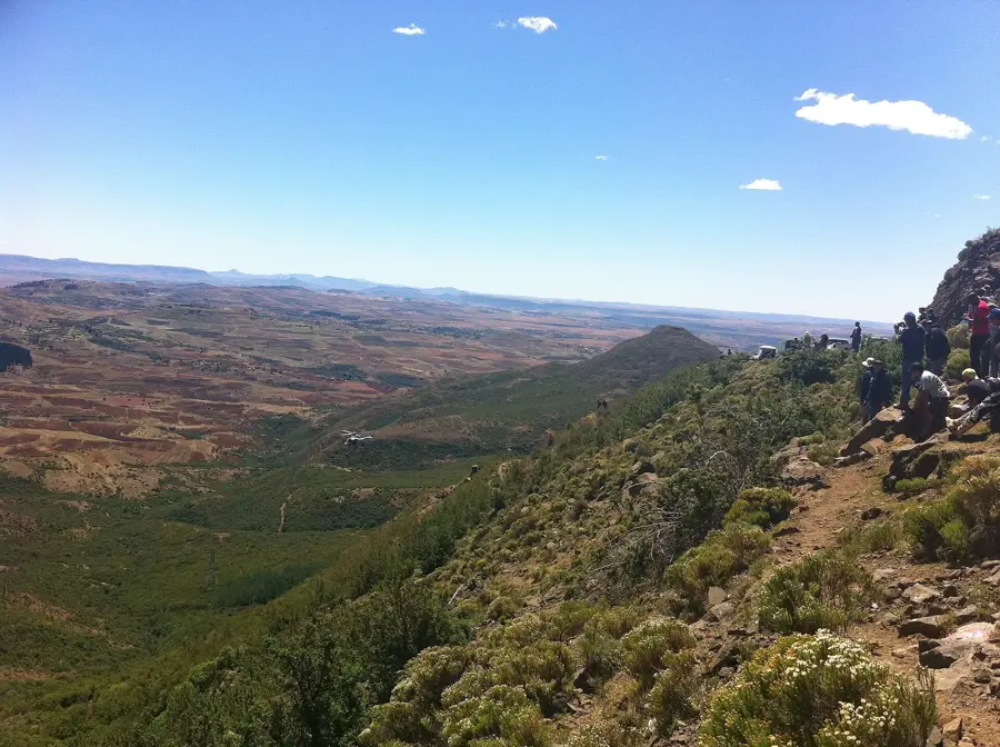
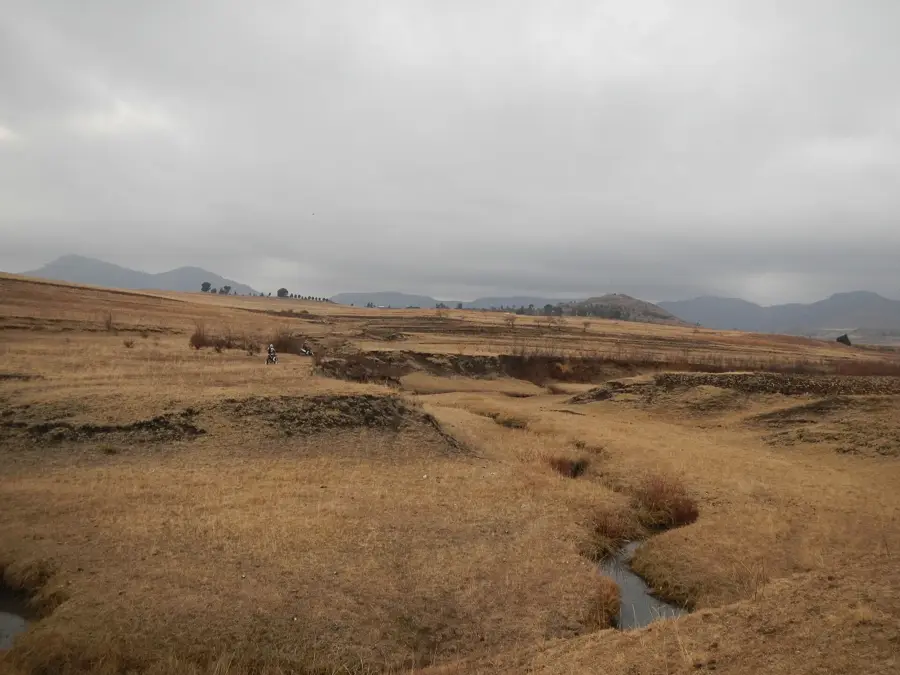
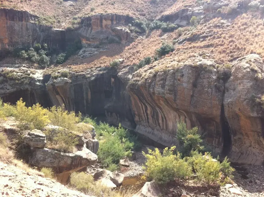
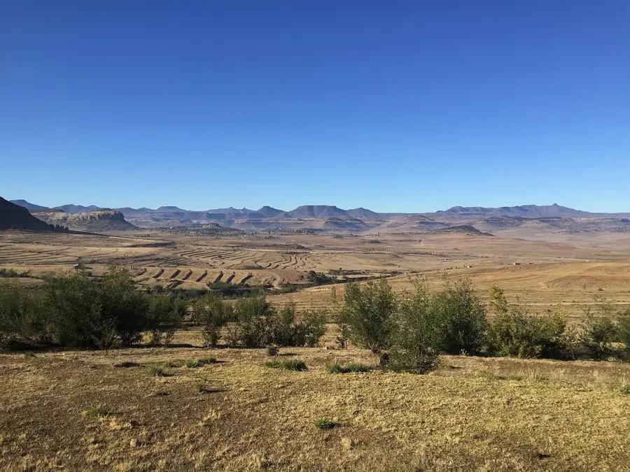
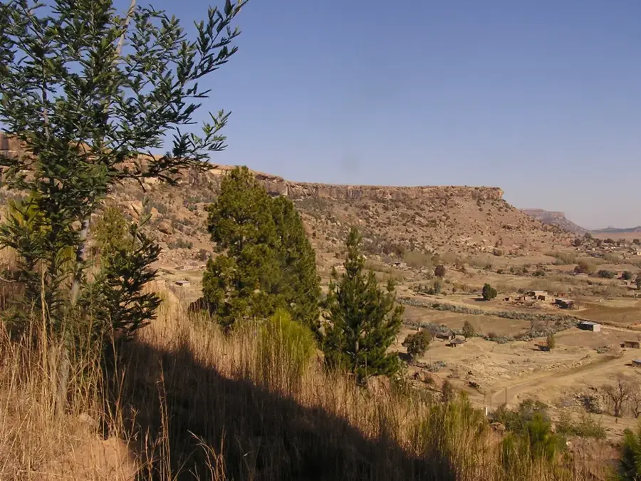
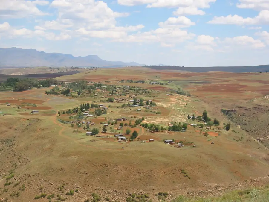
Likalaneng is a highland settlement in the Maseru District of Lesotho, situated within the rugged terrain of the Maloti Mountains. The village is notably positioned along the route to the Mohale Dam, which is a major component of the Lesotho Highlands Water Project initiated in the late 20th century. This geographical location has made Likalaneng an important junction for infrastructure development and environmental management in the central highlands. The area is characterized by high-altitude grasslands and basaltic slopes, providing grazing land for the livestock that are central to the Basotho economy. Historically, Likalaneng was a remote mountain outpost, but the construction of the modern road network has integrated it more closely with the capital. The community remains deeply rooted in traditional customs, with social life revolving around seasonal farming cycles and cattle herding. The elevation of over 2,200 meters ensures a climate with significant temperature variations between day and night.
- Location: Lesotho
- Nearby: Molimo Nthuse (9 km)
Best time to visit & climate
The most pleasant time to visit is Jan, Feb, Dec.
| Jan | Feb | Mar | Apr | May | Jun | Jul | Aug | Sep | Oct | Nov | Dec | |
|---|---|---|---|---|---|---|---|---|---|---|---|---|
| Avg °C | 17 | 16 | 14 | 10 | 7 | 4 | 4 | 6 | 10 | 13 | 14 | 16 |
| Rain mm | 124 | 104 | 83 | 62 | 21 | 20 | 10 | 24 | 24 | 69 | 93 | 116 |
Geography
Facts
- Elevation exceeds 2200 meters above sea level.
- Located on the primary route to Mohale Dam.
- Administratively part of the Maseru District.
- Vital center for highland livestock grazing.
- Linked to the Highlands Water Project.
- Defined by rugged basaltic mountain geography.
Explore nearby
Notable places around
Route planner — Car & Motorhome
Where do you start? We build the route here, with stops and country notes along the way.
© OpenStreetMap contributors · OpenRouteService
Frequently asked questions
What is Likalaneng?
How high is the pass?
Are there tourist services there?
What is the road condition?
What can you see from there?
Likalaneng: where is it located?
Likalaneng: when is the best time to visit?
Likalaneng: why is it worth visiting?

Nearby cities