Plizio Visual Lab
Semonkong
ℹ️Practical info — Semonkong
▾
🌤 Weather — 5 days
📍 Nearby
Sights nearby
💡 Tips
- Bring warm clothes, even in summer, as mountain nights get very cold.
- Visit the Maletsunyane Falls early in the morning for the best light and to avoid afternoon clouds.
- Hiring a Basotho pony is the most authentic and practical way to navigate the rugged trails.
- Cash is essential; bring enough Lesotho Loti or South African Rand, as ATMs are scarce.
🍽 Food
A staple of maize meal and leafy greens, usually served at local guesthouses.
Grilled meats are popular and can be found at small eateries in the town center.
The local premium lager is the excellent refreshment after a hike.
🛍 Shopping · 🧘 Quiet spots
Look for authentic traditional blankets in the local trading posts.
Woven straw hats available from artisans near the main tourist paths.
Sit quietly on the edge of the gorge to appreciate the vastness of the valley.
Peaceful grassy areas along the river, first-rate for relaxing away from the village center.
Water temperature…
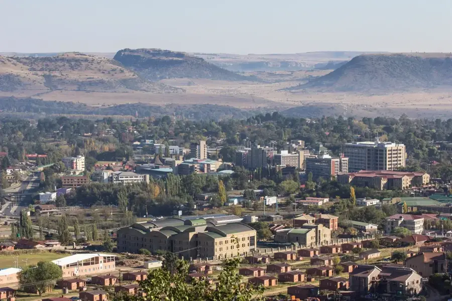
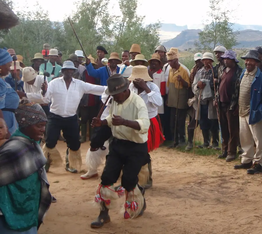
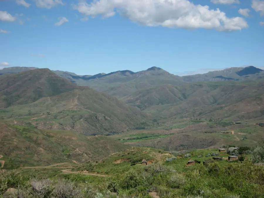
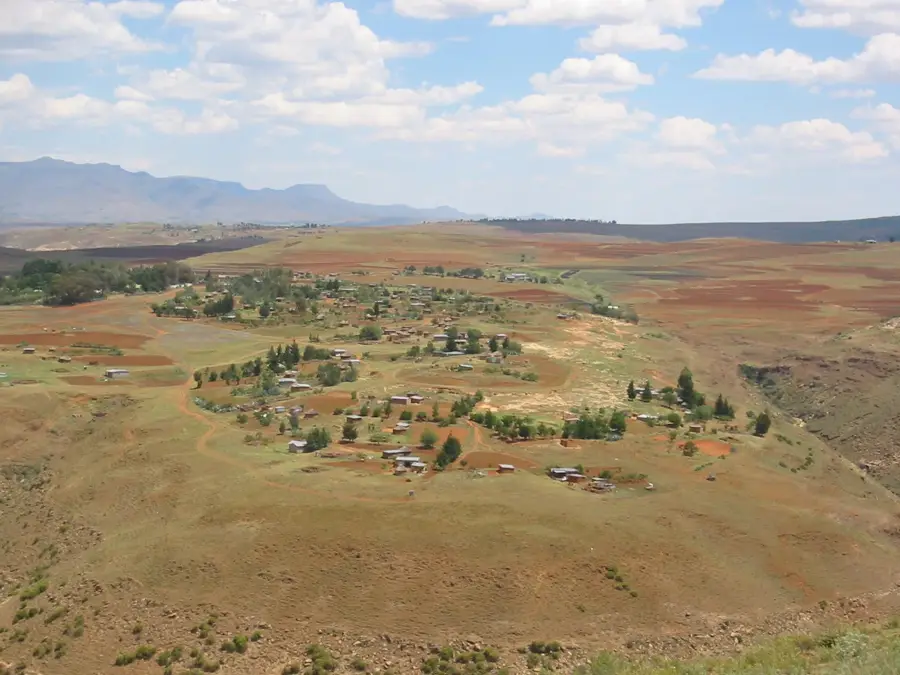
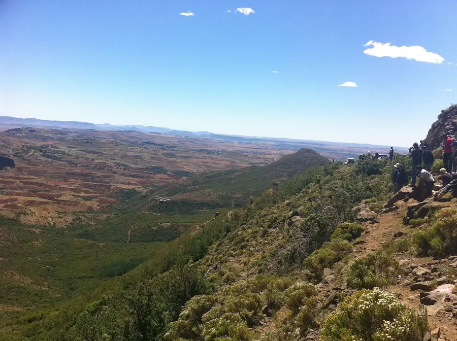
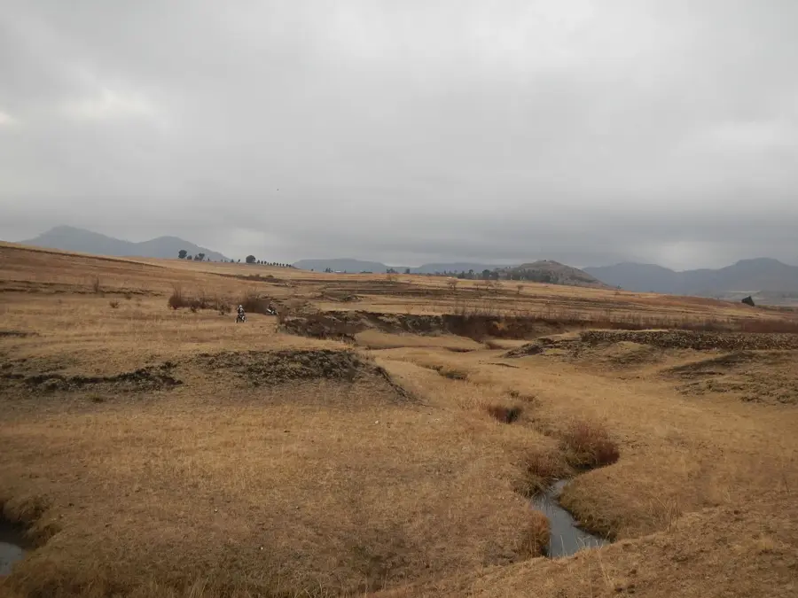
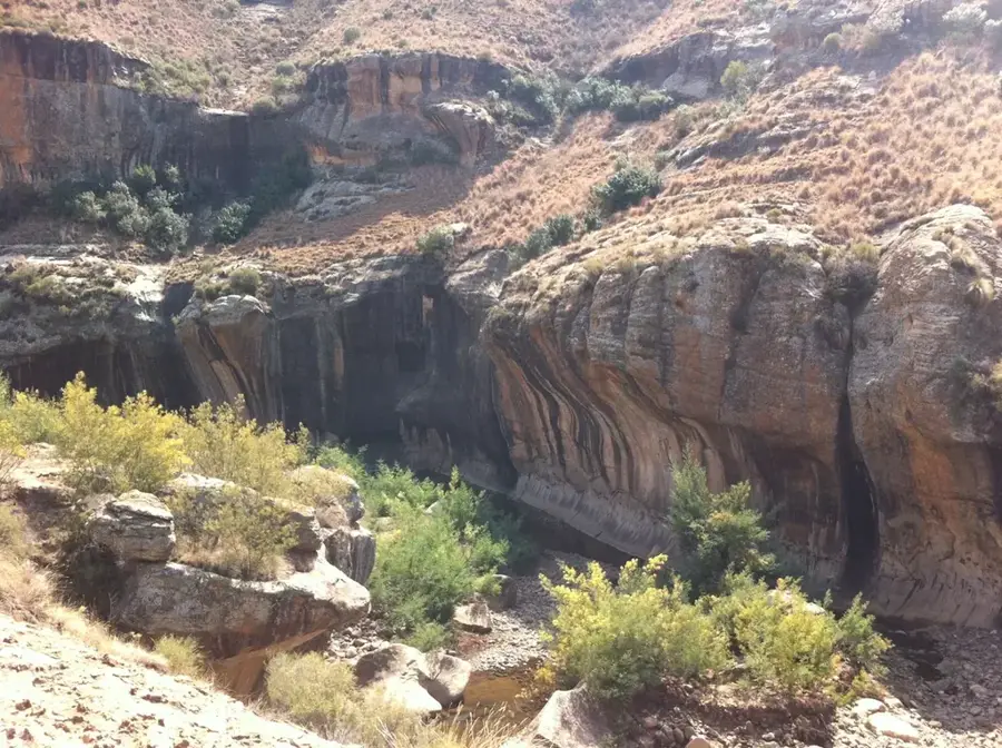
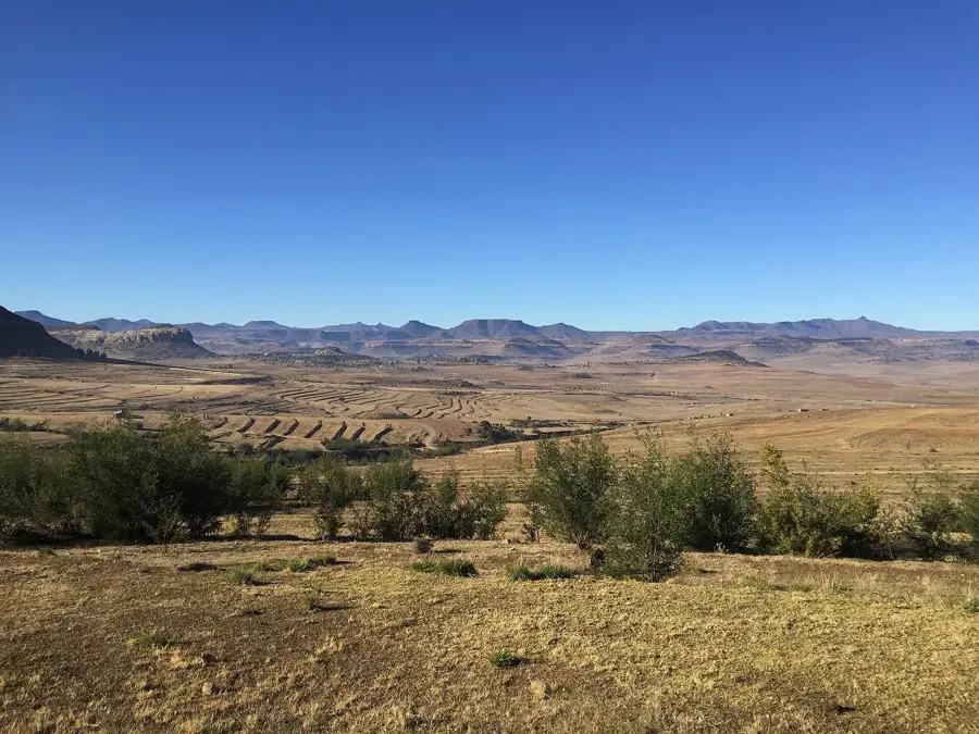
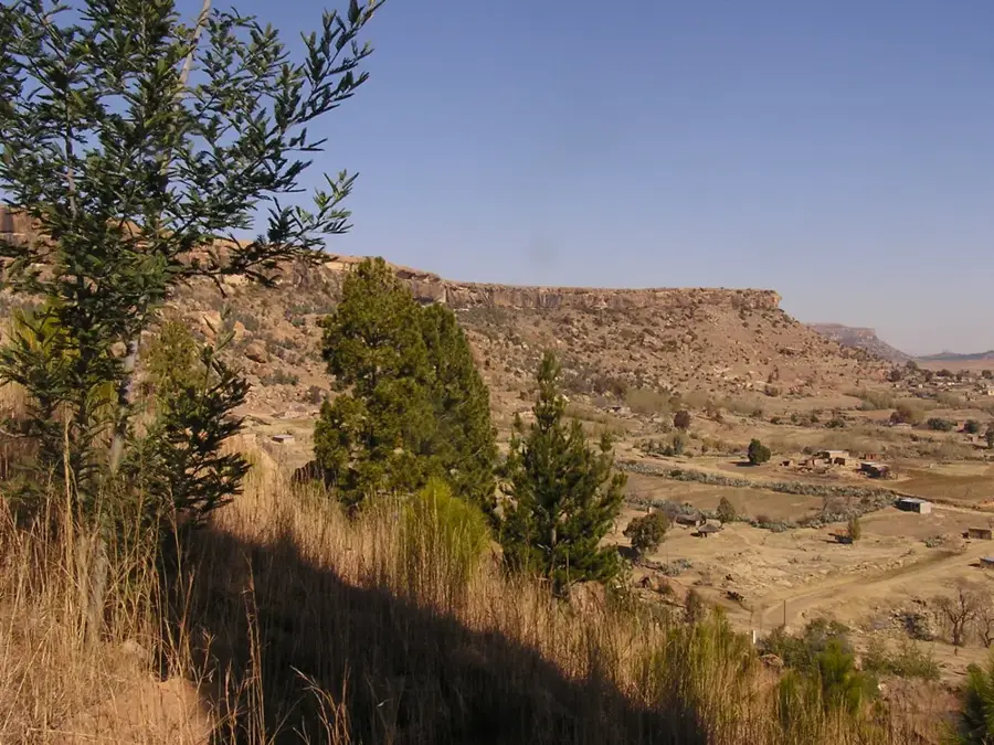
Semonkong is located deep within the Maloti Mountains at an elevation of approximately 2275 meters, widely renowned as the "Place of Smoke." This name refers to the thundering Maletsunyane Falls, which plunges 192 meters into a spectacular gorge nearby, creating a permanent mist cloud. The settlement was established in the 1880s as a sanctuary for refugees from the frontier wars and has since evolved into one of Lesotho's premier tourist destinations. Geographically, Semonkong is encircled by rugged peaks and alpine meadows, traditionally accessible only via challenging mountain passes or light aircraft. The local economy thrives on adventure tourism, including pony trekking, hiking, and the world-famous abseil descent alongside the waterfall. Despite its popularity among travelers, the town retains an authentic atmosphere characterized by the traditional Basotho blanket culture and a reliance on Basotho ponies as the primary mode of transport.
- Location: Lesotho
- Nearby: Ramabanta (31 km)
- Population: ~8.636 (2023)
Best time to visit & climate
The most pleasant time to visit is Jan, Feb, Dec.
| Jan | Feb | Mar | Apr | May | Jun | Jul | Aug | Sep | Oct | Nov | Dec | |
|---|---|---|---|---|---|---|---|---|---|---|---|---|
| Avg °C | 17 | 17 | 15 | 11 | 7 | 4 | 4 | 6 | 11 | 14 | 15 | 17 |
| Rain mm | 121 | 102 | 81 | 55 | 19 | 17 | 13 | 25 | 23 | 67 | 86 | 106 |
Geography
Facts
- Home of Maletsunyane Falls
- Elevation of 2275 meters
- Founded in the 1880s
- Name means Place of Smoke
- Pony trekking headquarters
- World-record abseil site
Explore nearby
Notable places around
Route planner — Car & Motorhome
Where do you start? We build the route here, with stops and country notes along the way.
© OpenStreetMap contributors · OpenRouteService
Frequently asked questions
What is the main attraction of Semonkong?
Can you go abseiling there?
How is the journey to Semonkong?
What does the name Semonkong mean?
Can you go pony trekking in Semonkong?
Semonkong: where is it located?
Semonkong: when is the best time to visit?
Semonkong: why is it worth visiting?

Nearby cities