Plizio Visual Lab
Sekake
ℹ️Practical info — Sekake
▾
🌤 Weather — 5 days
📍 Nearby
Sights nearby
💡 Tips
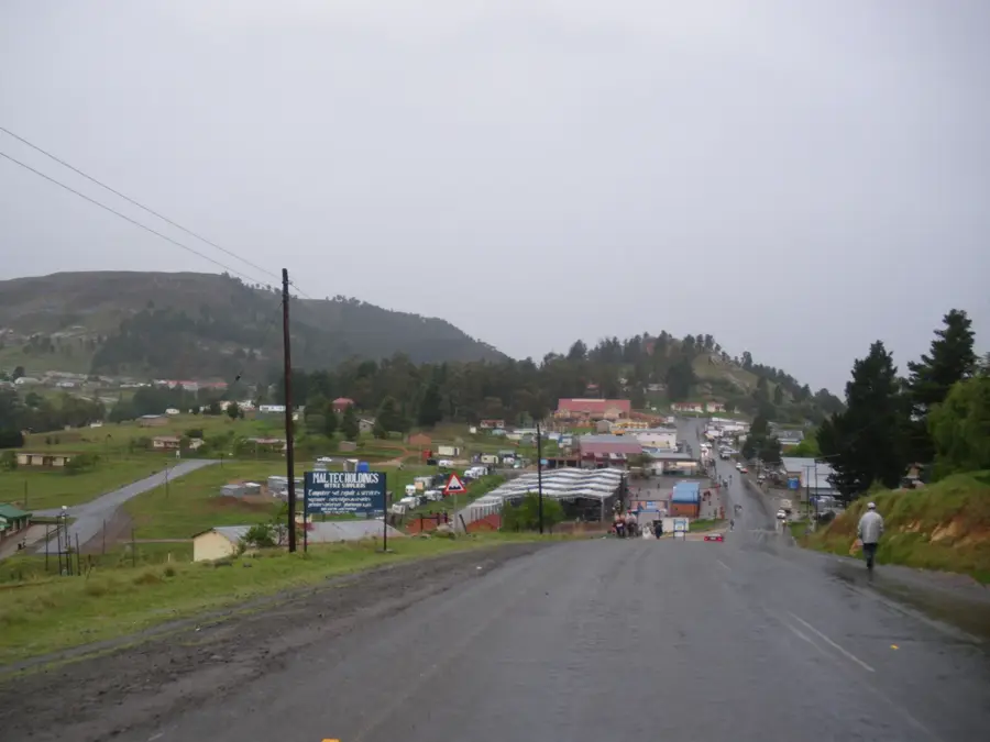
- As a major junction in Qacha's Nek district, use Sekake to restock on essential supplies and fuel if available.
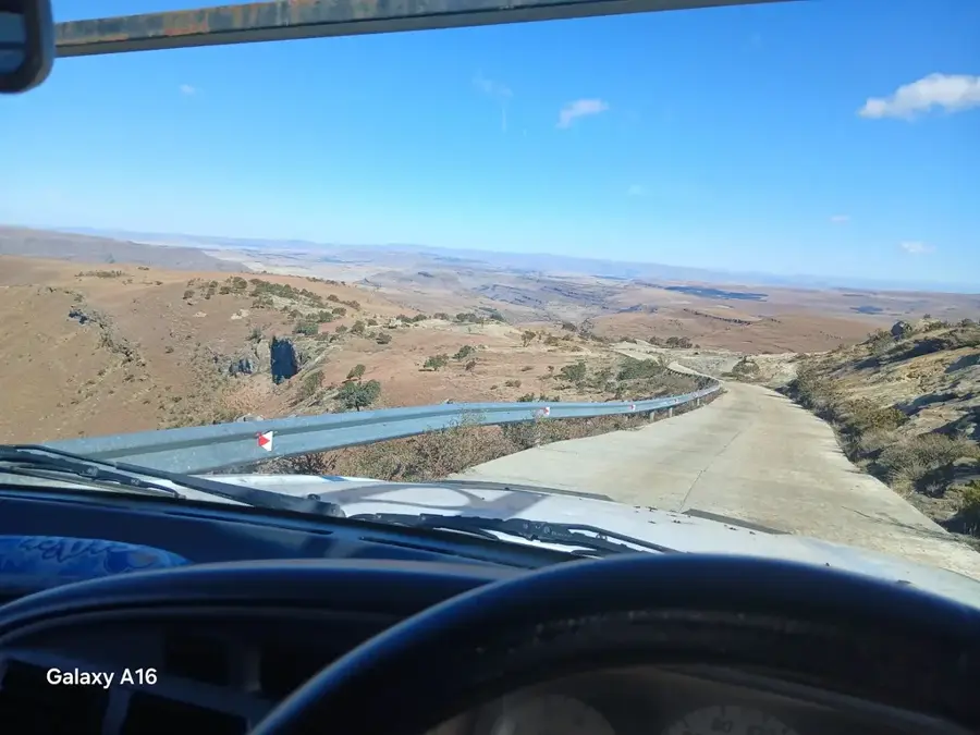
- Road conditions branching off from the main highway can be challenging after heavy rains.
- Engage with local store owners for the most up-to-date conditions on the mountain trails.
- The village is relaxed, but always ask before photographing people in traditional Basotho blankets.
🍽 Food
Find a simple roadside eatery at the junction for a filling, traditional meal.
A first-rate early morning warm-up available from vendors as the transport hub gets busy.
Look for women roasting fresh corn cobs on small charcoal fires near the taxi stop.
🛍 Shopping · 🧘 Quiet spots
The junction stores are your best bet for stocking up on water, snacks, and basic necessities.
Local women sometimes sell warm hats or scarves near the trading post.
Walk just a few minutes from the busy junction to find peaceful rolling landscapes.
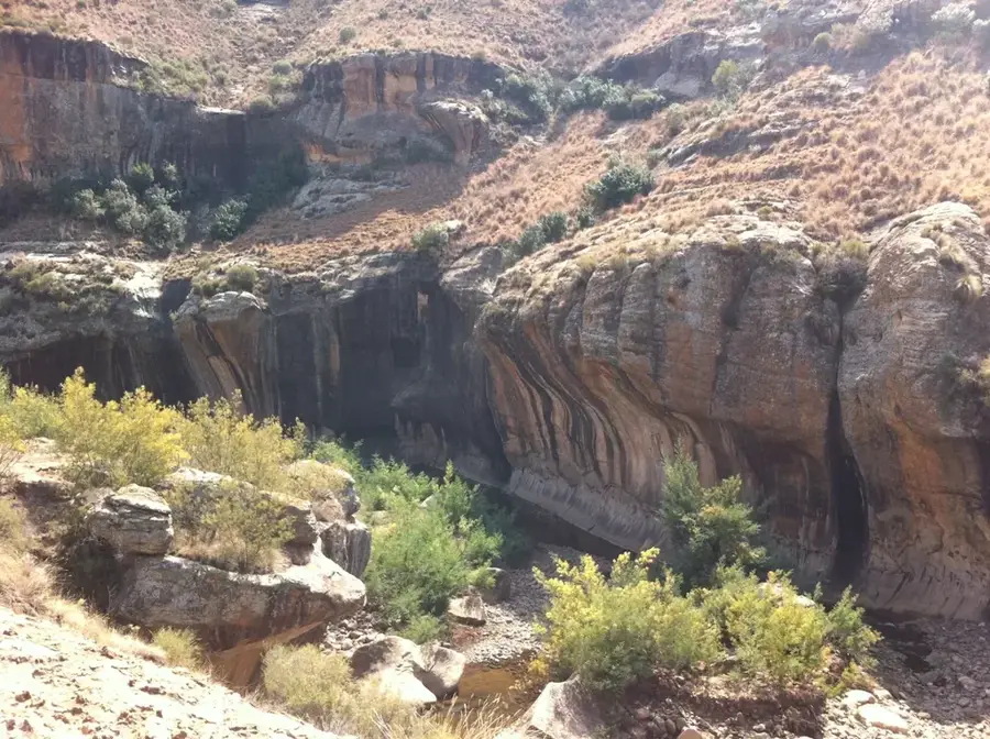
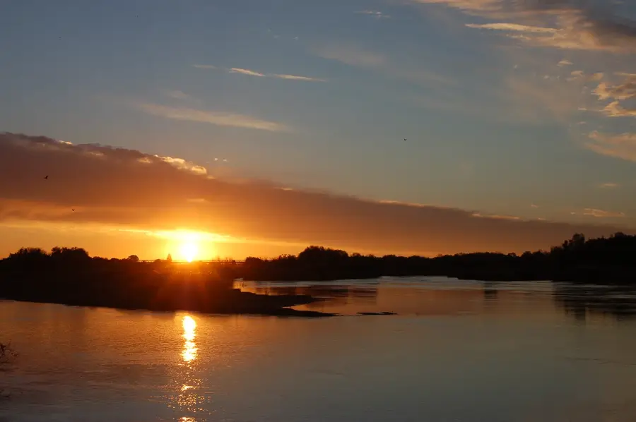
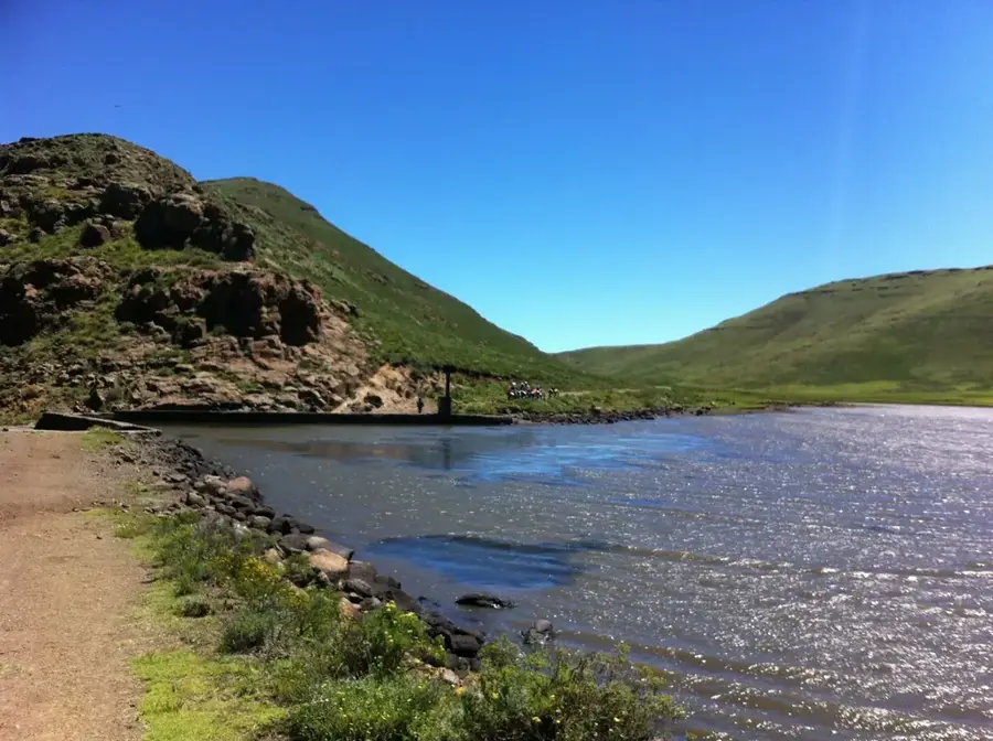
Ask locals for the best short walk to a viewpoint overlooking the magnificent river valley below.
Water temperature…
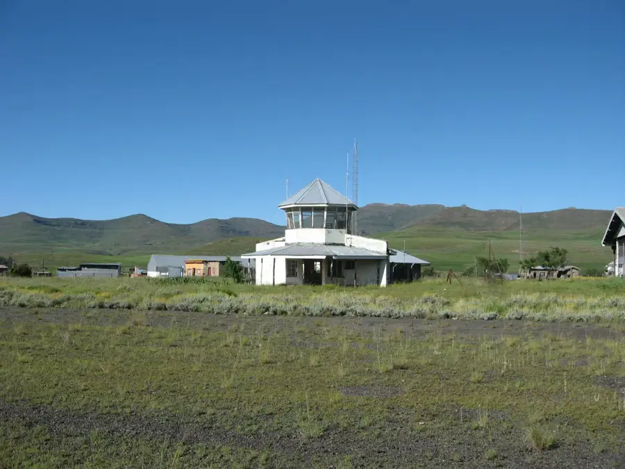
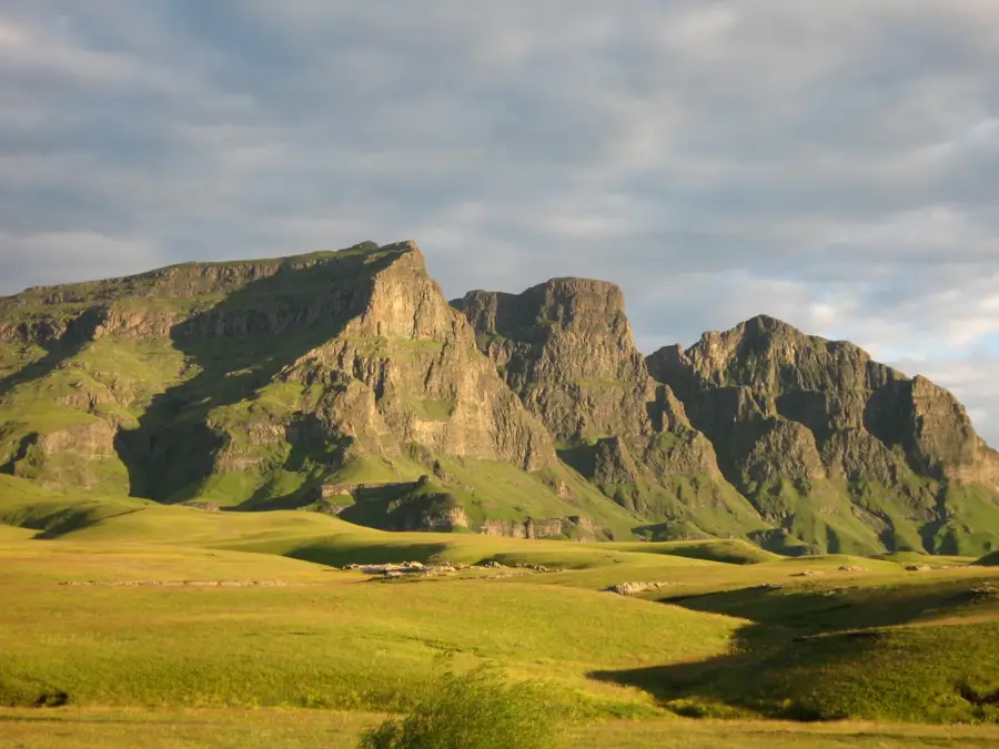
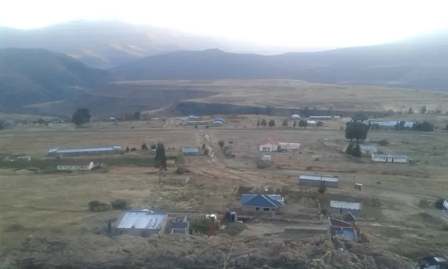
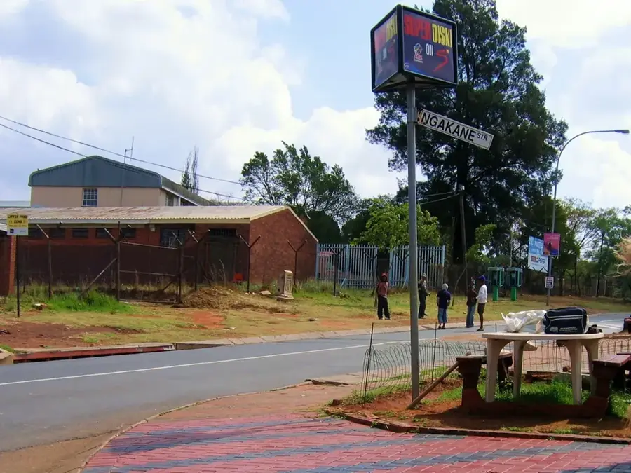
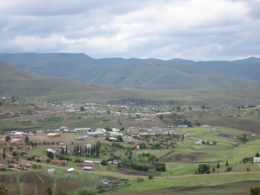
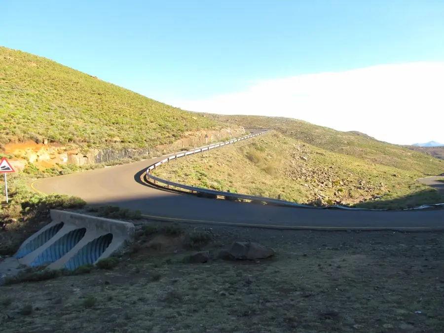
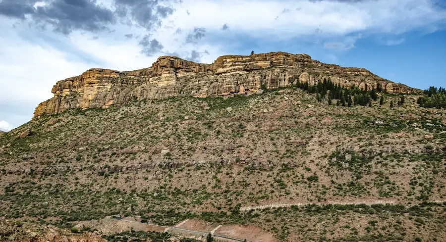
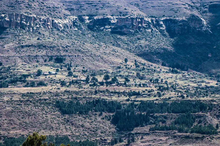
Sekake is a strategically located settlement in the Qacha’s Nek District of southeastern Lesotho, near the border with South Africa. The village acts as a vital gateway between the central highlands and the district capital, Qacha’s Nek. Geographically, Sekake is situated in a mountainous region defined by deep gorges and steep slopes, which historically made the area difficult to access. The local economy is based on a combination of trade and livestock farming, with the settlement serving as a collection point for agricultural goods from more remote valleys. Infrastructure has improved with the upgrading of the A11 road, making Sekake an important stopover for travelers and traders. The community preserves its cultural traditions, such as the typical Basotho songs and dances, which play a central role in social gatherings.
- Location: Lesotho
- Nearby: Tebellong Station (9 km)
- Population: ~2.443 (2023)
Best time to visit & climate
The most pleasant time to visit is Oct–Dec.
| Jan | Feb | Mar | Apr | May | Jun | Jul | Aug | Sep | Oct | Nov | Dec | |
|---|---|---|---|---|---|---|---|---|---|---|---|---|
| Avg °C | 17 | 16 | 15 | 11 | 8 | 5 | 5 | 7 | 11 | 14 | 15 | 17 |
| Rain mm | 149 | 126 | 88 | 49 | 15 | 10 | 13 | 21 | 26 | 64 | 88 | 117 |
Geography
Facts
- Located in the Qacha’s Nek District at an elevation of about 1850 meters.
- A strategic junction along the A11 connecting road.
- Serves as a supply hub for remote mountain settlements.
- The region is known for its rugged and pristine natural landscape.
- Livestock farming is the primary livelihood for the residents.
- Features a small airstrip used for essential supply flights.
Explore nearby
Notable places around
Route planner — Car & Motorhome
Where do you start? We build the route here, with stops and country notes along the way.
© OpenStreetMap contributors · OpenRouteService
Frequently asked questions
Is Sekake accessible for tourists?
What is the main attraction in Sekake?
Are there medical facilities there?
Can you go pony trekking in Sekake?
What is the climate like in winter?
Sekake: where is it located?
Sekake: when is the best time to visit?
Sekake: why is it worth visiting?

Nearby cities
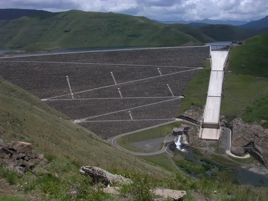
History & landmarks
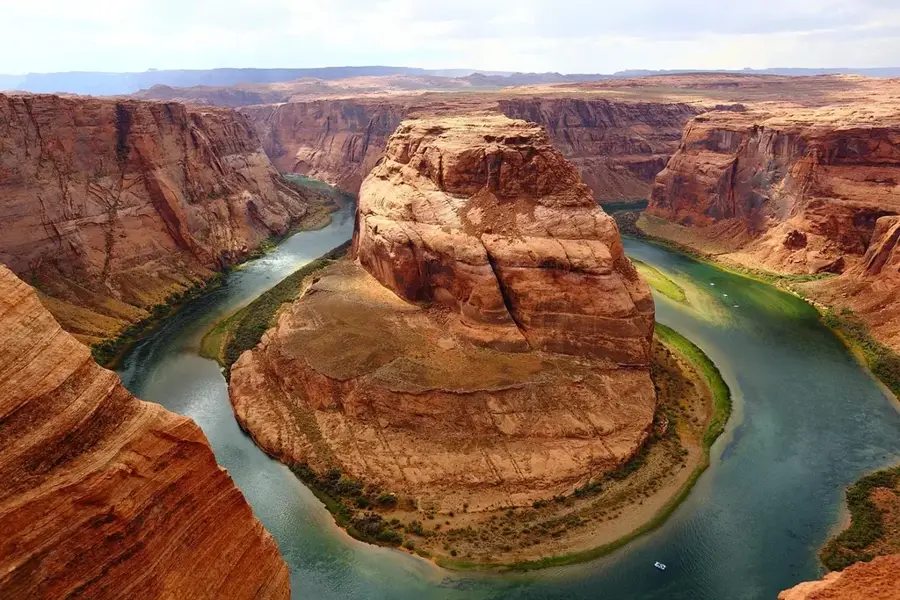
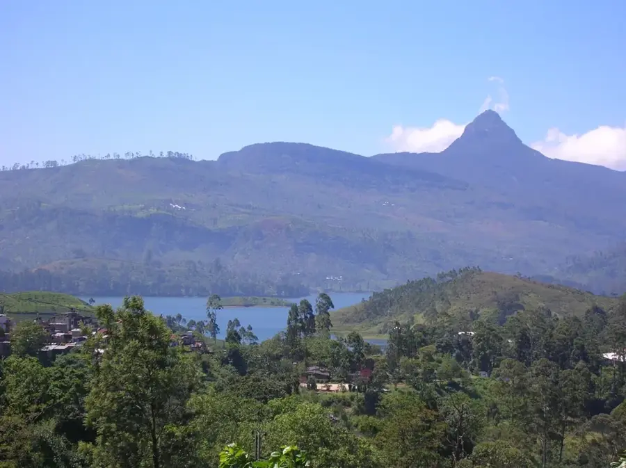
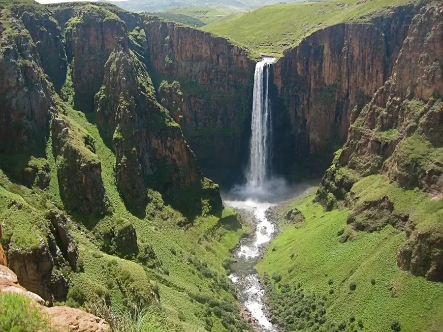
Nature

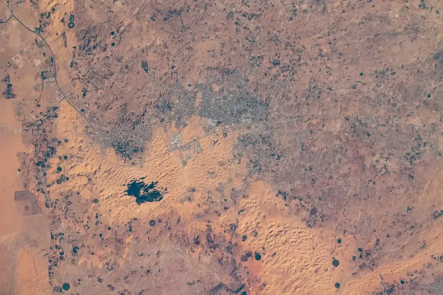
More places