Plizio Visual Lab
Ha Mpiti
ℹ️Practical info — Ha Mpiti
▾
🌤 Weather — 5 days
📍 Nearby
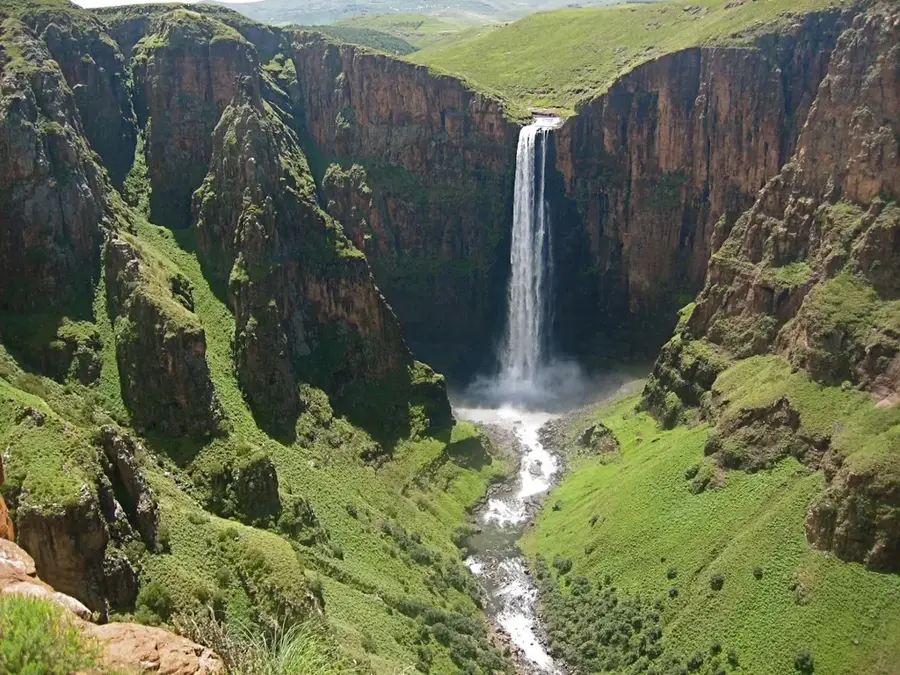
Sights nearby
💡 Tips
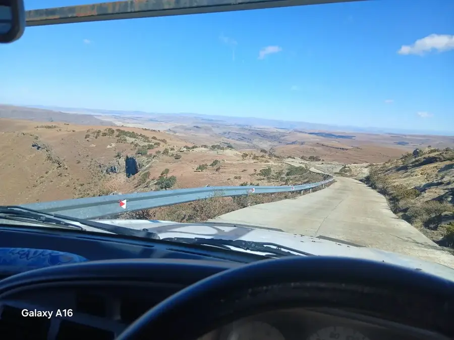
- 4x4 vehicles are highly recommended for navigating the rough roads in the Qacha's Nek district.
- Prepare for high altitudes; acclimatize slowly to avoid altitude sickness.
- Ask permission before photographing locals or their traditional homes.
- Connectivity might be spotty; it's best to download offline maps beforehand.
🍽 Food
Grab these sweet, deep-fried dough balls from street vendors in the early morning.
A hearty meal commonly served at small local guesthouses.
Ask for local farm produce, which is often organically grown in the village.
🛍 Shopping · 🧘 Quiet spots
Lesotho is famous for these; look for items made by local weavers.
The best place to buy everyday essentials and meet locals.
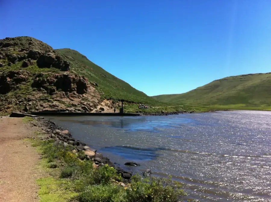
Walk down to the nearby valleys for a tranquil escape and fresh air.
Stop along the road for sweeping, peaceful views of the district.
Water temperature…
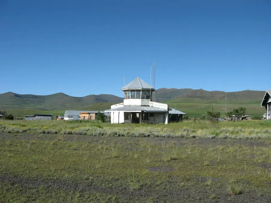
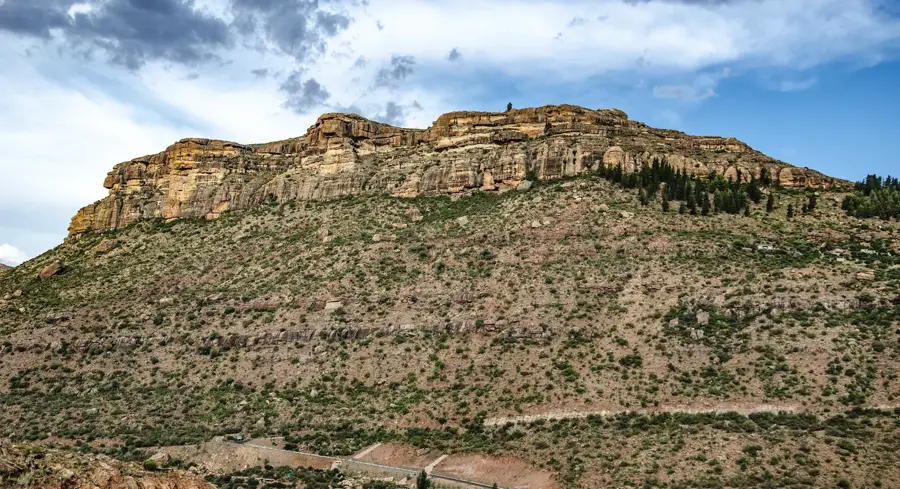
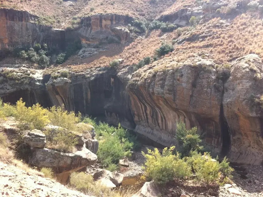
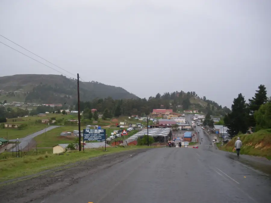
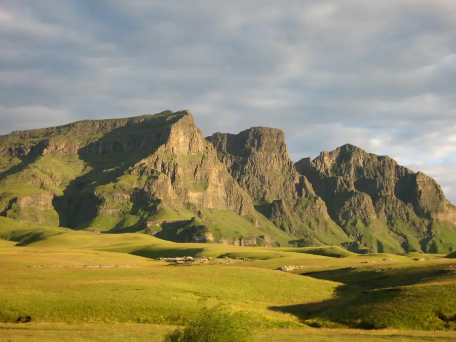
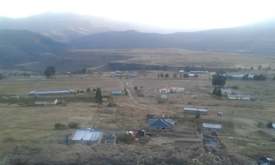
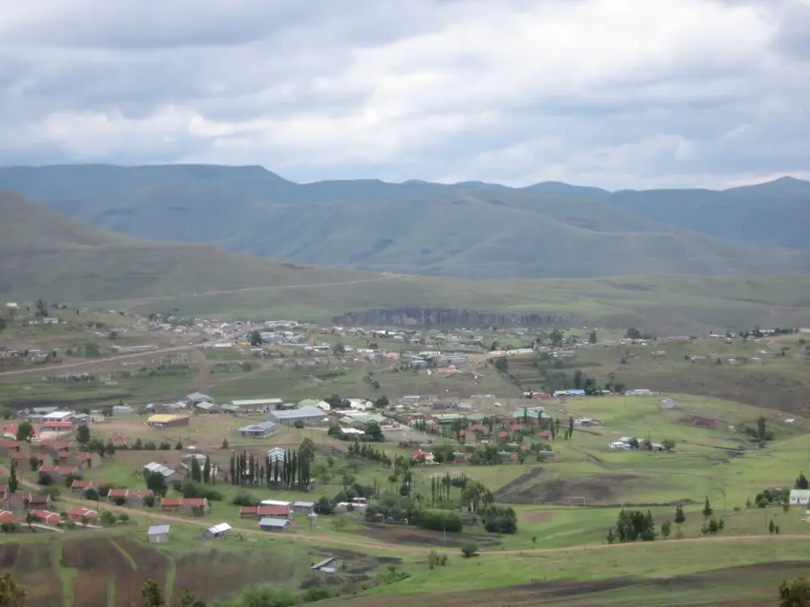
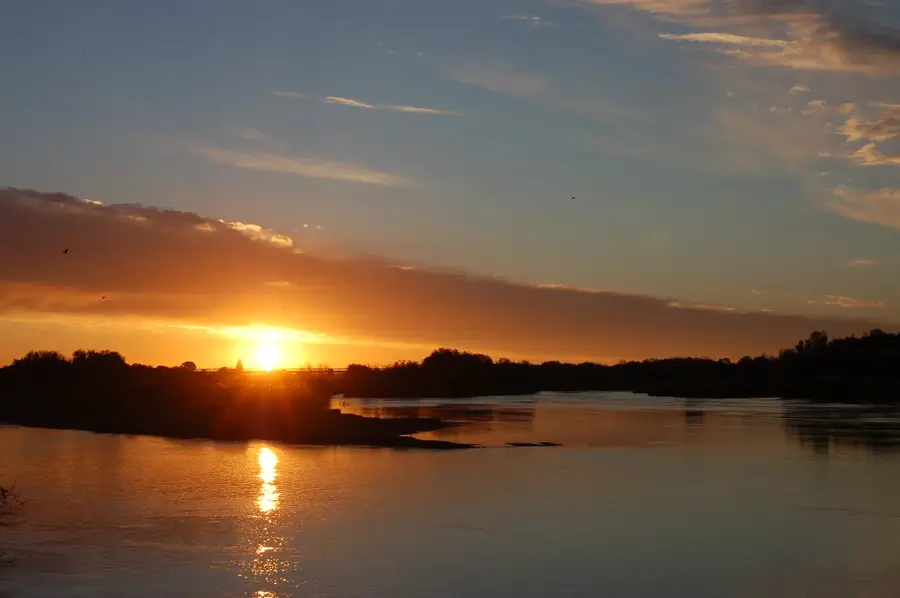
Ha Mpiti is a strategic village and road junction in the Qacha's Nek District of southeastern Lesotho. It is situated at the intersection of major routes leading to the capital, the town of Qacha's Nek, and the remote Sehlabathebe National Park. The settlement is located in a high-altitude area, approximately 1,900 meters above sea level, surrounded by the rugged volcanic peaks of the Maloti range. Historically, Ha Mpiti served as an essential stop for travelers and traders navigating the challenging mountain passes of the southeast. The climate in this region is temperate, with frequent summer thunderstorms and occasional winter snowfalls. Agriculture is the mainstay of the local economy, with farmers utilizing the valleys for maize cultivation and the higher slopes for grazing sheep and goats. The village represents the transition between the river valleys of the Senqu system and the high alpine plateaus of the interior, playing a key role in regional logistics and social connectivity.
- Location: Lesotho
- Nearby: Qacha's Nek (9 km)
Best time to visit & climate
The most pleasant time to visit is Oct–Dec.
| Jan | Feb | Mar | Apr | May | Jun | Jul | Aug | Sep | Oct | Nov | Dec | |
|---|---|---|---|---|---|---|---|---|---|---|---|---|
| Avg °C | 17 | 16 | 15 | 11 | 8 | 5 | 5 | 7 | 11 | 14 | 15 | 17 |
| Rain mm | 149 | 126 | 88 | 49 | 15 | 10 | 13 | 21 | 26 | 64 | 88 | 117 |
Geography
Facts
- Key road junction for the A4 highway.
- Elevation is 1900 meters above sea level.
- Part of the Qacha's Nek District.
- Primary access point for Sehlabathebe Park.
- Historically strategic for southeast trade.
- Surrounded by volcanic mountain landscapes.
Explore nearby
Notable places around
Route planner — Car & Motorhome
Where do you start? We build the route here, with stops and country notes along the way.
© OpenStreetMap contributors · OpenRouteService
Frequently asked questions
What role does Ha Mpiti play for travelers?
How is the road condition around Ha Mpiti?
Are there shopping facilities in Ha Mpiti?
Can you refuel in Ha Mpiti?
What activities are possible in Ha Mpiti?
Ha Mpiti: where is it located?
Ha Mpiti: when is the best time to visit?
Ha Mpiti: why is it worth visiting?

Nearby cities

History & landmarks
Nature


More places