Plizio Visual Lab
Mount Moorosi

ℹ️Practical info — Mount Moorosi
▾
🌤 Weather — 5 days
📍 Nearby
Sights nearby
💡 Tips
- The hike up to Moorosi's Mountain is very steep; wear shoes with excellent grip and carry plenty of water.
- Read up on Chief Moorosi and the Basotho Gun War before visiting to appreciate the site's history.
- Public transport along the A4 is steady but infrequent, so plan your return trip early.
- There are few tourist facilities, so bring your own snacks and sun protection.
🍽 Food
Stop at a small eatery near the main road junction for a warming bowl of meat stew and papa.
Buy freshly fried fat cakes from village vendors at the base of the mountain.
Often available at local braai stands, especially on weekends.
🛍 Shopping · 🧘 Quiet spots
Look for intricately carved traditional sticks sold by local artisans near the mountain base.
Traditional Basotho hats (mokorotlo) are sometimes woven and sold by locals in the village.
Once you complete the tough climb, enjoy the profound silence and historic atmosphere at the top.
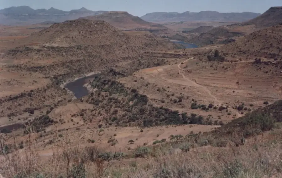
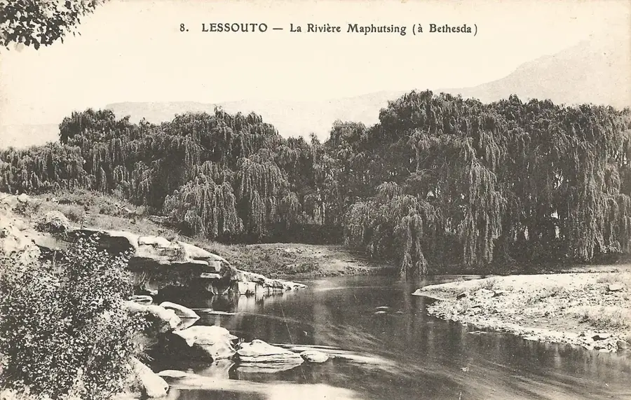
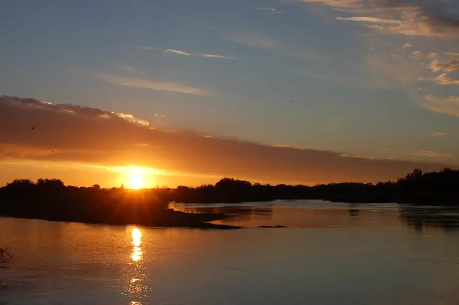
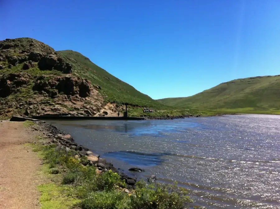
Take a short drive or walk to the banks of the Orange (Senqu) River for a peaceful waterside rest.
Water temperature…
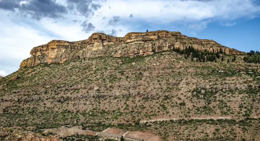
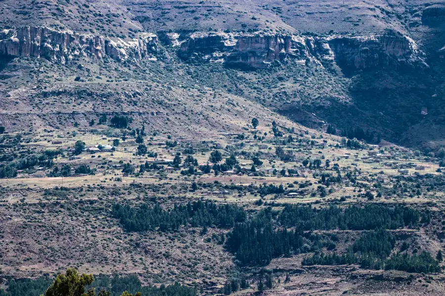
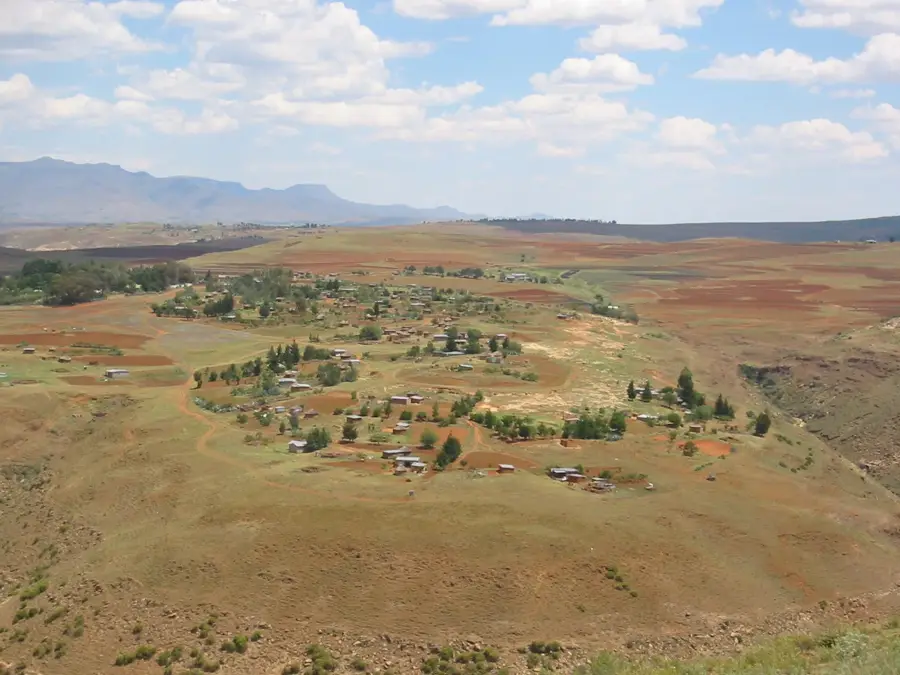
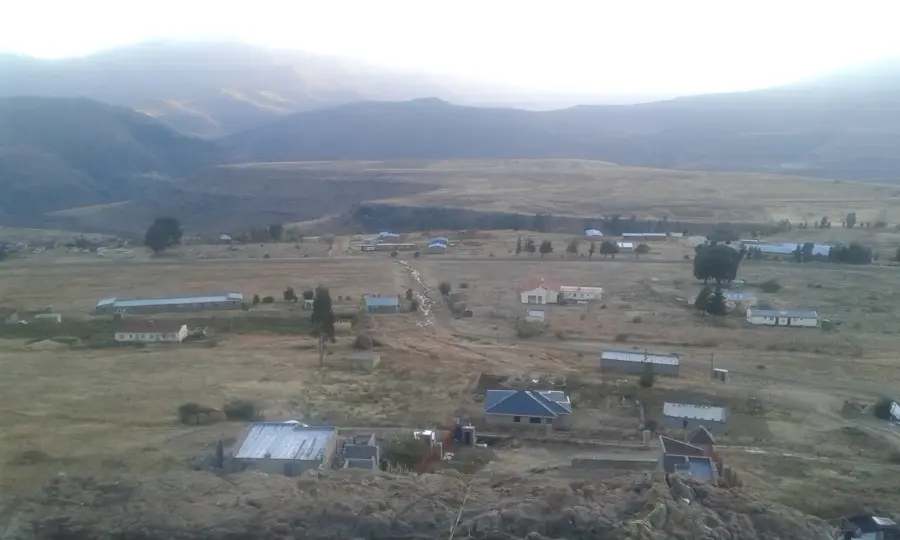
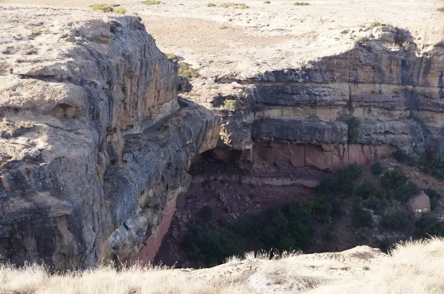
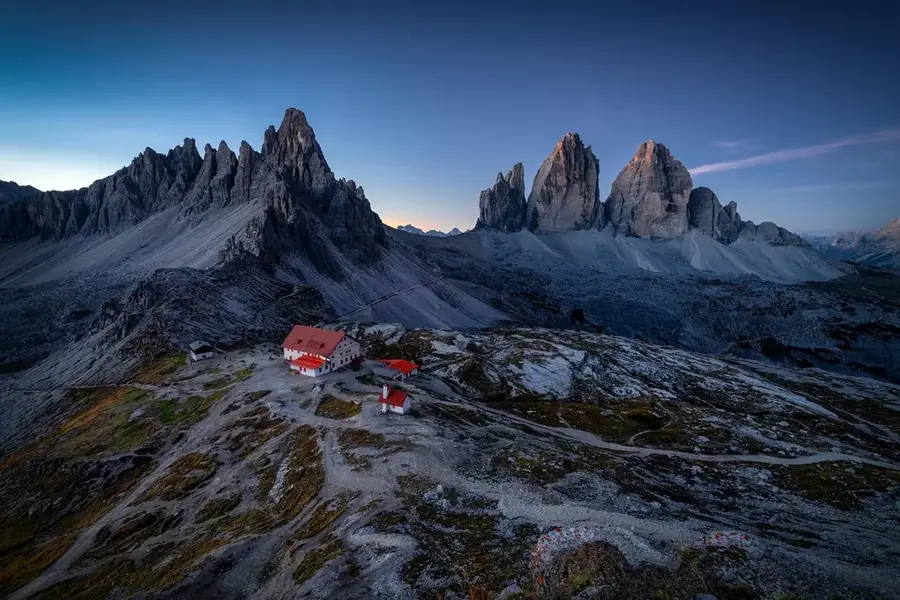
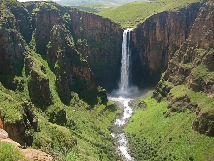
Mount Moorosi is a history-rich settlement in the Quthing District of southern Lesotho, named after the legendary Baphuthi chief, Moorosi. The village lies at the base of a prominent flat-topped mountain which was the site of a months-long siege by British forces in 1879 during the so-called Moorosi War. This historical episode is regarded as a symbol of resistance against colonial power and is deeply embedded in Lesotho's national consciousness. Today's settlement serves as an important commercial hub for the surrounding rural areas and is strategically located along the main road to Qacha’s Nek. The landscape is characterized by rugged rock formations and its proximity to the Senqu River, ensuring spectacular vistas. Economically, the trade of livestock and textiles dominates, while tourism is gradually gaining importance due to the historical battlefields.
- Location: Lesotho
- Nearby: Quthing (19 km)
- Population: ~6.992 (2023)
Best time to visit & climate
The most pleasant time to visit is Jan, Feb, Dec.
| Jan | Feb | Mar | Apr | May | Jun | Jul | Aug | Sep | Oct | Nov | Dec | |
|---|---|---|---|---|---|---|---|---|---|---|---|---|
| Avg °C | 18 | 17 | 15 | 11 | 8 | 5 | 4 | 7 | 11 | 14 | 15 | 17 |
| Rain mm | 125 | 107 | 88 | 54 | 18 | 17 | 18 | 29 | 29 | 73 | 90 | 109 |
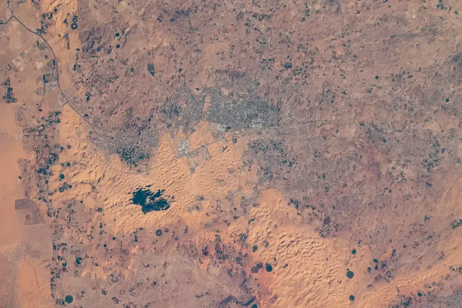
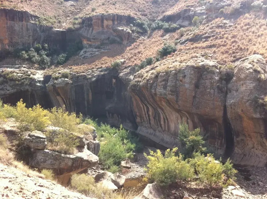
Geography
Facts
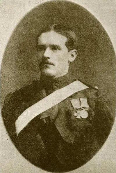
- Named after Chief Moorosi, who lived during the 19th century.
- Site of a famous siege by the Cape Mounted Rifles in 1879.
- Located on a strategic transport route in the Quthing District.
- The flat-topped Mount Moorosi stands at about 2000 meters high.
- Nearby caves contain ancient San (Bushmen) rock paintings.
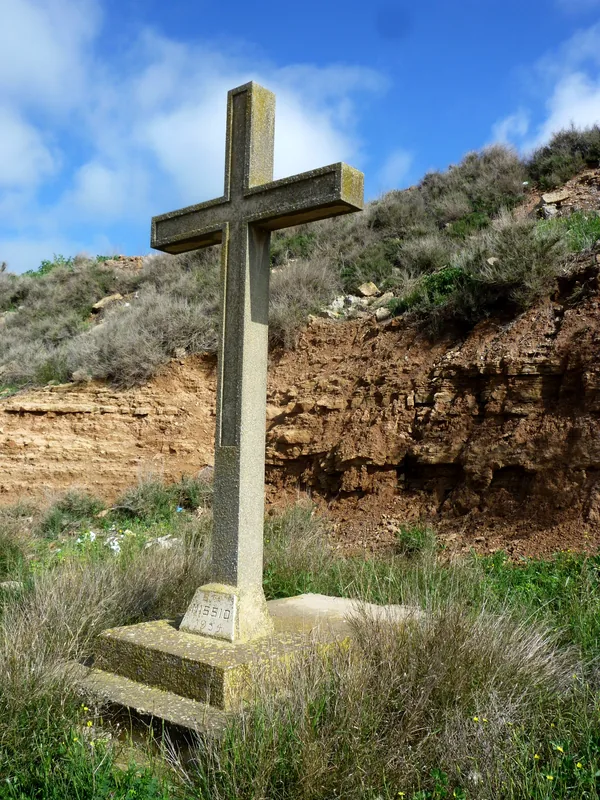
- A local monument commemorates the Baphuthi resistance.
Explore nearby
Notable places around
Route planner — Car & Motorhome
Where do you start? We build the route here, with stops and country notes along the way.
© OpenStreetMap contributors · OpenRouteService
Frequently asked questions
What is the historical significance of Mount Moorosi?
Can you hike to the summit?
Are there dinosaur footprints there?
How is the view from the top?
Where can you stay nearby?
Mount Moorosi: where is it located?
Mount Moorosi: when is the best time to visit?
Mount Moorosi: why is it worth visiting?

Nearby cities


History & landmarks

Nature

More places