Plizio Visual Lab
Ha Sekake
ℹ️Practical info — Ha Sekake
▾
🌤 Weather — 5 days
📍 Nearby
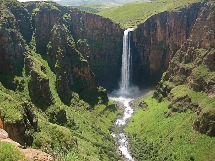
Sights nearby
💡 Tips
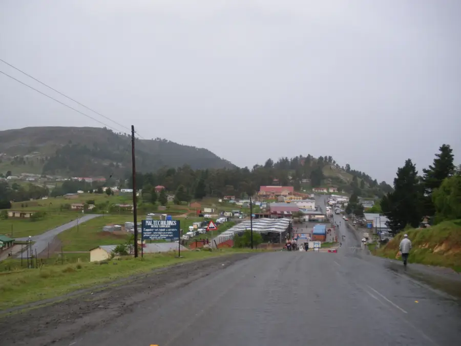
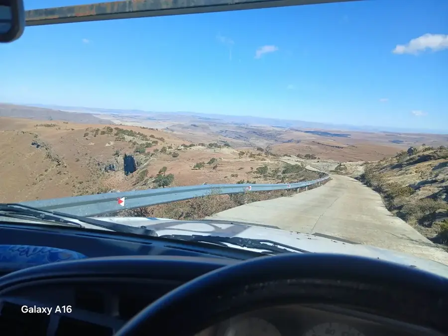
- It's a good stopover town; take a break here to stretch your legs on the winding road to Qacha's Nek.
- Stock up on drinking water and snacks here before heading into more isolated areas.
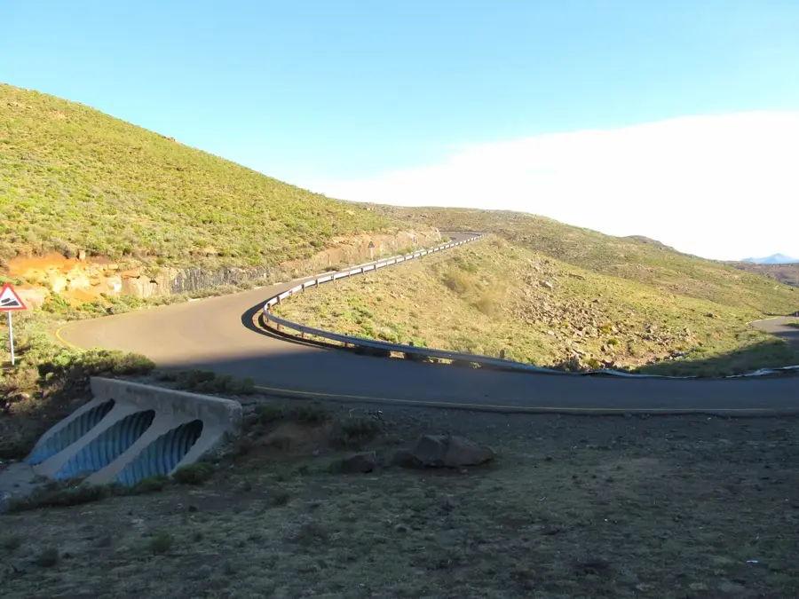
- Drive carefully and watch out for roaming livestock on the surrounding mountain roads.
- Sun protection is crucial at this altitude, even on cloudy days.
🍽 Food
Grab this quick, filling fried bread from small roadside stalls.
A spicy vegetable relish served with maize porridge, available at local canteens.
Get soft drinks and cold snacks from the local trading store.
🛍 Shopping · 🧘 Quiet spots
Pick up fresh, locally grown produce directly from the farmers.
The last chance to buy essential travel goods before venturing further into the mountains.
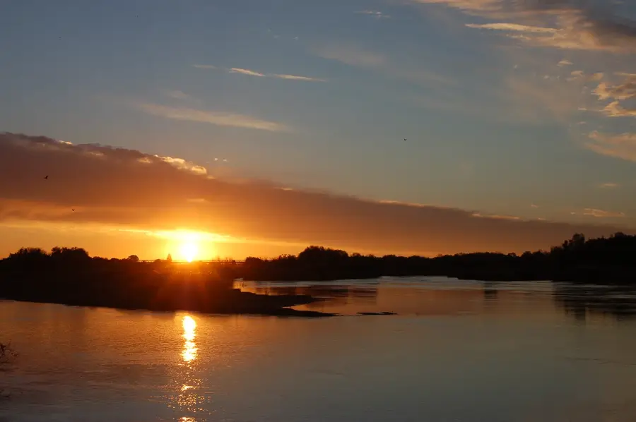
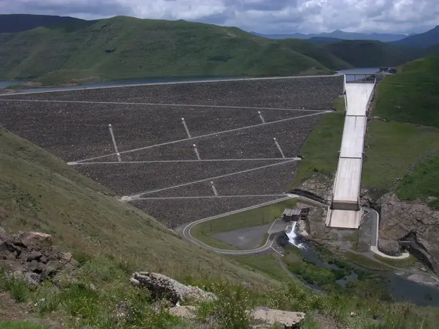
Stop for a magnificent and quiet view over the river valley.
Find a safe spot off the main road to eat your snacks in peace.
Water temperature…
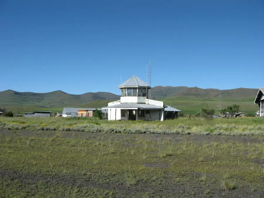
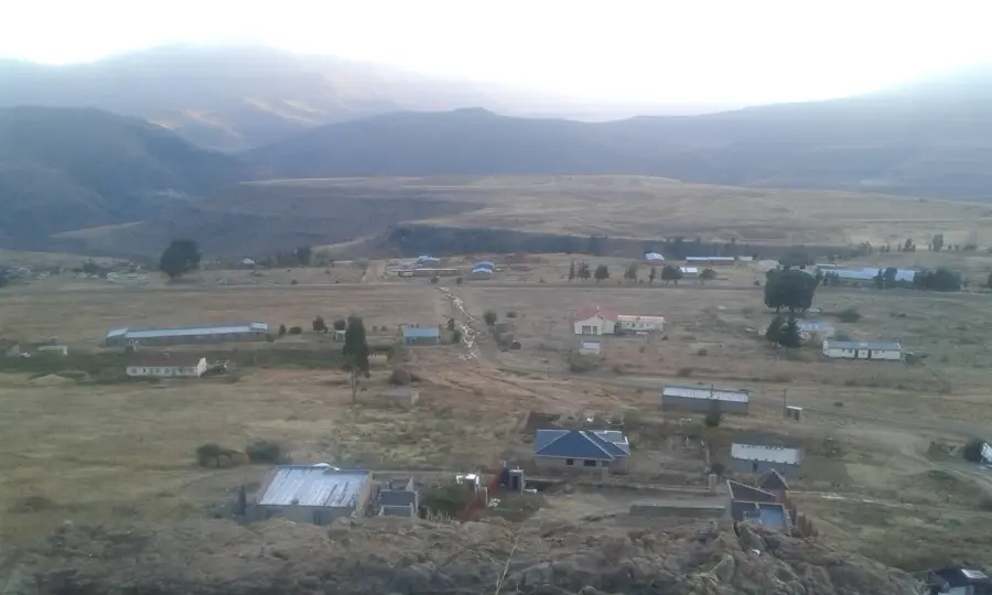
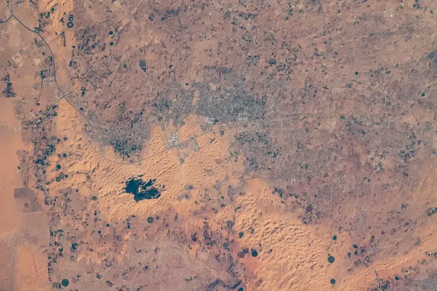
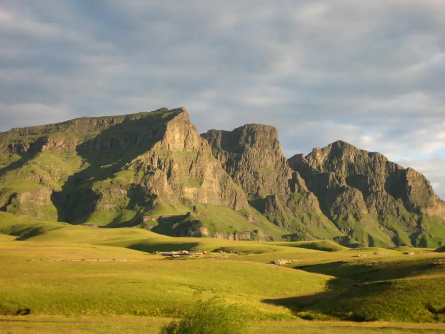
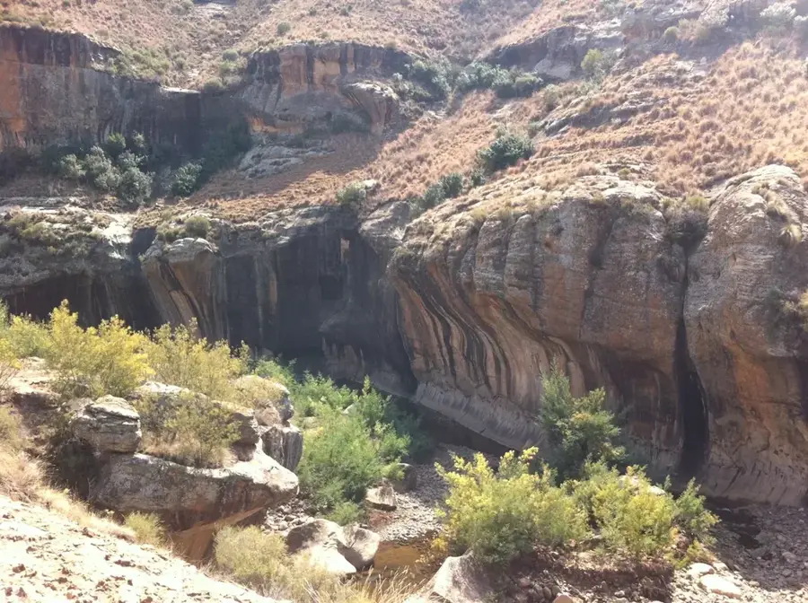
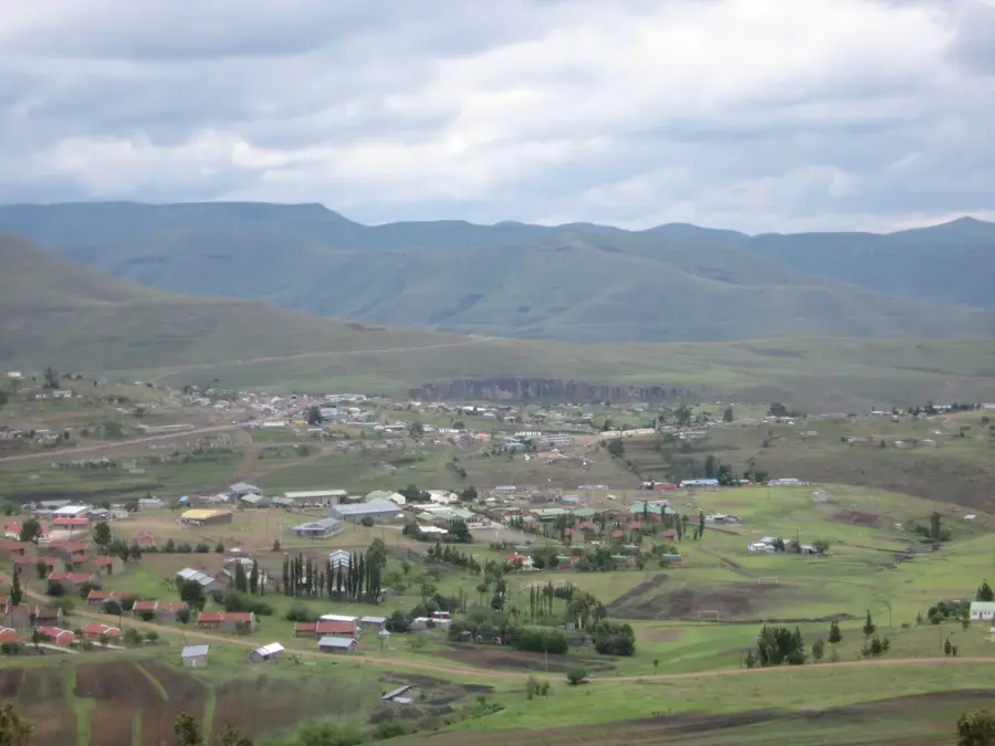
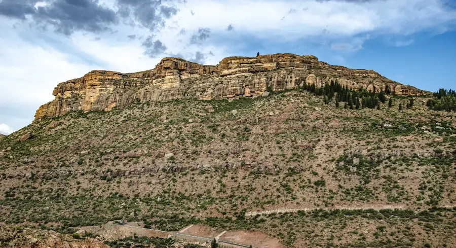
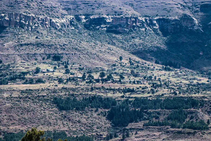
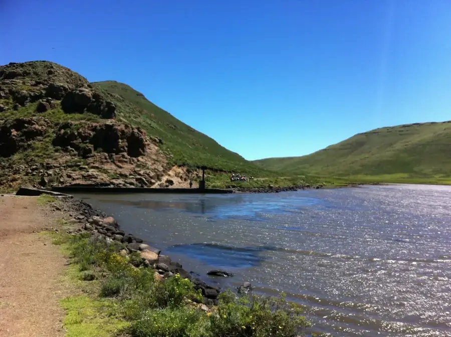
Ha Sekake is a prominent settlement and administrative center located in the Qacha's Nek District of Lesotho, near the banks of the Senqu (Orange) River. It is situated in the rugged southeastern highlands and is served by the Sekake Airport, a critical facility for small aircraft transporting passengers and supplies to this remote region. The village lies at an elevation of approximately 1,700 meters, located within a deep valley surrounded by sandstone and basalt formations. Historically, Ha Sekake has been a major trading post for the Basotho mountain communities, providing essential services such as healthcare and education. Die Wirtschaft ist überwiegend landwirtschaftlich geprägt, mit einem starken Fokus auf die Viehzucht, insbesondere angora goats for mohair and merino sheep for wool. The nearby Senqu River provides a source of water for irrigation and fishing, supporting the local subsistence livelihoods. The area's isolation has preserved many traditional Basotho customs, making it a significant site for cultural continuity in the highlands.
- Location: Lesotho
- Nearby: Tebellong Station (7 km)
Best time to visit & climate
The most pleasant time to visit is Oct–Dec.
| Jan | Feb | Mar | Apr | May | Jun | Jul | Aug | Sep | Oct | Nov | Dec | |
|---|---|---|---|---|---|---|---|---|---|---|---|---|
| Avg °C | 17 | 16 | 15 | 11 | 8 | 5 | 5 | 7 | 11 | 14 | 15 | 17 |
| Rain mm | 149 | 126 | 88 | 49 | 15 | 10 | 13 | 21 | 26 | 64 | 88 | 117 |
Geography
Facts
- Features the Sekake Airport (FXSK).
- Located on the banks of the Senqu River.
- Elevation is approximately 1700 meters.
- Center for high-quality mohair production.
- Administrative hub in the Qacha's Nek District.
- Vital logistics link for remote communities.
Explore nearby
Notable places around
Route planner — Car & Motorhome
Where do you start? We build the route here, with stops and country notes along the way.
© OpenStreetMap contributors · OpenRouteService
Frequently asked questions
What kind of place is Ha Sekake?
Is there any medical care available there?
Can you stay overnight in Ha Sekake?
How is the public transport connection?
What tourist attractions are nearby?
Ha Sekake: where is it located?
Ha Sekake: when is the best time to visit?
Ha Sekake: why is it worth visiting?

Nearby cities
History & landmarks

Nature

More places