Plizio Visual Lab
Qacha's Nek
ℹ️Practical info — Qacha's Nek
▾
🌤 Weather — 5 days
📍 Nearby
Sights nearby
💡 Tips
- Check the opening times of the border crossing to South Africa in advance, as it is not open 24/7.
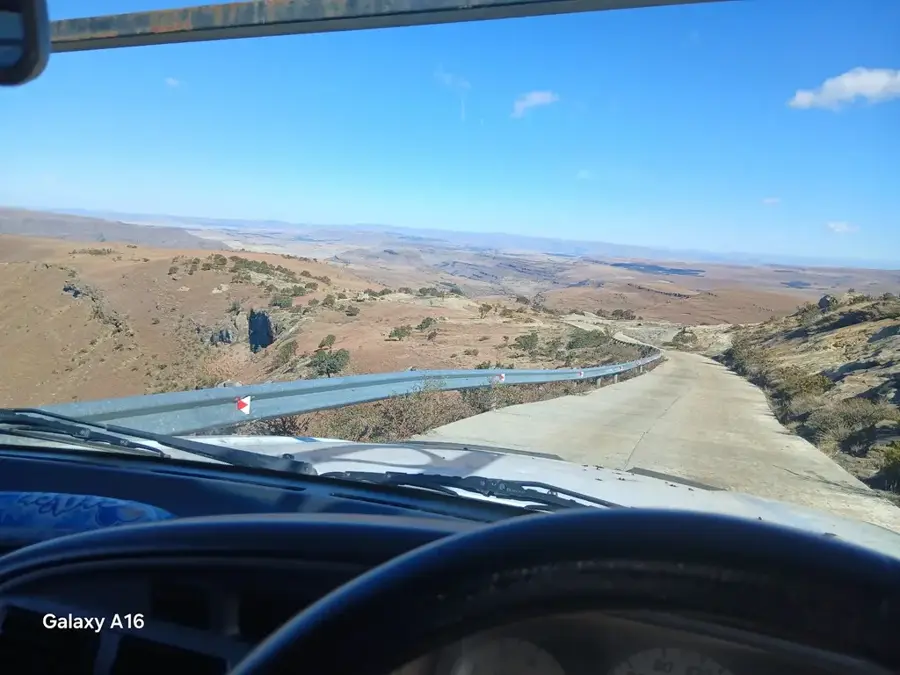
- Use a 4x4 vehicle if you plan to venture off the main paved roads, as the mountain tracks are rough.
- Be prepared for rapid weather changes; thick fog can roll in suddenly in this high-altitude region.
- Avoid driving at night to avoid livestock on the roads and poor visibility caused by fog.
🍽 Food
Ask at local guesthouses for freshly caught trout sourced from the cold surrounding mountain streams.
A warming, simple snack sold by street vendors in the town center when in season.
Deep-fried dough balls convenient for a quick breakfast; best bought fresh in the morning from the market.
🛍 Shopping · 🧘 Quiet spots
Buy juicy, fresh peaches directly from local farmers at the town markets during the late summer.
Beautiful and practical souvenirs, often sold by local women in the market or at roadside stalls.
Walk to the edge of the settlement to enjoy wide-open views plunging down into South Africa's Eastern Cape.
A peaceful, tree-lined spot to rest and escape the general bustle of the border town.
Water temperature…
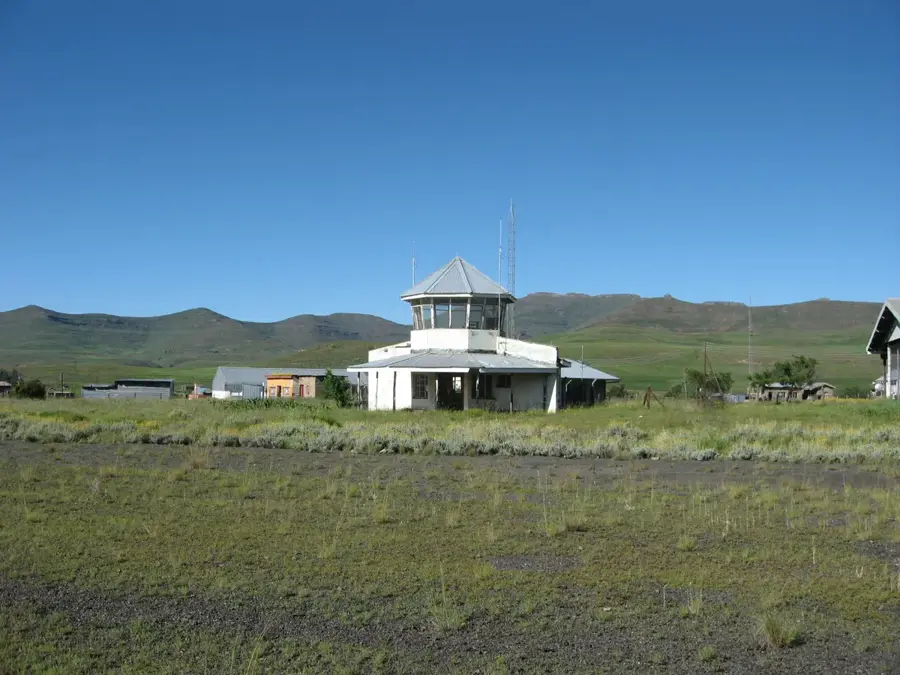
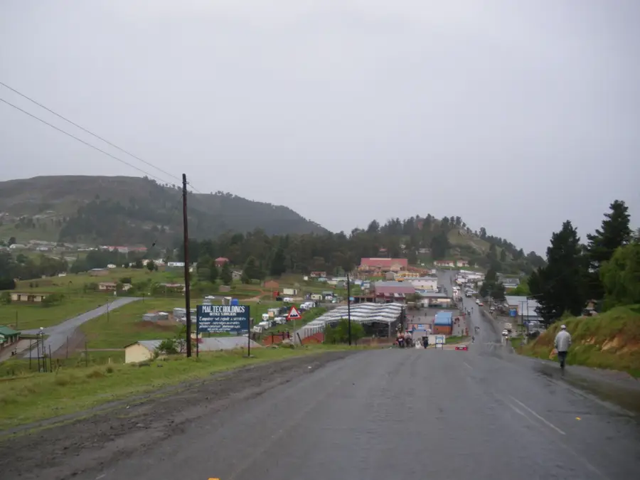
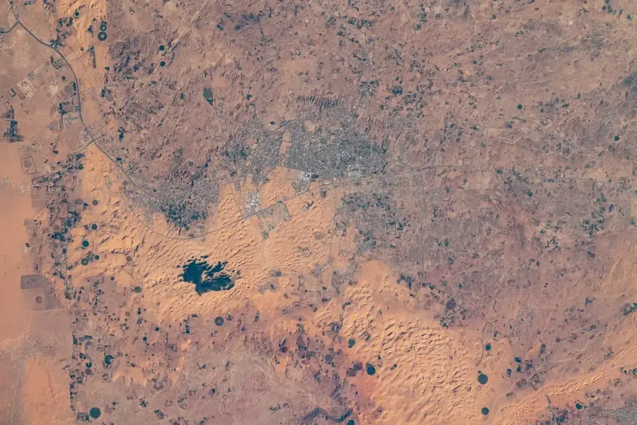
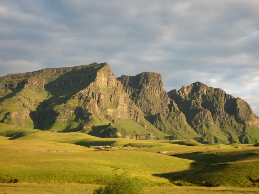
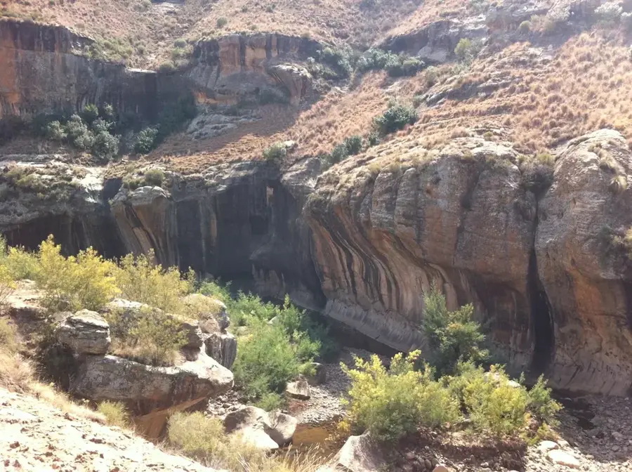
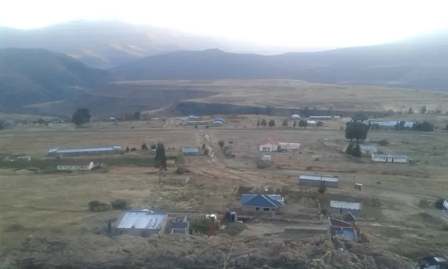
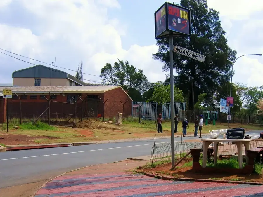
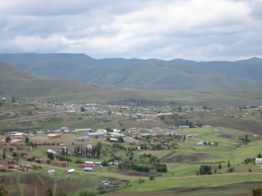
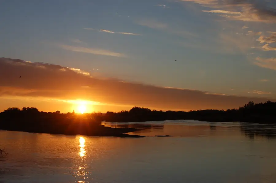
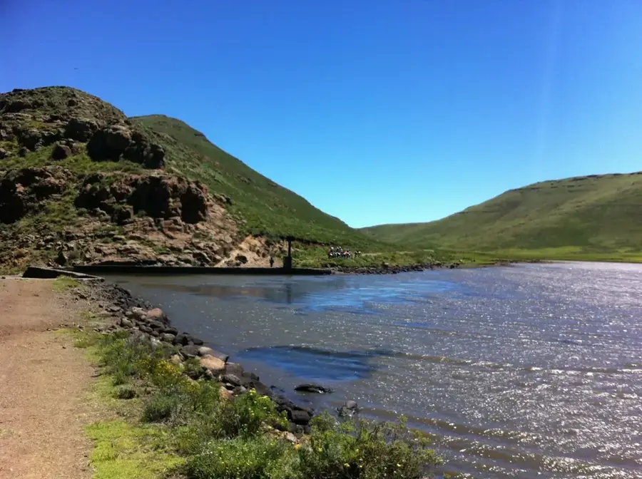
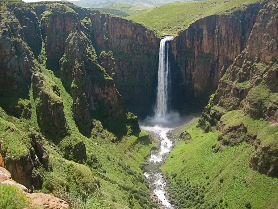
Qacha's Nek is the capital of the Qacha's Nek District in southeastern Lesotho, situated only two kilometers from the border with South Africa. The town was established in 1888 and named after Qacha, the son of the local Baphuthi chief, Moorosi. It is one of the highest towns in Lesotho, perched on a mountain pass in the Maloti range at an elevation of approximately 1,980 meters. Due to its high altitude and geographic position, the town is frequently shrouded in mist and is known for its cool, damp climate. Qacha's Nek serves as a vital administrative and commercial hub for the remote mountain communities of the southeast. The local economy is driven by cross-border trade, livestock farming, and the provision of essential government services. Despite its relative isolation, the town features a local airstrip, a hospital, and secondary schools. The surrounding landscape is characterized by its rugged beauty, offering deep gorges and high peaks handy for trekking. It remains a critical link between Lesotho and the South African provinces of Eastern Cape and KwaZulu-Natal.
- Location: Lesotho
- Top sights: Diocese of Qacha's Nek · Cathedral of the Holy Redeemer (Qacha's Nek, Lesotho)
- Nearby: Ha Mpiti (9 km)
- Population: ~25.573 (2024)
Best time to visit & climate
The most pleasant time to visit is Oct–Dec.
| Jan | Feb | Mar | Apr | May | Jun | Jul | Aug | Sep | Oct | Nov | Dec | |
|---|---|---|---|---|---|---|---|---|---|---|---|---|
| Avg °C | 17 | 16 | 15 | 11 | 8 | 5 | 5 | 7 | 11 | 14 | 15 | 17 |
| Rain mm | 149 | 126 | 88 | 49 | 15 | 10 | 13 | 21 | 26 | 64 | 88 | 117 |
Geography
Facts
- Qacha's Nek was founded in 1888 by colonial official John Blink.
- The town sits at an elevation of approximately 1,980 meters.
- Named after Qacha, the son of the Baphuthi chief Moorosi.
- It is located just 2 km from the South African border post.
- The town is famous for its frequent mist and high rainfall.
- It serves as the administrative capital of the Qacha's Nek District.
Explore nearby
Notable places around
Route planner — Car & Motorhome
Where do you start? We build the route here, with stops and country notes along the way.
© OpenStreetMap contributors · OpenRouteService
Sights in the town Qacha's Nek (2)
Frequently asked questions
What makes Qacha's Nek special?
Is there a snake park in the town?
What are the road conditions?
Can you go pony trekking here?
What clothing should I bring?
Qacha's Nek: where is it located?
Qacha's Nek: what is there to see?
Qacha's Nek: when is the best time to visit?
Qacha's Nek: why is it worth visiting?

Nearby cities
History & landmarks
Nature

More places