Plizio Visual Lab
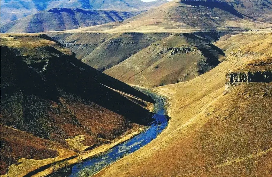
Tsoelike River

Weather…
Water temperature…
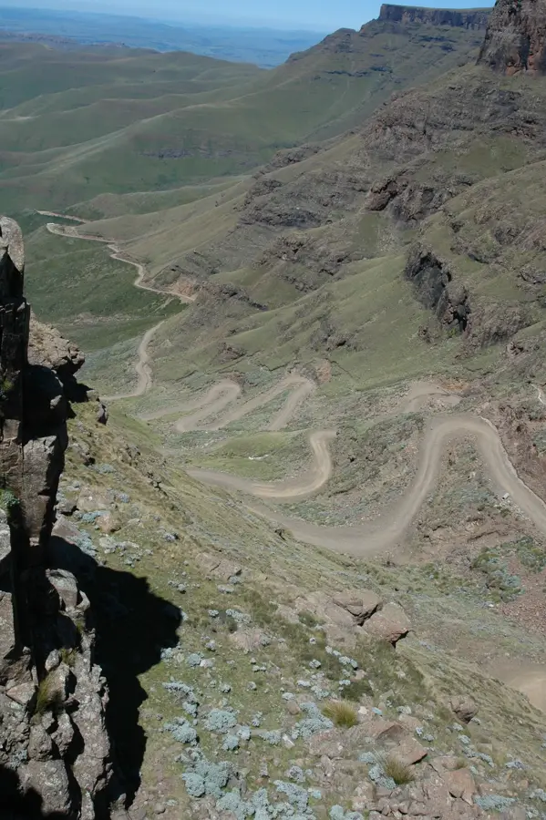
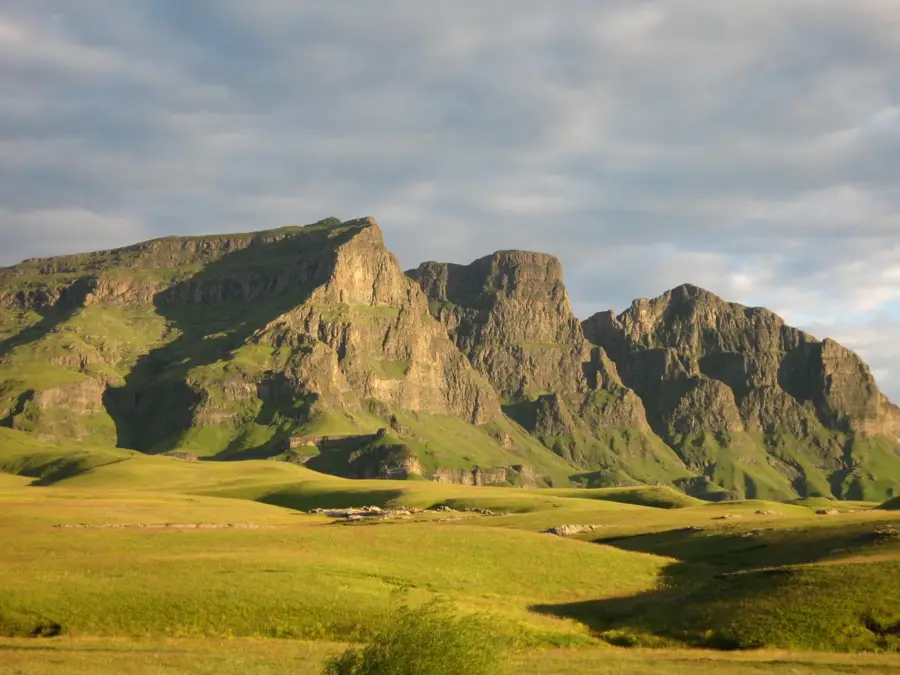
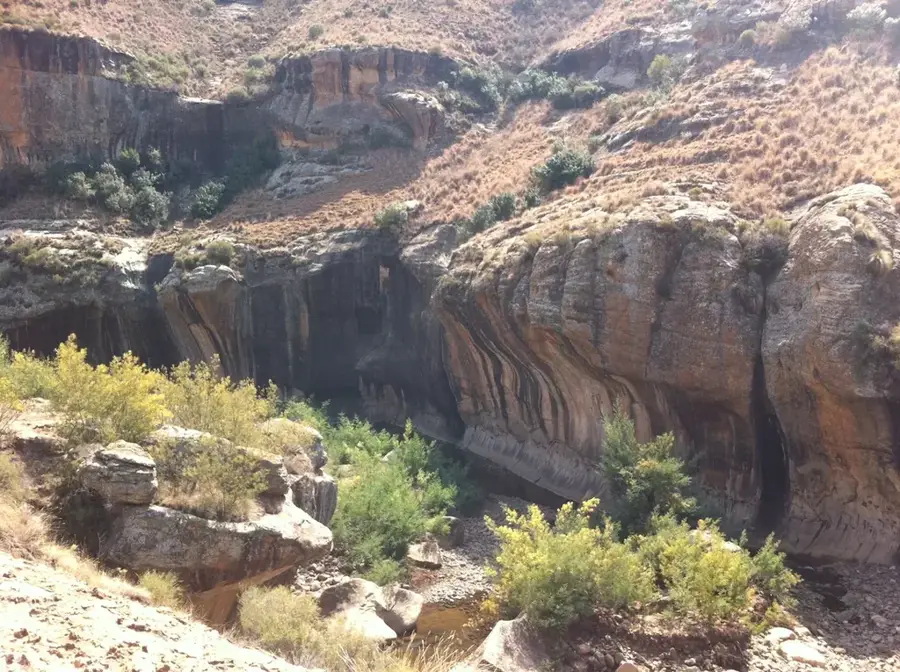
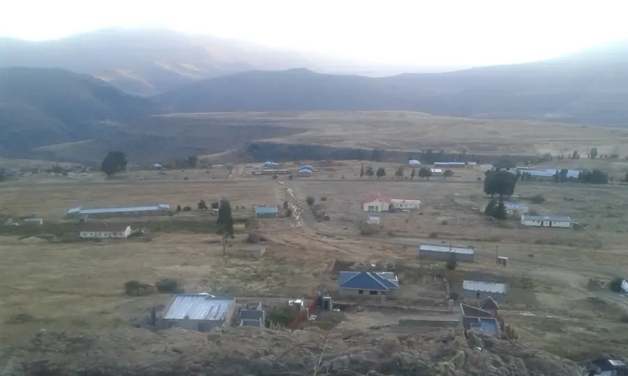
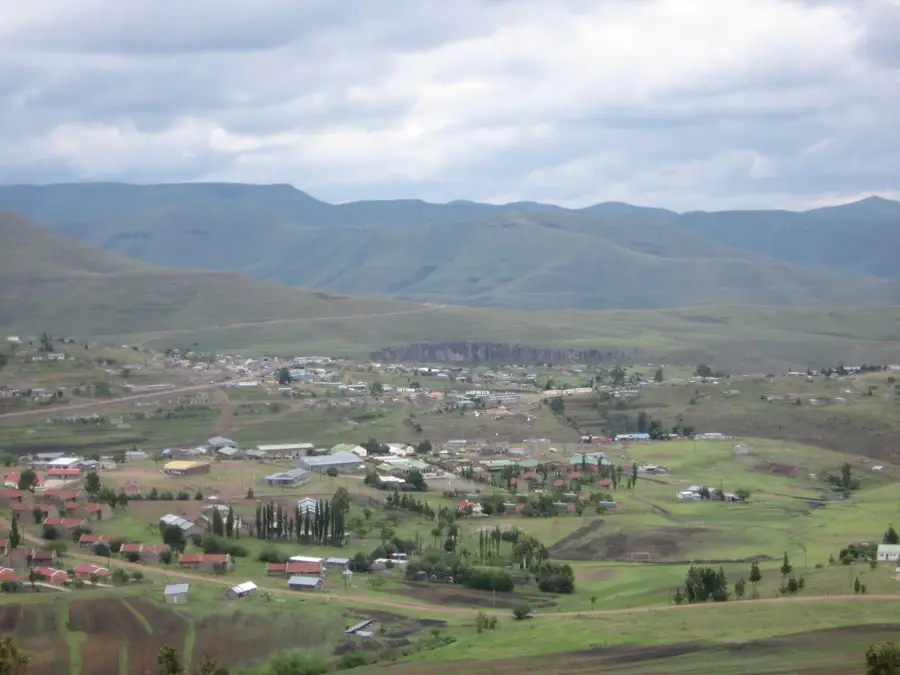
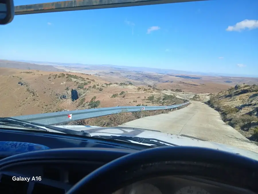
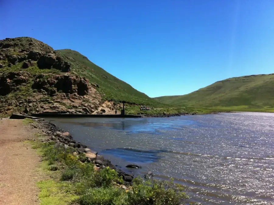
The Tsoelike River is a scenic watercourse in the southeastern highlands of Lesotho, originating near the Sehlabathebe National Park. As a significant tributary of the Senqu (Orange) River, it flows through an extremely rugged and remote landscape. The river is noted for its clear, cold waters, which provide convenient conditions for the rare Maloti minnow and other indigenous fish species. The surroundings of the Tsoelike are defined by spectacular sandstone formations and alpine grasslands, which are part of the Maloti-Drakensberg UNESCO World Heritage site. Historically, the area was inhabited by the San people, who left numerous rock paintings in the sheltered overhangs along the river valley. Today, the land is primarily used for extensive sheep and goat farming, maintaining the traditional lifestyle of Basotho herders. Due to its isolation, the Tsoelike River remains a sanctuary for threatened birds of prey, such as the bearded vulture, which nests in the inaccessible cliffs of the valley.
- Location: Lesotho
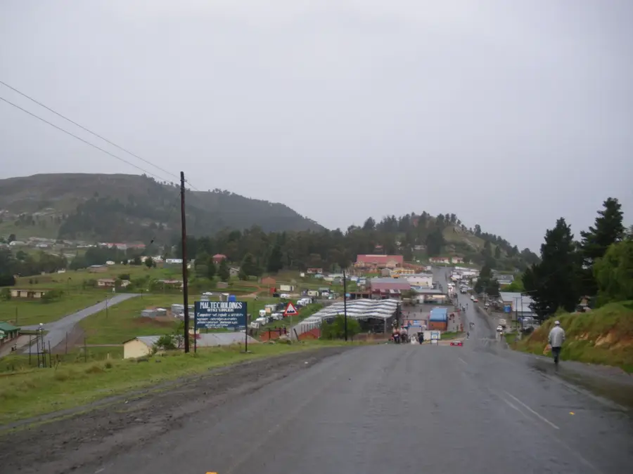
- Nearby: Qacha's Nek (17 km)
Best time to visit & climate
The most pleasant time to visit is Oct–Dec.
| Jan | Feb | Mar | Apr | May | Jun | Jul | Aug | Sep | Oct | Nov | Dec | |
|---|---|---|---|---|---|---|---|---|---|---|---|---|
| Avg °C | 17 | 16 | 15 | 11 | 8 | 5 | 5 | 7 | 11 | 14 | 15 | 17 |
| Rain mm | 149 | 126 | 88 | 49 | 15 | 10 | 13 | 21 | 26 | 64 | 88 | 117 |
📋 Practical info
Geography
Facts
- Originates in the foothills of the Sehlabathebe National Park.
- A crucial habitat for the endangered Maloti minnow (Pseudobarbus quathlambae).
- Part of the Maloti-Drakensberg Park UNESCO World Heritage site.
- The river forms a natural boundary between remote highland regions.
- Home to numerous prehistoric San rock art sites along its course.
- Well-known for its excellent trout fly-fishing opportunities.
Explore nearby
Notable places around
Route planner — Car & Motorhome
Where do you start? We build the route here, with stops and country notes along the way.
© OpenStreetMap contributors · OpenRouteService
Sights nearby
Frequently asked questions
Where is the Tsoelike River located?
What is the main attraction at the Tsoelike?
Is the area family-friendly?
Can you go horseback riding there?
Is there mobile reception?
Tsoelike River: where is it located?
Tsoelike River: when is the best time to visit?
Tsoelike River: why is it worth visiting?

Nearby cities

History & landmarks
Nature
More places